SYNOPTIC STRUCTURE AND EVOLUTION OF A KONA LOW









- Slides: 48

SYNOPTIC STRUCTURE AND EVOLUTION OF A KONA LOW Steven Businger and Ian Morrison University of Hawaii

Kona Low Kona lows are subtropical cyclones that occur during the cool season in the north central Pacific (Simpson 1952, Ramage 1962). l The Hawaiian adjective "kona" means leeward and is used to describe winds with a southerly component that replace the prevailing trade wind regime. l

Weather Hazards

Kona Low of 1997 On 24 - 27 February 1997 a kona low affected the island of Hawaii and brought with it record winds at Hilo, high surf, large hail, and blizzard conditions at higher elevations. l Damage estimates for the storm due to crop loss, property damage, and electricity and phone line outages exceed 4 million dollars (NOAA Storm Data 1997). l

Animation of Water Vapor Imagery

Numerical Prediction Global operational NWP models perform poorly in forecasting kona low development and track. l A lack of data over the central Pacific Ocean and insufficient model resolution are likely factors in this deficiency. l

AVN Forecast Pressure Traces

Reanalysis Case Study A detailed case study of the kona low was conducted using all available operational data and data from the NCEP/NCAR Reanalysis Data Set. l Given the resolution (~2. 5˚) of the Reanalysis data, the focus of the investigation is the synoptic-scale structure and evolution of the low. l

Observed Kona Low Track

Observed Surface Pressure Trace

Surface Analyses

Incipient Stage 18 UTC 23 Feb. 1997

Intensifying Stage 12 UTC 24 Feb. 1997

Mature Stage 12 UTC 25 Feb. 1997

Weakening Stage 12 UTC 26 Feb. 1997

Dissipating Stage 12 UTC 27 Feb. 1997

Satellite Signatures

250 mb Height Analyses

Incipient Stage WV Image

Intensifying Stage WV Image

Mature Stage WV Image

Weakening Stage WV Image

Dissipating Stage WV Image

Quasi-geostrophic Dynamics

Incipient Stage – 250 -mb isotachs, ageostrophic wind, and divergence

Intensifying Stage – 250 -mb isotachs, ageostrophic wind, and divergence

Mature Stage – 250 -mb isotachs, ageostrophic wind, and divergence

Weakening Stage – 250 -mb isotachs, ageostrophic wind, and divergence

Dissipating Stage – 250 -mb isotachs, ageostrophic wind, and divergence

Vorticity Advection by Thermal Wind

Intensifying Stage – Trenberth 500 -mb vorticity and 700 -300 -mb Thickness

Weakening Stage – Trenberth 500 -mb vorticity and 700 -300 -mb Thickness

IPV and Low-level Advection of Moist Air

Intensifying Stage – PV and Advection of qe

Mature Stage – PV and Advection of qe

Intensifying Stage – Best Lifted Index

Weakening Stage – Best Lifted Index

Vertical Structure

Intensifying Stage: Vertical Cross Section Height and Temperature Anomalies

Weakening Stage: Vertical Cross Section Height and Temperature Anomalies

Kona Low Propagation

Rossby Wave Propagation Prediction

Conclusions Enhanced PVA associated with a north-south oriented jet streak at 250 mb was the mechanism for genesis. l Height anomalies and absolute vorticity were greatest at 250 mb. Temperature anomalies were greatest at 300 -400 mb. l An enhanced pressure gradient on the western side of the low was maintained as the circulation propagated westward towards an upper-level ridge. l Enhanced low-level advection of warm, moist air was linked to large potential vorticity aloft. l

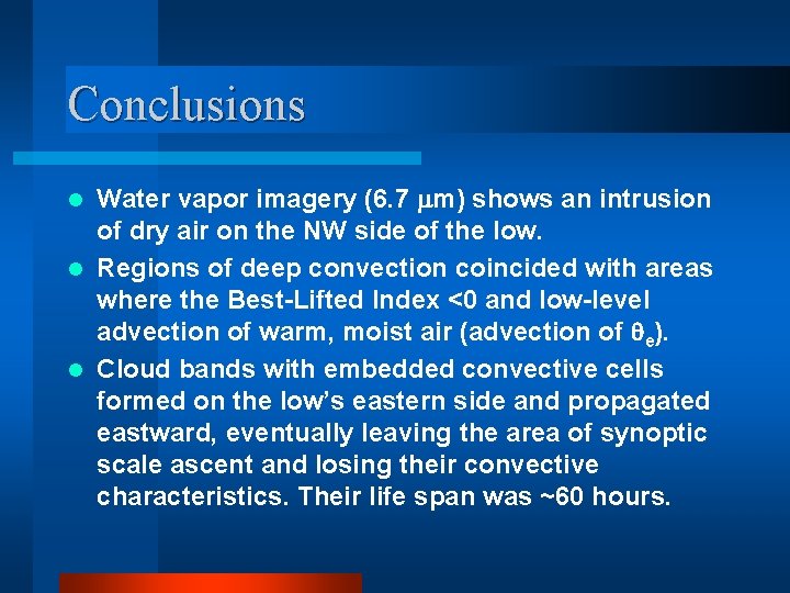
Conclusions Water vapor imagery (6. 7 mm) shows an intrusion of dry air on the NW side of the low. l Regions of deep convection coincided with areas where the Best-Lifted Index <0 and low-level advection of warm, moist air (advection of e). l Cloud bands with embedded convective cells formed on the low’s eastern side and propagated eastward, eventually leaving the area of synoptic scale ascent and losing their convective characteristics. Their life span was ~60 hours. l

Conclusions The low dissipated when the surface cyclone moved westward relative to the upper level low and the circulation became decoupled. l The Rossby-wave dispersion relationship was found to provide a good estimate of the zonal propagation speed of the kona low throughout its life cycle. l

Forecast Challenge Rainbands associated with the kona low track eastward, as rainbands do in midlatitude systems. l However, vigorous new rainbands form to the west of older bands, as the storm center tracks westward, creating a special forecast challenge. l

References Businger, S. , T. Birchard Jr. , K. Kodama, P. A. Jendrowski, and J. Wang, 1998: A bow echo and severe weather associated with a kona low in Hawaii. Wea. Forecasting, 13, 576 -591. Kodama, K. R. and G. M. Barnes, 1997: Heavy rain events over the south-facing slopes of Hawaii: Attendant conditions. Wea. Forecasting, 12, 347 -367. Ramage, C. S. , 1962: The subtropical cyclone. J. Geophys. Res. , 67, 1401 -1411. ____, 1995: Forecasters guide to tropical meteorology, AWS TR 240 Updated. AWS/TR 95/001, AWS, USAF, 392 pp. [Available from Headquarters AWS, Scott AFB, IL 62225. Schroeder, T. A. , 1977 a: Meteorological analysis of an Oahu flood. Mon. Wea. Rev. , 105, 458 -468. ____, 1977 b: Hawaiian waterspouts and tornadoes. Mon. Wea. Rev. , 105, 1163 -1170. Simpson, R. H. , 1952: Evolution of the Kona storm: A subtropical cyclone. J. Meteor. , 9, 2435. Acknowledgement This research was supported by the UCAR COMET Outreach Program under grants UCAR S 97 -86992 and S 98 -87020.

Questions?