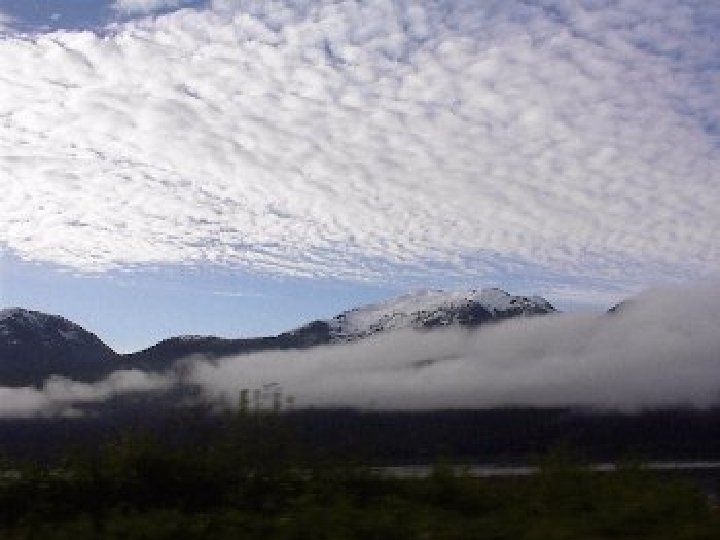
Stratus Clouds 0 2 km Stratus Clouds Appearance


- Slides: 37
Stratus Clouds 0 -2 km
Stratus Clouds Appearance • • Flat Layered Thin Dark Gray to Near White Weather • Light drizzle or mist
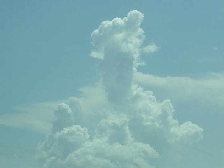
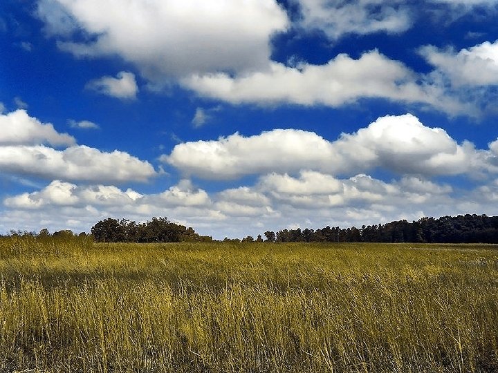
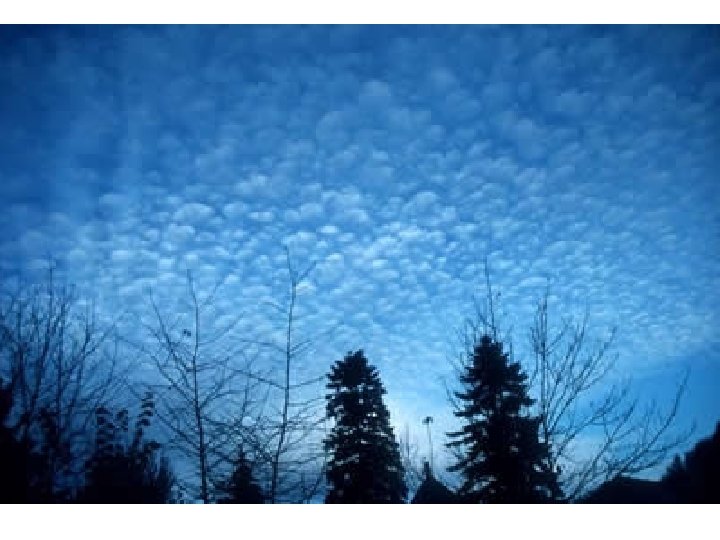
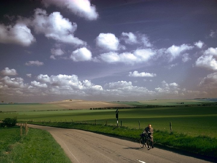
Cumulus Clouds 0 -13 km
Cumulus Clouds Appearance Weather • Looks like giant cotton balls • May appear alone or in groups. • Usually white, but may appear to be gray. • As tall as 1 km • Usually mean nice weather. • Can form into larger clouds that lead to thunderstorms.
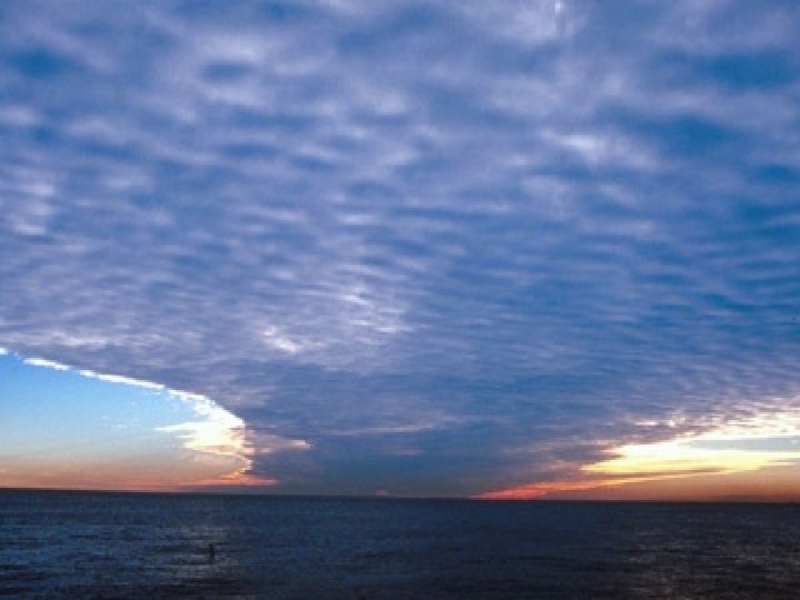
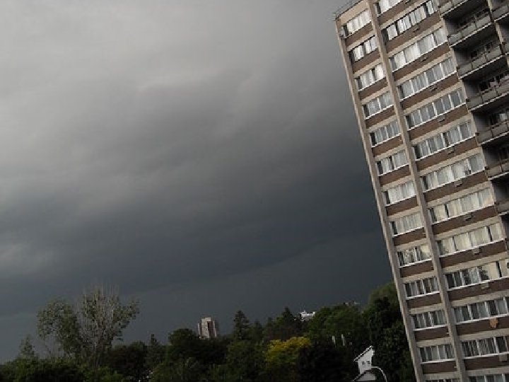
Stratocumulus Clouds 0 -2 km
Stratocumulus Appearance Weather • Large masses. • Usually appear in groups and are either close together or connected. • Dark Gray • Low, lumpy • Larger than Alostratus • Usually signal an incoming storm. • Light precipitation.
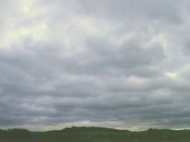
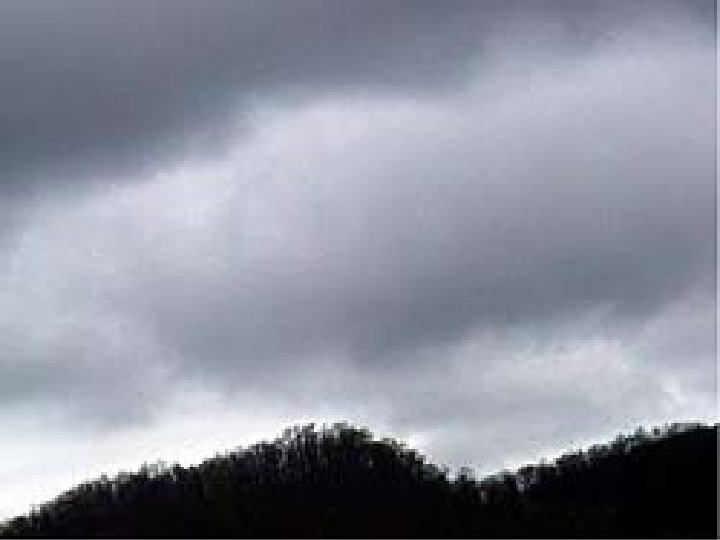
Nimbostratus Clouds 0 -2 km
Nimbostratus Appearance Weather • Dark Gray in color. • They often join together to cover the whole sky. • Long and flat. • They are rain clouds. • Continuous rain or snow
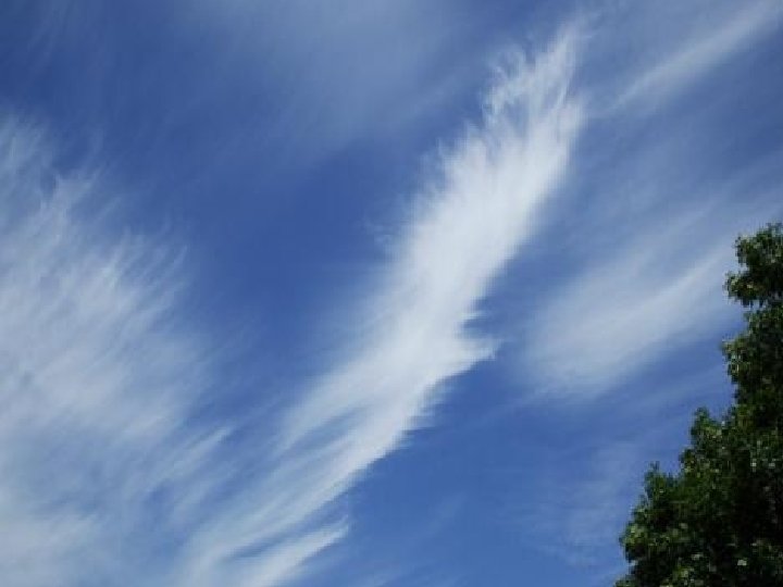
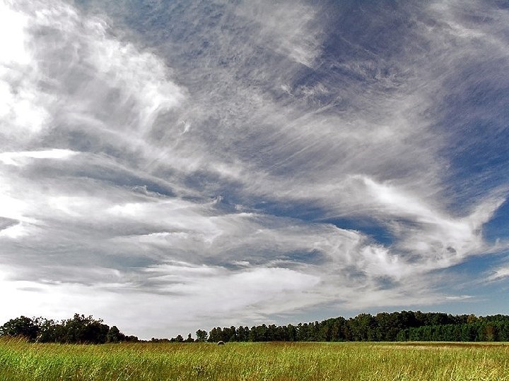
Cirrus Clouds 5 -13 km
Cirrus Appearance Weather • Thin, wispy like pieces. • Look like brush strokes or hair. • White in color • Composed of ice • Signal a change in the weather, but they do not carry precipitation. • Sometimes they are the remains of old thunderstorms. • Usually fair weather
Altostratus Clouds 2 -7 km
Altostratus Appearance Weather • Groups of clouds that are 1 km thick • Thunderstorms in late afternoon
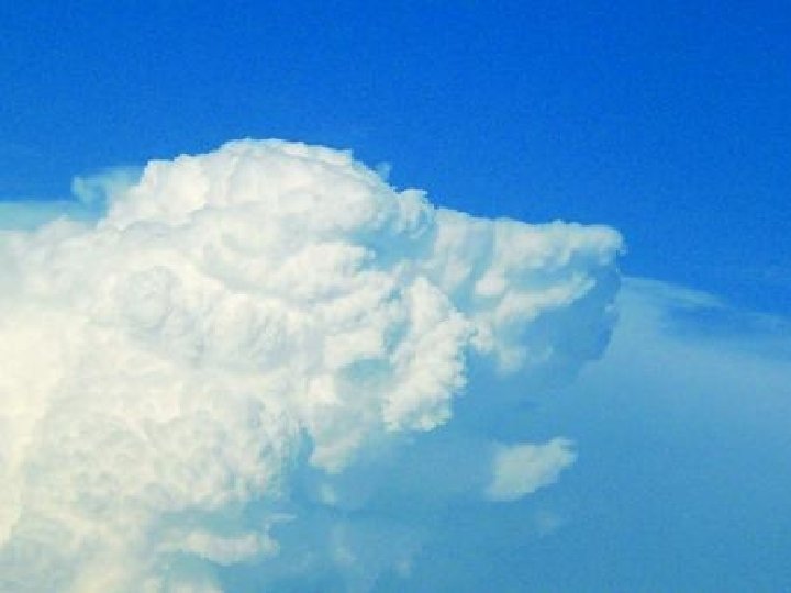
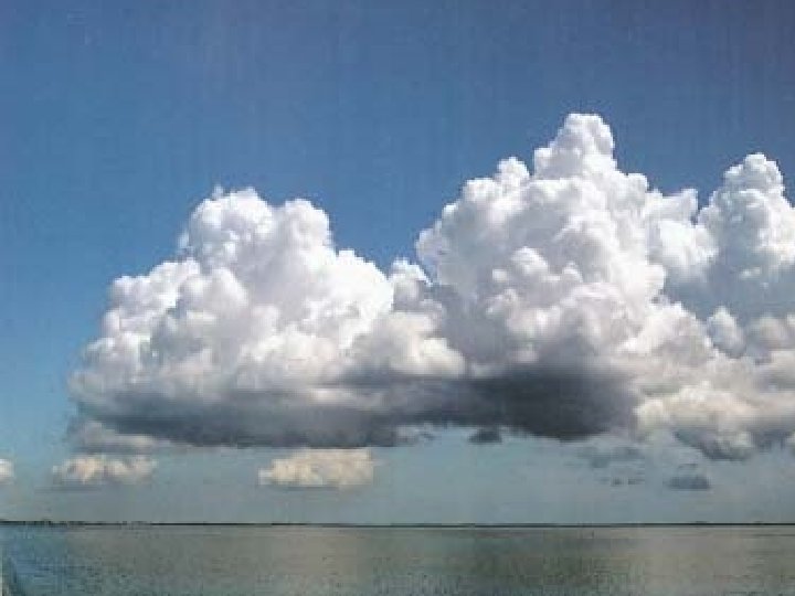
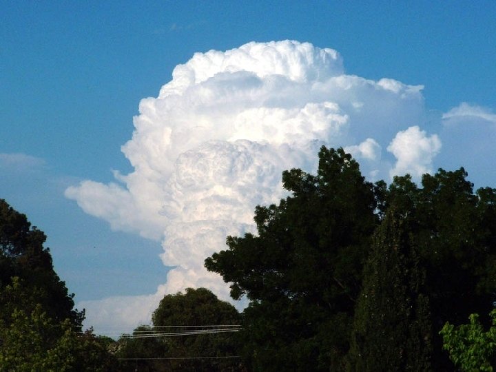
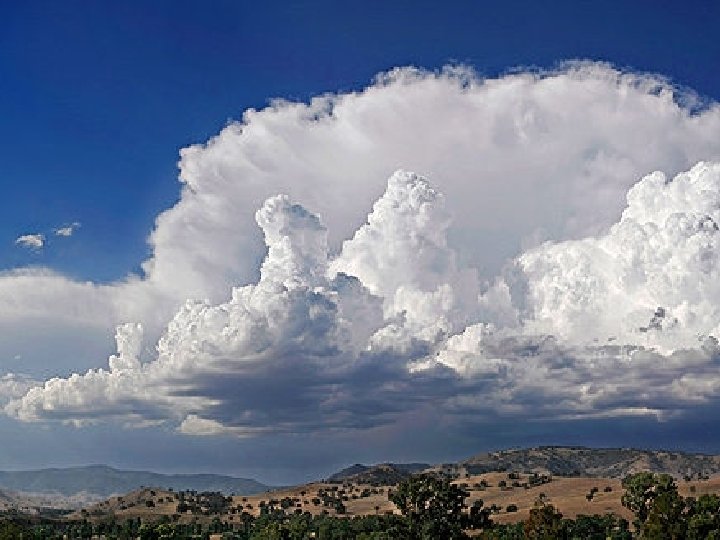
Cumulonimbus Clouds 0 -13 km
Cumulonimbus Appearance • • Gray to white in color. Flat bottom and puffy top. Anvil like shape Very TALL-10 km Weather • They are thunderstorm clouds – Heavy Lightening, hail, snow, thunder, tornadoes and rain.