Step 1 Create a folder with your name

 Water Absorption Cell Structure TM 5 (MIR) Water Absorption NIR 3")


")

- Slides: 15
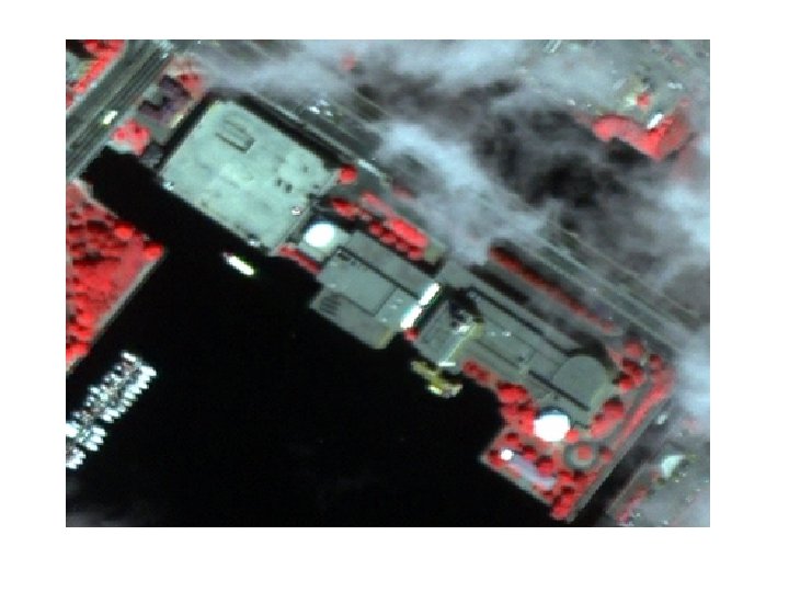
Step 1: Create a folder with your name on your computers desktop to save downloaded materials in. Step 2: Download “Multispec” software http: //dynamo. ecn. purdue. edu/%7 Ebiehl/Multispec Step 3: Download the Beverly Mass imagery from the globe website http: //www. globe. unh. edu Follow the links 1. Multispec Materials 2. Elctronic Mapping Download the following… 1. Bevsub. lan 2. Bevsub. clu
TM 7 (MIR) Water Absorption Cell Structure TM 5 (MIR) Water Absorption NIR 3 NIR 1 Leaf Pigments Lignin TM 4 (NIR) Red Edge TM 1 (Blue) TM 2 (Green) TM 3 (Red) White Pine Spectral Curve & Landsat Band Regions Water Content Cellulose
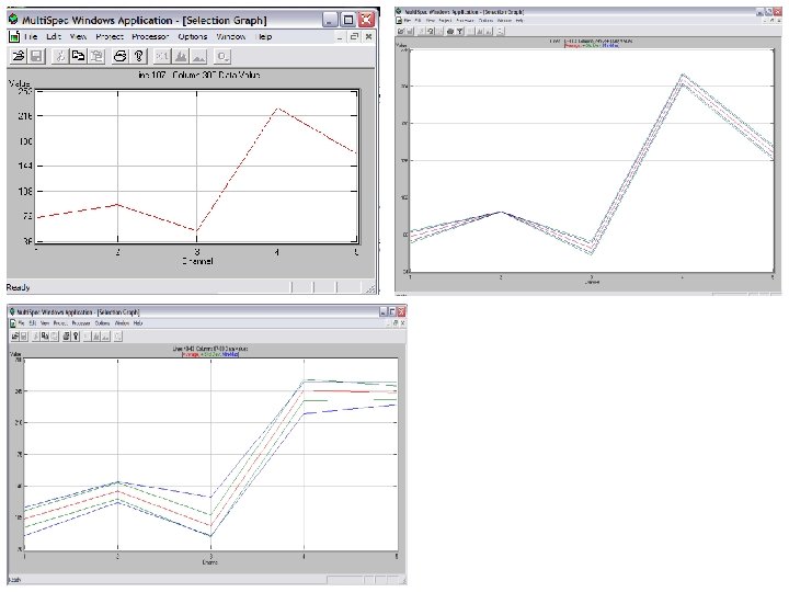
Tree # Maple Oak Pine 1 st yr Pine 2 nd yr REIP 728. 5 723. 9 722. 3 720. 8 NDVI 0. 88 0. 897 0. 821 0. 797 TM 54 0. 64 0. 565 0. 475 0. 533 NIR 31 0. 877 0. 83 0. 813 0. 865
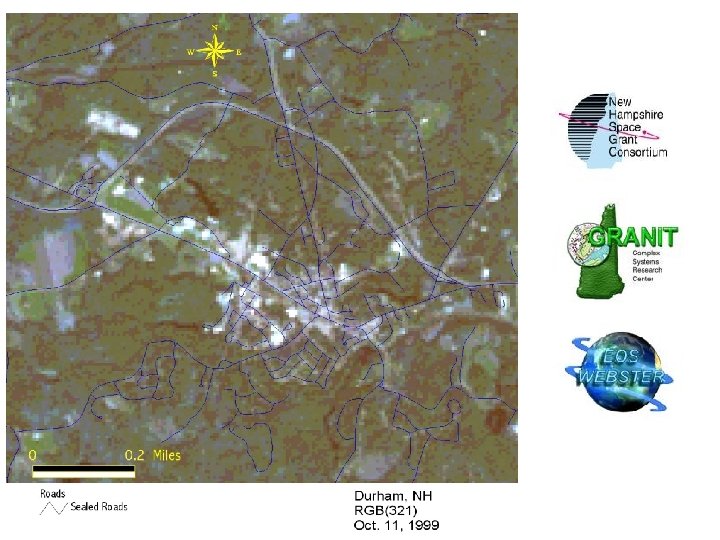
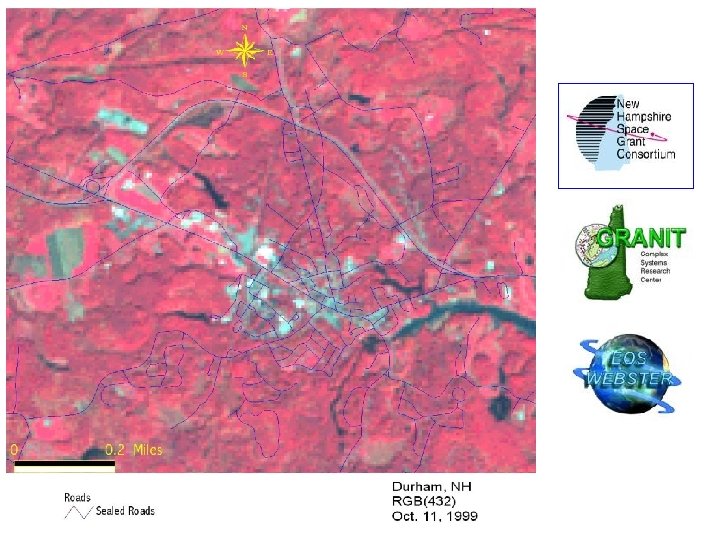
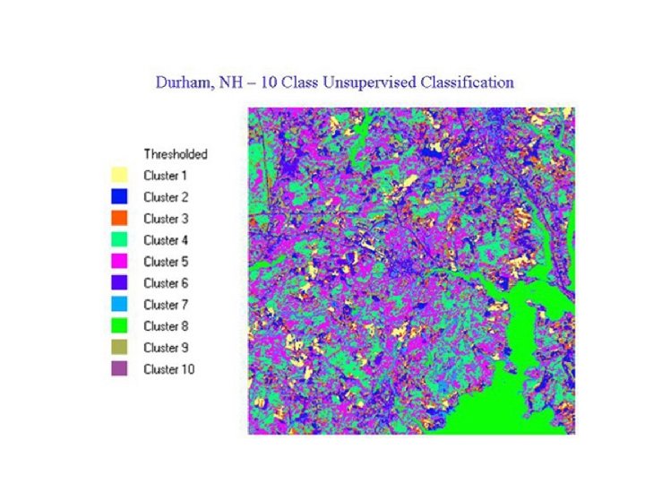
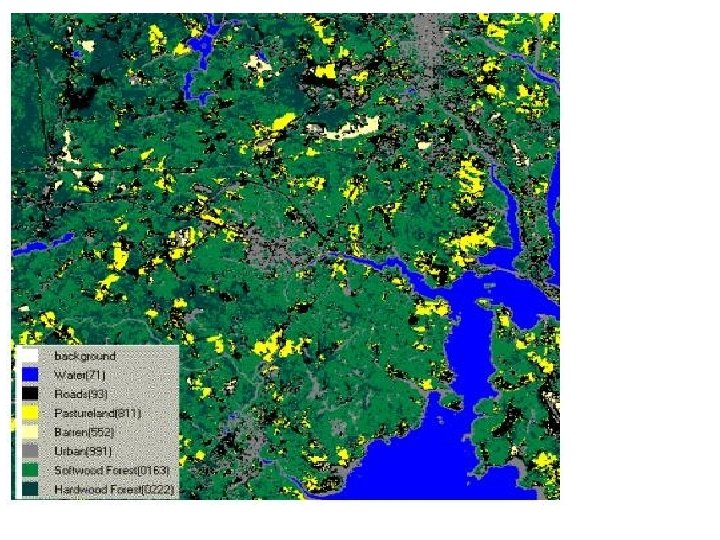
Durham, NH Unsupervised Classification 10 -Class 10/11/1999
Supervised Land Cover Classification for Durham NH (10 Class)
REMOTELY SENSED FOREST VEGETATION MAPS: RASTER MAPS CREATED FROM LANDSAT TM IMAGERY July 1996 Landsat TM Image Pawtuckaway Study Area, NH, USA Forest Cover Type Map from Classification of July 1996 Landsat TM Image Pawtuckaway Study Area, NH, USA Legend Class Names White Pine-Hemlock Other Conifer Hemlock Oak Red Maple Mixed Forest Nonforest Beech Other Scale Kilometers AA_Vis_13