Steerhead Ranch Purpose Mapping lower Paleozoic rocks Mapping


 § Use regional values elsewhere")


 § Remember it is")


- Slides: 16
Steerhead Ranch
Purpose Mapping lower Paleozoic rocks } Mapping syntectonic growth strata } First exposure to mapping faults }
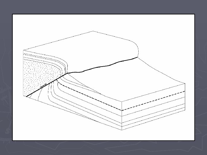
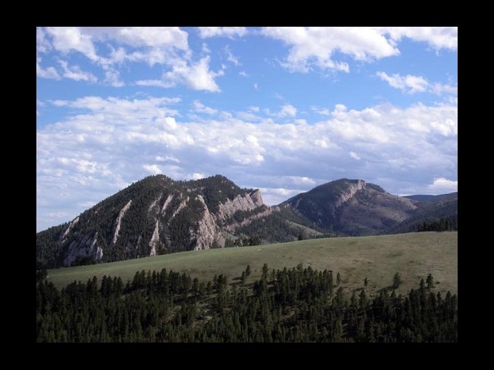
General geology Straddles the boundary between basement uplift and the adjacent Powder River Basin § Hanging-wall anticline thrust over Tertiary basin fill strata. § Major reverse fault with subsidiary normal and tear faults in the hanging wall. § Clear Creek Thrust ma well have override a land surface and its own syntectonic growth strata.
Local stratigraphy § Nelson (1968) § Use regional values elsewhere
How do we recognize faults? } } } Stratigraphic duplication Stratigraphic omission Truncation of contacts or other structural grains Abrupt changes in strike and dip Fault rocks § Breccia § Gouge Streams may follow faults } Misaligned ridges and valleys }
Extensional faults
Tear faults
Splay faults
Composite structure
How do faults terminate Edge of the map or cross section! } Another fault } Splaying into several smaller faults } Zone of ductile deformation…. here the Gallatin. Gros Ventre }
Helpful hints } } } Look for evidence of faults. Don’t imagine them Use schematic maps and cross sections to help figure out complicated field relations This structure can’t be solved with fewer than seven faults. Be mindful of the relationship of structure to topography. Remember your map resolution § You can’t map a fault with only 5’ of offset
Mapping/Section guidelines } Map all gravel as Tertiary Wasatch (Tw) § Remember it is in the hanging-wall and footwall § THINK about the Tw thickness and what may be underneath Map the Gros Ventre and Gallatin as a single unit (Cgg). Its attitude may not reflect the big picture structure. } Different units will be in the upper plate along the trace of the Clear Creek Thrust } Both your sections must agree on lower plate stratigraphy and fault geometry }
What you need for tomorrow } } } } Positive attitude All field gear All mapping implements Liability waiver Patience…. this area is easy to cover. Don’t do it too quickly or you will miss things. Sit a lot…. draw cross sections! The Hole, Confusion Hill, Coyote Peak Be prepared for the walk of shame….
The plan for tomorrow