
SSE Web Map Viewer Recent Developments Steven Smolders

SSE Web. Map. Viewer Recent Developments Steven Smolders SSE Workshop 2009 10. 11. 2009 ESA - ESRIN, Frascati, Rome • ] • [ / • 30
Overview • Introduction • Recent Developments • SOS Client upgrade • Logging module • SLD-WMS support • AOI attribute definition • Gzip compression • WFS stylesheet wizard improvements • WMS animation improvements • EO Profile of GML • Miscellaneous improvements • Planned developments 2
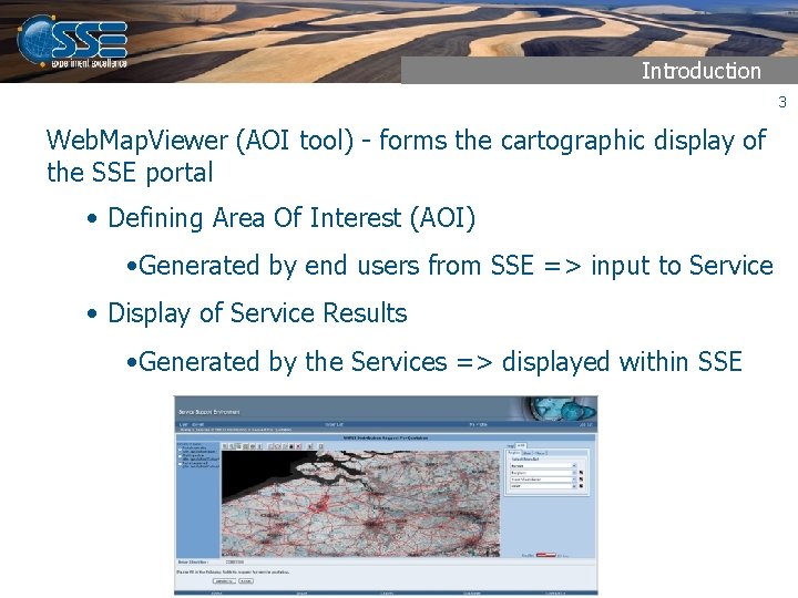
Introduction 3 Web. Map. Viewer (AOI tool) - forms the cartographic display of the SSE portal • Defining Area Of Interest (AOI) • Generated by end users from SSE => input to Service • Display of Service Results • Generated by the Services => displayed within SSE
Introduction • Supported Service Result Types 4 • GML Files (SSE SR GML Application schema & EO GML) • Shape Files • Web Map Services (1. 1. 0 & 1. 1. 1 & 1. 3. 0) • Web Map Context Documents (1. 0. 0 & 1. 1. 0) • Web Feature Services (1. 0. 0, 1. 1. 0 Simple Features GML) • Web Coverage Services (1. 0. 0) • Raster data files (Coverages) • Sensor Observation Services (0. 0. 0 and 1. 0. 0) • Transactional WFS • KML 2. 1 and 2. 2 Files • SLD-enabled WMS
Sensor Observation Services • Upgrade of SOS Client 5 - OGC Sensor Observation Services allow accessing observations (O&M) over the WWW using standardised protocols - Enhancements • Support SOS and O&M Version 1. 0. 0 • Flexible support for different Observation models using XSLT • Interoperable with both UMN Map. Server and 52° North
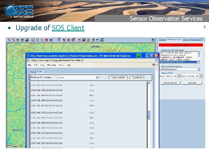
Sensor Observation Services • Upgrade of SOS Client 6
Logging Module • Logging Module - Tool for service providers to troubleshoot issues with the integration of OGC Web Services - Allows logging and display of • all WMS, WFS, WCS & SOS requests and responses • per user session • Information on HTTP response codes, use of gzip, use of cache, . . 7
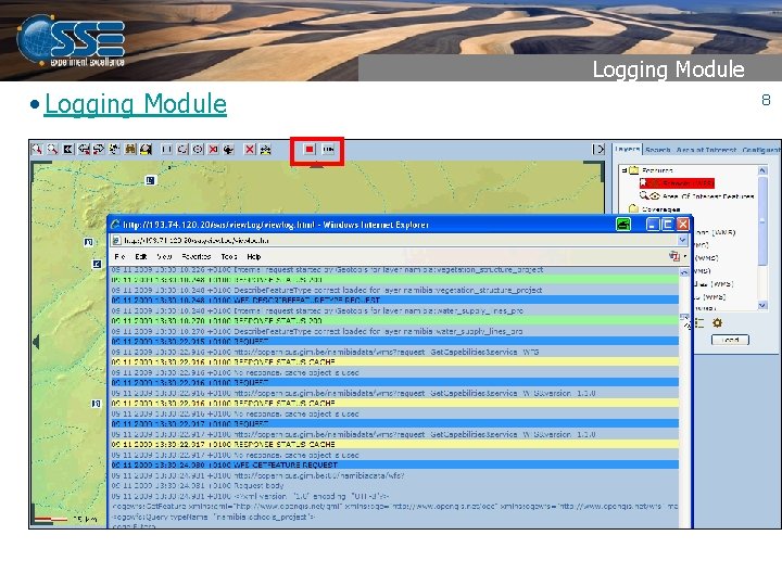
Logging Module • Logging Module 8
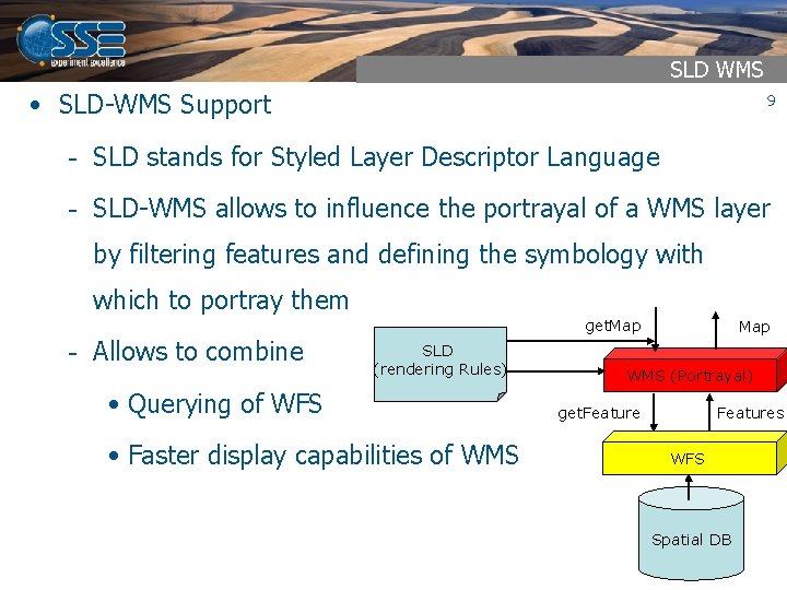
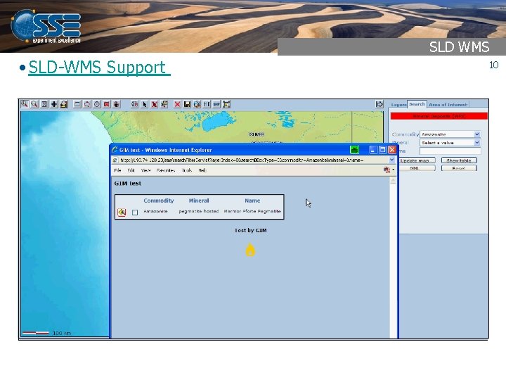
SLD WMS • SLD-WMS Support 9 - SLD stands for Styled Layer Descriptor Language - SLD-WMS allows to influence the portrayal of a WMS layer by filtering features and defining the symbology with which to portray them get. Map - Allows to combine SLD (rendering Rules) • Querying of WFS • Faster display capabilities of WMS Map WMS (Portrayal) get. Features WFS Spatial DB
SLD WMS • SLD-WMS Support - 10
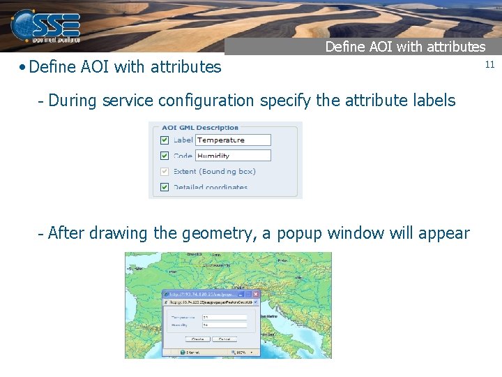
Define AOI with attributes • Define AOI with attributes - During service configuration specify the attribute labels - After drawing the geometry, a popup window will appear 11
Gzip compression for OGC Services • GZIP Compression 12 - WFS & SOS relatively slow due to transfer of bulky GML/O&M - Size can be reduced to up to 90% by using gzip - Be aware that (un)zipping has got a cost which on fast networks may outweigh performance gains - At Web. Map. Viewer level the use of compression can be set in configurator - At OGC Service level compression can be realised within the product (e. g. Geo. Server), at Web Server level or by adding an HTTP filter
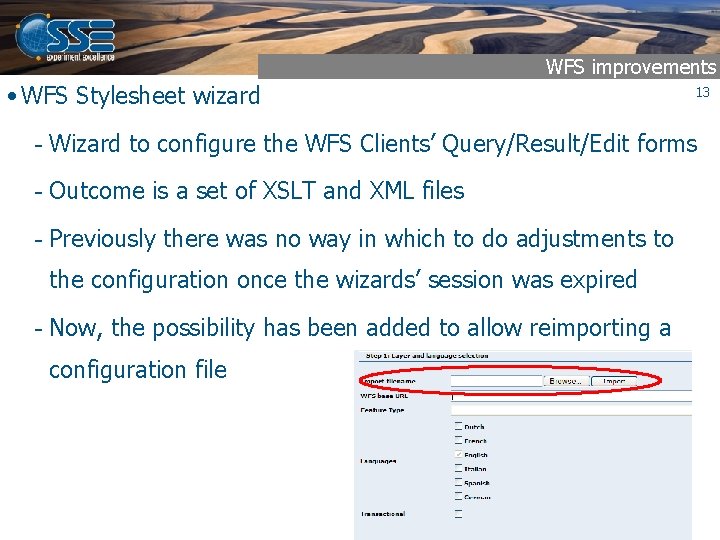
WFS improvements • WFS Stylesheet wizard 13 - Wizard to configure the WFS Clients’ Query/Result/Edit forms - Outcome is a set of XSLT and XML files - Previously there was no way in which to do adjustments to the configuration once the wizards’ session was expired - Now, the possibility has been added to allow reimporting a configuration file
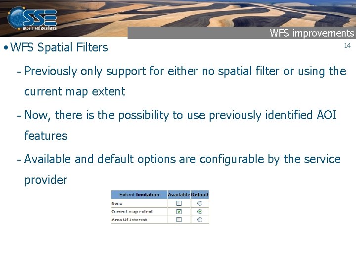
WFS improvements • WFS Spatial Filters 14 - Previously only support for either no spatial filter or using the current map extent - Now, there is the possibility to use previously identified AOI features - Available and default options are configurable by the service provider

Supporting EO Profile GML • EO Profile of GML 15 - EO Product metadata format defined in HMA series of projects - “Complex GML” with multiple geometry types and nesting of attributes - Standalone Web. Map. Viewer can visualise this type of GML with service provider configuration of identify form (XSLT)
WMS Animation • WMS Animation improvements - Previously only supported for WMS with time dimensions defined by a start time, end time and a period. - Now also supporting time dimensions defined as a list of discrete times - Improvements in the loading cycle of the images allowing very small replay intervals. 16
Other evolutions • Support for Opera browsers • Coverage download window improvements • Default Context files for polar CRS • In configuration mode - display the coordinates of the limiting extent - allow modification of Wx. S URL parameters • Switch automatic to the AOI, search, coverage, . . . Tabs • Consolidation of Javascript API • Additional JS function to retrieve count and extent of AOI features • . . . 17
Future Work 18 • Planned developments - Upgrade WCS client to forthcoming WCS 2. 0. 0 EO Application schema in HMA FO project - Provide the possibility to clear Web. Map. Viewer cache for specific OGC services
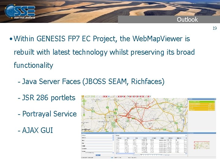
Outlook 19 • Within GENESIS FP 7 EC Project, the Web. Map. Viewer is rebuilt with latest technology whilst preserving its broad functionality - Java Server Faces (JBOSS SEAM, Richfaces) - JSR 286 portlets - Portrayal Service - AJAX GUI
- Slides: 19