Spatial Data Models Spatial Data Models Three common


- Slides: 9
Spatial Data Models
Spatial Data Models • Three common spatial data models • Vector • Raster • Triangulated Irregular Network (TIN)
Vector Data Model • Defines discrete objects • Ex: Fire hydrants, roads, ponds, cadastre • 3 basic types of vector data • Point • Line • Polygon • Composed of coordinates and attributes
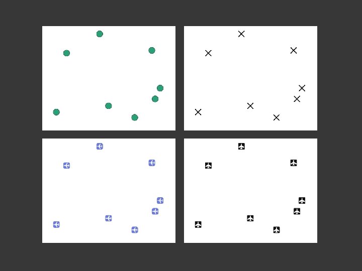
Point • Uses a single coordinate pair to define location • Considered to have no dimension • (They may have actual real-world dimensions, but for the purposes of a GIS, no dimension is assumed) • Attribute information is attached to the point • Ex: Light poles, manhole covers, crime location
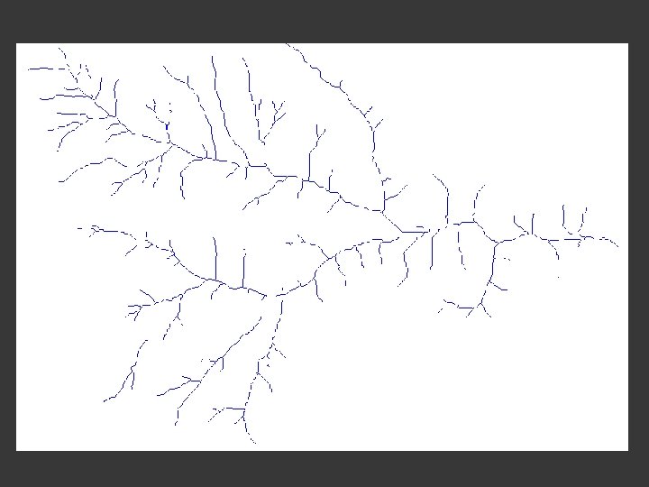
Line • Use an ordered set of coordinates to define location • Each line (and curve) is made up of multiple line segments • Occasionally, curved lines are represented mathematically • Starting point of a line is a node. • Intermediate point of a line is a vertex. • Attributes may be attached to whole line, or node, or vertex • Ex: Road, pipeline, object outlines, powerline
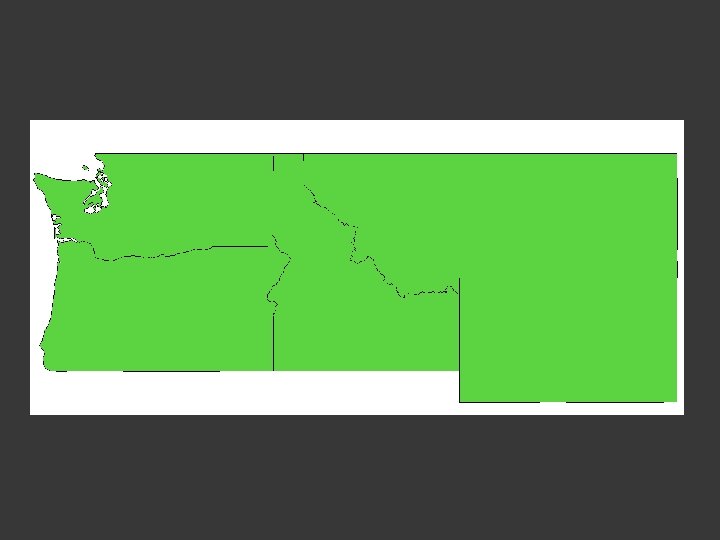
Polygon • Formed by a set of connected lines • Polygons must close. The start and end point must have the same coordinate, or the polygon must close to an adjacent feature • Polygons have an interior region • Attribute information is attached to the polygon • Ex: Lake, city, tree stand, political boundary