Spatial analysis for neighborhood accessibility GIS Water Resources

Spatial analysis for neighborhood accessibility GIS Water Resources Anna Okola

Background n Demographic data useful and necessary part of transportation analysis and planning n Transportation – service provision Accessibility n BTS - it is fundamentally concerned with the opportunity that an individual at a given location possesses to participate in a particular activity or set of activities

Demographic Profile

Demographic Profile
 n Texas State Data Center n")
Data Sources n City of Austin (ftp site) n Texas State Data Center n Texas Department on Aging n Texas Department of Health

2000 Census Data

1990 Census Data

2000 Density, Sub-groups

Land Use Patterns n Austin is a ‘residential’ city – almost 50% of developed land n 5% commercial & office space combined n 5% industrial n In 1990, about 80% of Austin was undeveloped, while 57% of developed land was residential. n Increase in industrial sector (1990 -

2000 City Land Use Survey

City Population Density, ’ 90, ‘ 00

Access to Health Facilities NURSING HOME EMS H HOSPITAL H HEALTH CLINIC

Dynamic Query in GIS

Availability of Sidewalks

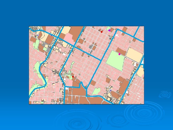
Neighborhood Study

North University Neighborhood

Methodologies n Handy, n three methods for analysis n Cumulative opportunities n Gravity based models n Random utility theory Result - accessibility index

Summary n Presented visual respresentation of demographic data n Use of GIS for inventory purposes, to capture resource gaps n Future work - to include zone specific data to enable detailed analysis Questions ?
- Slides: 19