Software Services for Mosquito Control Chad Minteer Mobile

Software & Services for Mosquito Control Chad Minteer Mobile GIS Solutions Manager

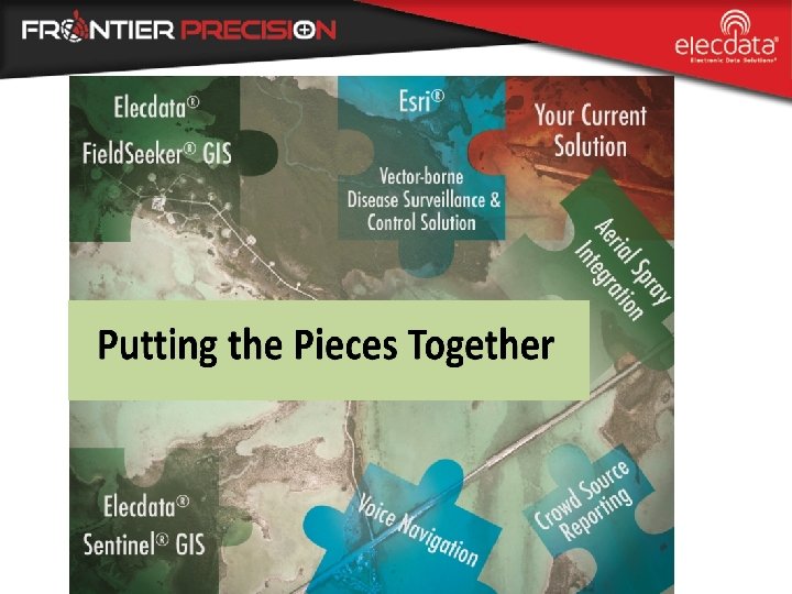
Fighting Vector-borne Disease Putting the Pieces Together with Geospatial Solutions – What our new company means to you – Products & services for increased productivity, no matter which pieces you have

Elecdata is Now Frontier • Acquisition, July 1, 2016 • Larger, focused company – Frontier, survey – Elecdata, GIS • GIS Solutions – International coverage • Solutions provider • Software development • GIS professional services Frontier Precision, Inc. 10 offices with 51 employees

What our New Company Means to You Business as usual, with additional staff – Mosquito Control Solutions and GIS Professional Services now one team – Linda Glover, mosquito software sales – Chad Minteer, mosquito software product management/support Linda Glover GIS Sales Chad Minteer GIS Support Alison Walker GIS Services Cliff Askew GIS Support Karissa Giles Roger Schulz GIS Services GIS Support Chase Fly UAS Services

What our New Company Means to You • Our partners are still the same – – Exclusive Representative • Mosquito Control Software, U. S. – Esri Gold Partner – Juniper Systems Rugged Field Computers – Trimble Geospatial

Based on Esri Arc. GIS for Server Based on Esri Arc. GIS for Desktop • Esri-based Solutions • Larviciding • Adulticiding • Surveillance • Service Requests • Mobile Data Collection • i. OS • Windows & Windows Mobile • Aerial Spray Systems • Reporting and sharing of data

What’s New – Coming Q 1 2017 New Windows ULV Extension – Upgrade for Sentinel®, Field. Seeker®, or Data. Master® II Adulticiding – Standalone • Open GIS, doesn’t rely on Arc. Pad or Arc. GIS • Esri Arc. GIS (Sentinel & Field. Seeker) compatibility – Built for Windows 10 field devices – Collect spray sessions: • Clarke Smart. Flow • Curtis Dyna. Fog • • London Fogger Target/B & G Phoenix – Draw in treatment areas for backpack/other sprayers with no data output

Juniper Mesa 2 Windows 10 Optional serial port Reliable GNSS in truck cab IP-68 rated 7” Active Viewing Area 8 – 10 hour battery, field changeable • 2 year warranty • • •

Let us help you get the most out of your workflow: No matter what you are currently using – Discovery of GIS uses – Long-term planning – Jump Start/Training – Data services – Web, cloud and enterprise services – Specialization in mobilizing field crews

Geospatial Value Plan Get the Most from your GIS Investment • Prepaid Service Credits – Planning, implementation, configurations, software customizations, support and training • Allows you to budget yet gives flexibility as project evolves • Technical Advisor helps execute project plan – Drives long-term vision and commitment • Access to experienced Frontier personnel

Geospatial Value Plan • Customer Examples – Implementation of Esri Local Government Information Model • Facilitates rollout of maps and apps – Incorporate forms for other applications • Other vector inspections, storm water pond inspections, and dry weather screening – Communicate effectively with stakeholders • Operations dashboards • Public web service request • Activity status web maps – UAS Services

How to Get Started? • Modules – Scalable to fit different operational and budget requirements • Standalone Windows ULV Extension • Field. Seeker or Sentinel GIS Workflows – Server or desktop? -- Which Mobile devices? – Adulticiding with Larviciding, Surveillance, Service Request? • Geospatial Value Plan – Customize Esri Platform, Field. Seeker/Sentinel – Let us help you with some of the work

Summary Leverage our 30 years of experience mobilizing field crews and managing high volumes of data. We’ll help you put the pieces together… all for healthier communities
 324 -8006 Chad Minteer Mobile GIS Solutions Manager chad@frontierprecision.")
Questions? www. frontierprecision. com (208) 324 -8006 Chad Minteer Mobile GIS Solutions Manager chad@frontierprecision. com Linda Glover GIS Sales & Services Manager linda@frontierprecision. com Thank you for your part in keeping our communities healthy
- Slides: 15