Socials 10 Mrs Gerber Political Maps A political

Socials 10 Mrs. Gerber

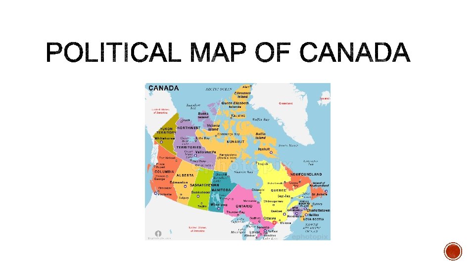
Political Maps § A political map is designed to show the governmental boundaries of a country. § In Canada, a political map would indicate provinces and territories. § They also indicate the location of major cities. § And indicate significant bodies of waters.
")
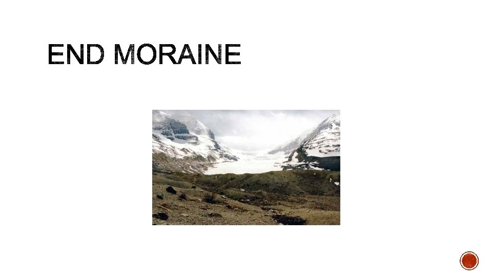
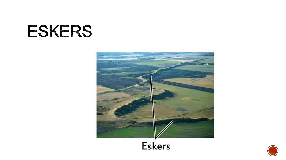
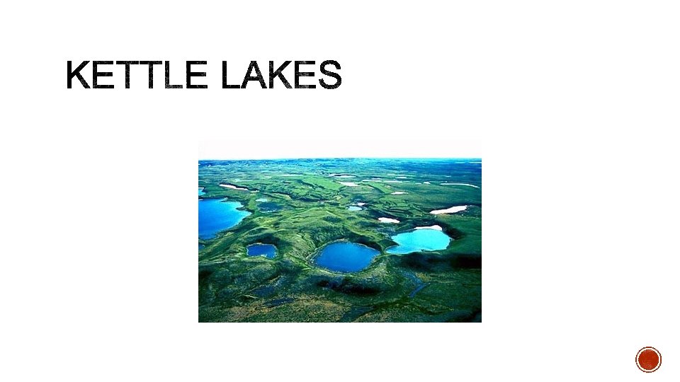
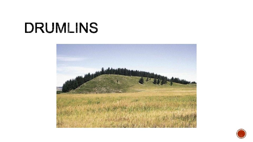
§ Canada is the second largest country in the world (space wise, not population) § It is slightly smaller than all of Europe which is made up of 45 countries. § Canada is 4, 800 kilometres from north to south and 5, 000 kilometres from west to east. § It only borders 1 country, the United States. § 90% of Canada is too cold for agriculture to take place. § The physical make up of Canada is the result of geologic developments: § The landscape of Canada was also affected by glaciation and was under a thick sheet of ice -a glacier. § Almost all of Canada was under ice a sometime during the last 1. 5 million years. Now only 1% is under ice. § As a result, we’ve been left with some pretty interesting geography!

Those who study physical geography look at: § Geology-process, structure, time § Topography-relief, slope § Soils-texture, p. H, organic matter § Vegetation-water, arboreal, ecotone § Climate-air mass, current, precipitation, temperature, system
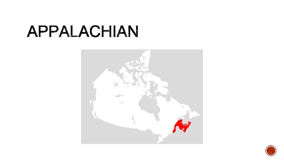

§ How was it formed? § Mountains range worn down § rolling hills and fjords today § What resources does it have? § Fisheries § Coal and minerals § Other important information: § Ports developed and important for fishing and trade (past and today) § John Cabot and the Grand Banks
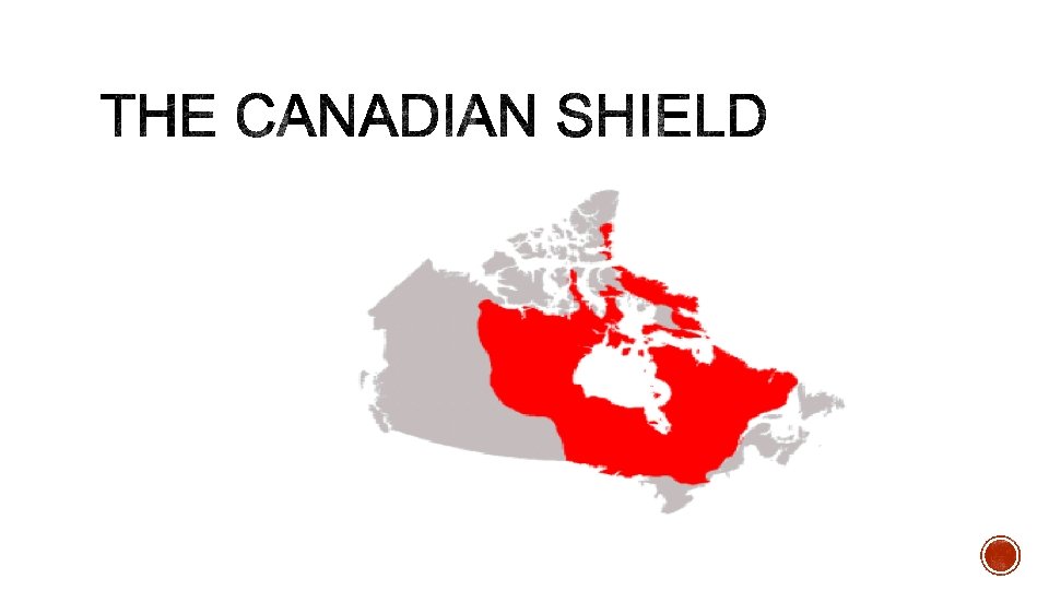

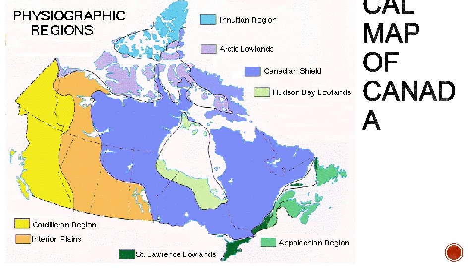
§ How was it formed? § Volcanic mountains eroded § Today = flat, bare rock, lakes and wetlands § What resources does it have? § Rich mining resources (copper, gold, lead, diamonds), but poor agriculture § Hydroelectricity § Other important information: § Largest region (half of Canada) § Rivers an important part of the fur trade
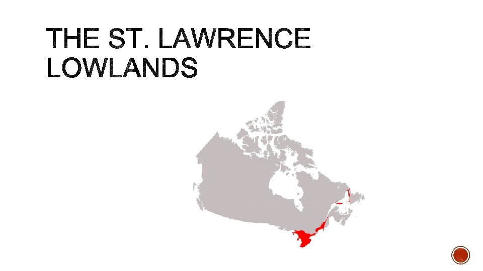

§ How was it formed? § Retreating ice sheets left well drained soil and great lakes behind § Flat with rolling hills today § What resources does it have? § Agriculture (orchards and vineyards) § Other important information: § Many first nations and European settlements here § Smallest region, but has half of Canada’s population!
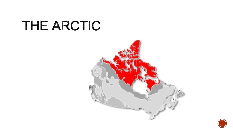

§ How was it formed? § Rocks pushed together to form mountains § eroded to flat tundra § What resources does it have? § Remote location limits mining, but oil, natural gas, and diamond mining § Other important information: § Sea ice melting = more open water § Diamond mining has become largest industry
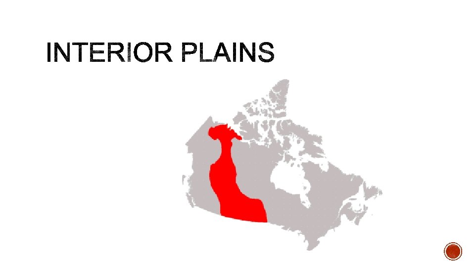

§ How was it formed? § Soils carried by rivers in the Canadian Shield were deposited § Flat lands (prairie) and rolling hills § What resources does it have? § Oil and natural gas § Agriculture and livestock § Other important information: § Bison were close to extinction after Europeans started settling the area § Many fossils in this area
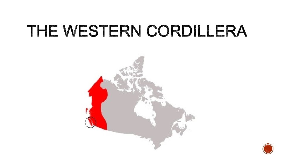

§ How was it formed? § Plate collision caused volcanic mountains § Youngest mountains = jagged and rocky § What resources does it have? § Copper, gold, coal § Forestry § Other important information: § Fraser River puts rich minerals into the soil § Mining brought many people to the area during the gold rush
")
§ In Canada the wind generally blows East (causing colder temperatures in that direction) § Example: West Coast has a milder temperature in the winter because of warm winds

§ Higher altitude = lower temperature § Example: Rocky Mountains have snow – even in the summer
= lower temperature (sun is less intense) §")
§ Higher latitude (further from the equator)= lower temperature (sun is less intense) § Example: Barbados vs. Canada

§ Land heats and cools more quickly than water = more extreme temperatures inland § Example: Prairies very hot in the summer and very cold in the winter – Vancouver is more temperate

§ Can be warm or cold and can heat the air § Example: West Coast has a warm current and a warmer climate – Maritimes has a cold current = harsher winters.
- Slides: 28