Social Studies Daily Drills By Shantel S Paul

Social Studies Daily Drills By Shantel S. Paul Trained Teacher

17 Major Islands of The Bahamas • Abaco • Acklins • Andros • Berry Islands • Bimini • Cat Island • Crooked Island • Eleuthera • Exuma and Cays • Grand Bahama • Inagua • Long Island • Mayaguana • New Providence (capital, Nassau is located) • Ragged Island • Rum Cay • San Salvador

Islands and Main Town/Settlement • • • Marsh Harbour, Abaco Spring Point, Acklins Nicholl's Town, Andros Great Harbour Cay, Berry Islands Alice Town, Bimini Arthur's Town, Cat Island Colonel Hill, Crooked Island Governor's Harbour, Eleuthera George Town, Exuma and Cays • • West End. Grand Bahama Matthew Town, Inagua Clarence Town, Long Island Abraham's Bay, Mayaguana Nassau, New Providence Duncan Town, Ragged Island Port Nelson, Rum Cay Cockburn Town, San Salvador

Island Locations by Directional Sections • To remember the islands by sections repeat the magic words: 755 GABBANE, CERLS, CARIM! • • Northwestern Grand Bahama Abaco Bimini Berry Island Andros New Providence Eleuthera Central Cat Island Exuma Rum Cay Long Island San Salvador Southeastern Crooked Island Acklins Ragged Island Inagua Mayaguana

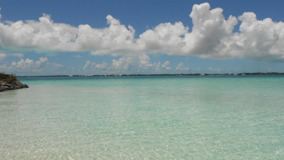
Quick Facts about The Bahamas • The Bahamas is located in the northern and western hemispheres. • It is classified as a part of the continent of North America. • The Bahamas is surrounded by the Atlantic Ocean. • The Bahamas is an archipelago that is made up of over 700 flat, limestone islands, cays and islets (rocks). • The islands lie in a northwestern to southeastern direction and are separated into three sections (northwestern, central, and southeastern) according to vegetation and weather. • Abaco is the most northern island Inagua is the most southern. • Bimini is the most westerly island Mayaguana is the most western. • The Tropic of Cancer passes through Long Island Exuma. • The Bahamas is located in the subtropical climate zone.

Using the Compass Rose • The 8 point compass • North, South, East and West are main cardinal points • NW is between N and W • NE is between N and E • SW is between S and W • SE is between S and E

Measuring Distances- Using the Scale

Using Grid Square Location

Government and Industry • The capital city of The Bahamas is Nassau. • The government of The Bahamas is a constitutional democracy and our leader is the Prime Minister. • The Governor General is the Queen's representative. • The Bahamas is a member of The Commonwealth of Nations-CHOGM, CARICOM and other regional and international organizations. • • The main industry is Tourism. Banking is second. The currency is the Bahamian dollar. The official language is English. Population of 360, 832 (2010 census).

RESOURCES • School Atlas for The Commonwealth of The Bahamas Hodder • Slide Design- Shantel Paul- Gallery Picture • https: //www. toppersbulletin. com/images/6 social-science/geo 16. png
- Slides: 11