SILVERLIGHT GIS GEOGRAPHIC INFORMATION SYSTEM Al Pascual Whats
 Al Pascual")


- Slides: 12
SILVERLIGHT GIS (GEOGRAPHIC INFORMATION SYSTEM) Al Pascual
What’s GIS? GIS allows us to view, understand, question, interpret, and visualize data in many ways that reveal relationships, patterns, and trends in the form of maps, globes, reports, and charts. A GIS helps you answer questions and solve problems by looking at your data in a way that is quickly understood and easily shared. GIS technology can be integrated into any enterprise information system framework. Gis. com Visualize Understand Share
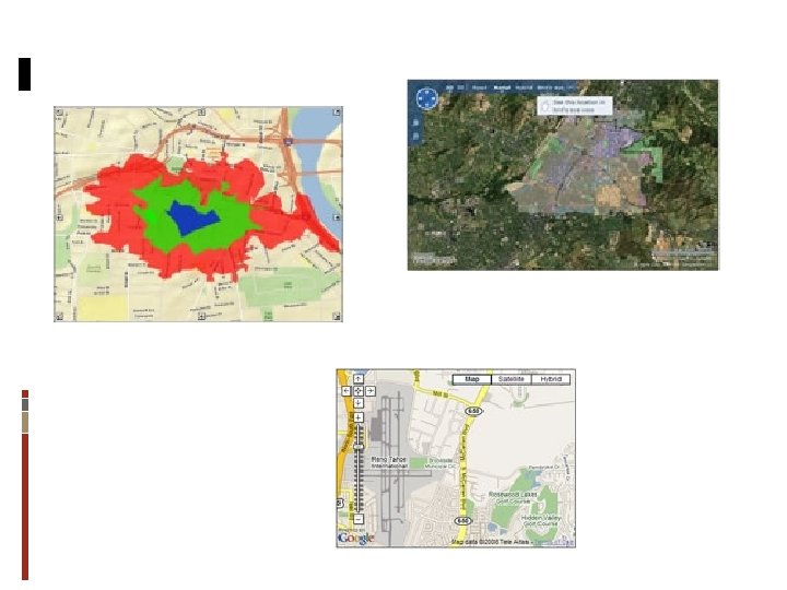
WHY MAPS?
Java. Script Develop custom Java. Script applications that mashup Arc. GIS services, Google Maps, and Bing Maps data. The Arc. GIS Java. Script APIs take full advantage of powerful mapping, geocoding, and geoprocessing services. Flex Develop rich internet applications with Arc. GIS services using the Flex framework. The API enables creating applications with intuitive, visually rich and responsive user interface. The Arc. GIS API for Flex takes full advantage of the powerful mapping, geocoding, and geoprocessing capabilities of Arc. GIS services. Silverlight/WPF Develop rich internet applications with Arc. GIS Server and Bing services using the Arc. GIS API for Microsoft Silverlight/WPF. The API enables you to create highly interactive, visually rich and expressive applications for both Web and desktop clients.
. NET Build applications with GIS capabilities using the. NET Web Application Developer Framework (. NET Web ADF). The. NET Web ADF is an AJAX-enabled framework for building Web applications built on ASP. Net AJAX. It includes both server side and client side controls and libraries. The client side Java. Script framework is built on MSAJAX. Java Build applications with GIS capabilities using the Java Web Application Developer Framework (Java Web ADF). The Java Web ADF is an AJAX-enabled framework for building Web applications built on JSF and Java EE. It includes server side controls and client side behavior accessible via Java. Script libraries. Share. Point ESRI Parts for Microsoft Share. Point provides a set of interactive and configurable mapping components for use with existing Microsoft Share. Point sites. The components, or parts, enable you to display and interact with Arc. GIS Server map and attribute data, Bing imagery and services, and location information in Share. Point lists.
Locator Routing Geoprocessing Analyze Tasks Geometry Editing Publishing Geotagging Presentation Navigation Symbolyzing Sharing Consuming Geolocation
http: //serverapps. esri. com/silverlightdemos/showcase/ http: //maps. esri. com/Police/Default. aspx http: //serverapps. esri. com/Silverlight. Demos/Print. Map. Applicat ion. Web/ Twitter Demos
<esri: Map x: Name="My. Map" > <esri: Arc. GISTiled. Map. Service. Layer ID="Street. Map. Layer" Url="http: //server. arcgisonline. com/Arc. GIS/rest/se rvices/ESRI_Street. Map_World_2 D/Map. Server"/> </esri: Map>
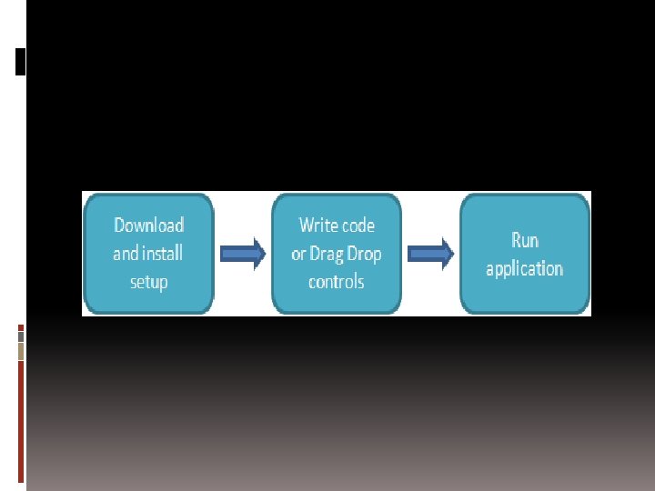
LET’S WRITE SOME CODE Silverlight code that is…
THANK YOU alpascual@gmail. com