Seasonal Changes in Sea Ice Area Earths Cryosphere


- Slides: 12

Seasonal Changes in Sea Ice Area

Earth’s Cryosphere consists of all forms of water in the solid state and includes: Sea Ice Lake Ice Snow Glaciers Ice Cap Sheet Ice Permafrost Ice in Clouds

Graphs Reveal Seasonal Patterns of Changes in Sea Ice Half of you will interpret a graph for the Southern Hemisphere. Half of you will interpret a graph for the Northern Hemisphere. Note: Later this week, you will actually make sea ice.

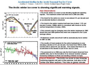
The Northern Hemisphere group will interpret this graph. http: //arctic. atmos. uiuc. edu/cryosphere/

The Southern Hemisphere group will interpret this graph.

When was the maximum of sea ice area for the entire Earth during the 365 day period?

Maximums and minimums of the sea ice area graphs correspond closely with the changes in “Astronomical“ seasons in both Hemispheres. http: //okfirst. mesonet. org/train/meteorology/Seasons. html

Why would the sea ice minimum occur around the time of a Fall Equinox rather than around the time of a Summer Solstice?

What are some additional questions that could be posed that relate to the sea ice area graphs?

Research Activities • Use images from web sites to monitor snow cover and sea ice in the Polar Regions and at lower latitudes during the school year. • Use archives on web sites to compare the present accumulation of sea ice and snow with past years and with “normal” years.

The Cryosphere Today’s web site can be used to compare the extent of sea ice and snow cover on the same date in different years. (The color scale applies only to the extent of sea ice. ) http: //igloo. atmos. uiuc. edu/cgi-bin/test/print. sh? fm=11&fd=15&fy=2008&sm=02&sd=15&sy=2009

One More Question How do scientists obtain the data necessary to construct the graphs that you interpreted today?
