
Search and Rescue Satellite Aided Tracking SARSAT Distress







- Slides: 19
Search and Rescue Satellite. Aided Tracking (SARSAT) Distress Alerting Satellite System (DASS) Oct 2008
COSPAS-SARSAT The Cospas-Sarsat Program protects life and property by providing accurate, timely, and reliable distress alert and location information to search and rescue authorities. COSPAS = Cosmicheskaya Systyema Poiska Aariynyich Sudov Which loosely translates into: “The Space System for the Search of Vessels in Distress” SARSAT = Search And Rescue Satellite Aided Tracking
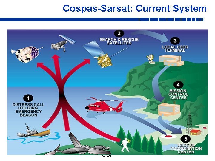
Cospas-Sarsat: Current System Oct 2008
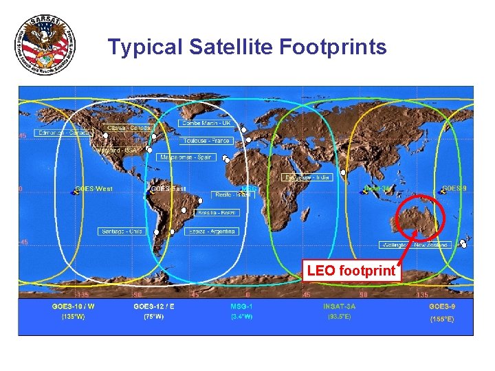
Cospas-Sarsat Space Segment 2 Types of Satellites: • Low Earth Orbiting Search And Rescue (LEOSAR)- 5 on Orbit - Altitude: 500 miles in “Pole-Pole” orbit - Performs Doppler locating function (primary means of locating…not GPS) - Stores & Forwards alerts continuously for 48 hours (provides worldwide coverage and total system redundancy) • Geostationary Orbiting Search And Rescue (GEOSAR)- 4 on Orbit - Altitude: 23, 000 miles in fixed orbit - Performs instantaneous alerting function. No locating capability unless beacon is equipped with GPS. - Coverage from 70 N – 70 S
Typical Satellite Footprints LEO footprint
LEOLUTS and GEOLUTS (Cospas-Sarsat Ground Stations) LEOSAR Local User Terminals (LEOLUT) • Track COSPAS and SARSAT satellites (POES & METOP) • Recover beacon signals • Perform error checking • Perform Doppler processing • Send alert to Mission Control Center GEOSAR Local User Terminals (GEOLUT) • Track GOES, MSG, & INSAT satellites • Recover beacon signals • Perform error checking • Send alert to Mission Control Center
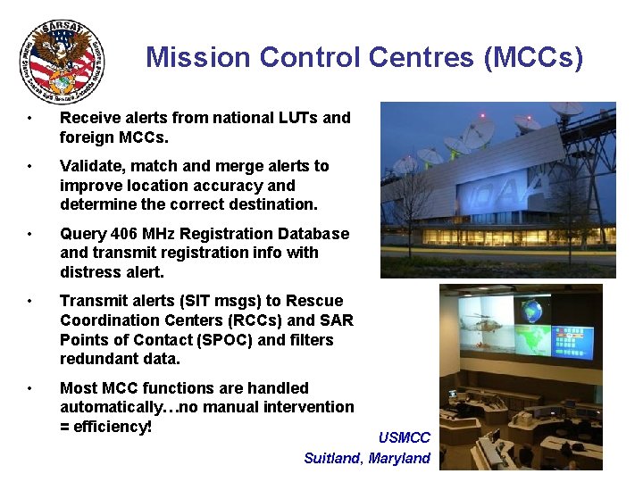
Mission Control Centres (MCCs) • Receive alerts from national LUTs and foreign MCCs. • Validate, match and merge alerts to improve location accuracy and determine the correct destination. • Query 406 MHz Registration Database and transmit registration info with distress alert. • Transmit alerts (SIT msgs) to Rescue Coordination Centers (RCCs) and SAR Points of Contact (SPOC) and filters redundant data. • Most MCC functions are handled automatically…no manual intervention = efficiency! USMCC Suitland, Maryland
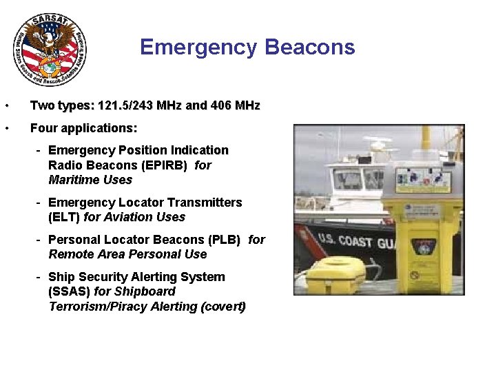
Emergency Beacons • Two types: 121. 5/243 MHz and 406 MHz • Four applications: - Emergency Position Indication Radio Beacons (EPIRB) for Maritime Uses - Emergency Locator Transmitters (ELT) for Aviation Uses - Personal Locator Beacons (PLB) for Remote Area Personal Use - Ship Security Alerting System (SSAS) for Shipboard Terrorism/Piracy Alerting (covert)
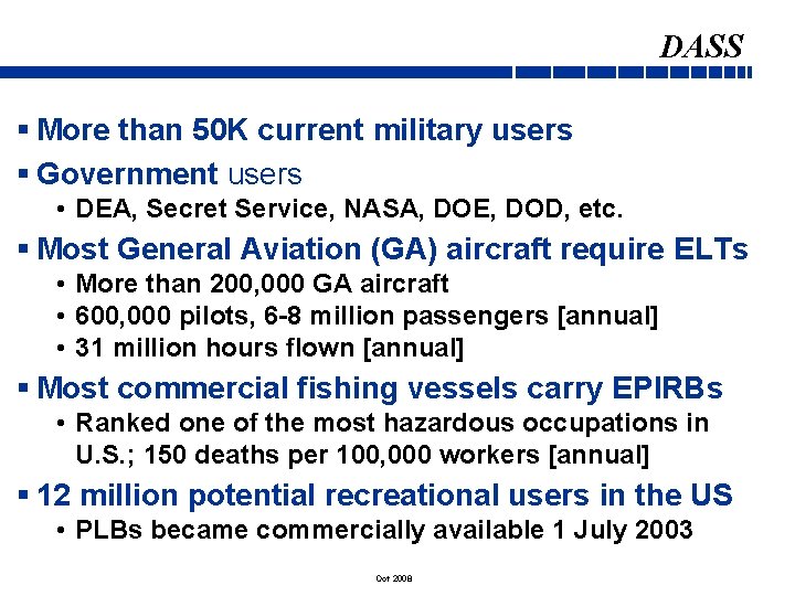
DASS § More than 50 K current military users § Government users • DEA, Secret Service, NASA, DOE, DOD, etc. § Most General Aviation (GA) aircraft require ELTs • More than 200, 000 GA aircraft • 600, 000 pilots, 6 -8 million passengers [annual] • 31 million hours flown [annual] § Most commercial fishing vessels carry EPIRBs • Ranked one of the most hazardous occupations in U. S. ; 150 deaths per 100, 000 workers [annual] § 12 million potential recreational users in the US • PLBs became commercially available 1 July 2003 Oct 2008
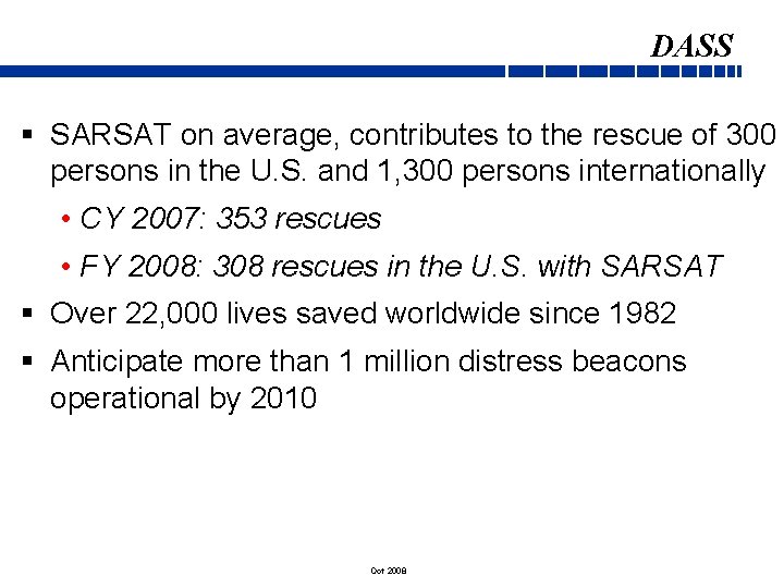
DASS § SARSAT on average, contributes to the rescue of 300 persons in the U. S. and 1, 300 persons internationally • CY 2007: 353 rescues • FY 2008: 308 rescues in the U. S. with SARSAT § Over 22, 000 lives saved worldwide since 1982 § Anticipate more than 1 million distress beacons operational by 2010 Oct 2008
Termination of 121. 5/243 MHz Satellite Alerting v International Termination of 121. 5/243 MHz Satellite Alerting Occurs On: February 1, 2009 v U. S. Termination of 121. 5 MHz EPIRBs - 3 Phases • Certification of new 121. 5 EPIRBs ceased in 1999 • Sales and manufacture of 121. 5 MHz EPIRBs ceased on February 1, 2003 • Operation/Use of 121. 5 MHz EPIRBs became prohibited on January 1, 2007 v 121. 5 MHz ELTs will still be in use on general aviation aircraft after 2009…Challenge, voluntary transition by pilots ASAP! Oct 2008
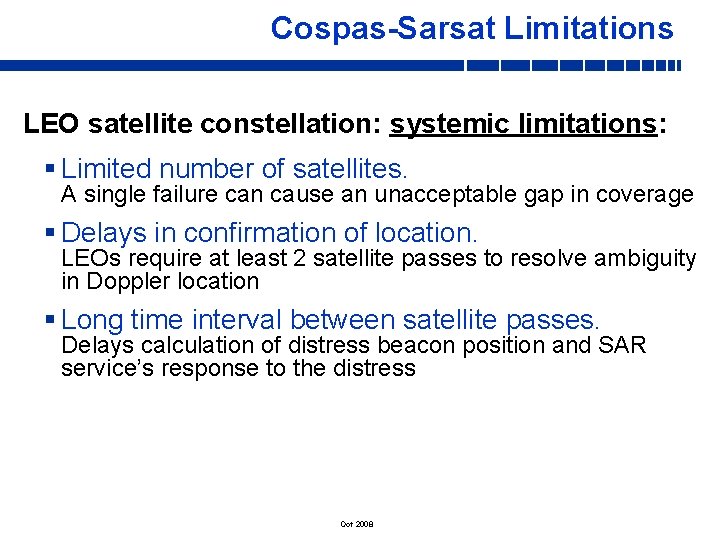
Cospas-Sarsat Limitations LEO satellite constellation: systemic limitations: § Limited number of satellites. A single failure can cause an unacceptable gap in coverage § Delays in confirmation of location. LEOs require at least 2 satellite passes to resolve ambiguity in Doppler location § Long time interval between satellite passes. Delays calculation of distress beacon position and SAR service’s response to the distress Oct 2008
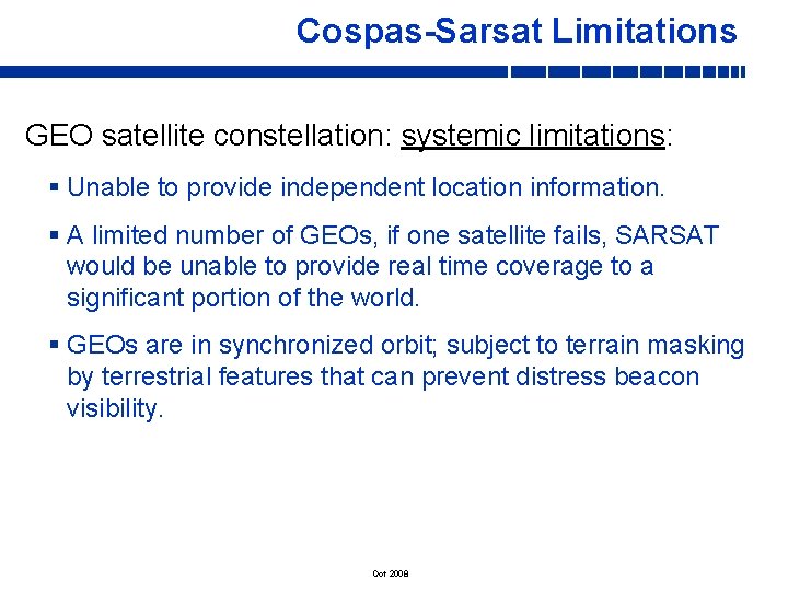
Cospas-Sarsat Limitations GEO satellite constellation: systemic limitations: § Unable to provide independent location information. § A limited number of GEOs, if one satellite fails, SARSAT would be unable to provide real time coverage to a significant portion of the world. § GEOs are in synchronized orbit; subject to terrain masking by terrestrial features that can prevent distress beacon visibility. Oct 2008
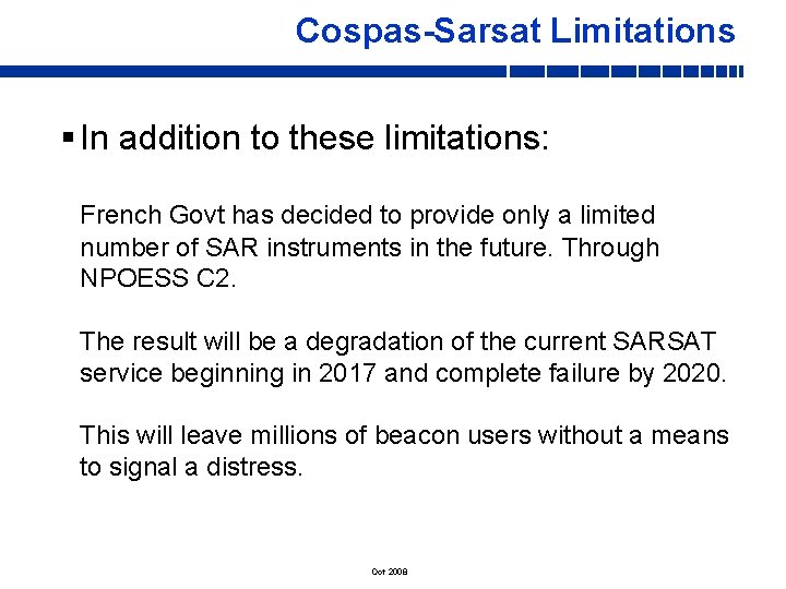
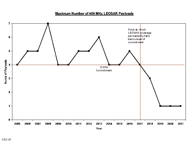
Cospas-Sarsat Limitations § In addition to these limitations: French Govt has decided to provide only a limited number of SAR instruments in the future. Through NPOESS C 2. The result will be a degradation of the current SARSAT service beginning in 2017 and complete failure by 2020. This will leave millions of beacon users without a means to signal a distress. Oct 2008
Point at which LEOSAR coverage permanently falls below level of commitment ICSPA Commitment CSC-41
Cospas-Sarsat of Tomorrow: Distress Alerting Satellite System (DASS) MEOLUT Mission Control Center CSC-41 Rescue Coordination Center
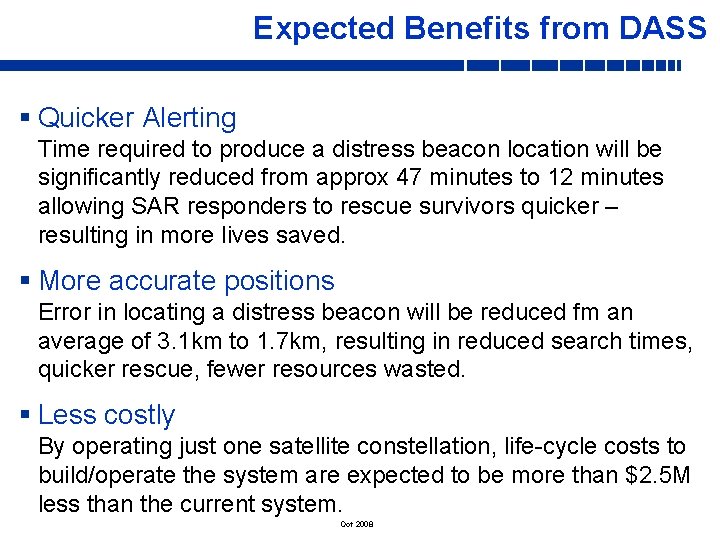
Expected Benefits from DASS § Quicker Alerting Time required to produce a distress beacon location will be significantly reduced from approx 47 minutes to 12 minutes allowing SAR responders to rescue survivors quicker – resulting in more lives saved. § More accurate positions Error in locating a distress beacon will be reduced fm an average of 3. 1 km to 1. 7 km, resulting in reduced search times, quicker rescue, fewer resources wasted. § Less costly By operating just one satellite constellation, life-cycle costs to build/operate the system are expected to be more than $2. 5 M less than the current system. Oct 2008
Expected Benefits from DASS § Free from terrain masking GPS satellites will be in non-synchronous orbit in relation to the Earth; satellite beacon detection will occur fm continually changes angles. As a result, terrain masking will be eliminated. § High levels of space and ground segment redundancy and availability Oct 2008
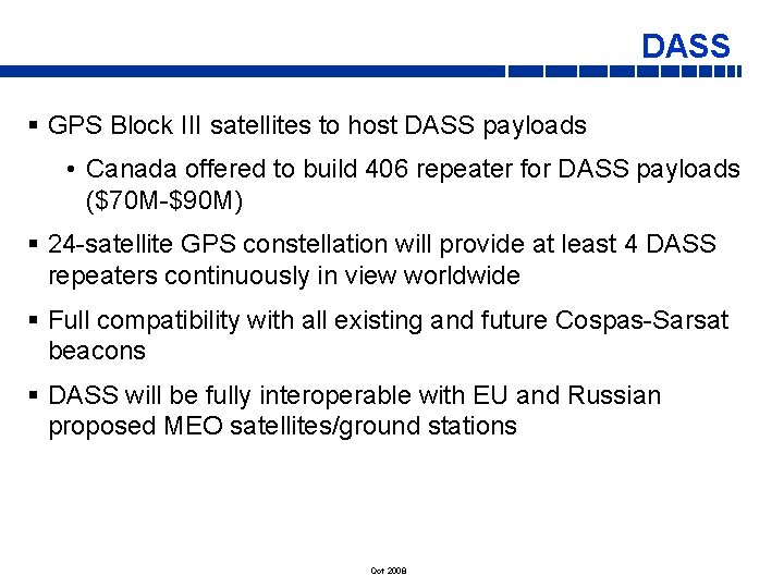
DASS § GPS Block III satellites to host DASS payloads • Canada offered to build 406 repeater for DASS payloads ($70 M-$90 M) § 24 -satellite GPS constellation will provide at least 4 DASS repeaters continuously in view worldwide § Full compatibility with all existing and future Cospas-Sarsat beacons § DASS will be fully interoperable with EU and Russian proposed MEO satellites/ground stations Oct 2008