Scanning Hydrographic Operational Airborne Lidar Survey SHOALS System
 System Nick Kellerman")
Scanning Hydrographic Operational Airborne Lidar Survey (SHOALS) System Nick Kellerman

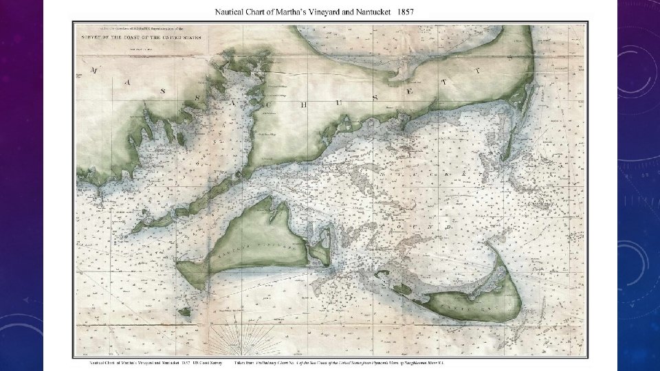
Hydrography • Branch of applied sciences that deals with the measurement and description of the physical features of the oceans, seas, coastal areas, lakes, and rivers, as well as with the prediction of their change over time, primarily for the purpose of safety in nautical navigation, and in support of all other maritime activities • Initial motivation behind this branch of study was to provide nautical charts for both civilian and militaristic purposes (before transoceanic exploration), in the form of hydrographic surveys • Hydrographic surveys placed strong emphasis on charting shorelines and depth sounding for bathymetry

Bathymetry • Study of underwater depth of oceans & lake floors • Bathymetric measurement methods: • Sounding line • Acoustic (sonar) sounding • LIDAR sounding • Measurements used to produce nautical maps, track changes to bodies of water, aid in natural disasters

Old School Bathymetry: Sounding line

Ye Olde Depth Sounding • “Sounding” refers to the act of measuring depth • Used a long length of rope, with measurement intervals demarcated by tied “marks”, and with a lead plummet at the end to keep it on the sea floor • These early bathymetric measurements were used to produce crude nautical charts with depths and provide information on the seabed material • Typical measurement units in fathoms • 1 fathom = 6 feet
 • • Typical echo sounder operation")
Sonar Bathymetry (also referred to as echo sounding) • • Typical echo sounder operation frequencies range from 10’s k. Hz to 100’s of k. Hz • Low end for deeper water (less attenuation)
) •")
LIDAR Bathymetry (also referred to as Airborne LIDAR Bathymetry (ALB)) •


Sonar Vs LIDAR Bathymetry • Acoustic energy in water is not attenuated nearly as much as light energy in water ü Sonar for deep-water • Acoustic sounding is conducted by way of ships that travel relatively slow, and require many pass throughs to produce large portions of data ü LIDAR for higher cost efficiency & large survey areas • Low visibility weather conditions (fog, rain) cause large scattering of LIDAR signals ü Sonar measurements aren’t directly impacted by weather above surface
 System • Developed by the US Army")
Scanning Hydrographic Operational Airborne LIDAR Survey (SHOALS) System • Developed by the US Army Corps of Engineers and deployed in 1994 (last documented survey in early 2000) • Used primarily in mapping near shore regions (Hawaiian Islands, Coastal Florida, several areas along east coast, Caribbean Sea & Great Lakes) • Used in over 230 surveys • Consists of two sub-systems: Airborne (LIDAR Transceiver) & Ground (Data Processing)

SHOALS: Airborne System • A 3 -m long, 270 kg pod houses a laser transceiver, laser optics, inertial reference system, and video camera • The pod was mounted on either a Bell 212 helicopter or a Twin Otter DHC-6 airplane Twin Otter Bell 212

SHOALS: Scanning • The scanner was designed to sweep the laser beam across the aircraft track • Nominal scan rate of 3 Hz, scan width of roughly 140 meters (at an altitude of 200 m) • At 50 knots (25. 7 m/s) a sounding spacing of 5 meters between each laser shot was achieved

SHOALS: Transceiver • • The transmitter was a 200 Hz Nd: YAG (neodymium-doped yttrium aluminum garnet) • Transmitted infrared (1064 nm) at 5 m. J, approximately 6 ns pulse width • Transmitted blue-green (532 nm) at 5 m. J, approximately 7 ns pulse width The receiver included a 20 cm catadioptric Cassegrain telescope, and 4 avalanche photodiode detectors used to produce a detectable signal • Two to record the infrared energy (reflected from the surface and also to determine whether capture was from water or land) • One to collect the blue-green energy (reflected from the bottom) • One to collect Raman energy (results from excitation of water molecules by the 532 nm energy at the surface)

Preliminary Scanning Analysis •

SHOALS: Future Analysis • Maximum depth measurements possible • Physics behind choice of blue-green & infrared • Ground range resolution • Accuracy of measurements
 • Depth")
References • • Sounding: • Depth - O'Neill Sea Odyssey (oneillseaodyssey. org) • Depth sounding – Wikipedia Echo Bathmetry • Echo sounding – Wikipedia • Thop 00 (mbari. org) LIDAR: • Lidar – Wikipedia • lidar-101. pdf (noaa. gov) • FM 1. . 14 (spie. org) • Lidar Technology Overview (noaa. gov) LIDAR Bathymetry • • Mapping River Bathymetry With a Small Footprint Green Li. DAR: Applications and Challenges 1 - Kinzel - 2013 - JAWRA Journal of the American Water Resources Association - Wiley Online Library SHOALS • a 495178. pdf (dtic. mil) • Scanning laser mapping of the coastal zone: the SHOALS system – Science. Direct • Advancements in the U. S. Army Corps of Engineers Hydrographic Survey Capabilities: The SHOALS System (dtic. mil) • Nd: YAG laser – Wikipedia • 1003834. pdf (dtic. mil)
- Slides: 17