Satellite observations of atmospheric methane and their value

Satellite observations of atmospheric methane and their value for quantifying methane emissions Jacob, D. J. , A. J. Turner, J. D. Maasakkers, J. Sheng, K. Sun, X. Liu, K. Chance, I. Aben, J. Mc. Keever, and C. Frankenberg, Atmos. Chem. Phys. , 16, 4371 -4396, doi: 10. 5194/acp-16 -14371 -2016, 2016.
 Thermal emission (TIR) Lidar (SWIR) SWIR methane")
Observing methane from space Solar backscatter (SWIR) Thermal emission (TIR) Lidar (SWIR) SWIR methane absorption bands • 1. 65 µm allows “proxy method” from combined CO 2 retrieval • 2. 3 µm allows CO retrieval 1. 6 1. 8 2. 0 2. 2 Wavelength [µm] 2. 4

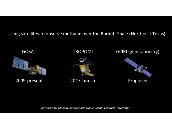
Solar back-scatter instruments for observing methane from space Instrument Agency Data period Pixel size Return time [km 2] Band Precision [µm] Past/present SCIAMACHY ESA 2003 -2012 30 60 6 days 1. 65 GOSAT JAXA 200910 10 3 days (sparse) 1. 65 GHGSat, Inc. 20160. 05 x 0. 05 targets 1. 65 1. 5 % 0. 6 % 1 -10% Future TROPOMI GOSAT-2 geo. CARB ESA JAXA NASA 20172018 selected 7 7 10 x 10 4 5 1 day 2. 3 3 days (sparse) both 2 hours 2. 3 0. 6% 0. 3% 1. 0% Proposed Carbon. Sat Geo. FTS G 3 E CHRONOS ESA NASA proposed 2 2 3 x 3 2 x 3 4 x 4 5 -10 days 2 hours 1 hour 0. 4% 0. 2% 0. 5% 1. 0% 1. 65 both 2. 3

Methane observations from SCIAMACHY and GOSAT Dry column average mixing ratio XCH 4

New gridded version of EPA US methane inventory Inventory with 0. 1 ox 0. 1 o monthly resolution and scale-dependent error characterization for use as prior estimate in inverse analyses 2012 Maasakkers et al. [2016]

Comparing EPA and EDGAR inventories for south-central US EDGAR v 4. 2 has large errors, compromising inverse analyses and their interpretation Maasakkers et al. [2016]

Detectability of regional and point sources of methane Instrument SCIAMACHY GOSAT TROPOMI GCIRI/geo. CARB GHGSat Averaging time required to quantify regional source (Q =72 tons h-1 over 300 km 2) Single-pass point source detection threshold [tons h-1] 1 year Single pass (1 day) Single pass (1 -2 hours) NA 68 7. 1 4. 2 4. 0 0. 25 Cumulative pdf of 10× 10 km 2 emission pixels across US Cumulative pdf of point sources reporting to GHGRP

Some recommendations for the future • Combine SWIR and TIR retrievals to resolve vertical distribution of methane - Improve detectability and data interpretation for the Arctic • Fly geostationary mission with staring sub-km capability over source regions - Detect point sources, “super-emitters”, cloudy wetlands • Improve global bottom-up inventories for inverse analyses - Improve quality and interpretation of inversions, top-down/bottom-up partnership • Develop combined satellite + suborbital observing systems for source regions - Suborbital perspective essential for monitoring multitude of point sources
- Slides: 9