Satellite Images Satellite Images n n Similar idea


- Slides: 11
Satellite Images
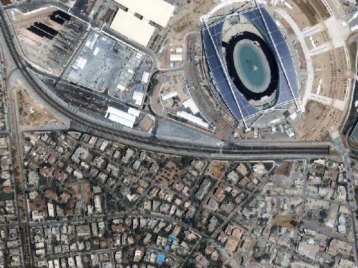
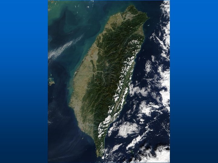
Satellite Images n n Similar idea as aerial photos Have some of the same uses • Basis for mapping • Image interpretation • Backdrop for map n …but there are some important differences…
How Satellite Images differ from Aerial Images n n Have spectral ranges beyond aerial film Very high perspective • Reduces terrain distortion n Cover large areas • High cost for small area coverage n n May require specialized image processing Image acquisition must be scheduled days or weeks in advance • Follow fixed flight schedules n Lower effective resolution
Basic Principles n Scanners on satellite operate by pointing detectors at area to be imaged • Instantaneous field of view (IFOV) – corresponds to size of area viewed by each detector n Scanner builds 2 D image of surface by recording reflected energy
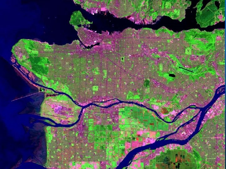
Ikonos n n n High-resolution Launched September 1999 1 -meter panchromatic infrared 4 -meter visible/infrared 13 kilometer swath Revisit times 1 -3 days
Landsat n n n Launched July 1972 First system designed to gather data about Earth’s land surface Three imaging scanners onboard • Video camera • Multispectral scanner • Thematic Mapper • Enhanced Thematic Mapper n Revisit time 16 -18 days
MODIS n n n Collects data at range of wavelengths from visible through thermal infrared Resolution between 250 meters and 1 kilometer Revisit time 1 -2 days at 1 kilometer resolution
Which to use? Satellite or Aerial? n Take the following factors into account • Spatial resolution required • Size of analysis area • Price • Time constraints • Post processing n Mosaicing of Aerials • Spectral requirements • Digital vs Film format