
SAF NWC CLOUD PRODUCTS USER EXPERIENCES AND RESULTS

- Slides: 45
SAF NWC CLOUD PRODUCTS USER EXPERIENCES AND RESULTS FROM EVALUATION 2003 -2005 By Pia Hultgren SWEDEN
Evaluation of SAF NWC PPS • • • Objectives Background Method Results Exemples Conclusions Experiences using SAF NWC PPS/MSG in Nowcasting • • Background Exemple Concluding remarks Way foreward
OBJECTIVES • To get a qualitative assessment from the meteorologists that use the products. • To find any systematic faults and typical problems. • To awaken an interest for the new products.
BACKGROUND • SMHI participating in SAF NWC, responcible for the products: - Cloud Mask (CM) - Cloud Type (CT) - Cloud Top Temperature and Height (CTTH) - Precipitating Clouds (PC) • Products available from autumn 2002 • Evaluation from winter 2003 2004
METHOD • Meteorologists from three sites in Sweden (Frösön, Luleå and Linköping) participated • Area SSWE (South Sweden) and NSWE (North Sweden) has been eveluated • Comparisons with SYNOP, radar, radiosoundings, IR and VIS channels, SCANDIA, AMDAR and QBC from aeroplanes. • 90 cases
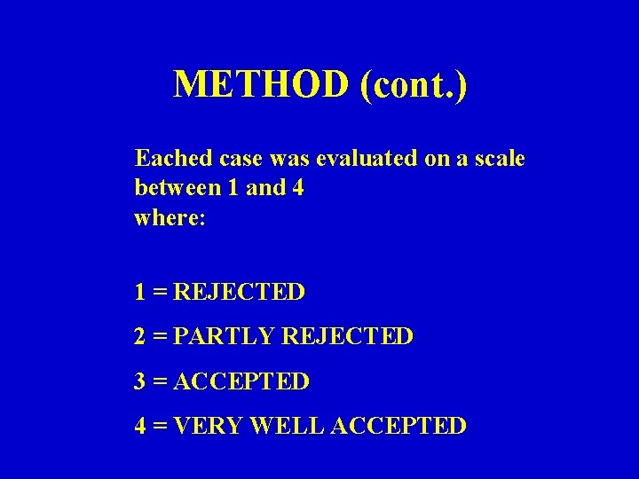
METHOD (cont. ) Eached case was evaluated on a scale between 1 and 4 where: 1 = REJECTED 2 = PARTLY REJECTED 3 = ACCEPTED 4 = VERY WELL ACCEPTED
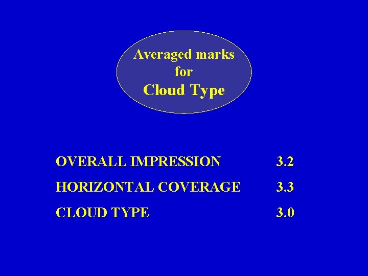
Averaged marks for Cloud Type OVERALL IMPRESSION 3. 2 HORIZONTAL COVERAGE 3. 3 CLOUD TYPE 3. 0
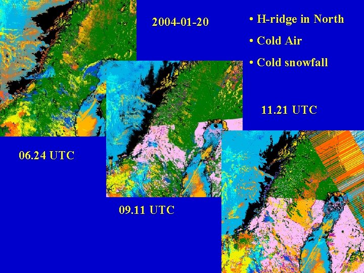
2004 -01 -20 • H-ridge in North • Cold Air • Cold snowfall 11. 21 UTC 06. 24 UTC 09. 11 UTC
-20 -10 2004 -01 -20 06 UTC
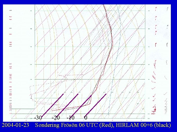
-30 -20 -10 0 2004 -01 -23 Sondering Frösön 06 UTC (Red), HIRLAM 00+6 (black)
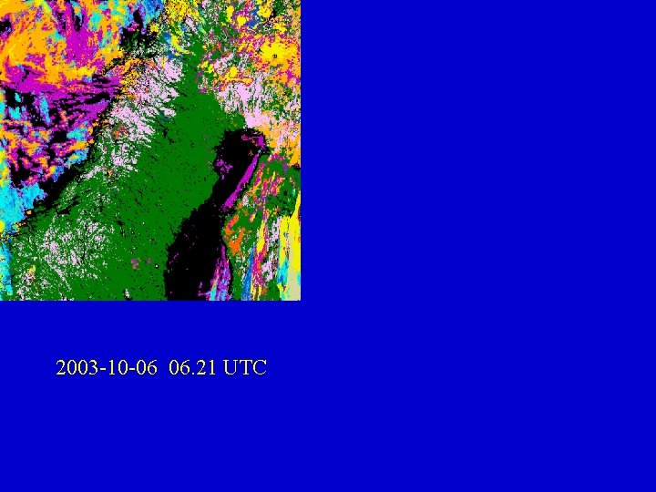
2003 -10 -06 06. 21 UTC
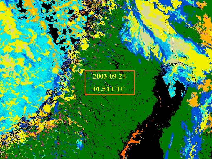
2003 -09 -24 01. 54 UTC
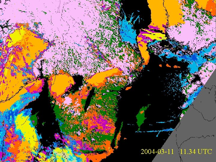
2004 -03 -11 11. 34 UTC
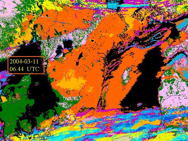
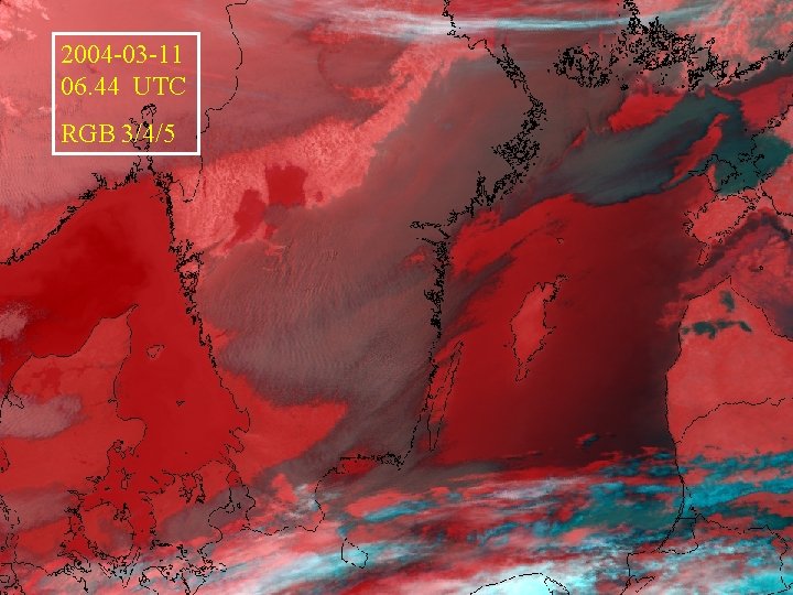
2004 -03 -11 06. 44 UTC
2004 -03 -11 06. 44 UTC RGB 3/4/5
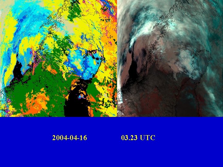
2004 -04 -16 03. 23 UTC
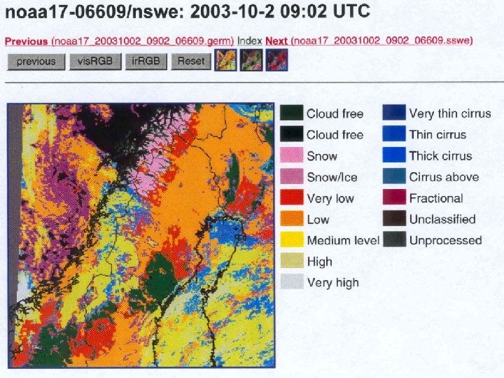
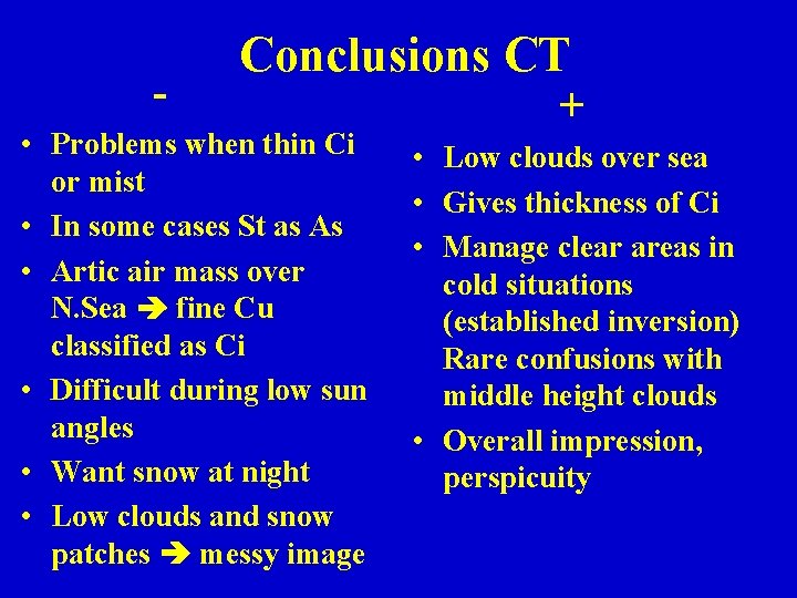
- Conclusions CT • Problems when thin Ci or mist • In some cases St as As • Artic air mass over N. Sea fine Cu classified as Ci • Difficult during low sun angles • Want snow at night • Low clouds and snow patches messy image + • Low clouds over sea • Gives thickness of Ci • Manage clear areas in cold situations (established inversion) Rare confusions with middle height clouds • Overall impression, perspicuity
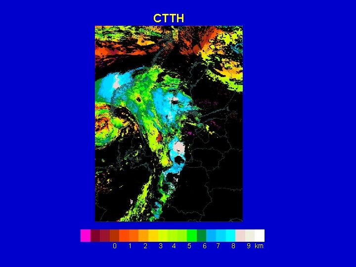
CTTH 0 1 2 3 4 5 6 7 8 9 km
Averaged marks Cloud Top Temperature and Height Cloud Top 2. 6 Accuracy 2. 5 Add unique (and specific) information 2. 4
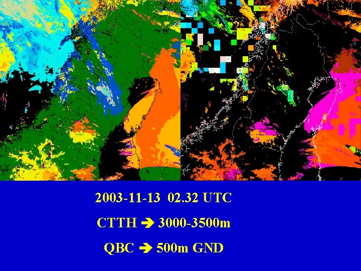
2003 -11 -13 02. 32 UTC CTTH 3000 -3500 m QBC 500 m GND
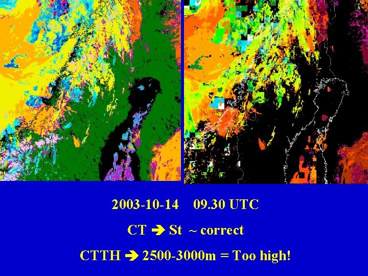
2003 -10 -14 09. 30 UTC CT St ~ correct CTTH 2500 -3000 m = Too high!
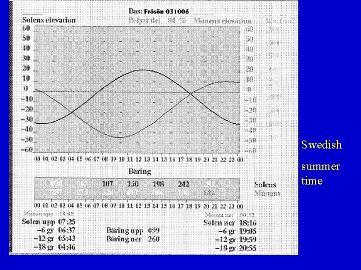
Swedish summer time
Conclusions CTTH • Often too high cloud tops for Stratus • Accuracy below 4000 m • Difficult to separate the colours, and the coast lines. + • Saves a little work • More accurate than MESAN cloud top • Add information where soundings are not available
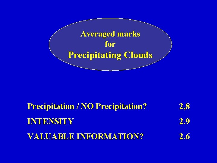
Averaged marks for Precipitating Clouds Precipitation / NO Precipitation? 2, 8 INTENSITY 2. 9 VALUABLE INFORMATION? 2. 6
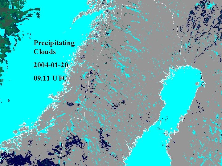
Precipitating Clouds 2004 -01 -20 09. 11 UTC
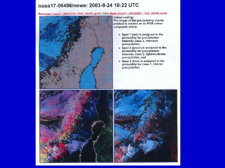
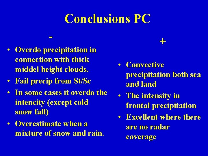
Conclusions PC • Overdo precipitation in connection with thick middel height clouds. • Fail precip from St/Sc • In some cases it overdo the intencity (except cold snow fall) • Overestimate when a mixture of snow and rain. + • Convective precipitation both sea and land • The intensity in frontal precipitation • Excellent where there are no radar coverage
CONCLUDING REMARKS • Generally ACCEPTED results. • High quality during the summer months. • Generally slightly underestimation of low clouds in CT, but better than SCANDIA • Good tool together with other information.
CONCLUDING REMARKS (cont. ) • Knowledge and experience improve the evaluation results. • Extend PC to a product over Norwegian Sea and North Sea. • Important to know weaknesses (low sun, new inversion, mist etc. ) Inform when operational introduced.
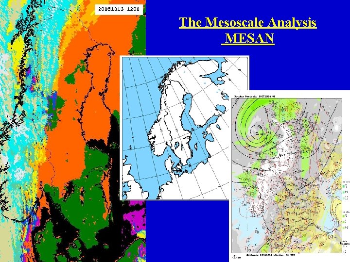
The Mesoscale Analysis MESAN
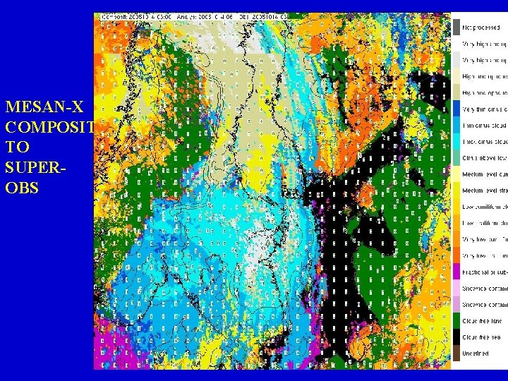
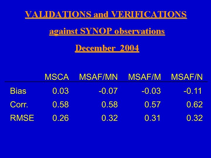
METHOD • CT composit (weighting factor and quality flag) • Superobservation (to match MESAN’s spatial resolution) A generalized observation through smoothing high resolution data in space. Total cloud cover superobservation consider all cloud types. • A validation study for the new cloud cover analysis. Verified against Manned SYNOP stations and validated against MESAN with the old SCANDIA classification.
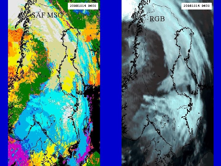
SAF MSG RGB
MESAN-X COMPOSIT TO SUPEROBS
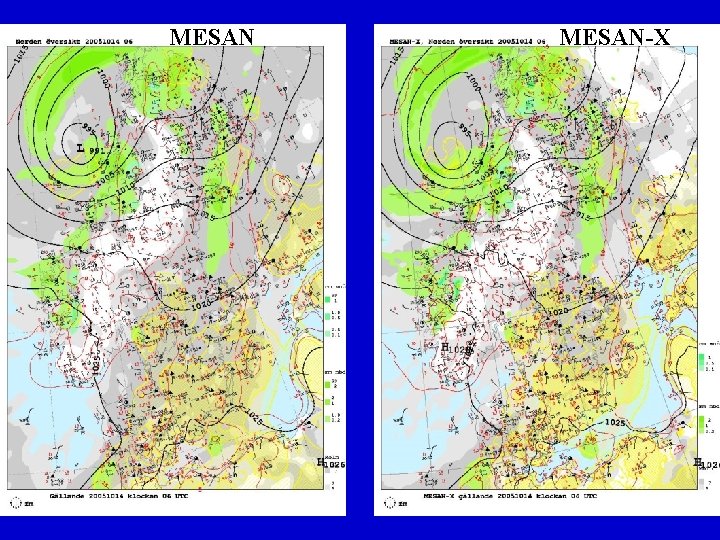
MESAN-X
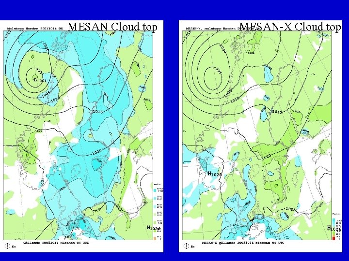
MESAN Cloud top MESAN-X Cloud top
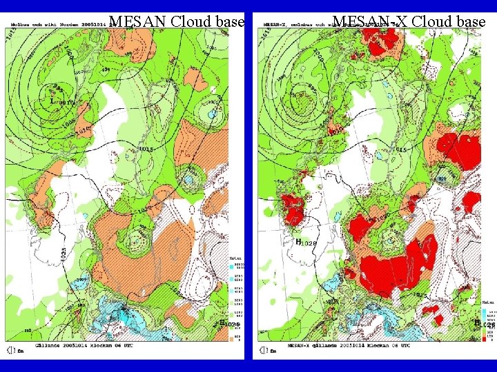
MESAN Cloud base MESAN-X Cloud base
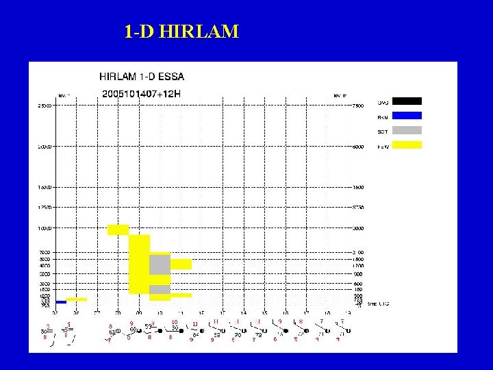
1 -D HIRLAM
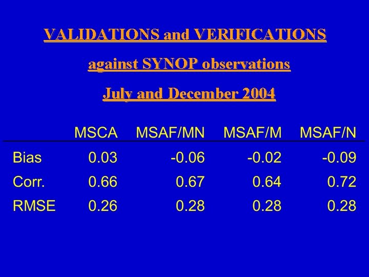
VALIDATIONS and VERIFICATIONS against SYNOP observations July and December 2004
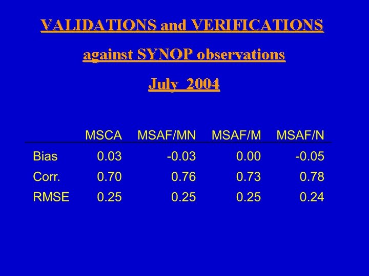
VALIDATIONS and VERIFICATIONS against SYNOP observations July 2004
VALIDATIONS and VERIFICATIONS against SYNOP observations December 2004
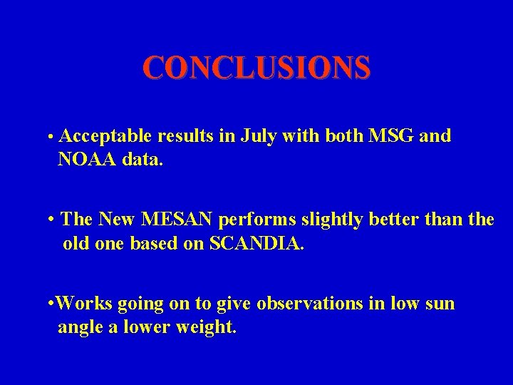
CONCLUSIONS • Acceptable results in July with both MSG and NOAA data. • The New MESAN performs slightly better than the old one based on SCANDIA. • Works going on to give observations in low sun angle a lower weight.
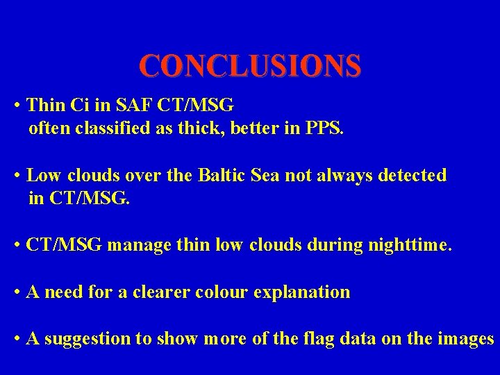
CONCLUSIONS • Thin Ci in SAF CT/MSG often classified as thick, better in PPS. • Low clouds over the Baltic Sea not always detected in CT/MSG. • CT/MSG manage thin low clouds during nighttime. • A need for a clearer colour explanation • A suggestion to show more of the flag data on the images
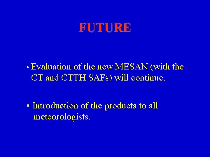
FUTURE • Evaluation of the new MESAN (with the CT and CTTH SAFs) will continue. • Introduction of the products to all meteorologists.