Rothley Conservation Click mouse for next slid Map


- Slides: 43
Rothley Conservation Click mouse for next slid
Map of 1903
Map of 1780
The Listed Conservation buildings in. Area Rothley in Reproduced from Ordnance Survey digital mapping. Crown copyright. Licence No
Rothley sitting beside the Brook
A sense of History
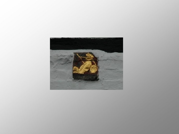
The connection with the Templars
Evidence of framework knitting
The original settlement around the Church
Narrow curving streets, the houses close together and set at the back of the pavement
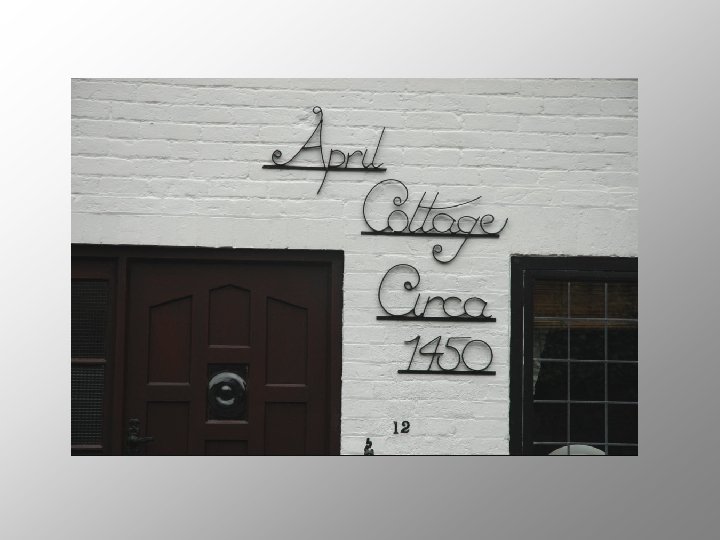
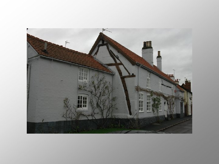
Many timber framed cottages
Town Green
One of the best preserved historic areas
Cross Green with its formal war memorial
Two storey houses The roof ridge parallel to the street With exceptions, of course!
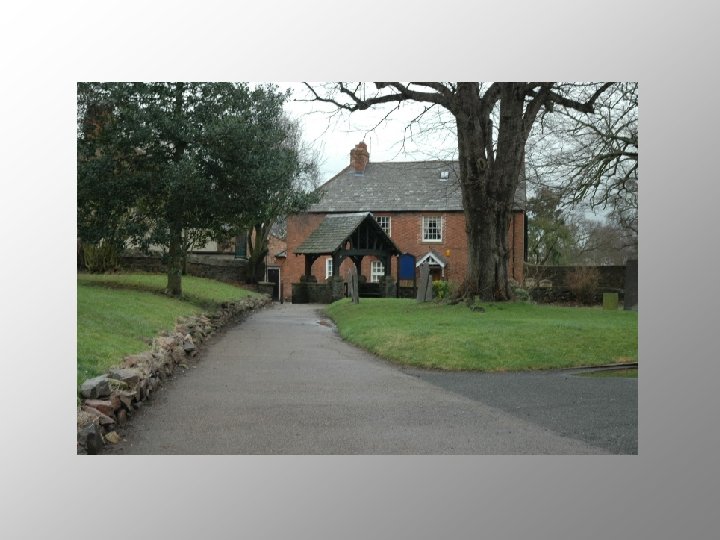
Individual buildings
Some of them set away from the public realm
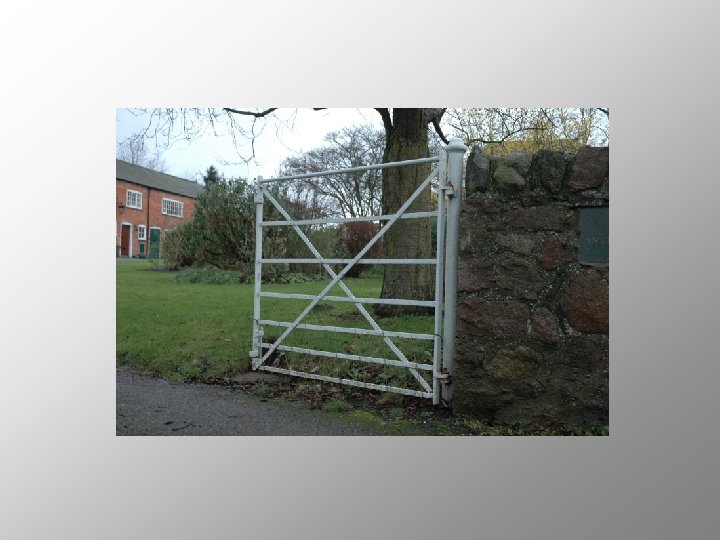
Landmarks
Marking the corner between North Street and Town Green Street
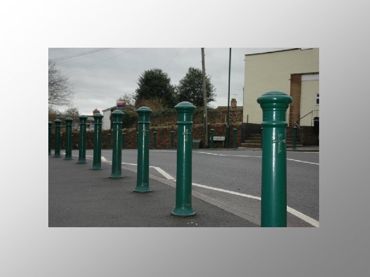
Raised pavement
Red brick Timber frame white render Granite
Thatch Welsh slate Swithland slate Roman tile
White painted sash windows
Yorkshire sliding sash windows
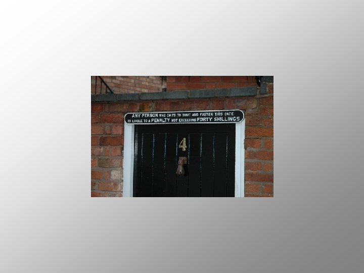
Doors
The old street lanterns
Cast iron street name plates
Blue enamel fire hydrant signs
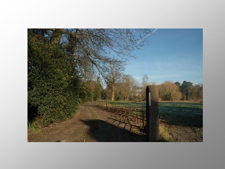
The relationship to the meadows and the brook
Pine trees along Hallfield s Lane
The approach past the parkland of Rothley Temple
Memorial to Queen Elizabeth II
Like sentinels around the war memorial
For more about Rothley download the appraisal either text or illustrated version