
Rio Santa Geodatabase Project Presented by Amanda Cuellar
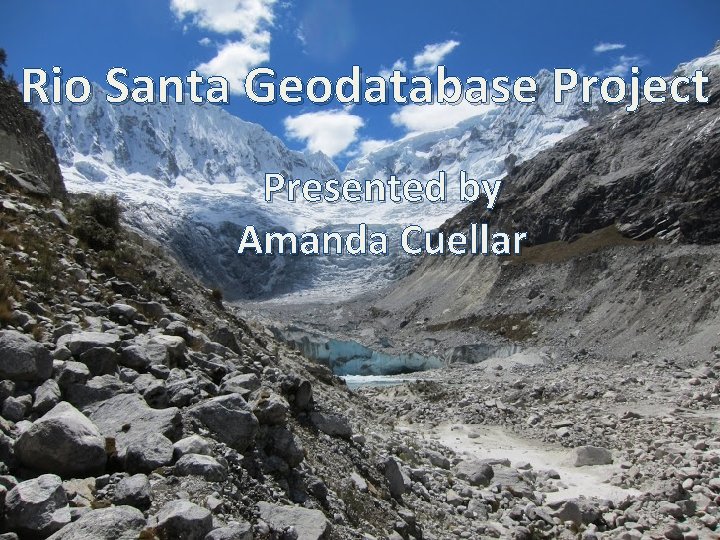
Rio Santa Geodatabase Project Presented by Amanda Cuellar
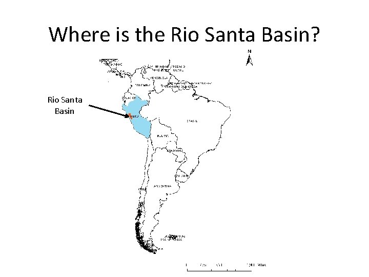
Where is the Rio Santa Basin? Rio Santa Basin
Project Background • Expanding high altitude glacial lakes pose risks to downstream communities • Various organizations are collaborating to study the lakes in the Rio Santa basin • Each organization records, processes, and keeps their own data • Researchers are in Peru, Texas, Massachusetts
Project Objective • Create a GIS map database for the data gathered by the Mc. Kinney group and collaborators for the Rio Santa Basin – Easy to share and view remotely – Data available for download – Researchers can upload their own data to share
First task: Gather data • Collect data held by the Mc. Kinney group from current and prior members • Collect data from collaborators at The Mountain Institute in Peru • Collect data from Peruvian government • Collect data from the community of practice
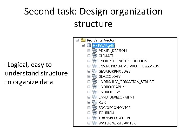
Second task: Design organization structure -Logical, easy to understand structure to organize data
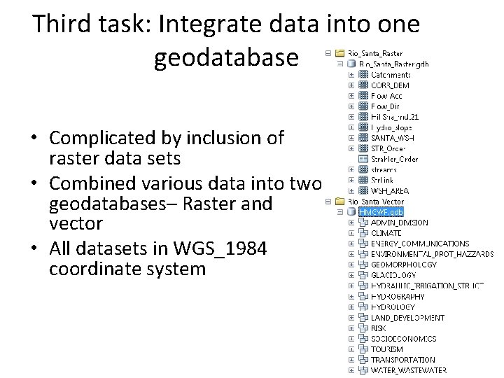
Third task: Integrate data into one geodatabase • Complicated by inclusion of raster data sets • Combined various data into two geodatabases– Raster and vector • All datasets in WGS_1984 coordinate system
Fourth task: Create new layers • Present tabular social data as vectors – Unfortunately social data did not have sufficient geographic information or resolution to create a meaningful map • Use remote sensing data to fill in any missing information – Downloaded Landsat images for the Rio Santa Basin – Calculated NDVI and working on classifying ground cover
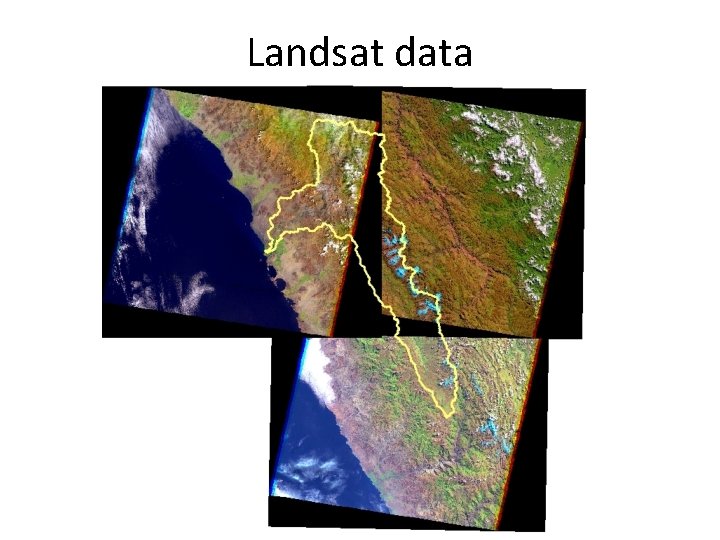
Landsat data
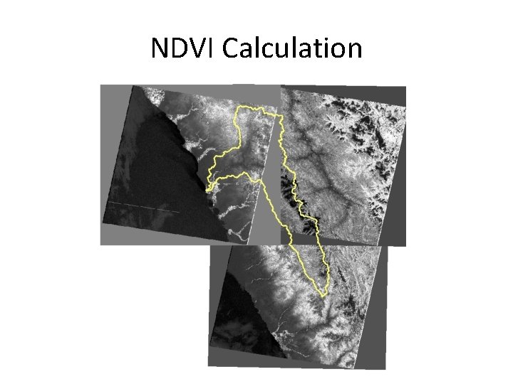
NDVI Calculation
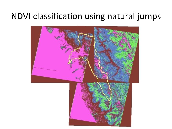
NDVI classification using natural jumps
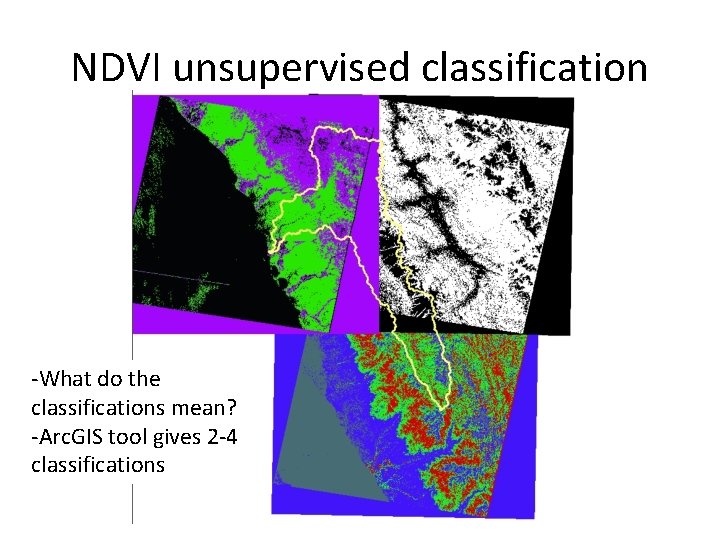
NDVI unsupervised classification -What do the classifications mean? -Arc. GIS tool gives 2 -4 classifications
Fifth task: Share geodatabase • Task is complicated because many researchers have slow internet or don’t have Arc. GIS • Working with other group members to find a low bandwidth sharing platform
Future Work • Experiment with literature NDVI classifications for different land cover • Compare classification results to known land cover • Trip to Peru in January to work directly with TMI and government researchers
Acknowledgements • Daene Mc. Kinney, Denny Rivas, David Rounce • Kate Voss, Jorge Recharte, Oscar Roman • Dr. Maidment
- Slides: 15