Remote Sensing 1 Data Acquisition 2 Data Analysis


 , USGS Global Visualization Viewer http: //glovis. usgs. gov/Img.")


- Slides: 17
Remote Sensing 1. Data Acquisition 2. Data Analysis
Characteristics of Landsat and ASTER
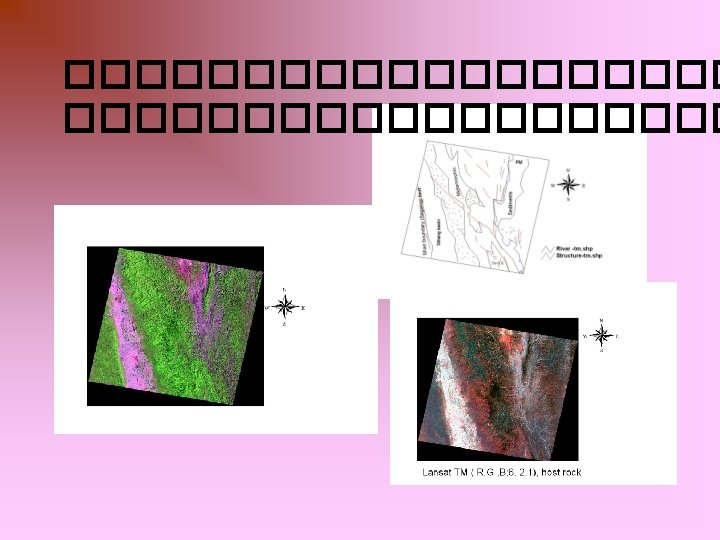
Methodology • Band combination and Band ratio method • Multi spectral signature by using multispectrum software for mineral composition, and rock. • Compare with True color and False color composite
Procedure
Spectral signature analysis • channels 1, 2 and 3 are seen on the x-axis • The pixel values are seen on the y-axis. • average pixel values • Cluster…water, Mineral, Rock unit….
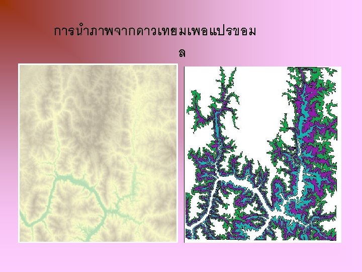
ภาพ 3 D modelling and ASTER DEM
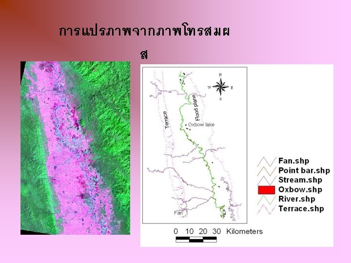
ภาพดาวเทยมจาก Earth Observing System (EOS) , USGS Global Visualization Viewer http: //glovis. usgs. gov/Img. Viewer. html
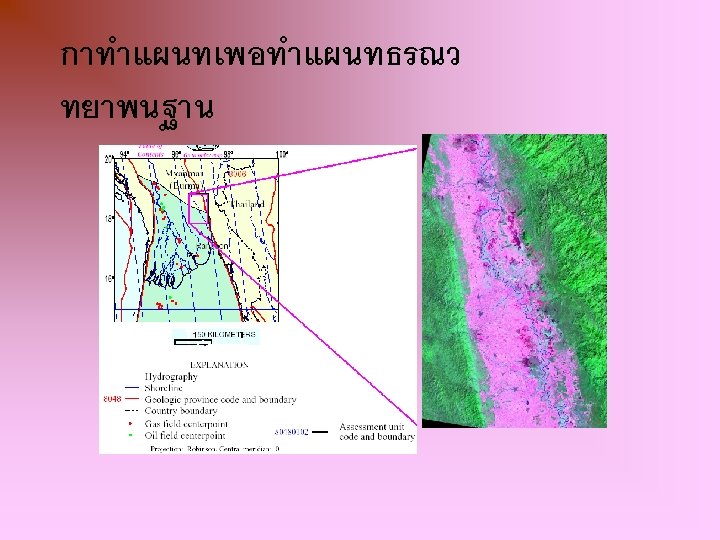
Geological Mapping v v Map scale Unit Symbol Geologic time scale
Digitizing & mapping • Layer by layer • Geological and structural maps( Arc view vector data) • Through the combination of related data sets with different origions and topologies, images, GIS allow the development tools