Rainfall Patterns and Drainage Density The Big Island

Rainfall Patterns and Drainage Density: The Big Island of Hawaii • Students are asked to determine the location of river channels on the Big Island of Hawaii. • Students are provided with a rainfall map, a DEM of the island, and a shape file containing the actual locations of rivers. • WARNINGS: • This project requires Arc. Map software, with spatial analyst and a hydrology add-on! • The link where you can download the hydrology extension is: http: //support. esri. com/index. cfm? fa=downloads. data. Models. filte red. Gateway&dmid=15 • Nice support page on using the hydro tools at: http: //stuff. mit. edu/afs/athena/course/1/1. 966/www/Lab 5 A/ • This project is fairly advanced and probably only appropriate near the end of a course.

Goals of this project: • Synthesize many geomorphic concepts: rainfall patterns, runoff production, drainage density, hillslope processes, fluvial processes • Students decide what maps they need to complete the project, and they must create the maps themselves. • CRITICAL THINKING REQUIRED! No regurgitation of formulas or straight plugging in.

Before starting this project: • At this point in the course, the students know how to make and interpret topographic, contour, slope, and hillshade maps. They also can make and understand the concept of “blue lines”. • This was the third and final project in a series of ARC map projects that we did. • The students were given hand-outs with stepby-step directions on how to make all of the required maps. (I’ll post these if you are interested. )

http: //www. bigislanddeals. com/webimages/rainfall. gif for rainfall map http: //hawaii. wr. usgs. gov/hawaii/data. html - for shape file of blue lines

NOTE: My students would get lots of points off for this and the rest of the crappy maps that I am showing you! No north arrow, no legend or title, no scale bar, no location coordinates … • • Big Island DEM Lots of Hawaii GIS data, including a 10 m DEM can be downloaded from: http: //www. soest. hawaii. edu/coasts/data/hawaii/dem. html I just downloaded from the USGS NED site, http: //seamless. usgs. gov/ , but I probably had to do some stitching.

Big Island Hillshade

Big Island Slope Map

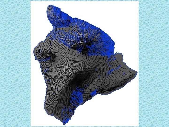
Contour Map draped on DEM

So what is the threshold drainage area?

= 45 km 2 Some maps one of my students made.

= 0. 27 km 2

= 1. 8 km 2

What the students handed in: • Maps illustrating the different drainage area thresholds they chose and why. (If slopes illustrated a change in landform, provide the slope map, etc. ) • Text describing how they used the slope, contour and hillshade maps to determine the locations of rivers. • Text describing why the map of actual river locations looks different from the maps that they made. Why couldn’t they reproduce the same map?

Some general comments: • This was the third and final project in a series of ARC map projects that we did. • The students were given hand-outs with step-by-step directions on how to make all of the required maps. • None of my students had used ARC before. • This project was difficult for the students and I had to coach them a bit.

Some more general comments: • Even though this series of projects was challenging for the students, they all enjoyed using ARC, and I received very good feedback on these projects. • We did not discuss age gradients across the island, but this could be an added dimension to the project. • We did not discuss how groundwater contributes to flow in Hawaiian rivers – maybe next time?
- Slides: 16