Quality of Images Geometric Quality of Aerial Images


- Slides: 16
Quality of Images
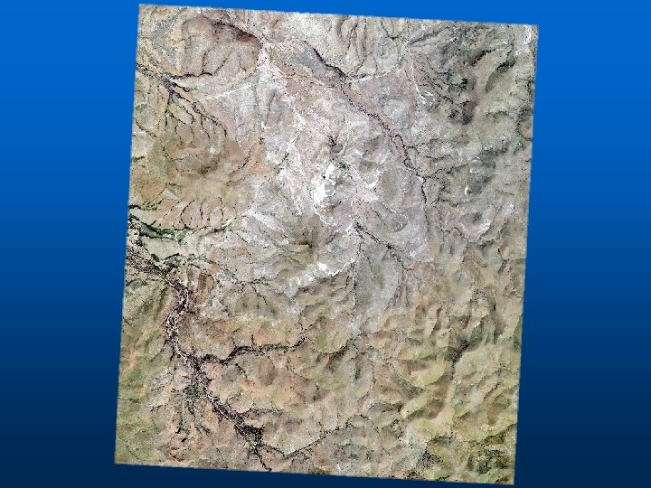
Geometric Quality of Aerial Images n n All aerial images contain geometric distortion Orthographic – plots position of objects after being projected onto a common plane • Equivalent to looking vertically downward onto a scene from an infinite height
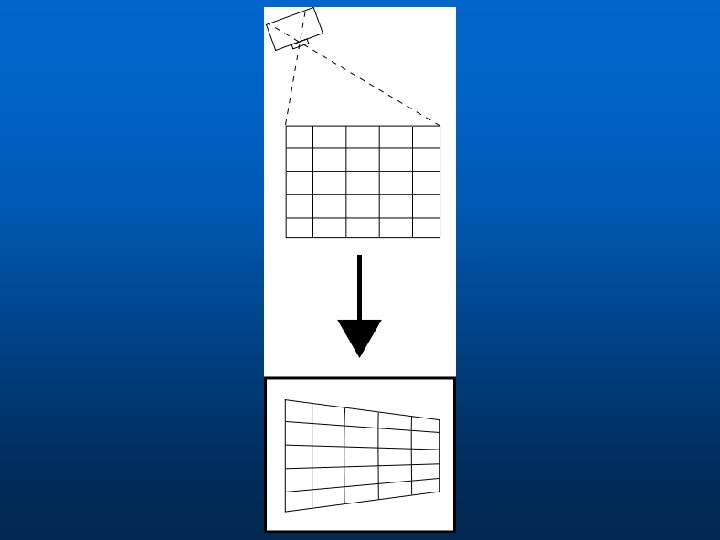
n Most aerial photos do not provide an orthographic view…they provide a perspective view, which is a geometrically distorted image of the Earth’s surface.
Aerial Image Distortion n Six primary sources Source Terrain Amount of Error Major Camera Tilt Major Film Deformation Minor Camera Lens Minor Atmospheric Bending Minor Other Camera Errors Minor
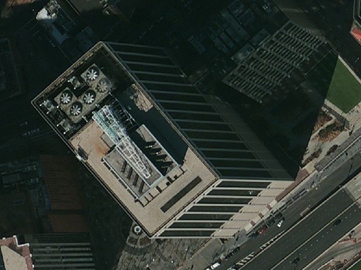
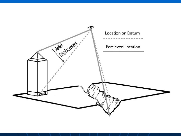
Terrain Distortion n n Terrain variation is often largest source of geometric distortion Causes relief displacement
Example Location of tall objects are displaced away from the center of the photograph Center of photograph X Displaced location of building corner X True location building corner
Terrain Distortions n n Terrain distortions are radial Relief distortions affect angles and distances on an aerial image Scale is not constant on aerial images A vertical aerial image taken over varied terrain is not orthographic
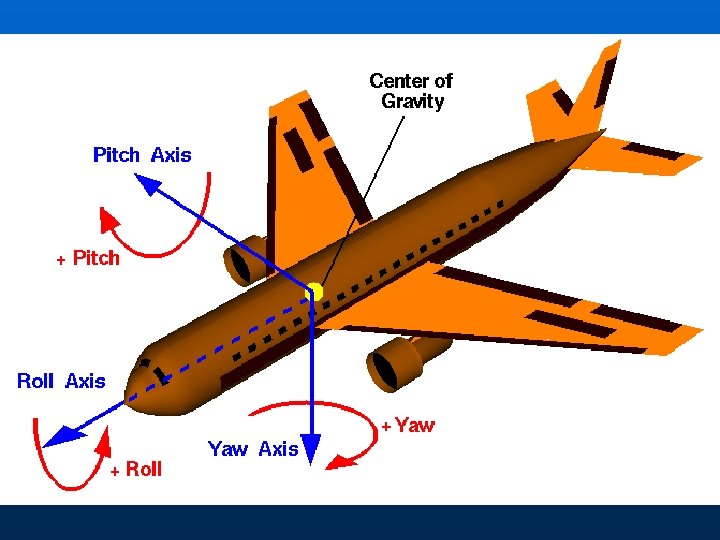
Camera Tilt Distortion n Camera tilt is when the optical axis points in a non-vertical angle • Results in complex perspective convergence
Camera Tilt Distortion n n Camera mounting systems are devised to keep optical axis pointing directly below Tilt is characterized by three angles of rotation • Pitch • Roll • Yaw
Other Errors n n Radial Lens Displacement – imperfections in camera lens surface Systematic errors • Ex. Deformed plattern - geometric distortion n Atmospheric Distortion – bending of light
Geometric Correction n Photogrammetry provides tools needed to remove geometric distortion from photos Correction process requires measurement of image coordinates and their corresponding ground coordinates End result: orthographic image -an image with terrain and perspective distortions removed