Python Building Geoprocessing Tools David Wynne Ghislain Prince

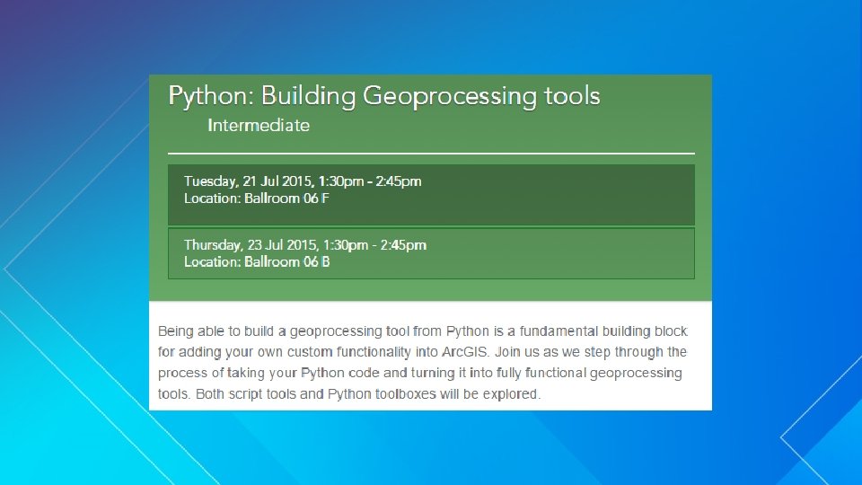
Python: Building Geoprocessing Tools David Wynne, Ghislain Prince

Why we build geoprocessing tools • • Your work becomes part of the geoprocessing framework - Easy to access and run from within Arc. GIS - Familiar look and feel - Make a mistake? Re-run from the previous result - Run from Python, Model. Builder, as a service - Add to a tool bar No UI programming

What makes a good geoprocessing tool? • • • Performs an essential and elemental operations on data - Can be combined with other tools to perform larger processes - Simple; isn’t overcomplicated Looks and feels like other geoprocessing tools (‘conventions’) - Such as has an output (‘required’ or ‘derived’) - Parameter type: Required → optional → derived - Parameter direction: Inputs → outputs Includes documentation

Deconstructing a geoprocessing tool • A geoprocessing tool does three things 1. Defines parameters 2. Validates parameters 3. Executes source

Turning Python code into geoprocessing tools Demo

Script tools vs Python toolboxes • • Using Python, we can build tools in two ways: Script tools (. tbx) Python toolboxes (. pyt) Arc. GIS 9. 0 Since Arc. GIS 10. 1 Partially written in Python and divided (parameters / validation / source) Written entirely in Python Which do I use? - “A tool is a tool” - From a development perspective, Python toolboxes are easier to manage/code *Says Dave (use what suits you) *

Parameters A geoprocessing tool does three types of work: 1. Defines its parameters 2. Validates its parameters 3. • • • Parameters are how you interact with a tool Executes code that performs the actual work Data type Filter Environment Type Dependency Symbology Direction Default Multivalue Simple rules to guide behaviors - Does an input exist? - What are valid fields for this data source? - Is this value an expected keyword?

Parameters • Key parameter characteristics Data type 1. - Feature layers, raster layers, table views, … - String, Boolean, long, double, … Direction 2. - Input, output Parameter type 3. - Required, optional, derived
 • Some data types are dependent on other")
Parameters – Parameter Dependencies (‘obtained from’) • Some data types are dependent on other parameters - • Field, SQL Expression, Field Info provide little value on their own Set a dependency to a different data type

Parameters - Symbology • Control the appearance of output by setting symbology • Set using a layer file either a : 1. Parameter property 2. Or in your source code - Important if you want to vary the symbology based on logical criteria

Parameters - Filters • • Filters are used to limit choices to acceptable values For example: Filter Values Relevant data types Value List String (keywords) or numeric values String, Long, Double, Boolean Range Between a minimum and maximum value Long, Double - A number between 1 and 10 - A string parameter with keywords Feature Class - A file parameter that will only accept files with a. txt extension Allowable feature class types Feature Layer, Feature Class File extensions File Field Supported field types Field Workspace Supported workspaces Workspace

Parameters - Environments • Some parameter data types match closely with geoprocessing environments • Can configure a parameter to use an environment (if set) by default

Parameter-izing a tool Demo

Validation A geoprocessing tool does three types of work: 1. Defines its parameters 2. Validates its parameters 3. • Executes code that performs the actual work • Provide additional behavior for how parameters respond and interact to values and each other • With Python code that you write - Control parameter interaction - Calculate defaults - Enable or disable parameters - Messaging (to guide parameter choices and protect against invalid ones)

A quick note about Python toolboxes and script tools

Validation • Parameter definitions provide common ‘validation’ requirements • For additional control, use update. Parameters and update. Messages • Validation is run every time a value changes • Validation logic is usually based on: - value (or value. As. Text) - altered - has. Been. Validated

Validation: Model. Builder • Describe outputs for chaining in Model. Builder • Data variables in Model. Builder include descriptions of data • By updating the schema, subsequent tools can see pending changes prior to execution

Validation: Messages • Messages are added in update. Messages • A tool will not run while a parameter has an active error message • set. Error. Message(<message>) • set. Warning. Message(<message>)

Validation: Licensing • Check if a tool is licensed to execute* • If is. Licensed returns False, the tool is blocked from executing • * Python toolbox only

Validation – Feature Layers • The type of a layer parameter changes depending if the input is a layer or feature class

Using parameter objects • New at 10. 3. 1 and Pro 1. 1 • Describe accepts parameter objects directly - For layers, using parameter. value is expensive - Using parameter directly is much faster (more noticeably in Pro)

Working with validation: Script tools and Python toolboxes Demo

Execution A geoprocessing tool does three types of work: 1. Defines its parameters 2. Validates its parameters 3. • • The ‘business logic’ of your tool Parameters are received by your code • - parameter. value or parameter. value. As. Text - arcpy. Get. Parameter(n) or arcpy. Get. Parameter. As. Text(n) The logic of your tool is performed • - • Executes code that performs the actual work Communication can be added with messages and progressor Derived output values (if any) are pushed back

Distributing your tools http: //esriurl. com/extending. GP • Easy to ‘share’ a toolbox. - • • Simply share the files or package a result But! To have your toolboxes blend seamlessly, distribute as a Python site-package - Are easily distributable - Toolboxes appear as System Toolboxes - Toolboxes become available through arcpy - Supports dialog side-panel help and localized messages Requires specific structure
 Tuesday")
Python at User Conference • http: //esriurl. com/UC 2015 Python (54 Python sessions) Tuesday Wednesday Thursday 8: 30 • Python: An Introduction • • • Python: An Introduction Python: Raster Analysis 10: 15 • Python: Beyond the Basics • • Python: Beyond the Basics Python Map Automation: Introduction to … • Python: Building Geoprocessing tools Advanced Map Automation with Python • 11: 30 • Python Map Automation: Introduction to… Arc. GIS Pro: A Quick Tour of Python: Building Geoprocessing tools • 3: 15 • Python: Raster Analysis • Advanced Map Automation with Python

Thank you… • Please fill out the session survey in your mobile app • Select Python: Building Geoprocessing Tools in the Mobile App - Use the Search Feature to quickly find this title • Click “Technical Workshop Survey” • Answer a few short questions and enter any comments

- Slides: 28