Proximal Soil and Plant Sensing Soil and plant


- Slides: 18
Proximal Soil and Plant Sensing
• Soil and plant sensing can be separated into remote sensing, which is discussed in Chapter 8, and proximal sensing, where an instrument is placed within 2 m of the target (Viscarra Rossel et al. , 2011). These sensors are used for a variety of purposes including quantifying spatial and temporal changes in plant and soil health (Gebbers and Adamchuk, 2010). As a result of rapid developments in electronics, a wide array instruments can be used to obtain rapid and reliable signals that can be used to create site-specific recommendations. To better characterize the way each of the sensors is used, this chapter focuses on the mobility, energy, and how sensors work. This chapter also refers to examples of commercial proximal sensing systems, as well as highlights new concepts currently being developed.
An Introduction to Proximal Sensing Systems • In terms of sensor deployment, conducting on-the-go measurements while traveling across the landscape, represents the ultimate solution and produces a large amount of information that can be used to apply a precision treatment according to a predefined algorithm (real-time or online application), or it can be recorded along with geographic coordinates (mapping) for future geo-spatial data processing (map -based or offline application).
• As shown in Fig. 9. 1, different sensors rely on different parts of the electromagnetic spectrum Fig. 9. 1. Soil sensors that employ different parts of electromagnetic spectrum.
• The physical principles used to measure soil properties in field conditions can be separated into several categories including: i) electrical and electromagnetic sensors that include most geophysical tools, ii) optical and radiometric sensors that cover different parts of the electromagnetic spectrum, iii) sensors that rely on mechanical interactions between sensors and soil, and iv) electrochemical sensors that directly measure the activity of specific ions or molecules (Fig. 9. 2). Fig. 9. 2. Families of proximal soil sensing tools.
• Electrical and electromagnetic sensors use electric circuits to measure the capability of soil to conduct and/or accumulate an electrical charge (Fig. 9. 3). Fig. 9. 3. Soil electrical resistivity and/or conductivity sensing.
Fig. 9. 4. Illustration of an ECa map with respect to field topography (Field 26 at Macdonald Farm, Ste-Anne-de-Bellevue, Quebec, Canada, prepared by Hsin-Hui Huang).
Fig. 9. 5. Soil mechanical resistance mapping.
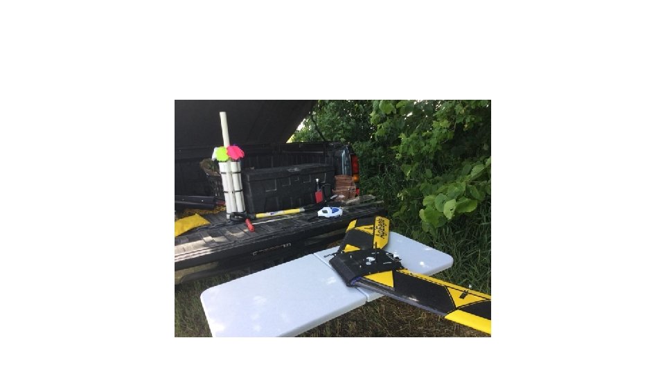
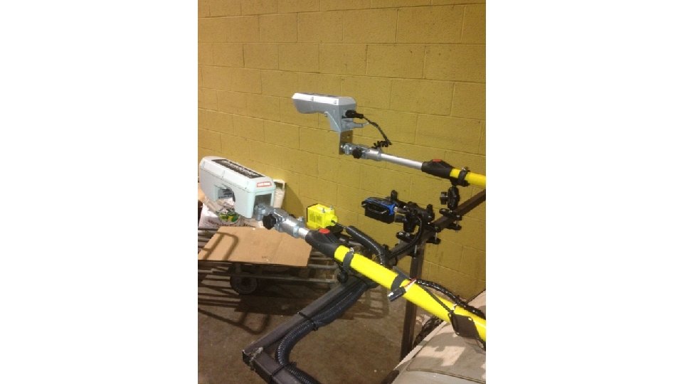
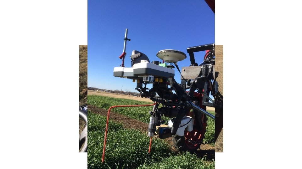
Fig. 9. 6. Crop canopy sensing.
OSU / AGCO Corp. Project Veris Technologies
Introducing the first system to generate high definition soil property maps using gamma-ray spectrometry Maps included are: p. H, Mg, P, OM, Ca, Base Saturation Mg, Base Saturation K, Base Saturation Ca, CEC, %Sand, %Silt, %Loam, K/Mg ratio, and Ca/Mg ratio. (Practical Precision Inc. , Tavistock, ON, Canada).
Silver medal for innovation awarded to Geoprospectors at Agritechnica 2015 in Hanover Uses proven non-invasive geophysical measurement technologies, such as electromagnetic induction, ground penetrating radar and gamma ray spectroscopy
Commercial Crop Consultant Nebraska, USA
• Video 9. 1. What are the advantages of multiple sensor fusion? http: //bit. ly/multiple-sensorfusion • Video 9. 2. What is soil EC? http: //bit. ly/what-is-soil-EC • Video 9. 3. How does soil EC relate to soil properties? http: //bit. ly/soil-EC-soil-properties • Video 9. 4. How do farmers use soil EC? http: //bit. ly/farmers-soil-EC • Video 9. 5. How do crop canopy sensors work? http: //bit. ly/crop-canopy-sensors • Video 9. 6. How do crop canopy sensors aid management decisions? http: //bit. ly/cropcanopy-sensors-management
Study Questions • What is the difference between proximal and remote sensing? • Which sensor systems are called “on-the-go”? • What measurement methods can be used to map apparent soil electrical conductivity? • Which soil properties can be successfully predicted using vis–NIR spectroscopy? • What plant attributes can be detected using Li. DAR and ultrasonic measurements? • What sensing principle is frequently used to detect differences in N stress in crops? • Why is proximal sensing system calibration important?