
Prof Christopher Rasmussen cercis udel edu Lab web

Prof. Christopher Rasmussen cer@cis. udel. edu Lab web page: vision. cis. udel. edu November 10, 2004
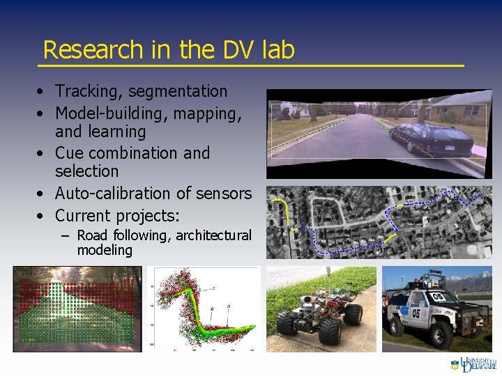
Research in the DV lab • Tracking, segmentation • Model-building, mapping, and learning • Cue combination and selection • Auto-calibration of sensors • Current projects: – Road following, architectural modeling
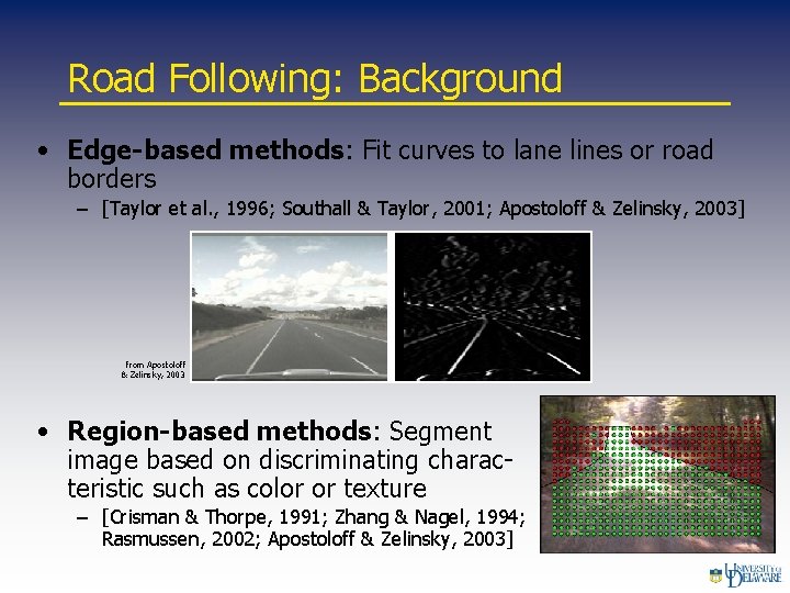
Road Following: Background • Edge-based methods: Fit curves to lane lines or road borders – [Taylor et al. , 1996; Southall & Taylor, 2001; Apostoloff & Zelinsky, 2003] from Apostoloff & Zelinsky, 2003 • Region-based methods: Segment image based on discriminating characteristic such as color or texture – [Crisman & Thorpe, 1991; Zhang & Nagel, 1994; Rasmussen, 2002; Apostoloff & Zelinsky, 2003]
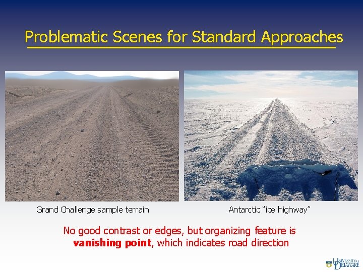
Problematic Scenes for Standard Approaches Grand Challenge sample terrain Antarctic “ice highway” No good contrast or edges, but organizing feature is vanishing point, which indicates road direction
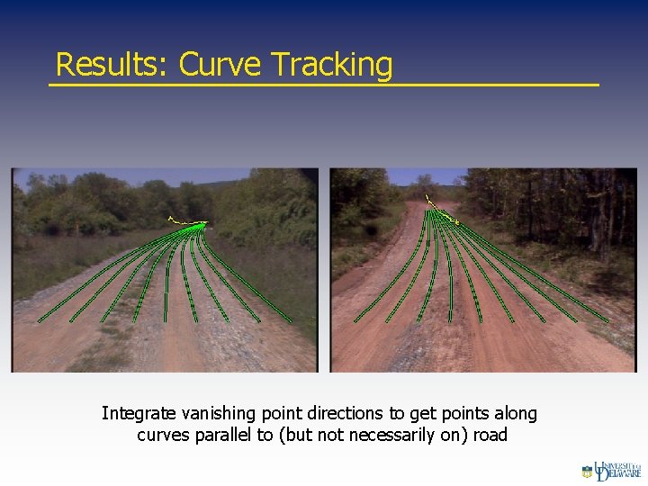
Results: Curve Tracking Integrate vanishing point directions to get points along curves parallel to (but not necessarily on) road
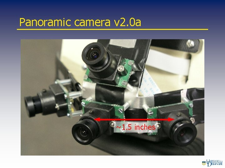
Panoramic camera v 2. 0 a ~1. 5 inches
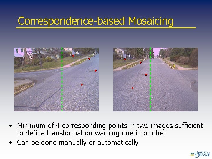
Correspondence-based Mosaicing • Minimum of 4 corresponding points in two images sufficient to define transformation warping one into other • Can be done manually or automatically
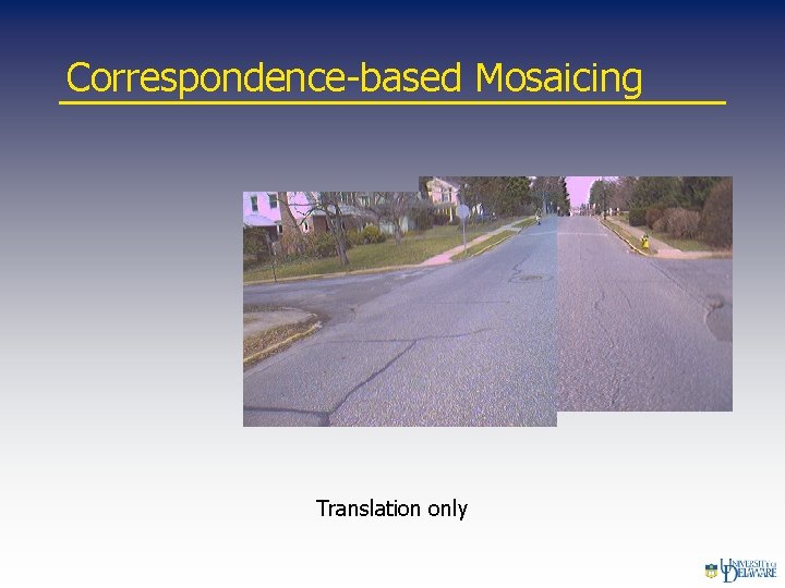
Correspondence-based Mosaicing Translation only
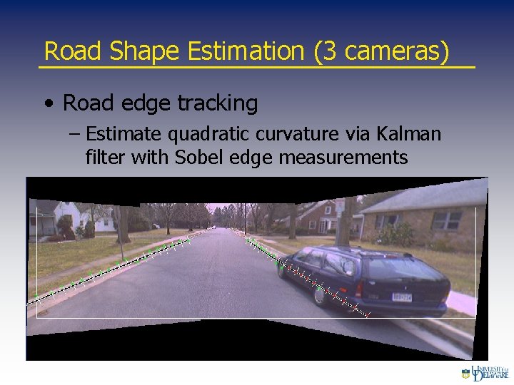
Road Shape Estimation (3 cameras) • Road edge tracking – Estimate quadratic curvature via Kalman filter with Sobel edge measurements
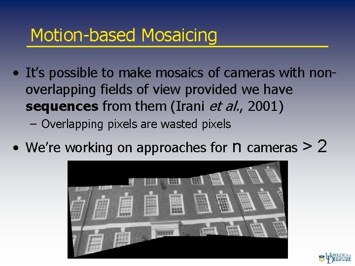
Motion-based Mosaicing • It’s possible to make mosaics of cameras with nonoverlapping fields of view provided we have sequences from them (Irani et al. , 2001) – Overlapping pixels are wasted pixels • We’re working on approaches for n cameras > 2
Motivation: DARPA Grand Challenge • Organized by DARPA (the U. S. Defense Advanced Research Projects Agency) • A robot road race through the desert from Barstow, CA to Las Vegas, NV on March 13, 2004 • Prize for the winning team: $1 million (nobody won) • Running again next October with $2 million prize
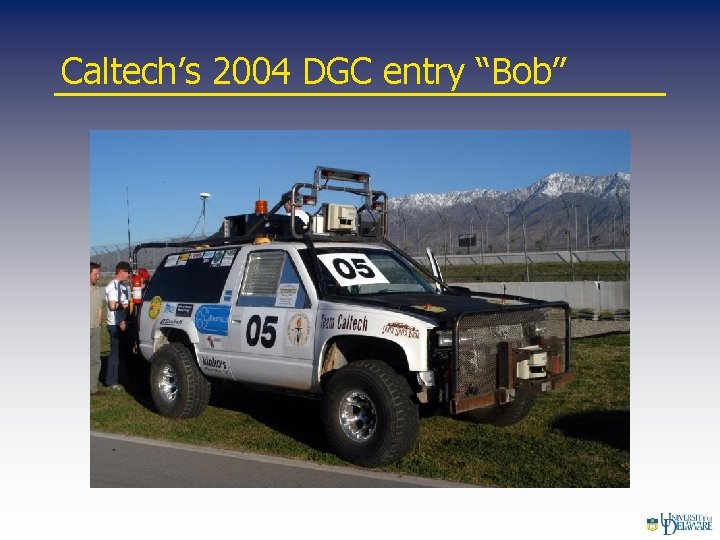
Caltech’s 2004 DGC entry “Bob”
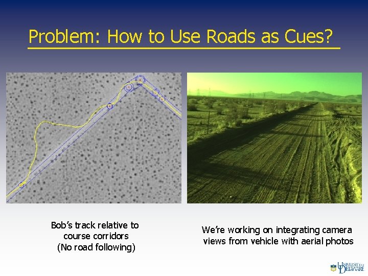
Problem: How to Use Roads as Cues? Bob’s track relative to course corridors (No road following) We’re working on integrating camera views from vehicle with aerial photos
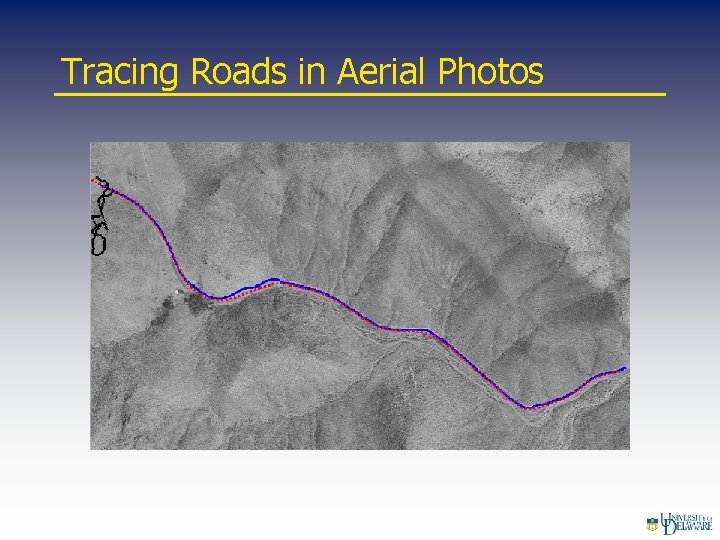
Tracing Roads in Aerial Photos
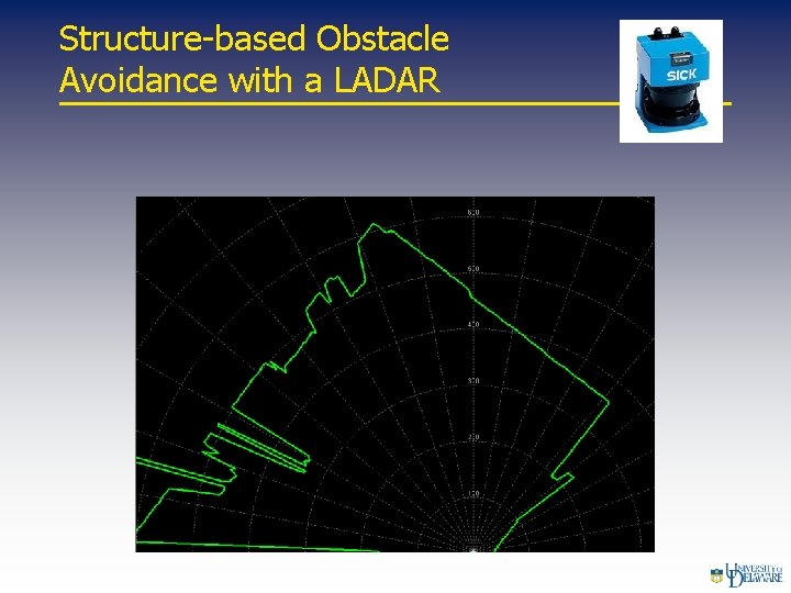
Structure-based Obstacle Avoidance with a LADAR
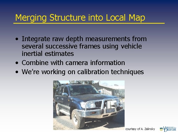
Merging Structure into Local Map • Integrate raw depth measurements from several successive frames using vehicle inertial estimates • Combine with camera information • We’re working on calibration techniques courtesy of A. Zelinsky
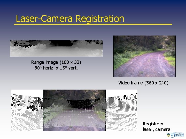
Laser-Camera Registration Range image (180 x 32) 90° horiz. x 15° vert. Video frame (360 x 240) Registered laser, camera
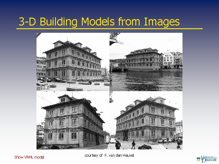
3 -D Building Models from Images Show VRML model courtesy of F. van den Heuvel
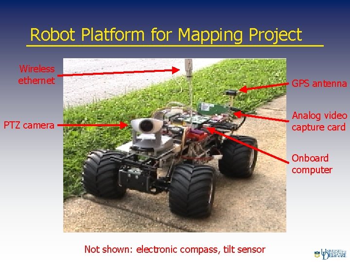
Robot Platform for Mapping Project Wireless ethernet GPS antenna PTZ camera Analog video capture card Onboard computer Not shown: electronic compass, tilt sensor
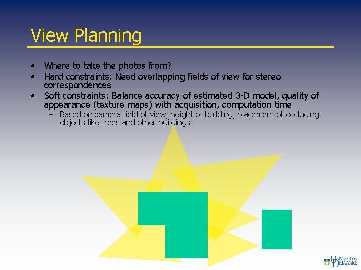
View Planning • • • Where to take the photos from? Hard constraints: Need overlapping fields of view for stereo correspondences Soft constraints: Balance accuracy of estimated 3 -D model, quality of appearance (texture maps) with acquisition, computation time – Based on camera field of view, height of building, placement of occluding objects like trees and other buildings
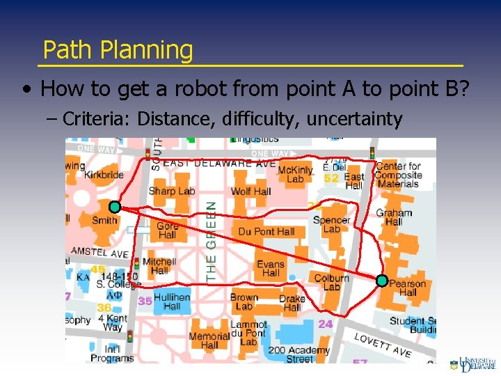
Path Planning • How to get a robot from point A to point B? – Criteria: Distance, difficulty, uncertainty
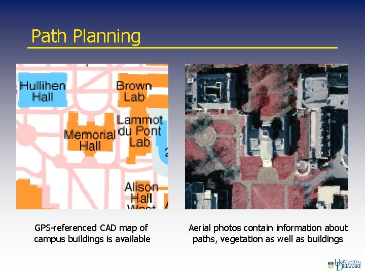
Path Planning GPS-referenced CAD map of campus buildings is available Aerial photos contain information about paths, vegetation as well as buildings
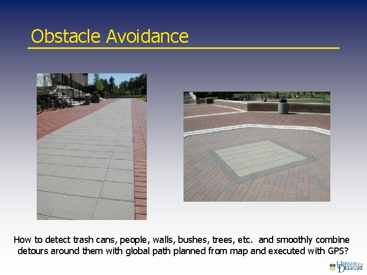
Obstacle Avoidance How to detect trash cans, people, walls, bushes, trees, etc. and smoothly combine detours around them with global path planned from map and executed with GPS?
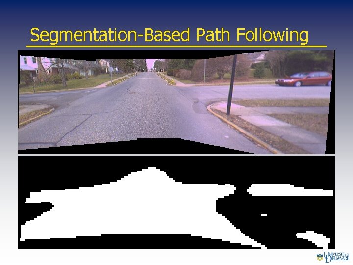
Segmentation-Based Path Following
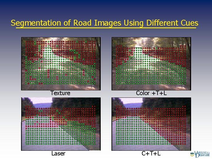
Segmentation of Road Images Using Different Cues Texture Laser Color +T+L C+T+L
- Slides: 25