
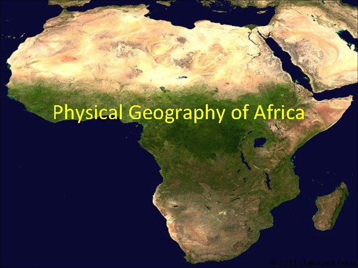
Physical Geography of Africa 2011 Clairmont Press Atlas
- Slides: 13
Physical Geography of Africa 2011 Clairmont Press
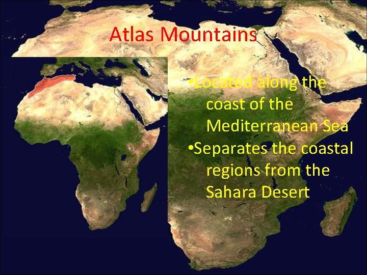
Atlas Mountains • Located along the coast of the Mediterranean Sea • Separates the coastal regions from the Sahara Desert
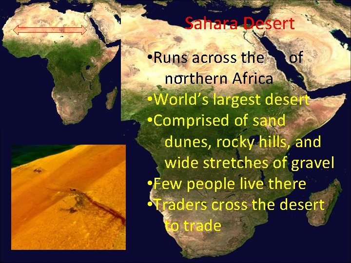
Sahara Desert • Runs across the of northern Africa • World’s largest desert • Comprised of sand dunes, rocky hills, and wide stretches of gravel • Few people live there • Traders cross the desert to trade
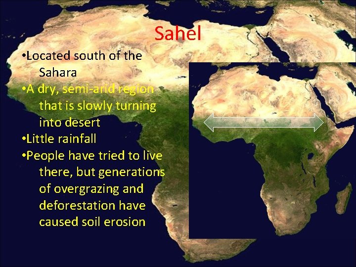
Sahel • Located south of the Sahara • A dry, semi-arid region that is slowly turning into desert • Little rainfall • People have tried to live there, but generations of overgrazing and deforestation have caused soil erosion
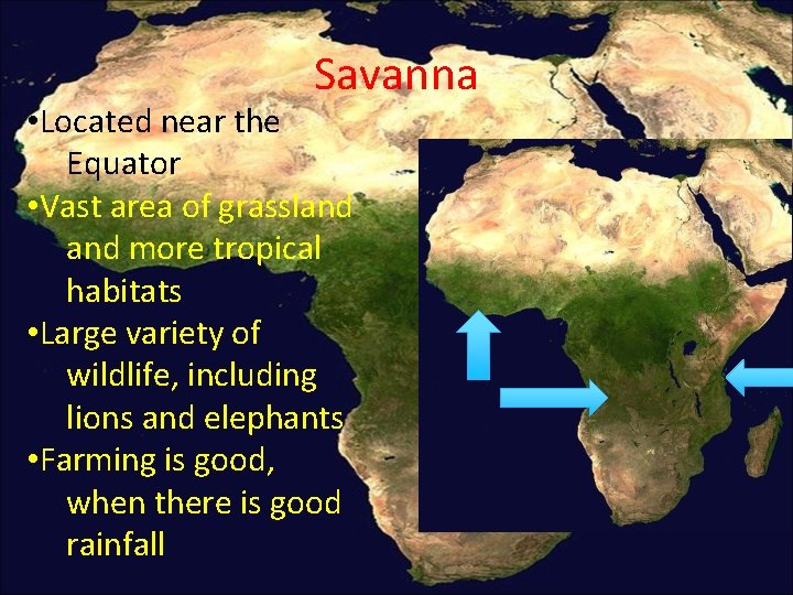
Savanna • Located near the Equator • Vast area of grassland more tropical habitats • Large variety of wildlife, including lions and elephants • Farming is good, when there is good rainfall
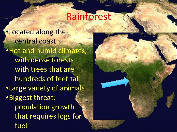
Rainforest • Located along the central coast • Hot and humid climates, with dense forests with trees that are hundreds of feet tall • Large variety of animals • Biggest threat: population growth that requires logs for fuel
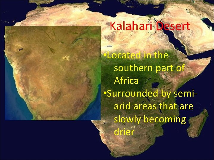
Kalahari Desert • Located in the southern part of Africa • Surrounded by semiarid areas that are slowly becoming drier
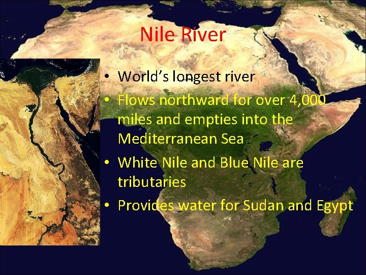
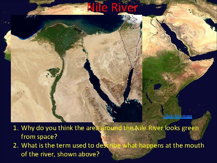
Nile River • World’s longest river • Flows northward for over 4, 000 miles and empties into the Mediterranean Sea • White Nile and Blue Nile are tributaries • Provides water for Sudan and Egypt
Nile River Click for map 1. Why do you think the area around the Nile River looks green from space? 2. What is the term used to describe what happens at the mouth of the river, shown above?
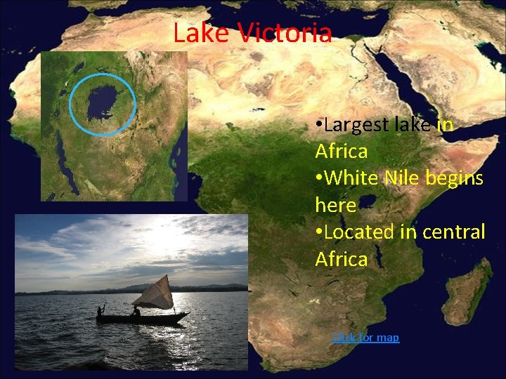
Lake Victoria • Largest lake in Africa • White Nile begins here • Located in central Africa Click for map
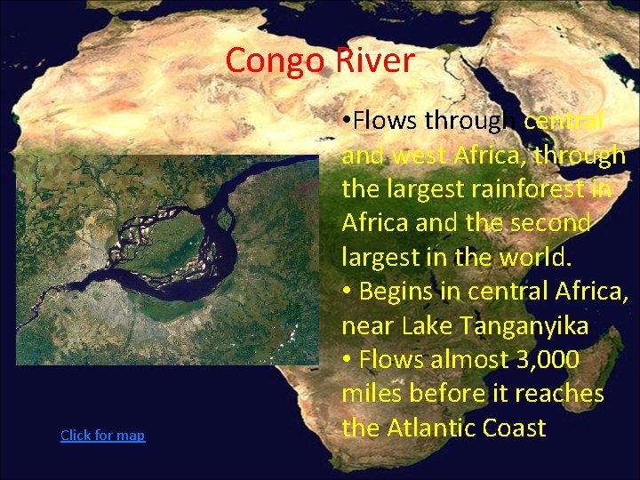
Congo River Click for map • Flows through central and west Africa, through the largest rainforest in Africa and the second largest in the world. • Begins in central Africa, near Lake Tanganyika • Flows almost 3, 000 miles before it reaches the Atlantic Coast
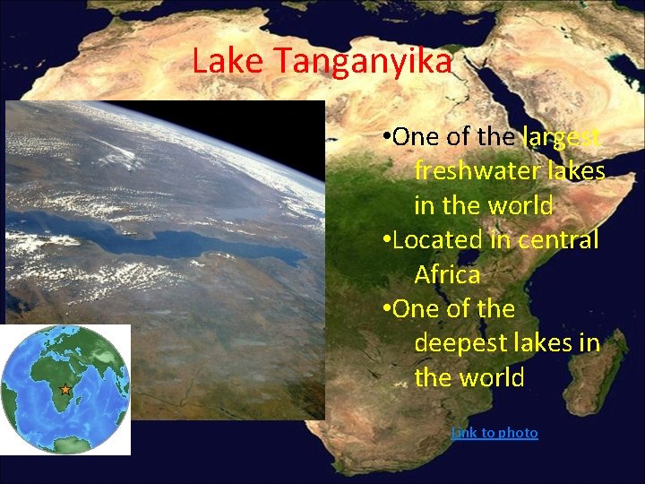
Lake Tanganyika • One of the largest freshwater lakes in the world • Located in central Africa • One of the deepest lakes in the world Link to photo
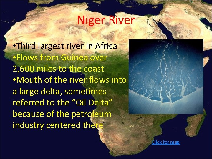
Niger River • Third largest river in Africa • Flows from Guinea over 2, 600 miles to the coast • Mouth of the river flows into a large delta, sometimes referred to the “Oil Delta” because of the petroleum industry centered there Click for map