Photogrammetry Cont Stereoscopic Parallax The apparent displacement of


- Slides: 35
Photogrammetry Cont.
Stereoscopic Parallax The apparent displacement of the position of an object wrt a frame of reference due to a shift in the point of observation, try it. F The shift is along the line of movement. F The closer the object to the frame, the larger the shift for the same shift, so parallax is a function of height. F F Parallax equations: Parallax = p = x - x 1 What is (x) ? get ground coordinates B X= p x Y= B y p H-h = Bf P get the flying height or point elevation
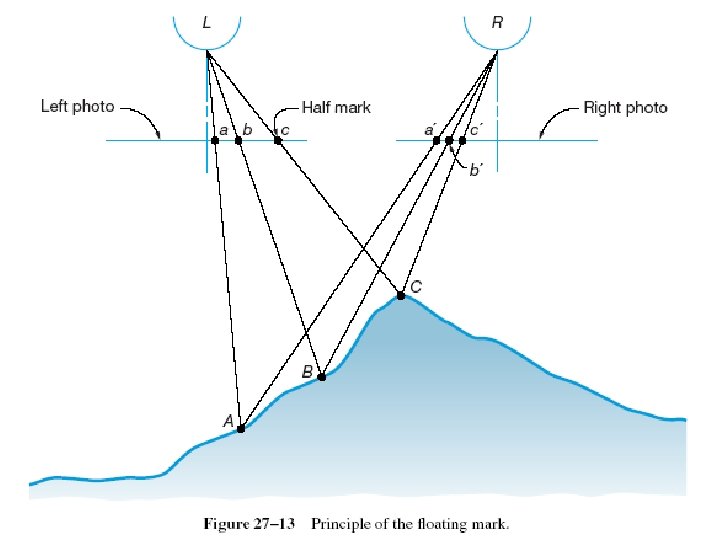
Stereoscopic Viewing The theory of stereoscopic viewing and parallactic angles F Conditions for viewing a stereo model: F – See the same point from two locations Separately At, or almost at, the same time.
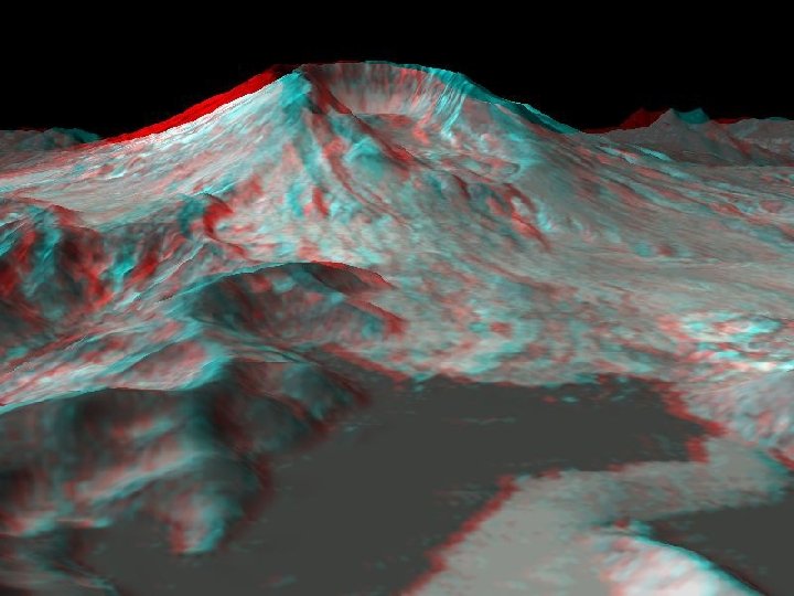
Animation Showing June 3, 2004 Meteor Path Over WA Courtesy of Marco Langbroek & Others
from http: //www. visualizationsoftware. com/3 dem/oldflybys. html, courtesy of : Richard Horne
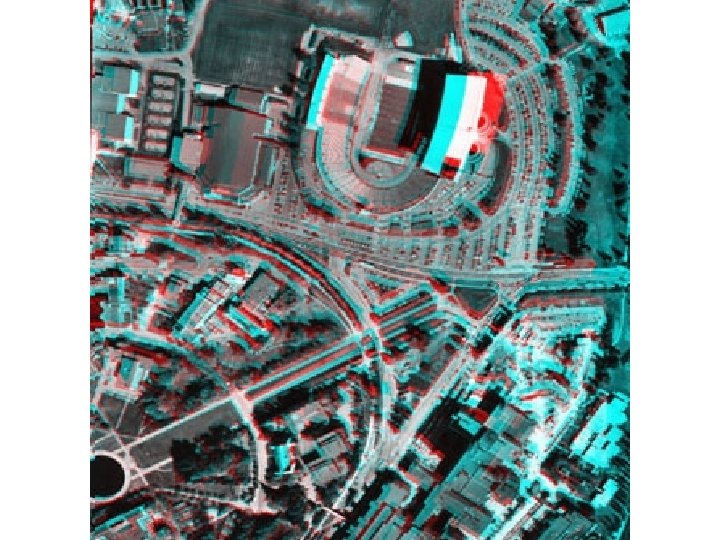
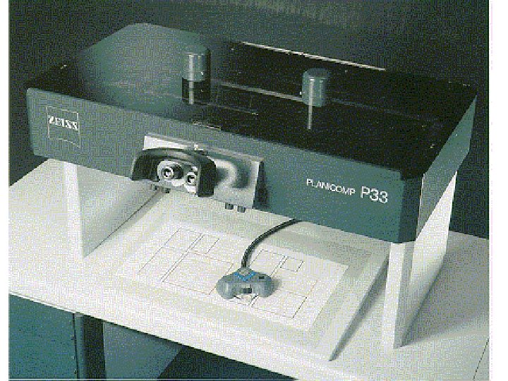
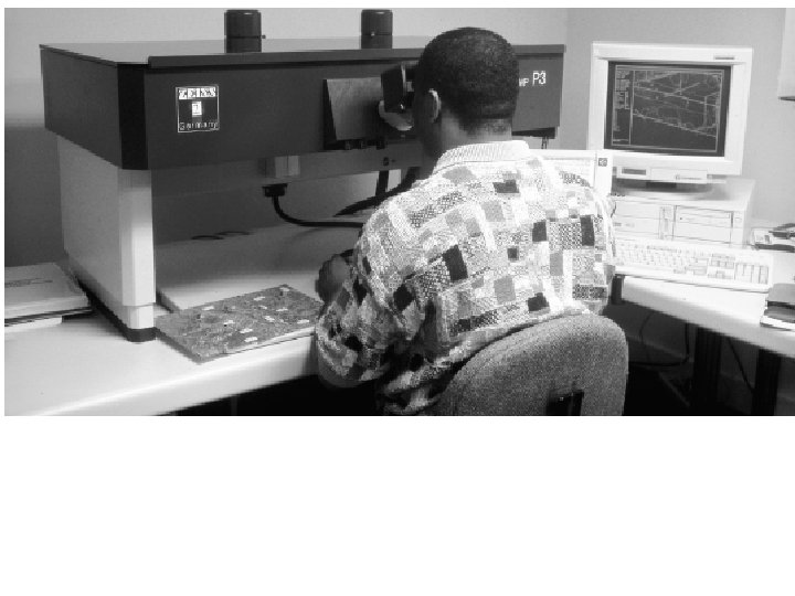
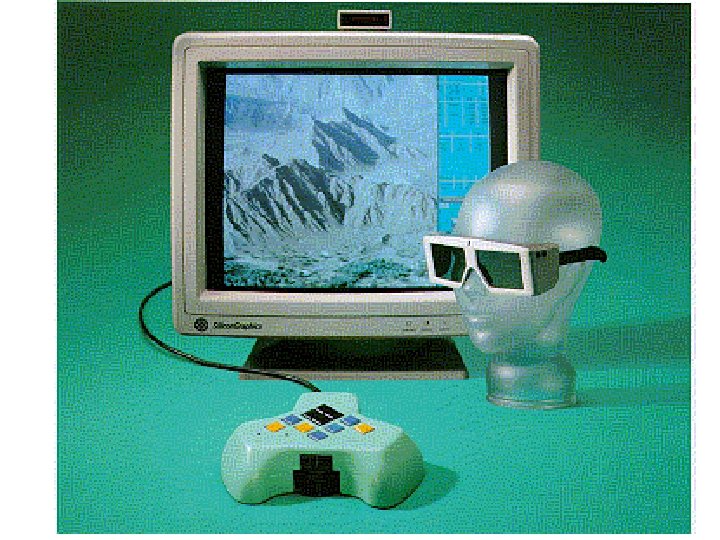
Stereoscopic Plotters F To compile maps, take cross sections, and DEM F Three main components: – – – Projection system Viewing system Tracing system F Major – – Types: Optical, mechanical. Analytical, and softcopy systems: mathematical model, require computers
Orthophotos F Orthographic projection of photographs. F Uniform scale, no relief displacement. F Serve as maps F Produced by “rectifying “ the photographs, now mainly through “digital image processing”. F Advantage of orthophotomaps
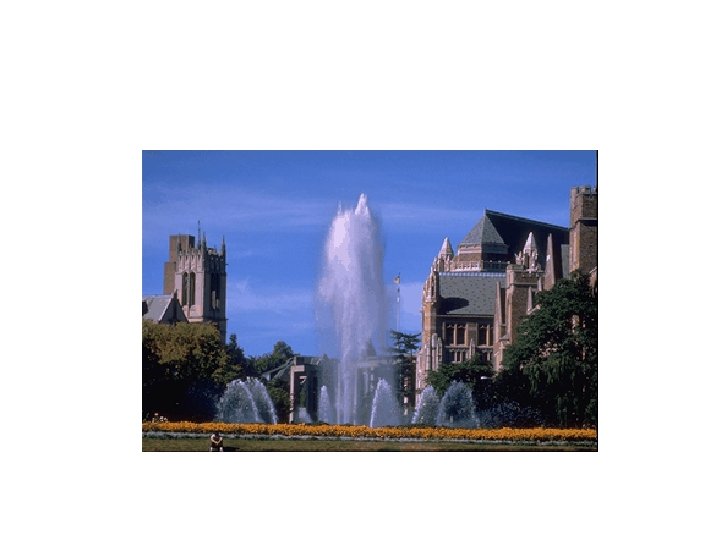
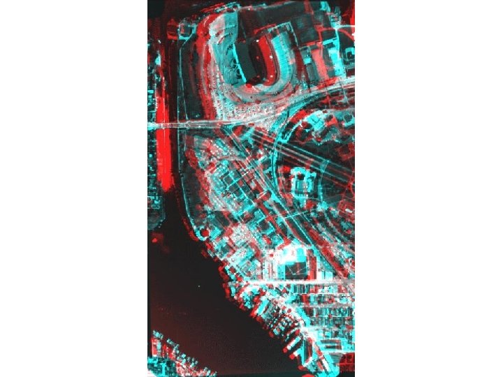
Orthophoto of Washington, DC
Ground Control for Photogrammetry F Each model requires three horizontal and four vertical control points. F Control points are chosen before (marked) or after (usually) and measured by ground surveying F Using “Aerial Triangulation” control can be intensified on the photos F GPS may eliminate the need for ground control.
Integrated technology F Photogrammetry systems are installed into Total stations and LIDAR system to suppplement and add to the data collected. F For example, LIDAR provides clouds of points (XYZ), their color is taken from the RGB value of the pixel at the same location in the photograph. F Examples