PANGAEA PLATE TECTONICS PANGAEA The world didnt always


- Slides: 18

PANGAEA & PLATE TECTONICS

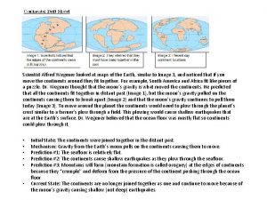
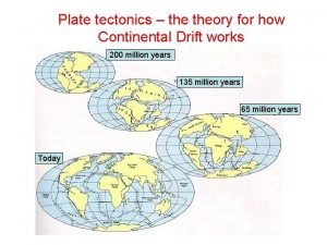
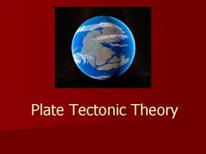
PANGAEA � � The world didn’t always look the way it looks today. If you look at the edges of the continents carefully they look as if they could fit together like a puzzle. You are NOT crazy. They do fit together!! They fit together because they were once a super continent referred to as Pangaea. 200 million years ago all of the land masses on the earth were one giant land mass. Click on the following link to see if you can figure it out. Pangaea Puzzle

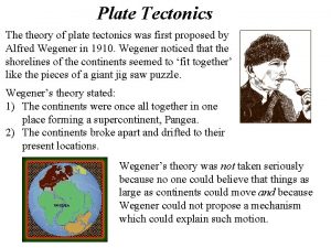
CONTINENTAL DRIFT � Pangaea is based on theory of continental drift. Alfred Wegner, a German meteorologist came up with this theory in 1912. This idea has maintained a hypothesis and has yet to be proven � This idea was radical and controversial. It wasn’t until his death in 1930 that his hypothesis was accepted. He wasn’t able to prove exactly why the continents drifted apart but he used fossil clues, plant clues, climate clues and rock clues to prove his theory.

MANY CLUES, FOSSILS ETC. Plants, rocks, and climate clues like the evidence of glaciers and tropical regions use the same theoretical explanation.

BUT HOW DO THE CONTINENTS DRIFT? � Do continents just pick up and start to move away from each other? Did something put them into motion? � Wegner explained the evidence as a result of the drift but not how it actually happened. � He suggested that the spin of the Earth created a force that would move the continents and would cause the sea floor to spread. Obviously his ideas were rejected and science continued to find answers to this very important question.

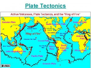
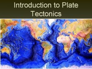
MAPPING THE OCEAN FLOOR � � Mapping the sea floor is important in the study of geology and the movement of the plates. The ocean floor can be mapped using sonar. Naval ships use this to measure the depths of the water and dolphins use sonar to navigate. Sonar waves are what type of wave? (transverse or compresional? ) Using these sound waves scientists know where there are ridges and volcanoes on the sea floor. Most volcanoes are not visible at the surface but some are. Along the pacific there a group of volcanoes that form a circle. This group is known as the Pacific Ring of Fire.

INTERESTING IMAGES

SEAFLOOR SPREADING � � When scientist discovered that they could map the sea floor they started to try and prove Wegner’s theory of Pangaea. Harry Hess, a scientist at Princeton University, proposed that hot, less dense material below Earth’s crust rises toward the surface at the mid ocean ridges. This move is called seafloor spreading. He continues his theory by stating that the material flows sideways, carrying the seafloor away from the ridge in both directions. As the seafloor spreads apart, magma is forced upward and flows from the cracks. It becomes solid as it cools and forms new seafloor.

EVIDENCE OF SPREADING � In 1968 the Glomar Challenger began digging thru the ocean floor and collecting rock samples. They found that the newest rocks were at the surface and the older rocks were deeper in; proving theory of seafloor spreading.

PLATE TECTONICS � The idea of seafloor spreading showed that more than just continents were moving, as Wegener had thought. � It was now clear to scientists that sections of the seafloor and continents move in relation to one another.

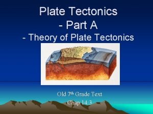
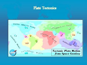
PLATE TECTONICS � According to theory of plate tectonics, Earth’s crust and part of the upper mantle are broken into sections. � These sections, called plates, move on a plastic like layer of the mantle. Each year it is believed that they move an average of 1 -16 cm

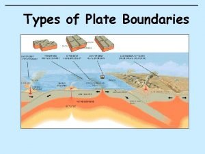
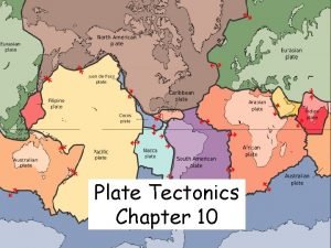
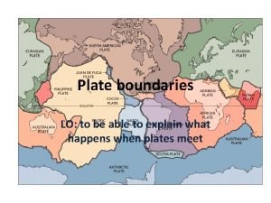
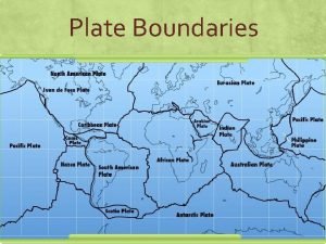
PLATE BOUNDARIES � When plates move, they can interact in several ways. � When the plates interact, the result of their movement is seen at the plate boundaries Plates move in 3 ways: 1. Collide with each other 2. Pull Apart 3. Slide Next to each other

PLATES MOVING APART � The boundary between two plates that are moving apart is called a divergent boundary called the Mid-Atlantic Ridge � In the Atlantic Ocean, the North American Plate is moving away from the Eurasian and the African Plates.

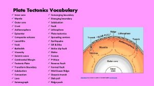
PLATES MOVING TOGETHER � As new crust is added in one place, it disappears below the surface at another. � The disappearance of crust can occur when seafloor cools, becomes denser, and sinks creating an area called a subduction zone. � The area where an oceanic plate subducts, or goes down, into the mantle is called a subduction zone.

LANDFORMS THAT ARE CREATED Some volcanoes form over subduction zones. � A subduction zone also can form where two oceanic plates converge. Because both of these plates are less dense than the material in the asthenosphere, the two plates collide and crumple up, forming mountain ranges. �

WHEN PLATES SLIDE PAST EACH OTHER � When one plate slips past another suddenly, earthquakes occur. � The San Andreas Fault is part of a transform plate boundary. It has been the site of many earthquakes

CAUSE OF PLATE TECTONICS � The cycle of heating, rising, cooling, and sinking is called a convection current � A version of this same process, occurring in the mantle, is thought to be the force behind plate tectonics.

RIVERS, DELTAS, AND LAKES �A delta is a landform that is created at the mouth of a river where that river flows into an ocean, sea, estuary, lake, reservoir, flat arid area, or another river. Deltas are formed from the deposition of the sediment carried by the river as the flow leaves the mouth of the river. Over long periods of time, this deposition builds the characteristic geographic pattern of a river delta.
 Plate tectonics vs continental drift
 Convergent boundary with subduction
 Plate motion calculator
 The plate tectonics theory states that
 Plate tectonic theory vs continental drift
 Compare continental drift and plate tectonics
 Plate tectonics webquest
 Plate tectonics vocabulary
 Continetial drift
 Seafloor spreading material at trenches
 Plate tectonics definition
 Driving force of plate tectonics
 What is this process called
 Summarize the theory of plate tectonics
 Arthur holmes contribution to plate tectonics
 Plate tectonic theory vs continental drift
 Plate tectonics test review answer key
 Constructive plate boundary diagram
 Edible plate tectonics

