
OGC Agriculture Domain Working Group Activities Josh Lieberman
® OGC Agriculture Domain Working Group - Activities Josh Lieberman, David Medyckyj-Scott, Peter Wilson, Simon Cox 28 February 2016 Copyright © 2016 Open Geospatial Consortium
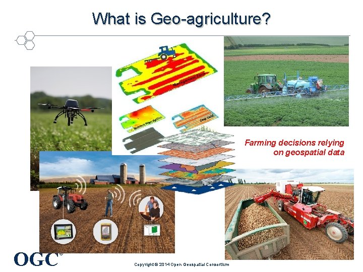
What is Geo-agriculture? Farming decisions relying on geospatial data OGC ® Copyright © 2014 Open Geospatial Consortium
Agriculture DWG Problem Statement Few activities are more tied to location, geography, and the geospatial landscape than farming. The farm business, farm supply chain, and public agricultural policies are increasingly tied as well to quantitative data about crops, soils, water, weather, markets, energy, and biotechnology. These activities involve sensing, analyzing, and communicating larger and larger scale geospatial data streams. How does farming become more, not less, sustainable as a business and as a necessity for life in the face of climate change, growing populations, scarcity of water and energy. Matching precision agricultural machinery with precision agricultural knowledge and promoting crop resiliency at large and small scales are becoming global challenges. Agriculture now touches many aspects of the work that OGC is doing to promote interoperability of geospatial data and geographic analysis. In the near future, for example, a significant part of the Internet of Things will consist of farm Things that measure weather, soil moisture, plant fungus attacks, irrigation rates, and dozens of other parameters critical to understanding the health and potential of crops. As agriculture becomes another significant and rapidly evolving domain of large-scale geospatial information exchange, it is timely to create a forum to represent this domain in the form of an OGC Domain Working Group. OGC ® Copyright © 2014 Open Geospatial Consortium
Agriculture DWG Planned Activities • Explore agricultural information exchange standard alignment: UN/CEFACT, ISO/TC 23, ISOBus, Agro. XML, OGC, … • Develop reference architecture for OGC encoding and interface standards in common agricultural activities. • Coordinate with IUSS on Soil. ML. • Coordinate with the agricultural interest groups within ESIP and RDA. • Coordinate with other geo-agriculture organizations such as Club of Ossiach and CAPIGI (Community on Agricultural Policy Implementation and Geo-information) • Organize Agricultural Geoinformatics Summit at future OGC Plenary OGC ® Copyright © 2014 Open Geospatial Consortium
OGC Soil Interoperability Experiment • Soil data needs to be freely available, in formats that can be used for a wide range of purposes • Global/national initiatives require interoperable solutions • A global soil standard is required – for the transfer of soil feature data, including data about soil bodies, profiles, and horizons, and related entities. – as a reference for soil observations, as these features typically host the properties that are observed. • Existing standards are diverse and don’t cover all our data exchange needs, some are quite restricted in scope • Need to reconcile them in a single, comprehensive standard • OGC Soil focused Interoperability Experiment was the first step in achieving this OGC ® Copyright © 2015 Open Geospatial Consortium
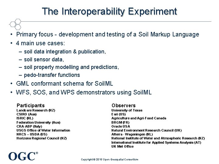
The Interoperability Experiment • Primary focus - development and testing of a Soil Markup Language • 4 main use cases: – – soil data integration & publication, soil sensor data, soil property modelling and predictions, pedo-transfer functions • GML conformant schema for Soil. ML • WFS, SOS, and WPS demonstrators using Soil. ML Participants Observers Landcare Research (NZ) CSIRO (Aus) ISRIC (NL) Federation University (Aus) CRA-ABP (Italy) USGS Office of Water Information NRCS – USDA (US) Horizons Regional Council (NZ) University of Texas Esri (US) Agriculture and Agri-Food Canada BRGM (FR) Oracle USA Natural Environment Research Council (UK) Alterra - Wageningen (NL) National Institute of Water and Atmospheric Research (NZ) International Institute for Applied Systems Analysis (AT) UK Met Office OGC ® Copyright © 2015 Open Geospatial Consortium
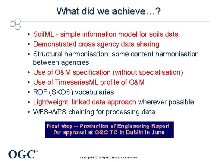
What did we achieve…? • Soil. ML - simple information model for soils data • Demonstrated cross agency data sharing • Structural harmonisation, some content harmonisation between agencies • Use of O&M specification (without specialisation) • Use of Timeseries. ML profile of O&M • RDF (SKOS) vocabularies • Lightweight, linked data approach wherever possible • WFS-WPS chaining for processing data Next step – Production of Engineering Report for approval at OGC TC in Dublin in June OGC ® Copyright © 2015 Open Geospatial Consortium
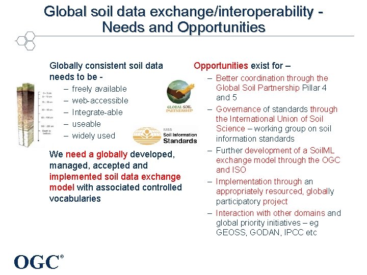
Global soil data exchange/interoperability Needs and Opportunities Globally consistent soil data needs to be – – – freely available web-accessible Integrate-able useable widely used We need a globally developed, managed, accepted and implemented soil data exchange model with associated controlled vocabularies 8 | OGC ® Opportunities exist for – – Better coordination through the Global Soil Partnership Pillar 4 and 5 – Governance of standards through the International Union of Soil Science – working group on soil information standards – Further development of a Soil. ML exchange model through the OGC and ISO – Implementation through an appropriately resourced, globally participatory project – Interaction with other domains and global priority initiatives – eg GEOSS, GODAN, IPCC etc
More information • Josh Lieberman – Chair, OGC Ag DWG – jlieberman@fas. harvard. edu • David Medyckyj-Scott – Landcare New Zealand – Medyckyj-Scott. D@landcareresearch. co. nz • Peter Wilson – CSIRO Australia – Peter. Wilson@csiro. au OGC ® Copyright © 2016 Open Geospatial Consortium
- Slides: 9