Ocean Landforms The Ocean Floor Revealing the Ocean


 § Invented")


- Slides: 29
Ocean Landforms
The Ocean Floor
Revealing the Ocean Floor • If you could travel to the bottom of the ocean, you would see the world’s largest mountain chain and canyons much deeper than the Grand Canyon. • How can the ocean floor be mapped?
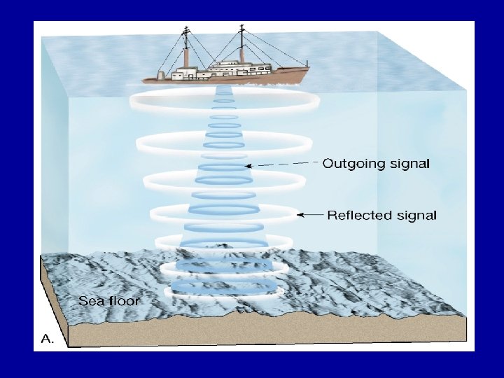
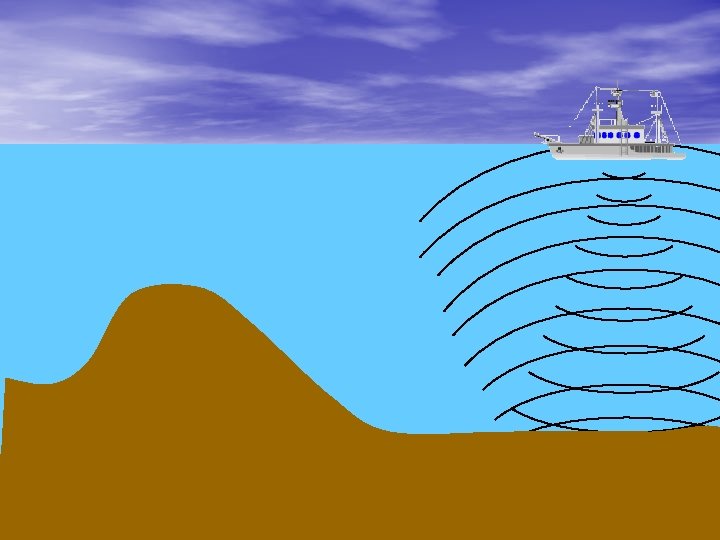
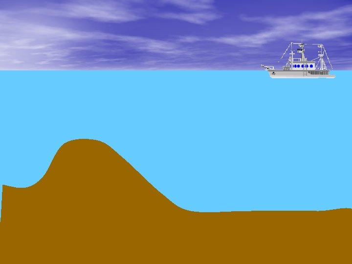
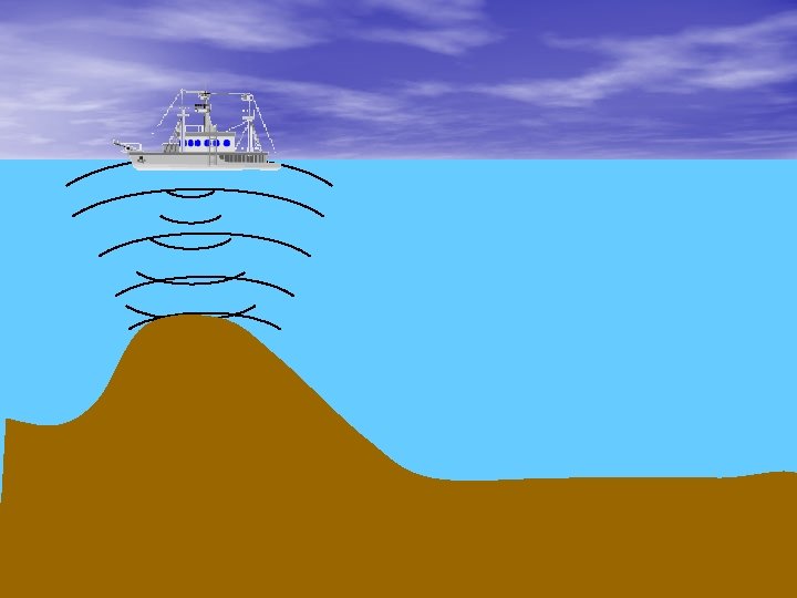
Revealing the Ocean Floor § Sonar (stands for Sound Navigation and Ranging) § Invented in the 1920 s § Primary instrument for measuring depth § Reflects sound from ocean floor
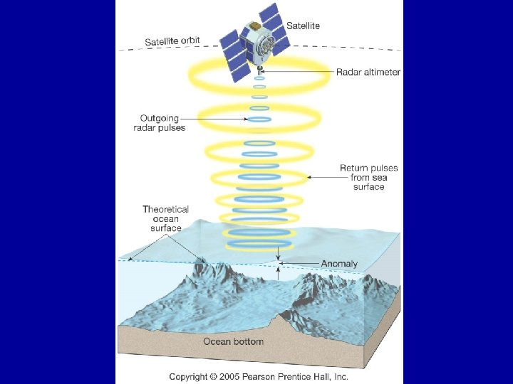
Revealing the Ocean Floor § Use of satellites for mapping § Employs satellites equipped with radar altimeters § Scientists are able to measure the direction and speed of ocean currents. § Measure the different heights of the ocean surface to make maps of ocean floor. § Can cover more territory using satellites rather than ship sonar.
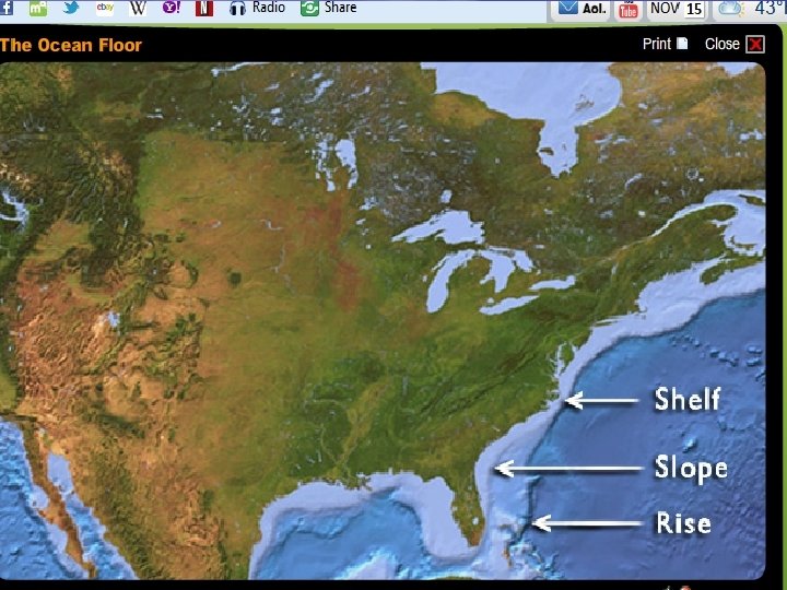
Continents Edge • Called the continental margin • Three parts –Continental shelf –Continental slope –Continental rise
Continental Shelf • Begins at the shoreline • Continues until it begins to slope more steeply downward • Depth can reach 200 meters • This is what you walk on at the beach.
Continental Slope • Begins at the edge of shelf and continues to flattest part of ocean floor • Depth ranges from 200 meters to 4000 meters • Continent ends at bottom of continental slope
Continental Rise • Slopes more gently • Made of sediments that come off the shelf • Like underwater avalanches of sediment and water
Abyssal Plain • Broad, flat portion of the deep-ocean floor. • Covered with mud and remains of marine organisms. • Average depth is 4, 000 meters
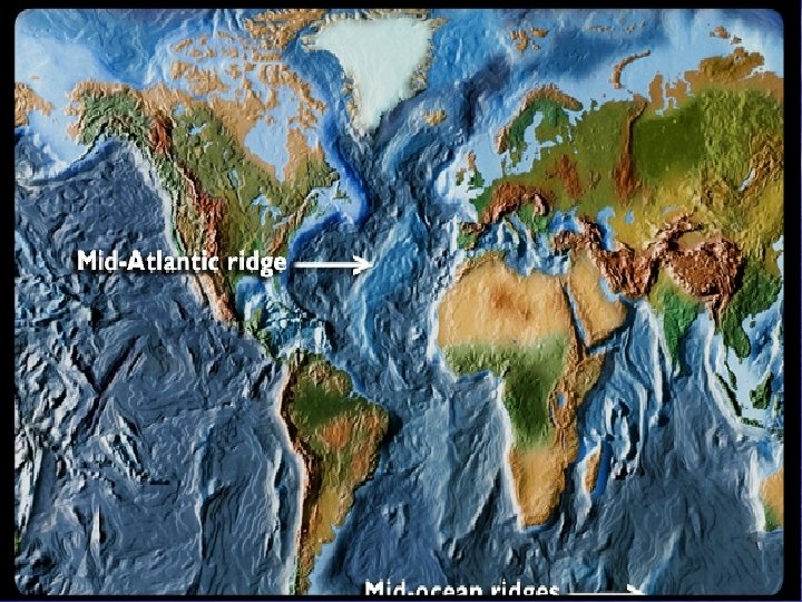
Mid-Ocean Ridges • Mountain chains formed where tectonic plates pull apart. • Pulling motion creates cracks in the crust called rift zones. • Rift Valley forms between mountains in the mid-ocean ridge.
Seamounts • Individual mountains of volcanic material. • If a seamount builds up above sea level, it becomes an island. • A guyot is a flat-topped seamount.
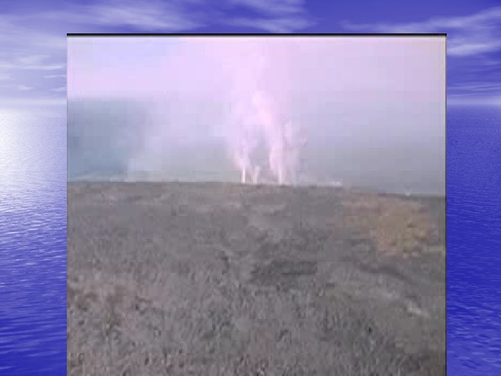
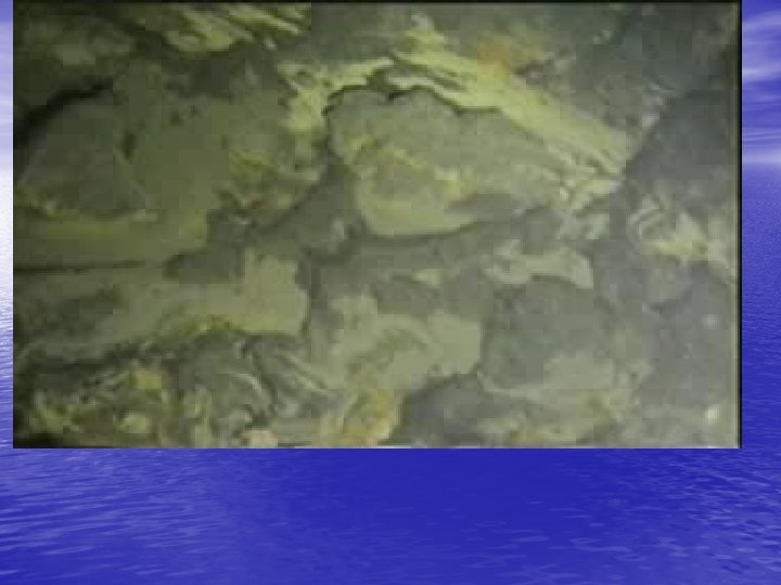
Actual footage of an erupting underwater volcano.
Ocean Trench • Seemingly bottomless cracks in the ocean basin. • Formed where one oceanic plate is forced underneath another plate. • Most famous: Marianas Trench