Nowcasting Applications Travis Smith Hazardous Weather Forecasts Warnings
- Slides: 11

Nowcasting Applications Travis Smith Hazardous Weather Forecasts & Warnings

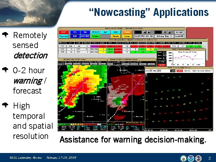
“Nowcasting” Applications W Remotely sensed detection W 0 -2 hour warning / forecast W High temporal and spatial resolution Assistance for warning decision-making. NSSL Laboratory Review February 17 -19, 2009 2

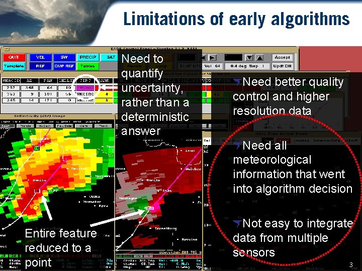
Limitations of early algorithms Need to quantify uncertainty, rather than a deterministic answer Need better quality control and higher resolution data Need all meteorological information that went into algorithm decision Entire feature reduced to a point Not easy to integrate data from multiple sensors 3

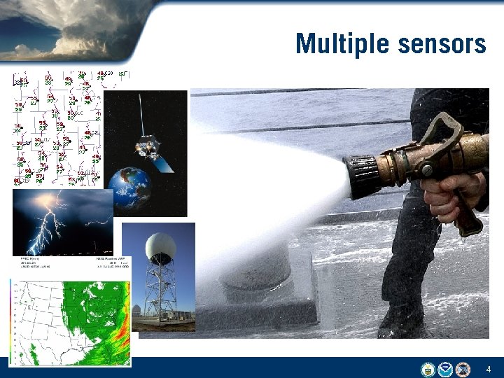
Multiple sensors 4

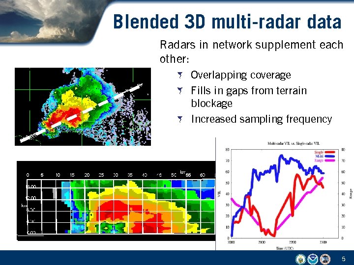
Blended 3 D multi-radar data Radars in network supplement each other: Overlapping coverage Fills in gaps from terrain blockage Increased sampling frequency 5

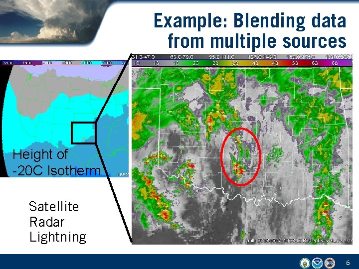
Example: Blending data from multiple sources Height of -20 C Isotherm Satellite Radar Lightning 6

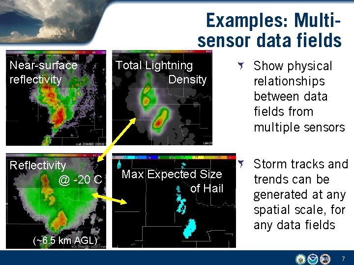
Examples: Multisensor data fields Near-surface reflectivity Reflectivity @ -20 C Total Lightning Density Max Expected Size of Hail Show physical relationships between data fields from multiple sensors Storm tracks and trends can be generated at any spatial scale, for any data fields (~6. 5 km AGL) 7

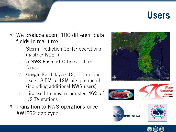
Users We produce about 100 different data fields in real-time Storm Prediction Center operations (& other NCEP) 5 NWS Forecast Offices – direct feeds Google Earth layer: 12, 000 unique users, 3. 5 M to 12 M hits per month (including additional NWS users) Licensed to private industry: 46% of US TV stations Transition to NWS operations once AWIPS 2 deployed 8

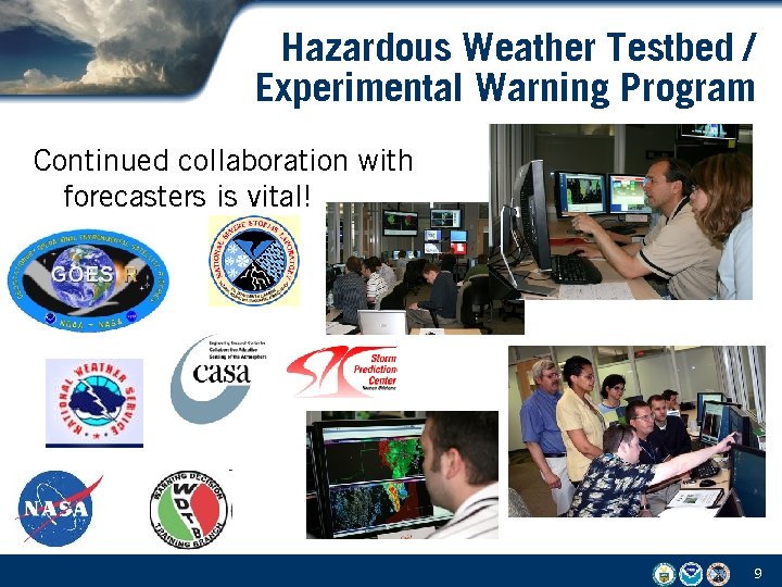
Hazardous Weather Testbed / Experimental Warning Program Continued collaboration with forecasters is vital! 9

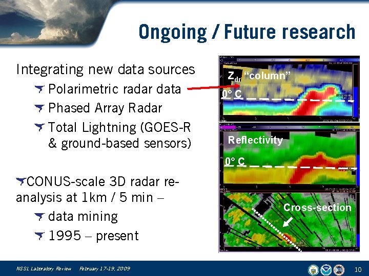
Ongoing / Future research Integrating new data sources Polarimetric radar data Phased Array Radar Total Lightning (GOES-R & ground-based sensors) Zdr “column” 0° C Reflectivity 0° C CONUS-scale 3 D radar reanalysis at 1 km / 5 min – data mining 1995 – present NSSL Laboratory Review February 17 -19, 2009 Cross-section 10

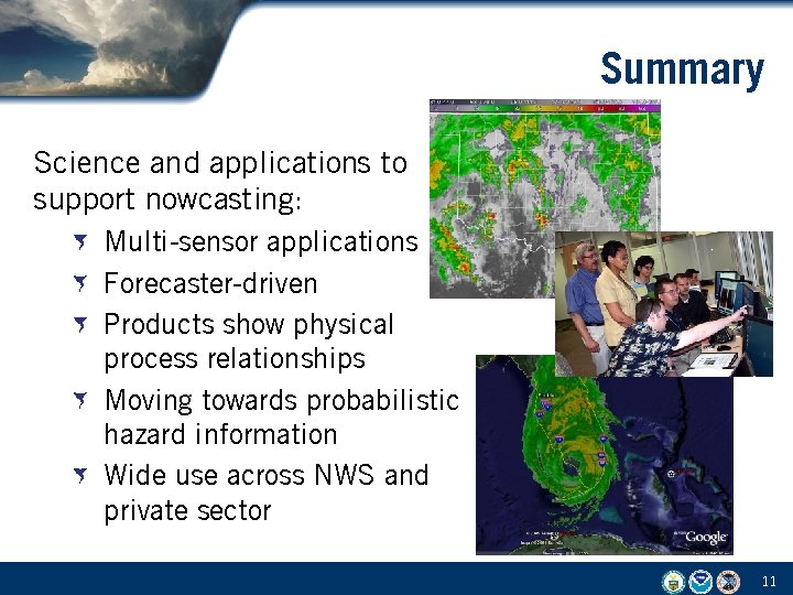
Summary Science and applications to support nowcasting: Multi-sensor applications Forecaster-driven Products show physical process relationships Moving towards probabilistic hazard information Wide use across NWS and private sector 11