
NOS SENTINEL SITES PROGRAM A CONCEPTUAL FRAMEWORK FOR
- Slides: 39
NOS SENTINEL SITES PROGRAM A CONCEPTUAL FRAMEWORK FOR ALIGNING NOS CAPABILITIES INTO A SUITE OF SERVICES TO ASSESS AND RESPOND TO CLIMATE CHANGE IMPACTS A SEA LEVEL RISE AND COASTAL INUNDATION EXAMPLE Sentinel Sites Program Working Group June 9, 2011
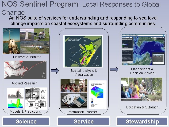
NOS Sentinel Program: Local Responses to Global Change An NOS suite of services for understanding and responding to sea level change impacts on coastal ecosystems and surrounding communities. Observe & Monitor Spatial Analysis & Visualization Management & Decision Making Applied Research Education & Outreach Models & Predictions Science Information Transfer Service Stewardship
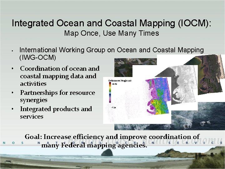
Integrated Ocean and Coastal Mapping (IOCM): Map Once, Use Many Times • International Working Group on Ocean and Coastal Mapping (IWG-OCM) • Coordination of ocean and coastal mapping data and activities • Partnerships for resource synergies • Integrated products and services Orthometric Height (m) 29. 19 -1. 34 Goal: Increase efficiency and improve coordination of many Federal mapping agencies.
Goal By concentrating geospatial infrastructure within and around biomonitoring stations and linking that infrastructure to a common reference frame through robust surveying methodology, we can enhance capacity to assess change and increase our confidence in our understanding of complex spatial relationships.
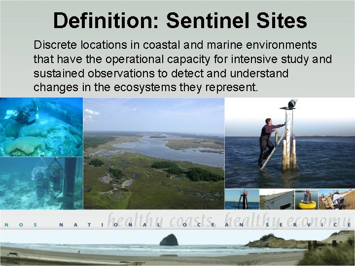
Definition: Sentinel Sites Discrete locations in coastal and marine environments that have the operational capacity for intensive study and sustained observations to detect and understand changes in the ecosystems they represent.
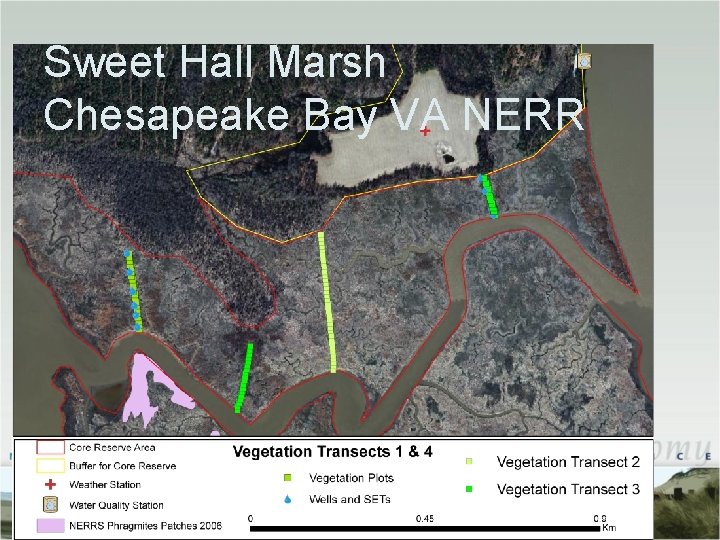
Sweet Hall Marsh Chesapeake Bay VA NERR
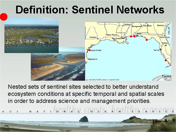
Definition: Sentinel Networks Nested sets of sentinel sites selected to better understand ecosystem conditions at specific temporal and spatial scales in order to address science and management priorities.
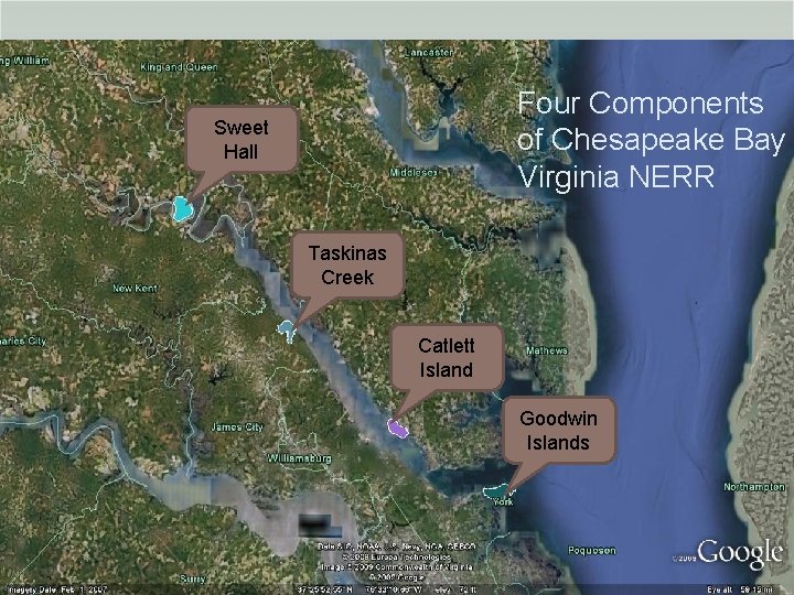
Sweet Hall Marsh Four Components Sweet Bay VA NERR Chesapeake of Chesapeake Bay Hall Virginia NERR Taskinas Creek Catlett Island Goodwin Islands
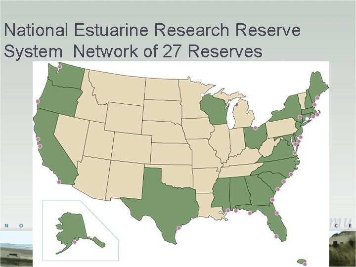
National Estuarine Research Reserve System Network of 27 Reserves
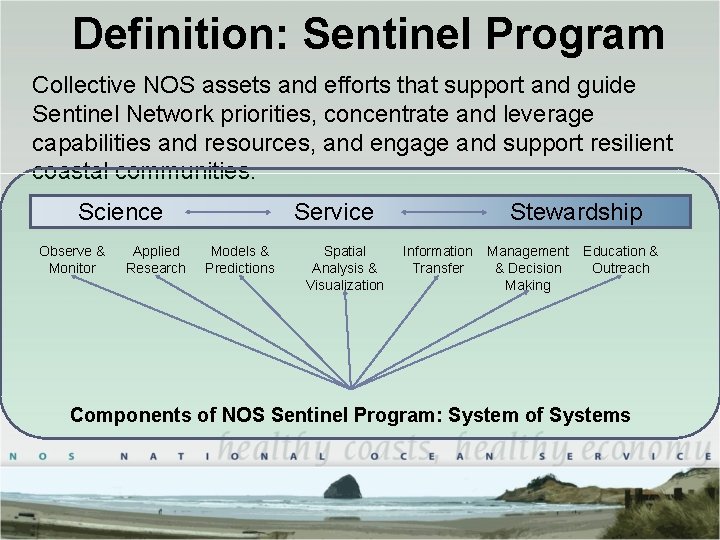
Definition: Sentinel Program Collective NOS assets and efforts that support and guide Sentinel Network priorities, concentrate and leverage capabilities and resources, and engage and support resilient coastal communities. Science Observe & Monitor Applied Research Service Models & Predictions Spatial Analysis & Visualization Stewardship Information Transfer Management & Decision Making Education & Outreach Components of NOS Sentinel Program: System of Systems
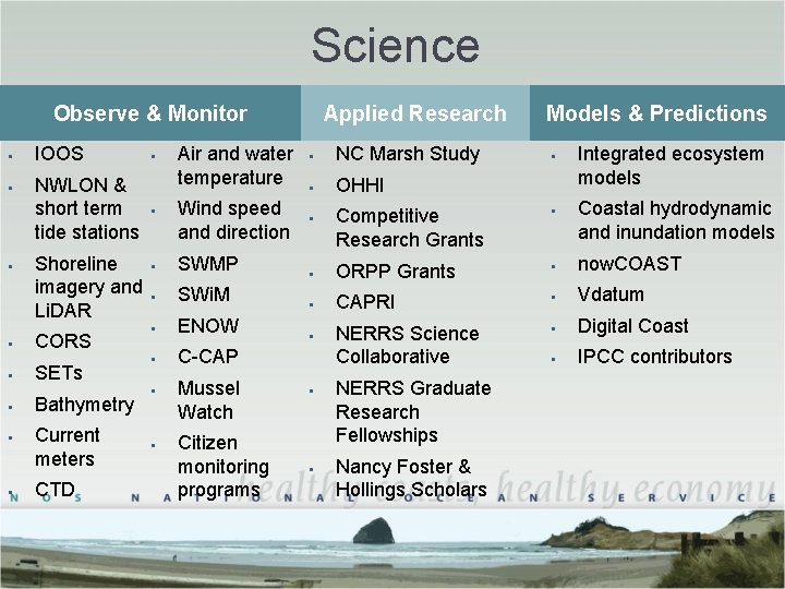
Science Observe & Monitor § § § IOOS NWLON & short term tide stations Shoreline imagery and Li. DAR § CORS § SETs § § § Bathymetry Current meters CTD § § Air and water temperature Wind speed and direction Applied Research § NC Marsh Study § OHHI § Models & Predictions § Competitive Research Grants § Integrated ecosystem models Coastal hydrodynamic and inundation models § SWMP § ORPP Grants § now. COAST § SWi. M § CAPRI § Vdatum § ENOW § § Digital Coast § C-CAP NERRS Science Collaborative § IPCC contributors § § Mussel Watch Citizen monitoring programs § § NERRS Graduate Research Fellowships Nancy Foster & Hollings Scholars
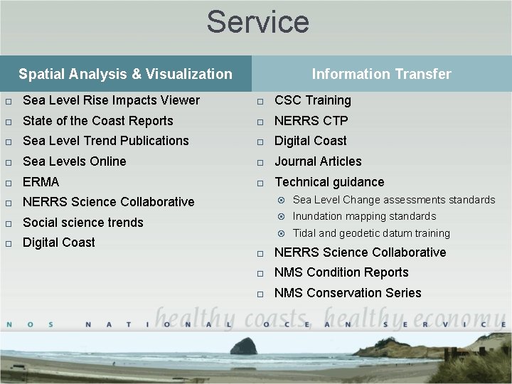
Service Spatial Analysis & Visualization Information Transfer Sea Level Rise Impacts Viewer CSC Training State of the Coast Reports NERRS CTP Sea Level Trend Publications Digital Coast Sea Levels Online Journal Articles ERMA Technical guidance NERRS Science Collaborative Sea Level Change assessments standards Social science trends Inundation mapping standards Digital Coast Tidal and geodetic datum training NERRS Science Collaborative NMS Condition Reports NMS Conservation Series
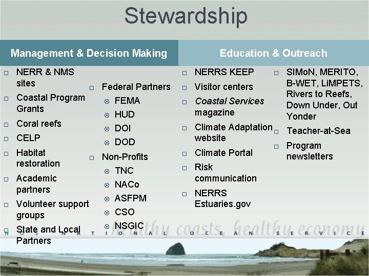
Stewardship Management & Decision Making NERR & NMS sites Coastal Program Grants Coral reefs CELP Habitat restoration Academic partners Volunteer support groups State and Local Partners Federal Partners FEMA HUD DOI DOD Education & Outreach NERRS KEEP Visitor centers Non-Profits TNC NACo ASFPM CSO NSGIC Coastal Services magazine SIMo. N, MERITO, B-WET, Li. MPETS, Rivers to Reefs, Down Under, Out Yonder Climate Adaptation Teacher-at-Sea website Program Climate Portal newsletters Risk communication NERRS Estuaries. gov
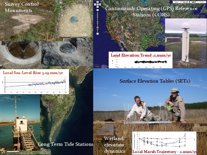
Survey Control Monuments Continuously Operating (GPS) Reference Stations (CORS) CORS/SETs/Tide Stations /Benchmarks Land Elevation Trend -1. 1 mm/yr Local Sea-Level Rise 3. 29 mm/yr Surface Elevation Tables (SETs) Long Term Tide Stations Wetland elevation dynamics Local Marsh Trajectory - 2. 1 mm/yr
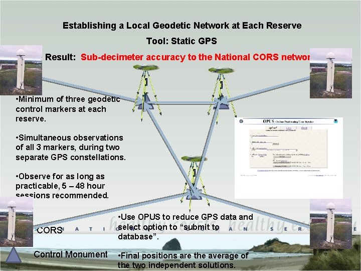
Establishing a Local Geodetic Network at Each Reserve Tool: Static GPS Result: Sub-decimeter accuracy to the National CORS network. • Minimum of three geodetic control markers at each reserve. • Simultaneous observations of all 3 markers, during two separate GPS constellations. • Observe for as long as practicable, 5 – 48 hour sessions recommended. CORS Control Monument • Use OPUS to reduce GPS data and select option to “submit to database”. • Final positions are the average of the two independent solutions.
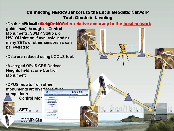
Connecting NERRS sensors to the Local Geodetic Network Tool: Geodetic Leveling Result: Sub-Centimeter relative accuracy to the local network • Double run level loop (per NGS guidelines) through all Control Monuments, SWMP Station, or NWLON station if available, and as many SETs or other sensors as can be leveled to. • Data are reduced using LOCUS tool. • Averaged OPUS GPS Derived Heights held at one Control Monument. • OPUS results from other monuments archived for future comparison. Control Monument SET SWMP Station
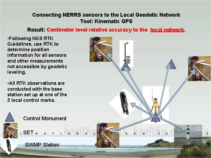
Connecting NERRS sensors to the Local Geodetic Network Tool: Kinematic GPS Result: Centimeter level relative accuracy to the local network. • Following NGS RTK Guidelines, use RTK to determine position information for all sensors and other measurements not accessible by geodetic leveling. • All RTK observations are conducted with the base station set up at one of the 3 local control marks. Control Monument SET SWMP Station
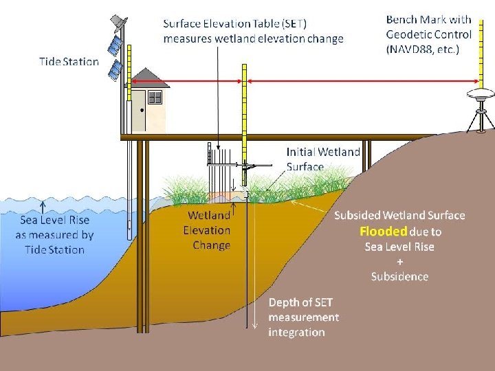
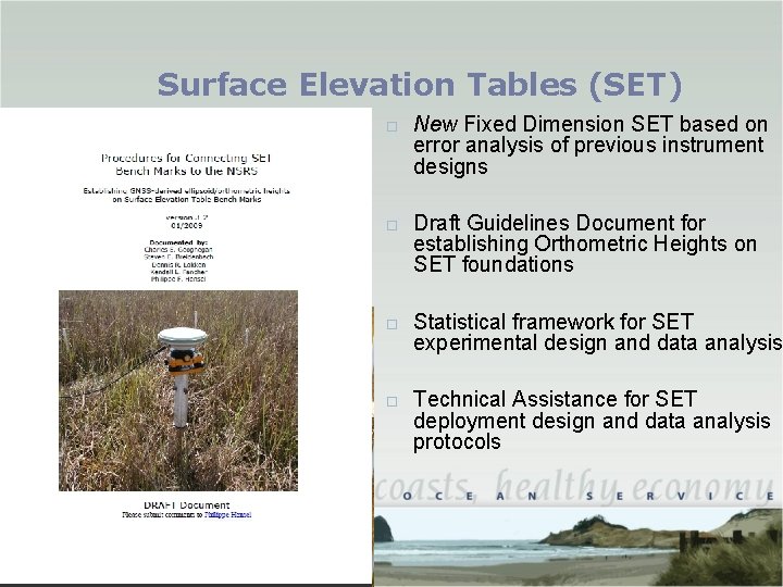
Surface Elevation Tables (SET) New Fixed Dimension SET based on error analysis of previous instrument designs Draft Guidelines Document for establishing Orthometric Heights on SET foundations Statistical framework for SET experimental design and data analysis Technical Assistance for SET deployment design and data analysis protocols
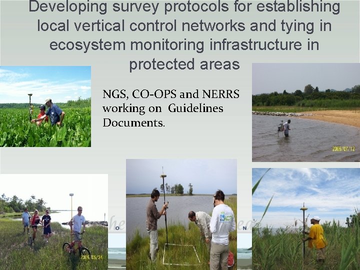
Developing survey protocols for establishing local vertical control networks and tying in ecosystem monitoring infrastructure in protected areas NGS, CO-OPS and NERRS working on Guidelines Documents.
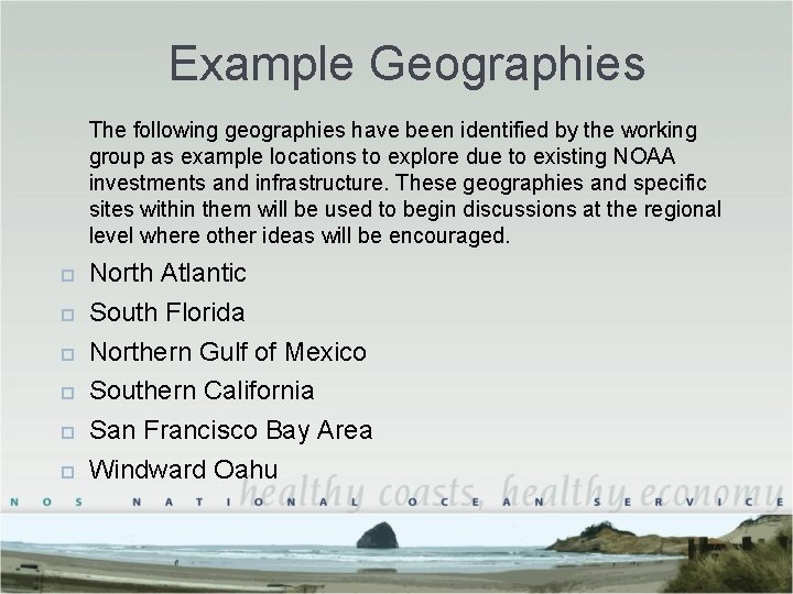
Example Geographies The following geographies have been identified by the working group as example locations to explore due to existing NOAA investments and infrastructure. These geographies and specific sites within them will be used to begin discussions at the regional level where other ideas will be encouraged. North Atlantic South Florida Northern Gulf of Mexico Southern California San Francisco Bay Area Windward Oahu
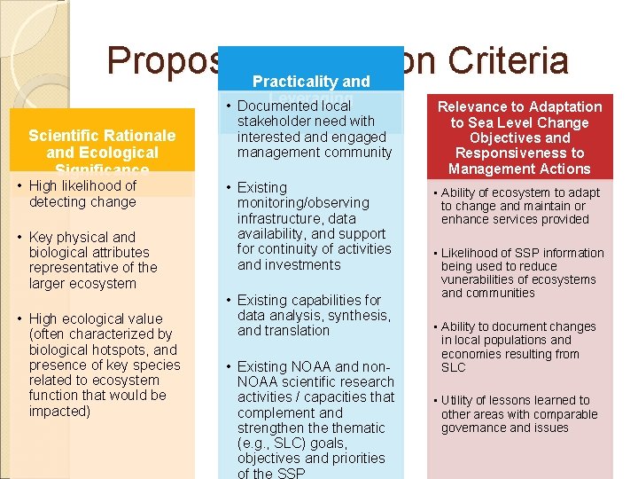
Proposed. Practicality Selection Criteria and Scientific Rationale and Ecological Significance • High likelihood of detecting change • Key physical and biological attributes representative of the larger ecosystem • High ecological value (often characterized by biological hotspots, and presence of key species related to ecosystem function that would be impacted) Leveraging • Documented local stakeholder need with interested and engaged management community • Existing monitoring/observing infrastructure, data availability, and support for continuity of activities and investments • Existing capabilities for data analysis, synthesis, and translation • Existing NOAA and non. NOAA scientific research activities / capacities that complement and strengthen thematic (e. g. , SLC) goals, objectives and priorities of the SSP Relevance to Adaptation to Sea Level Change Objectives and Responsiveness to Management Actions • Ability of ecosystem to adapt to change and maintain or enhance services provided • Likelihood of SSP information being used to reduce vunerabilities of ecosystems and communities • Ability to document changes in local populations and economies resulting from SLC • Utility of lessons learned to other areas with comparable governance and issues
QUESTIONS?
Back Up Slides Screen shots for Google Earth Tour
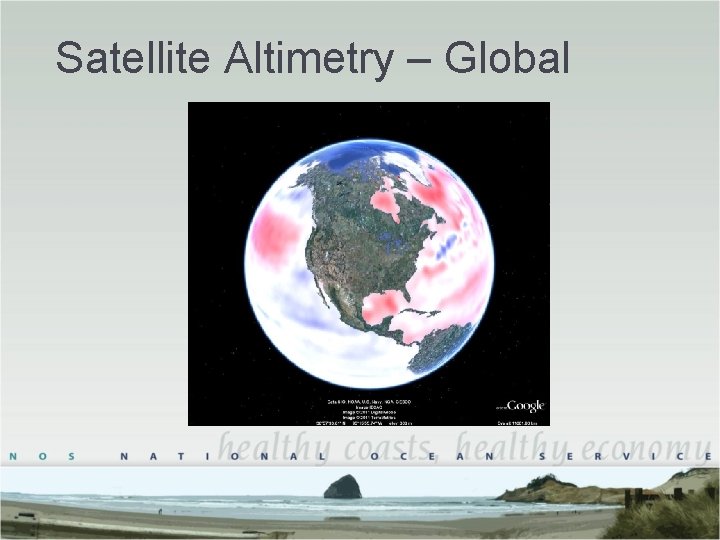
Satellite Altimetry – Global
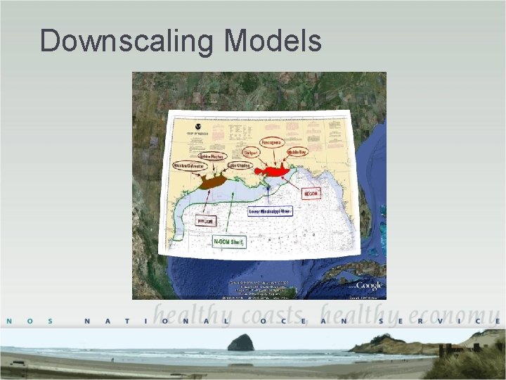
Downscaling Models
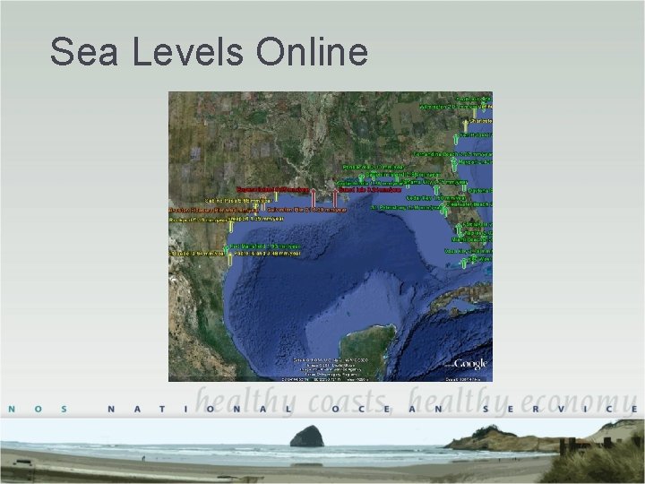
Sea Levels Online
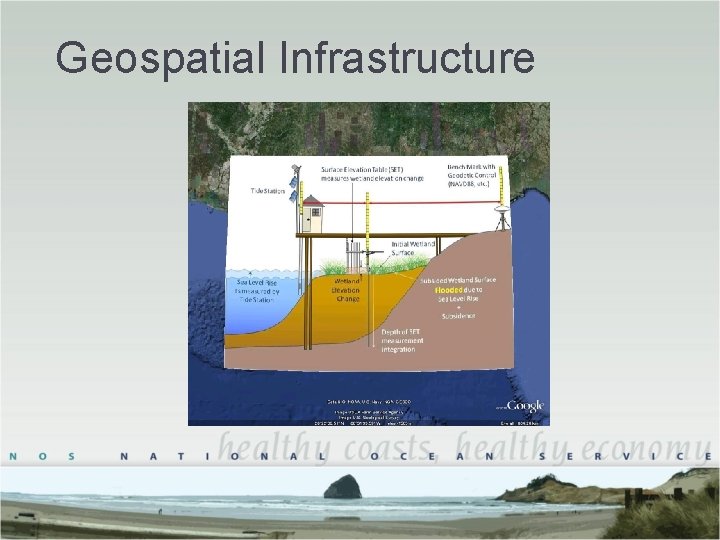
Geospatial Infrastructure
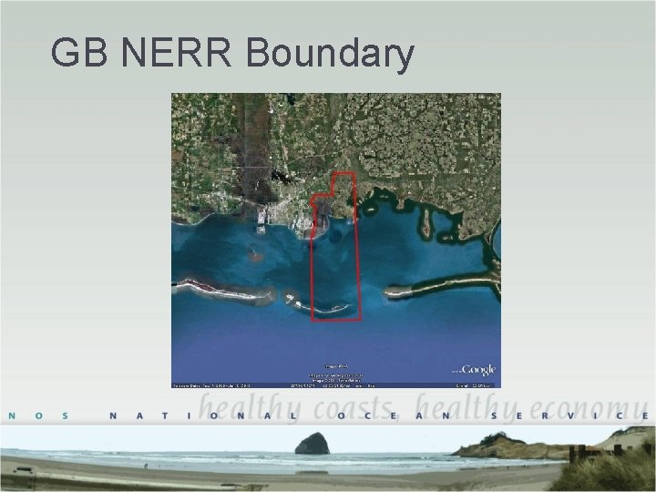
GB NERR Boundary
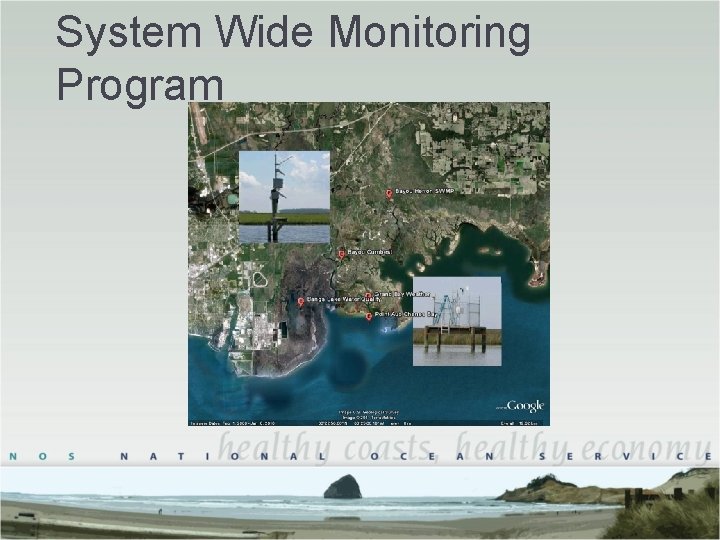
System Wide Monitoring Program
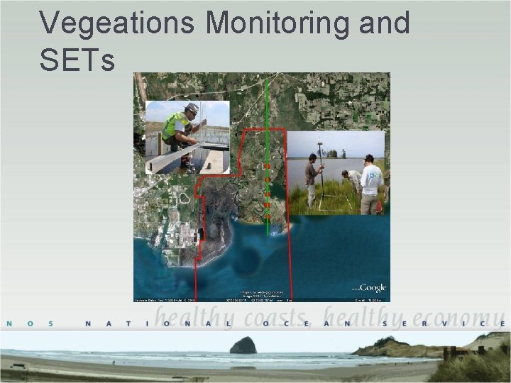
Vegeations Monitoring and SETs
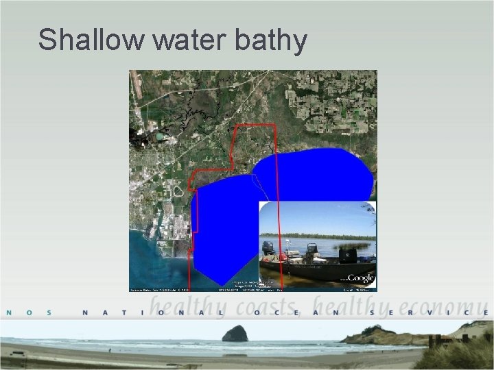
Shallow water bathy
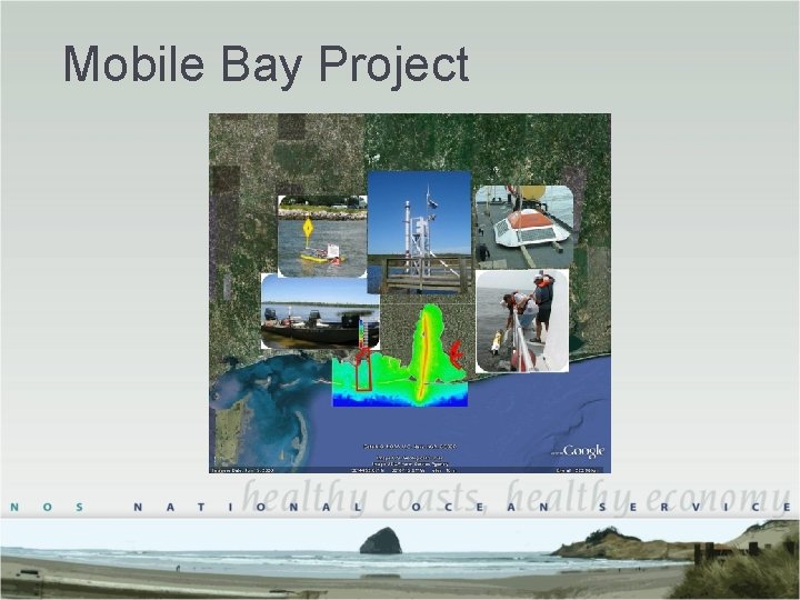
Mobile Bay Project
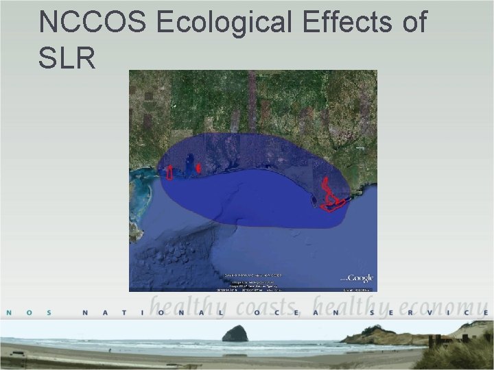
NCCOS Ecological Effects of SLR
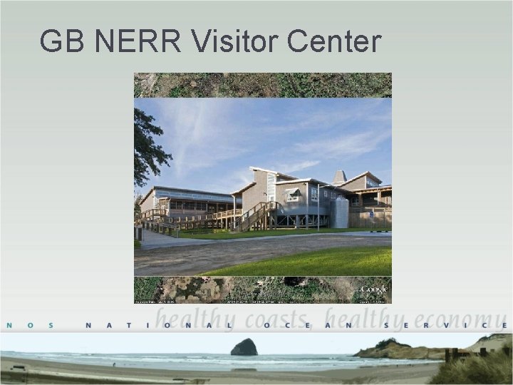
GB NERR Visitor Center
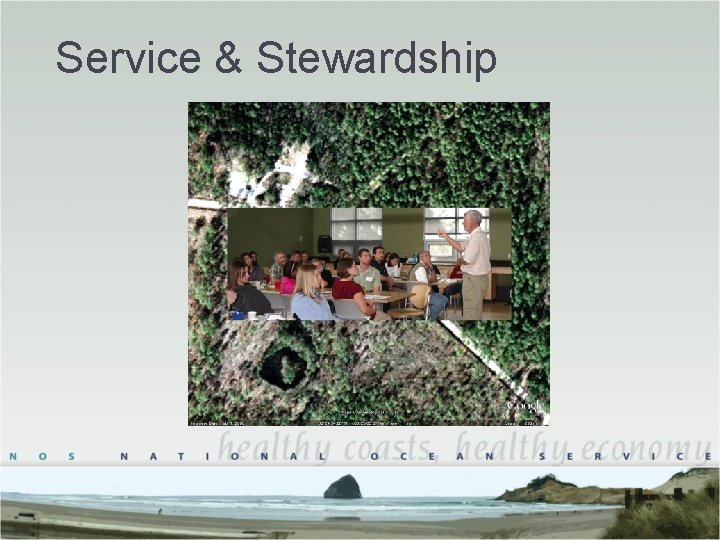
Service & Stewardship
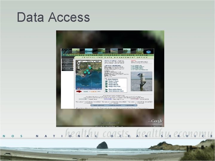
Data Access
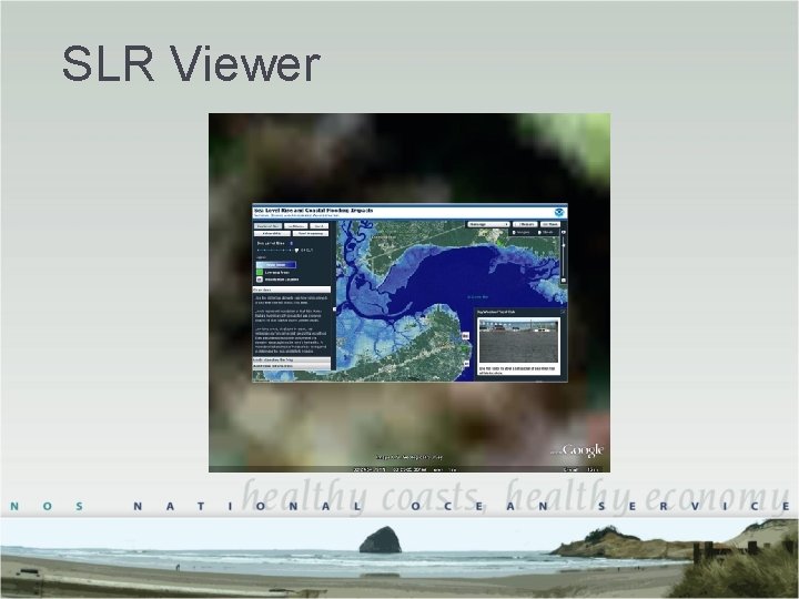
SLR Viewer
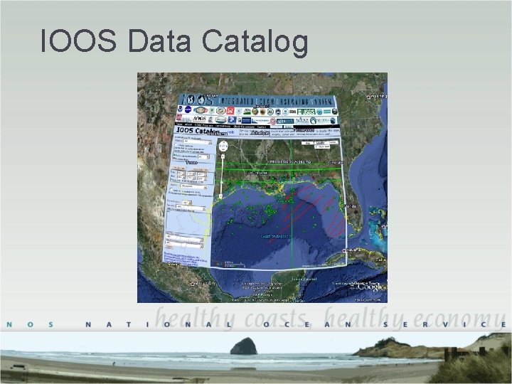
IOOS Data Catalog