North Africa and Southwest Asia Middle East Crossroads


- Slides: 2

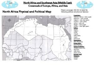
North Africa and Southwest Asia (Middle East): Crossroads of Europe, Africa, and Asia North Africa Physical and Political Map Please use pages 430 -431 to label the following political and physical features: Countries: • Western Sahara –color purple • Morocco – color orange • Algeria – color dark green • Tunisia – color yellow • Libya – color red • Egypt – color purple • Sudan – color light green Cities: • Rabat • Algiers • Tunis • Tripoli • Alexandria • Cairo • Khartoum Mountains: Atlas Mountains Peninsulas: Sinai Peninsula Water Features: • Mediterranean Sea • Red Sea • Nile River • Suez Canal Deserts and Steppes: • Sahara • Sahel

North Africa and Southwest Asia (Middle East): Crossroads of Europe, Africa, and Asia Using pages 430 -431 label the following political and physical features: Southwest Asia Physical Map Southwest Asia Political Map . . Water Features (11 Total): • Bosporus Strait • Red Sea • Dardanelles Strait • Black Sea • Tigris River • Arabian Sea • Euphrates River • Persian/Arabian Gulf • Jordan River • Mediterranean Sea • Strait of Hormuz (connects Arabian Sea & Persian Gulf) Mountain Ranges: • Taurus Mtns -Zagros Mtns Countries (15 Total): Cities: • Saudi Arabia –color yellow • Bahrain – -Baghdad • Turkeycolor blue • Iraq- color purple - Istanbul • Syria –color yellow - Jerusalem • Kuwait – color green • Cyprus-color red • Qatar – color blue - Mecca • Lebanon • Yemen – color red - Tehran • Israel –color purple • Oman – color purple • Jordan – color orange • Iran – color red • United Arab Emirates – color orange


