
Ngorongoro Conservation Area Springs of Life By Lori

Ngorongoro Conservation Area: Springs of Life By Lori A. Swanson University of Pennsylvania Master of Environmental Studies Thesis December 2006
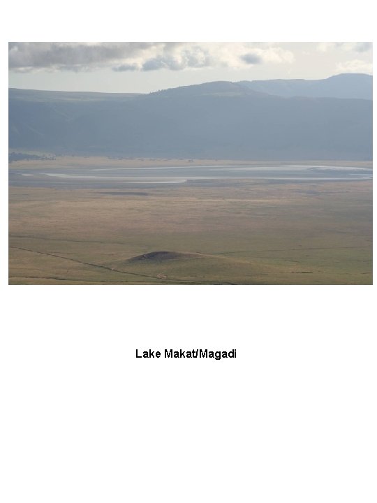
Lake Makat/Magadi
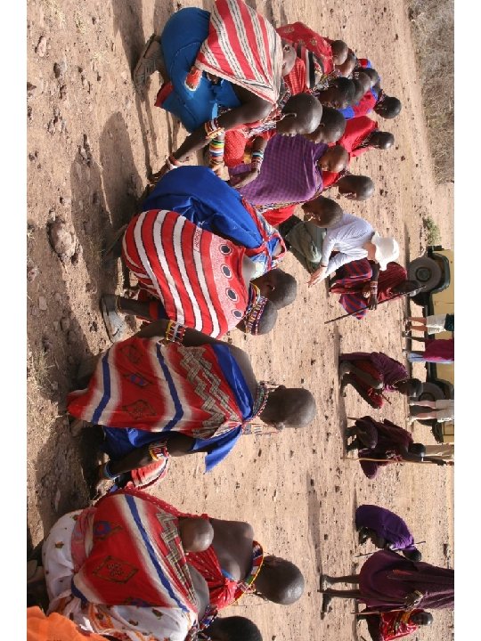
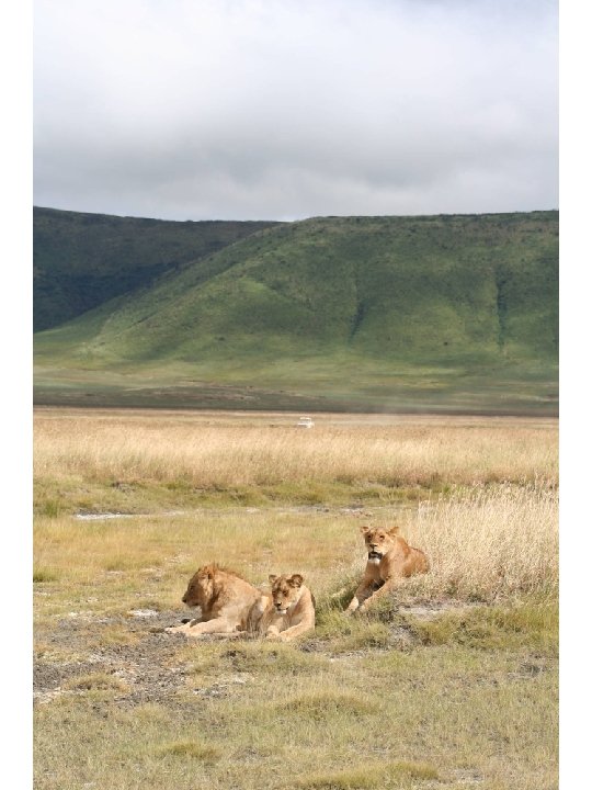
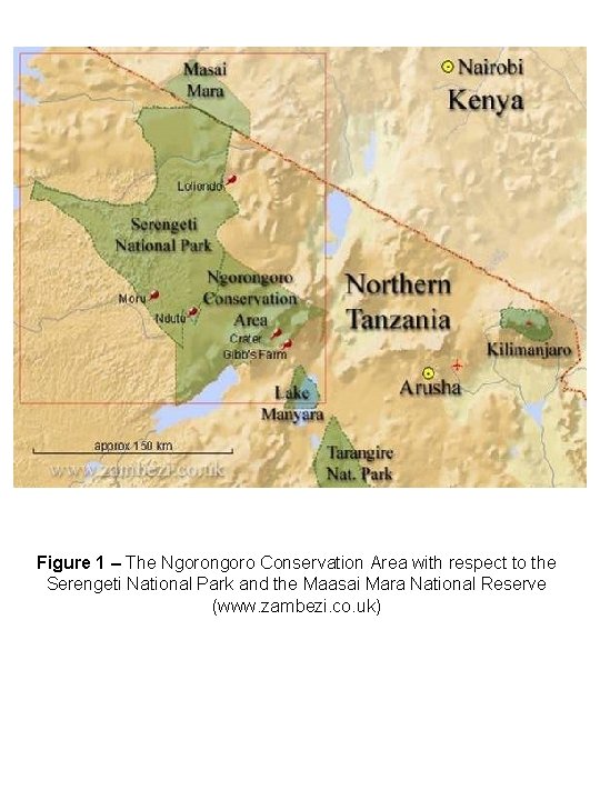
Figure 1 – The Ngorongoro Conservation Area with respect to the Serengeti National Park and the Maasai Mara National Reserve (www. zambezi. co. uk)
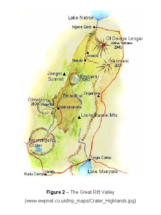
Figure 2 – The Great Rift Valley (www. ewpnet. co. uk/trip_maps/Crater_Highlands. jpg)
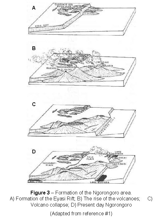
A B C D Figure 3 – Formation of the Ngorongoro area. A) Formation of the Eyasi Rift; B) The rise of the volcanoes; Volcano collapse; D) Present day Ngorongoro (Adapted from reference #1) C)
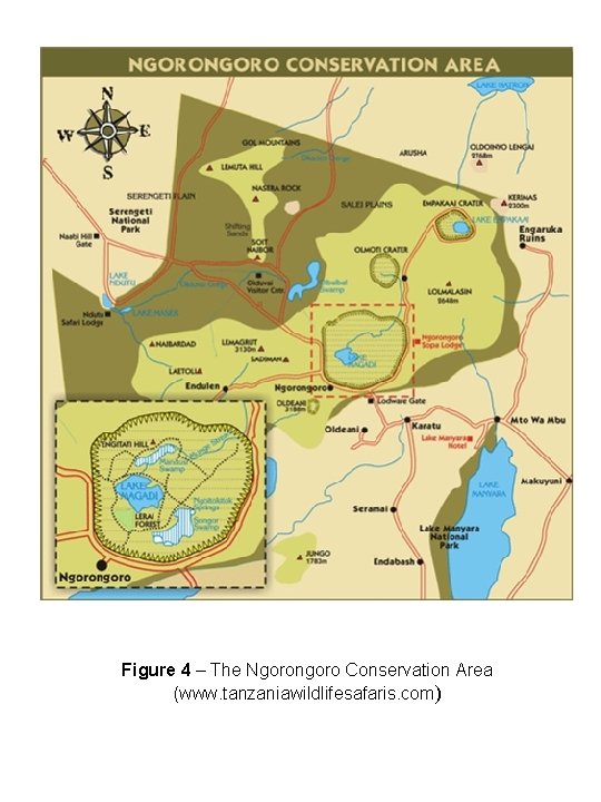
Figure 4 – The Ngorongoro Conservation Area (www. tanzaniawildlifesafaris. com)
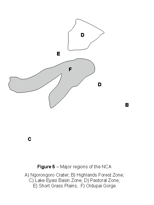
D E F D A C Figure 5 – Major regions of the NCA A) Ngorongoro Crater; B) Highlands Forest Zone; C) Lake Eyasi Basin Zone; D) Pastoral Zone; E) Short Grass Plains; F) Oldupai Gorge B
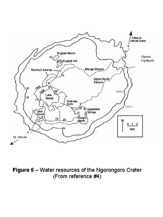
Figure 6 – Water resources of the Ngorongoro Crater (From reference #4)
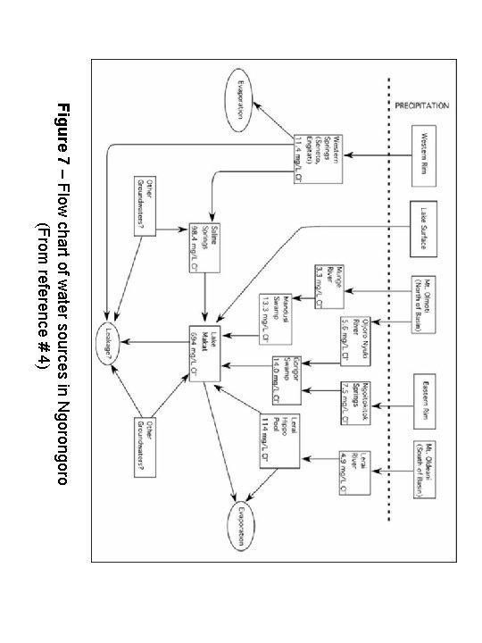
Figure 7 – Flow chart of water sources in Ngorongoro (From reference # 4)
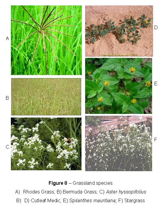
D A E B F C Figure 8 – Grassland species A) Rhodes Grass; B) Bermuda Grass; C) Aster hyssopifolius B) D) Cutleaf Medic; E) Spilanthes mauritiana; F) Stargrass
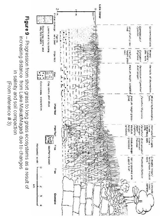
Figure 9 – Progression from short grass to long grass ecosystems as a result of increasing distance from Lake Makat/Magadi due to changes in salinity and soil compaction (From reference # 3)
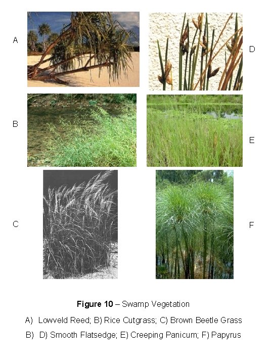
A D B E C F Figure 10 – Swamp Vegetation A) Lowveld Reed; B) Rice Cutgrass; C) Brown Beetle Grass B) D) Smooth Flatsedge; E) Creeping Panicum; F) Papyrus
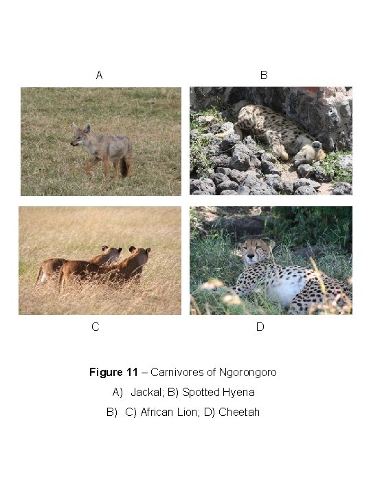
A B C D Figure 11 – Carnivores of Ngorongoro A) Jackal; B) Spotted Hyena B) C) African Lion; D) Cheetah
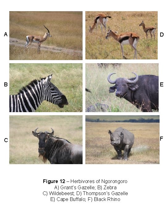
A D B E C F Figure 12 – Herbivores of Ngorongoro A) Grant’s Gazelle; B) Zebra C) Wildebeest; D) Thompson’s Gazelle E) Cape Buffalo; F) Black Rhino
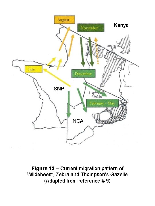
Kenya SNP NCA Figure 13 – Current migration pattern of Wildebeest, Zebra and Thompson’s Gazelle (Adapted from reference # 9)
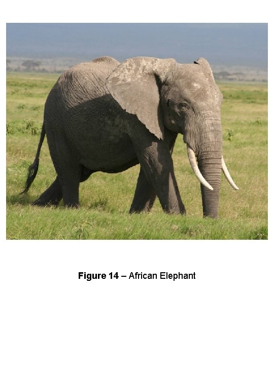
Figure 14 – African Elephant
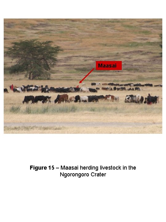
Maasai Figure 15 – Maasai herding livestock in the Ngorongoro Crater
Figure 16 – Human population growth in the NCA
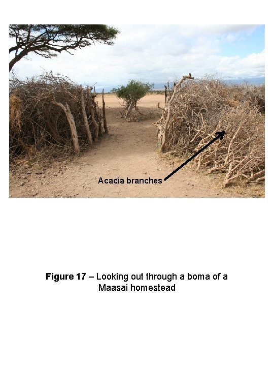
Acacia branches Figure 17 – Looking out through a boma of a Maasai homestead
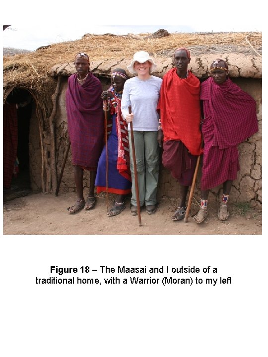
Figure 18 – The Maasai and I outside of a traditional home, with a Warrior (Moran) to my left
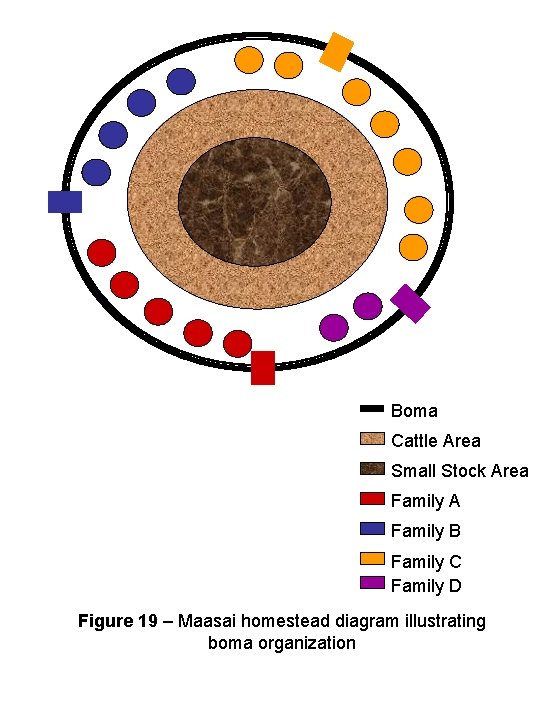
Boma Cattle Area Small Stock Area Family A Family B Family C Family D Figure 19 – Maasai homestead diagram illustrating boma organization
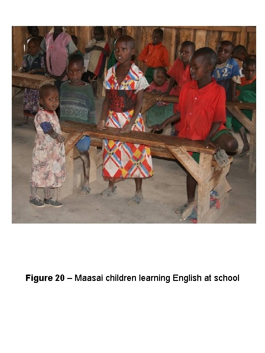
Figure 20 – Maasai children learning English at school
Figure 21 – Livestock population growth in the NCA
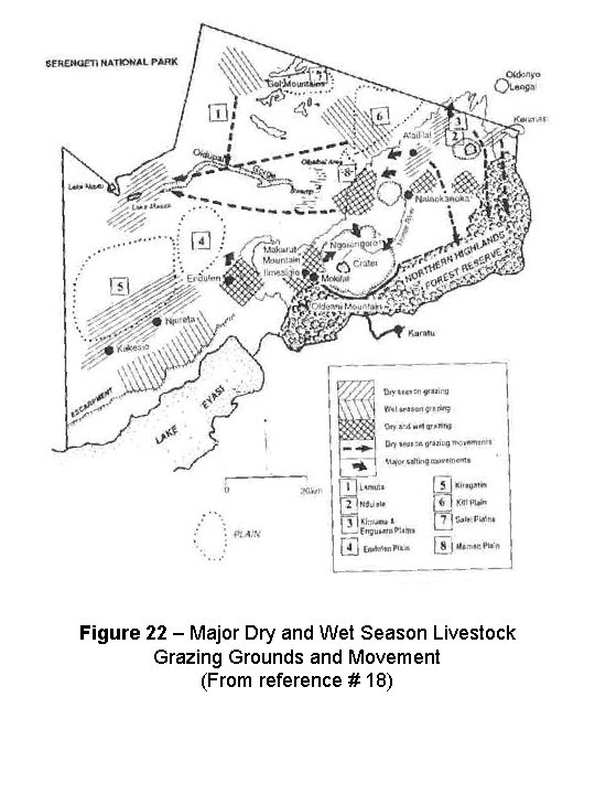
Figure 22 – Major Dry and Wet Season Livestock Grazing Grounds and Movement (From reference # 18)
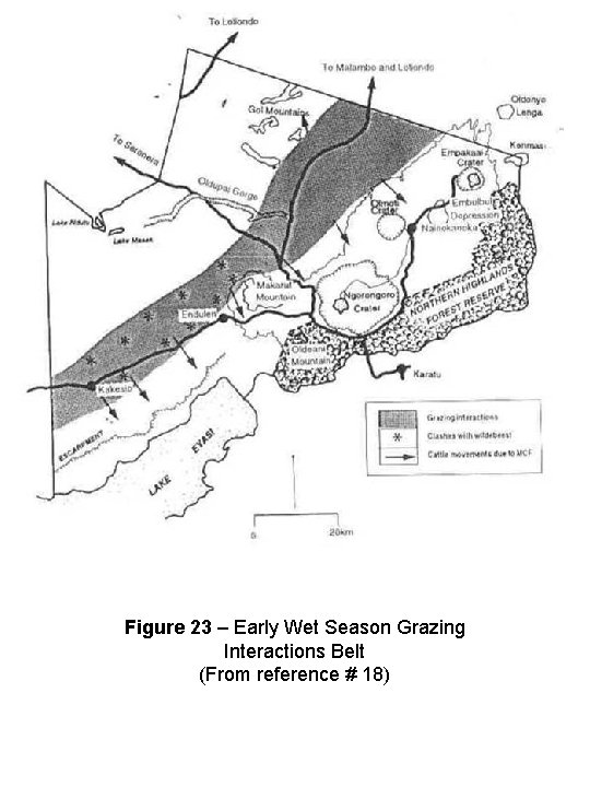
Figure 23 – Early Wet Season Grazing Interactions Belt (From reference # 18)
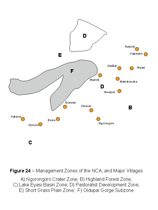
D Naiyobi Kapenjiro E Alaililai Bulad F Meshili Mainoka D Irkeepus Enduien Oloirobi A B Kakesio Esere Osinoni Ngorongoro C Figure 24 – Management Zones of the NCA, and Major Villages A) Ngorongoro Crater Zone; B) Highland Forest Zone; C) Lake Eyasi Basin Zone; D) Pastoralist Development Zone; E) Short Grass Plain Zone; F) Oldupai Gorge Subzone
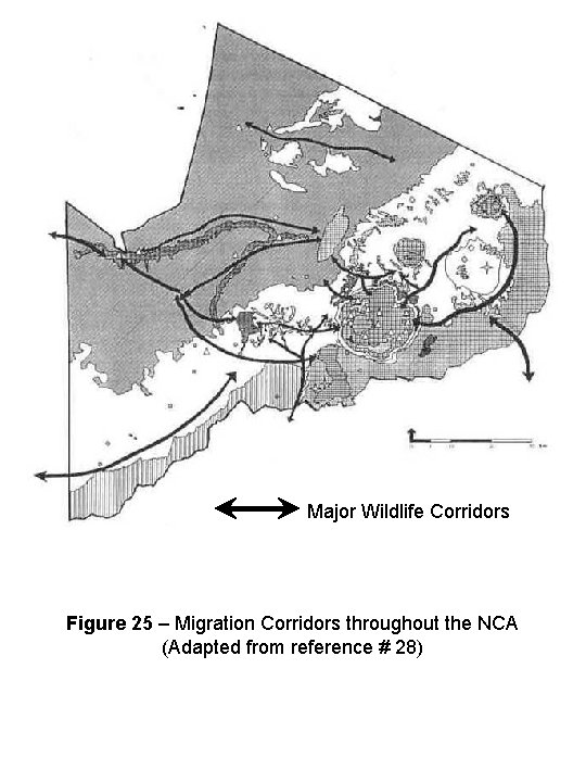
Major Wildlife Corridors Figure 25 – Migration Corridors throughout the NCA (Adapted from reference # 28)
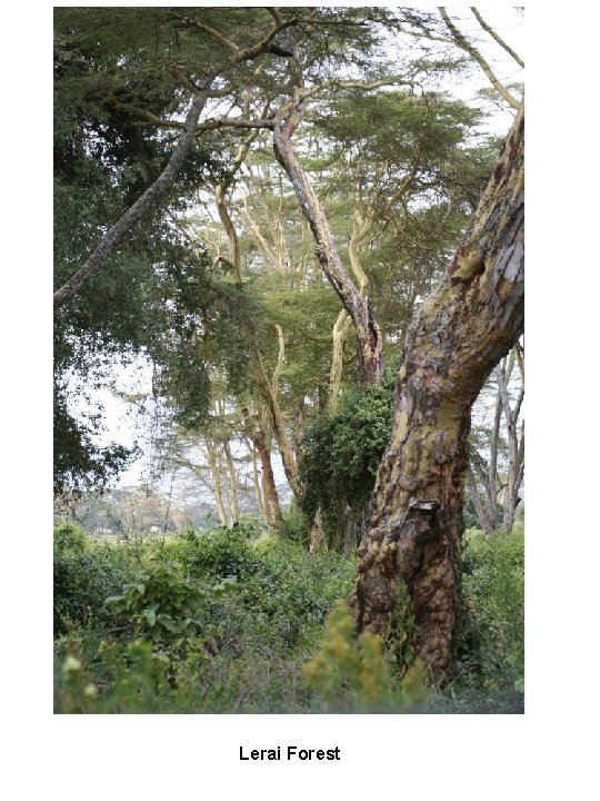
Lerai Forest
- Slides: 33