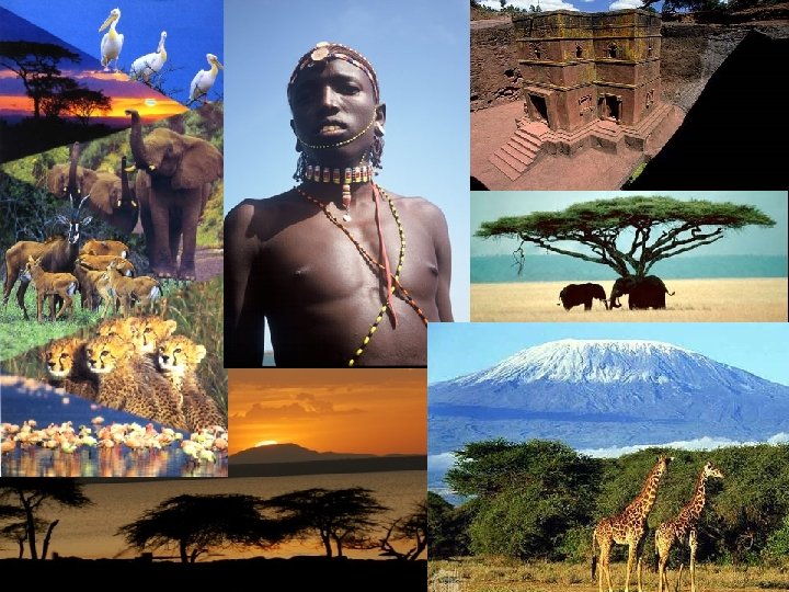
Natural Environments of Africa CHAPTER 21 North Africa


")


- Slides: 35
Natural Environments of Africa
CHAPTER 21 North Africa Section 1: Natural Environments 3
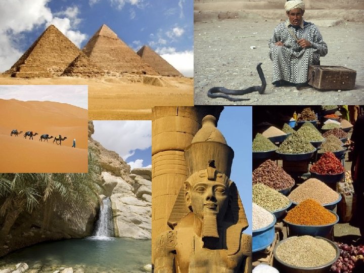
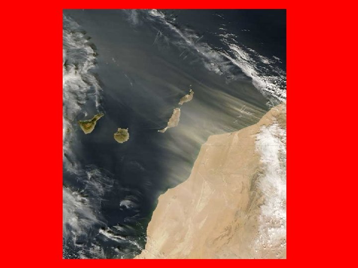
The Sahara • Biggest desert in the world • One of the harshest regions on earth, however people have adapted to living in this hot, arid region. • Most people live near a desert oasis.
The Desert Environment • 3 main types of landforms in the Sahara • Ergs are great seas of sand with tall sand dunes (can rise over 400 ft. ) • Regs are gravel-covered plains • Hammadas are high, rockcovered flatlands (some are so tall that maps show them as mountains)
Adaptations to Life in the Desert • Many desert nomads belong to a group called the Taureg • Taureg are able to identify landmarks and use the stars to find their way
The Oasis Environment • Some oases are natural – many created by springs that bubble up to the surface from streams underground Oasis in Libya • Drilling machines are now being used to dig deep into the ground to locate hidden water
Adaptations to Life in the Oasis Bahariya Oasis in Egypt • Most oasis settlements are small (fewer than 2000 people) • Trading and farming are the main economic activities – most are subsistence farmers • Growing oasis towns face 2 kinds of water problems: 1) how to get water to people as town expands, and 2) water shortages Gaberoun Lake in in the Libyan Sahara
The Nile • The world’s longest river – made up of 2 main branches: White Nile (longest branch) and Blue Nile • Ethiopia Highlands is the source of the Blue Nile and Lake Victoria in Uganda is the source of the White Nile
The Nile Through the Desert: Wadis and Dams • Nile Flows into Lake Nasser. It’s not a natural lake but a reservoir (one of the largest in the world) formed in 1970 with creation of Aswan High Dam • The dam was built for 2 main reasons – hydroelectricity and control the river’s flow (prevent massive flooding) • Negative effects of Aswan High Dam – (1) thousands of people had to move when Lake Nasser was formed b/c their homes were covered by water, (2) also the dam traps most of the rich silt that used to flow to the Egyptian farmlands – result is less fertile farmlands downstream
Aswan High Dam, Egypt
CHAPTER 22 West and Central Africa Section 1: Natural Environments 13
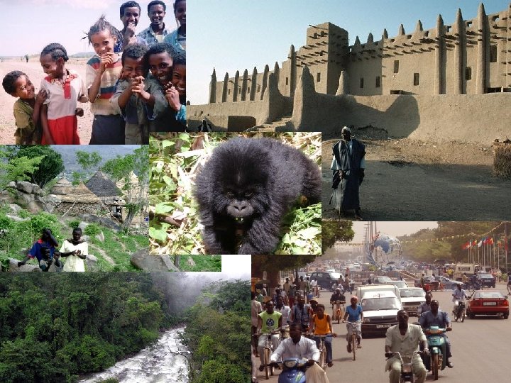
• Plains and low hills make up most of the landscapes of West and Central Africa. • All of West and Central Africa lies within the tropics, so most areas are warm throughout the year. • Environments range from the arid Sahel in the north to the Tropical Environments of the Congo Basin.
The Congo and the Niger are 2 of Africa’s major rivers.
• Along the southern edge of the Sahara is a region of semiarid climate called the Sahel. • The vegetation of the Sahel includes scattered trees, shrubs, and grasses. • The Sahel often suffers from drought.
• The Sahel is being overrun by the Sahara through a process known as desertification. Three main causes of desertification 1. Drought 2. Overgrazing 3. Deforestation
Congo River Basin is a Large Rainforest (largest in Africa)
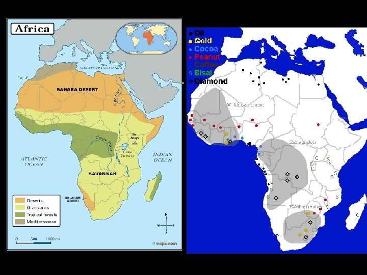
• West and Central Africa have a wide variety of natural resources such as tropical timber, good soils for farming, and many different minerals. • The most valuable energy resource in the region is oil, particularly in Nigeria. • West Africa is the world’s major source of cocoa beans because of it’s climate.
Shantytowns provide labor for the oil industry Oil creates many environmental hazards in Nigeria – oil spills and oil fires are all too common
CHAPTER 23 East Africa Section 1: Natural environments 23
Section 1 Natural Environments Landforms in East Africa have been shaped by tectonic forces. • The Great Rift Valley—a series of geological faults—is divided in Western and Eastern branches. • Lakes have formed in the rifts—Lake Tanganyika, Lake Victoria, Lake Turkana • Volcanoes have erupted within or near the rifts— highlands of Ethiopia, Mt. Kilimanjaro. • Nile River begins in East Africa at two sources. 24
Section 1 Natural Environments Climates, biomes, and resources: • highland elevations produce cooler climates, more rainfall, and thicker forests. • Farther north and south, seasonal droughts are common; vegetation is limited animal life threatened. • Tsetse fly permits survival of native animal species by making livestock raising difficult. • Resources are limited; most important are rich highland soils (for farming) and scenic beauty (for tourism). 25
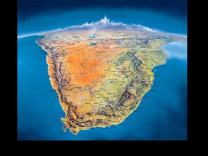
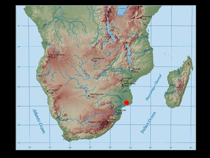
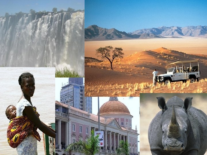
CHAPTER 24 Southern Africa Section 1: Natural Environments Angola 27
• Along Southern Africa’s coastline is a narrow coastal plain and a high plateau lies farther inland. • Veld-Grasslands area of South Africa • The Namib Desert & The Kalahari Desert • The Drakensburg is main mountain range • Madagascar is known for its biodiversity, particularly the region of eastern Madagascar. • The Orange and Zambezi Rivers are 2 of the most important rivers of the region.
• Tropical wet and dry and semiarid climates are found in much of Southern Africa.
• The plants in the Namib Desert get water from dew and fog rather than rain. • Further inland, however, the Kalahari desert receives a little rain. Some Palm trees and other plants are able to survive here.
Main Natural Resources and Energy • • • Gold Platinum Copper Diamonds Coal (used to generate electricity) Hydroelectricity (b/c of the many rivers)
White Rhino Napping Penguins in South Africa