
National Mapping Center of Lithuania UAB Aerogeodezijos institutas
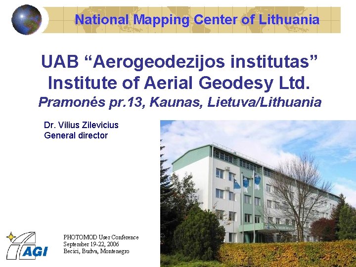
National Mapping Center of Lithuania UAB “Aerogeodezijos institutas” Institute of Aerial Geodesy Ltd. Pramonės pr. 13, Kaunas, Lietuva/Lithuania Dr. Vilius Zilevicius General director PHOTOMOD User Conference September 19 -22, 2006 Becici, Budva, Montenegro
Established 1950 General Facts 1950 -70 – Western Branch of All-Union Enterprise “Aerial Photos for Agriculture” 1970 -91 – Western Branch of All-Soviet Union Institute of Aerophoto Research for Purposes of Agriculture 1991 -1996 – National Institute of Aerial Photo Geodesy (IAG) 1996 - Institute of Aerial Geodesy Ltd. (AGI) ~150 employees (Winter 2005/06) Equipment: Photogrametry: analytical and digital photogrammetry Cartography: mono-digitizing, mapping, database creation Surveying: GPS, total stations Printing: proof printing PHOTOMOD User Conference September 19 -22, 2006 Becici, Budva, Montenegro
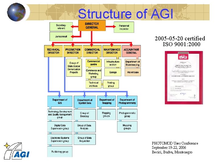
Structure of AGI 2005 -05 -20 certified ISO 9001: 2000 PHOTOMOD User Conference September 19 -22, 2006 Becici, Budva, Montenegro
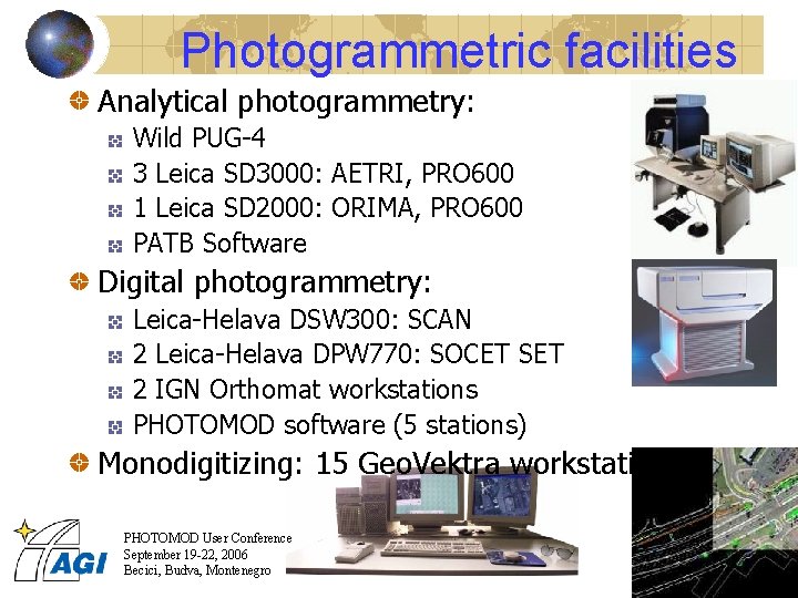
Photogrammetric facilities Analytical photogrammetry: Wild PUG-4 3 Leica SD 3000: AETRI, PRO 600 1 Leica SD 2000: ORIMA, PRO 600 PATB Software Digital photogrammetry: Leica-Helava DSW 300: SCAN 2 Leica-Helava DPW 770: SOCET SET 2 IGN Orthomat workstations PHOTOMOD software (5 stations) Monodigitizing: 15 Geo. Vektra workstations PHOTOMOD User Conference September 19 -22, 2006 Becici, Budva, Montenegro
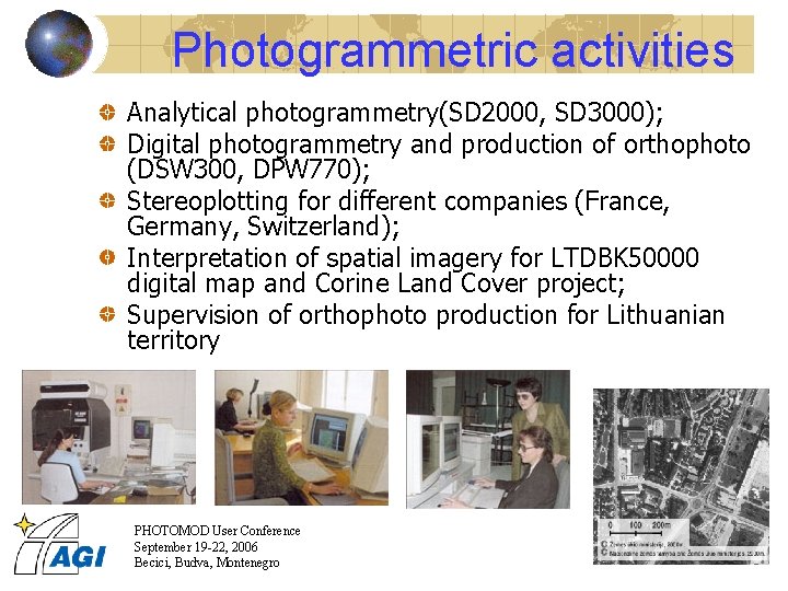
Photogrammetric activities Analytical photogrammetry(SD 2000, SD 3000); Digital photogrammetry and production of orthophoto (DSW 300, DPW 770); Stereoplotting for different companies (France, Germany, Switzerland); Interpretation of spatial imagery for LTDBK 50000 digital map and Corine Land Cover project; Supervision of orthophoto production for Lithuanian territory PHOTOMOD User Conference September 19 -22, 2006 Becici, Budva, Montenegro
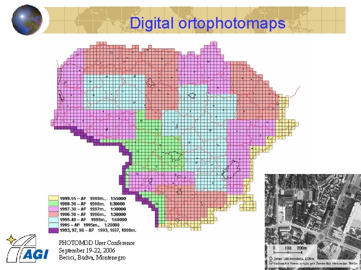
Digital ortophotomaps PHOTOMOD User Conference September 19 -22, 2006 Becici, Budva, Montenegro
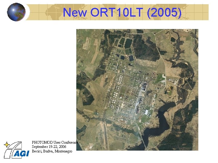
New ORT 10 LT (2005) PHOTOMOD User Conference September 19 -22, 2006 Becici, Budva, Montenegro
Database driven cartography Production of GIS-oriented cartographic data Based on ESRI compatible software Arc. Info™, Arc. View™, Geo. Vektra in use, PLTS in implementation Best technical solution at ESRI European User Conference, Florence’ 1998 Award “Special Achievement in GIS” at ESRI International User Conference, San Diego’ 1999 PHOTOMOD User Conference September 19 -22, 2006 Becici, Budva, Montenegro
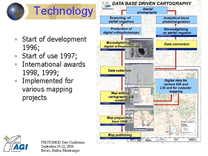
Technology • Start of development 1996; • Start of use 1997; • International awards 1998, 1999; • Implemented for various mapping projects PHOTOMOD User Conference September 19 -22, 2006 Becici, Budva, Montenegro
KDB 10 LT Midi level – standard topographic map according specification Mikro level - hydrography, roads, railroads, place names, geodetic network used with orthophoto background GDB - data for Land Parcel block interpretation PHOTOMOD User Conference September 19 -22, 2006 Becici, Budva, Montenegro
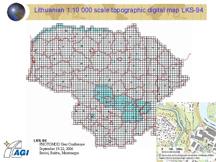
Lithuanian 1: 10 000 scale topographic digital map LKS-94 PHOTOMOD User Conference September 19 -22, 2006 Becici, Budva, Montenegro
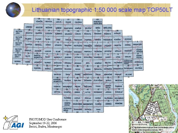
Lithuanian topographic 1: 50 000 scale map TOP 50 LT PHOTOMOD User Conference September 19 -22, 2006 Becici, Budva, Montenegro
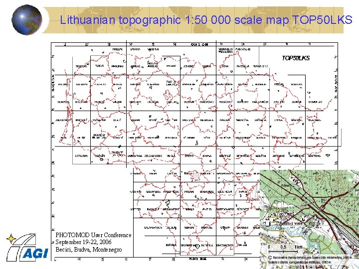
Lithuanian topographic 1: 50 000 scale map TOP 50 LKS PHOTOMOD User Conference September 19 -22, 2006 Becici, Budva, Montenegro
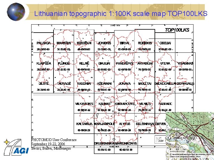
Lithuanian topographic 1: 100 K scale map TOP 100 LKS PHOTOMOD User Conference September 19 -22, 2006 Becici, Budva, Montenegro
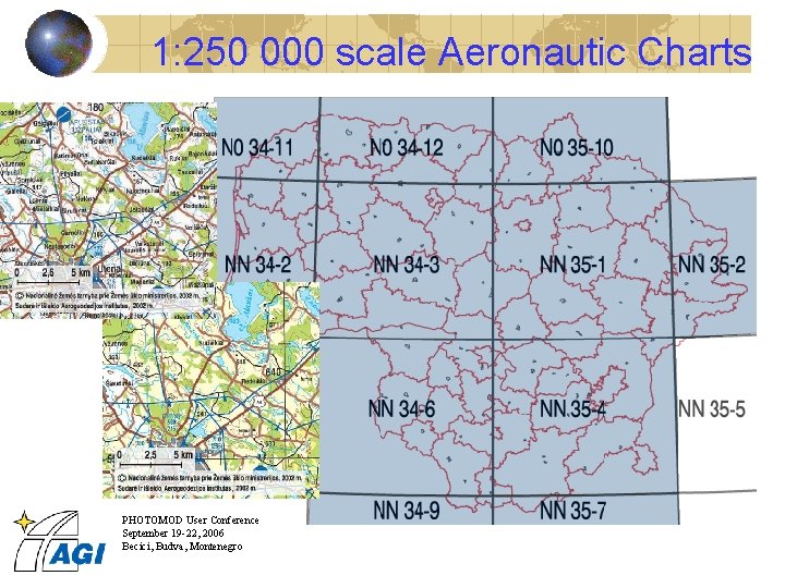
1: 250 000 scale Aeronautic Charts PHOTOMOD User Conference September 19 -22, 2006 Becici, Budva, Montenegro
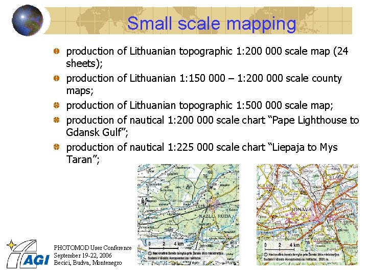
Small scale mapping production of Lithuanian topographic 1: 200 000 scale map (24 sheets); production of Lithuanian 1: 150 000 – 1: 200 000 scale county maps; production of Lithuanian topographic 1: 500 000 scale map; production of nautical 1: 200 000 scale chart “Pape Lighthouse to Gdansk Gulf”; production of nautical 1: 225 000 scale chart “Liepaja to Mys Taran”; PHOTOMOD User Conference September 19 -22, 2006 Becici, Budva, Montenegro
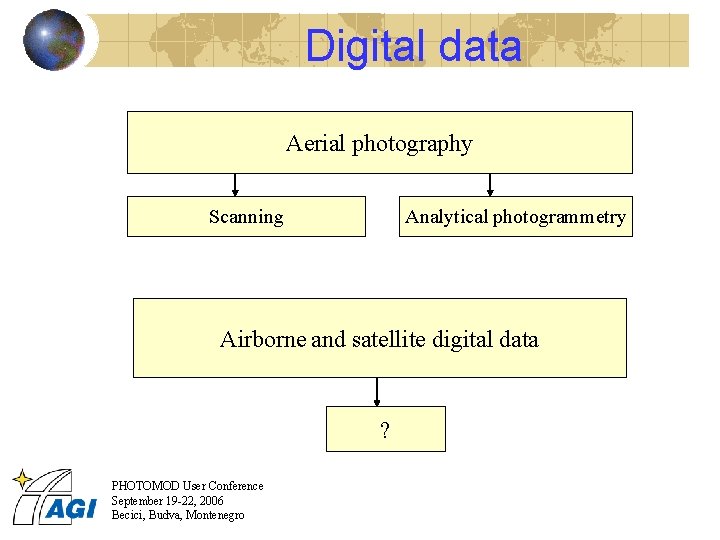
Digital data Aerial photography Scanning Analytical photogrammetry Airborne and satellite digital data ? PHOTOMOD User Conference September 19 -22, 2006 Becici, Budva, Montenegro
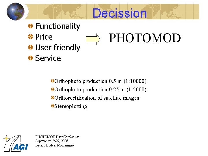
Decission Functionality Price User friendly Service PHOTOMOD Orthophoto production 0. 5 m (1: 10000) Orthophoto production 0. 25 m (1: 5000) Orthorectification of satellite images Stereoplotting PHOTOMOD User Conference September 19 -22, 2006 Becici, Budva, Montenegro

Thank you! www. agi. lt info@agi. lt PHOTOMOD User Conference September 19 -22, 2006 Becici, Budva, Montenegro
- Slides: 19