
Monostatic Vessel Detection from the CODAR Sea Sonde

- Slides: 31
Monostatic Vessel Detection from the CODAR Sea. Sonde Collin Dobson, Kristen Holenstein, Michael Smith, Hugh Roarty, Scott Glenn Chad Whelan, Donald E. Barrick, James Issacson
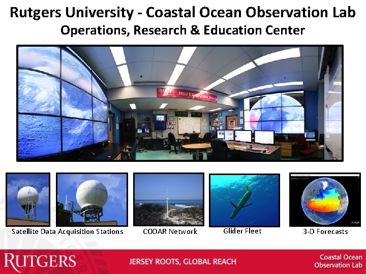
Rutgers University - Coastal Ocean Observation Lab Operations, Research & Education Center Vessels Satellite Data Acquisition Stations CODAR Network Satellite CODAR Ships/ Vessels Glider REMUS Data Vis. Modeling Security Leadership Education Glider Fleet 3 -D Forecasts
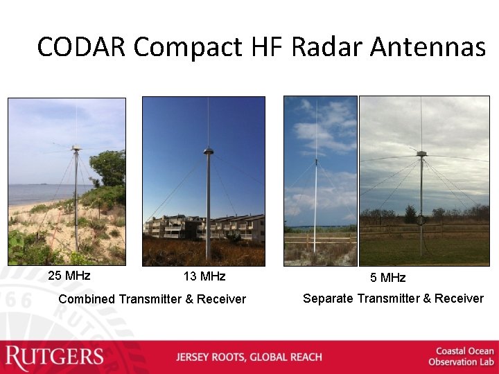
CODAR Compact HF Radar Antennas 25 MHz 13 MHz Combined Transmitter & Receiver 5 MHz Separate Transmitter & Receiver
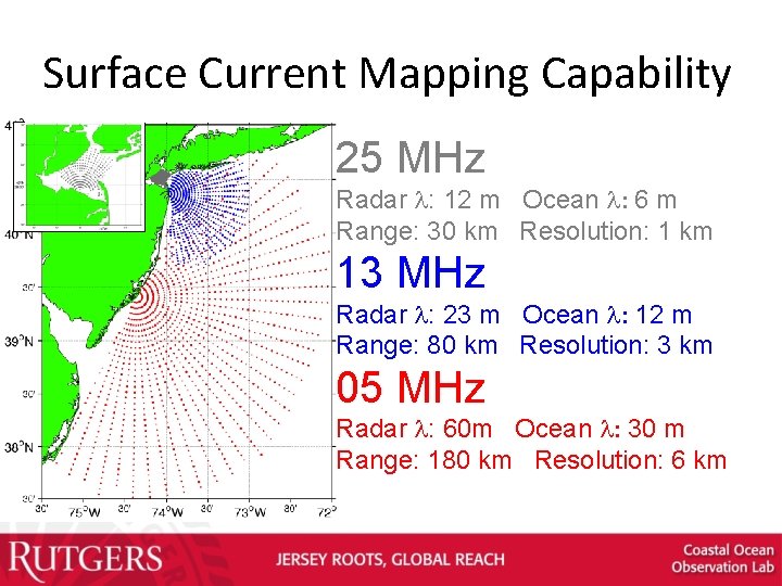
Surface Current Mapping Capability 25 MHz Radar l: 12 m Ocean l: 6 m Range: 30 km Resolution: 1 km 13 MHz Radar l: 23 m Ocean l: 12 m Range: 80 km Resolution: 3 km 05 MHz Radar l: 60 m Ocean l: 30 m Range: 180 km Resolution: 6 km
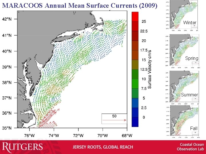
MARACOOS Annual Mean Surface Currents (2009) Winter Spring Summer Fall
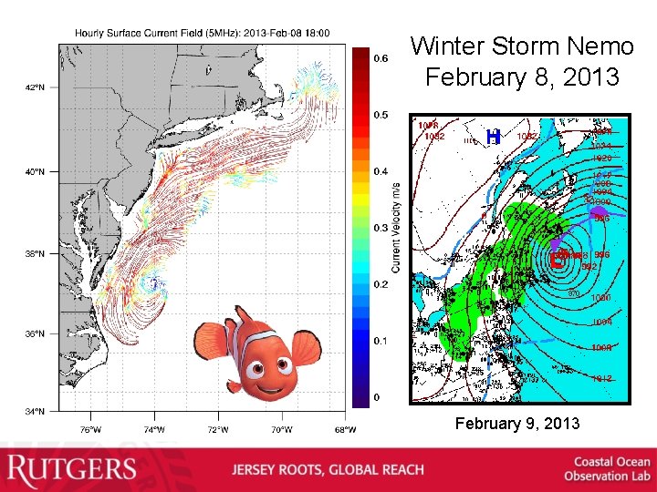
Winter Storm Nemo February 8, 2013 February 9, 2013
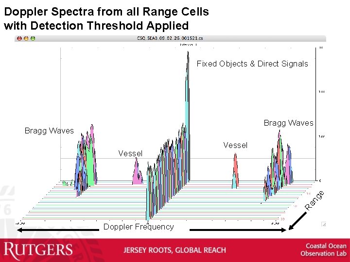
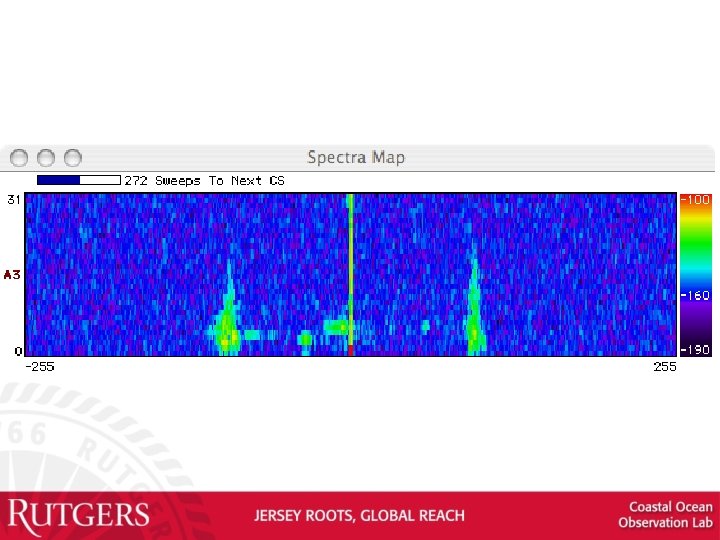
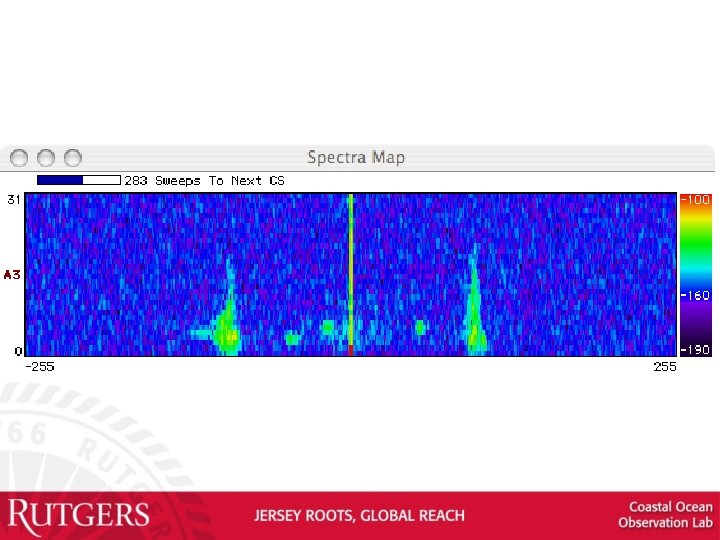
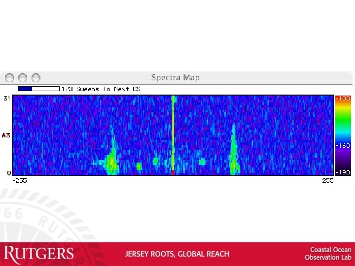
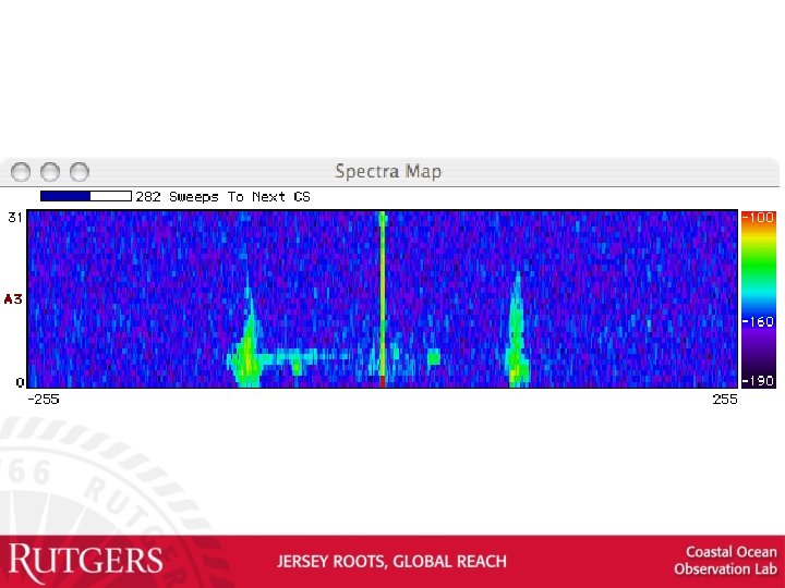
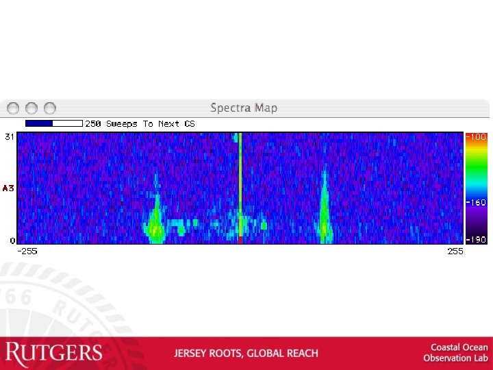
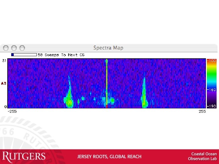
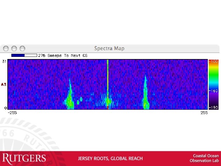
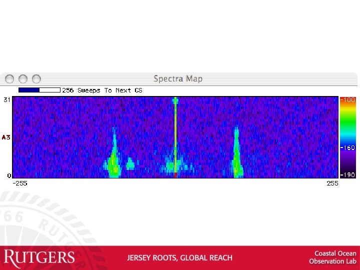
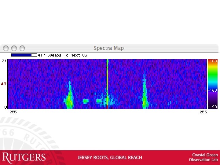
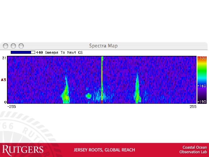
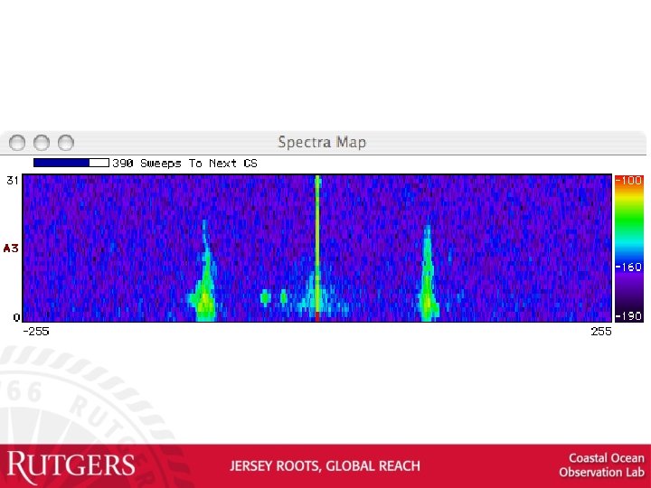
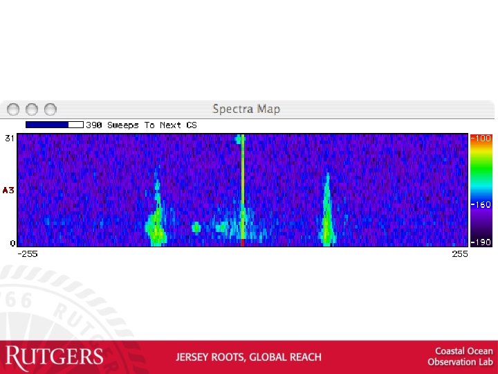
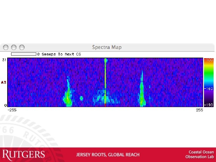
Doppler Spectra from all Range Cells with Detection Threshold Applied Fixed Objects & Direct Signals Bragg Waves Ra ng e Vessel Doppler Frequency
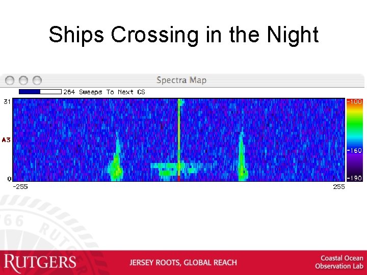
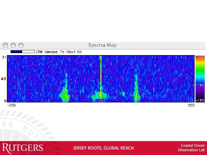
Ships Crossing in the Night
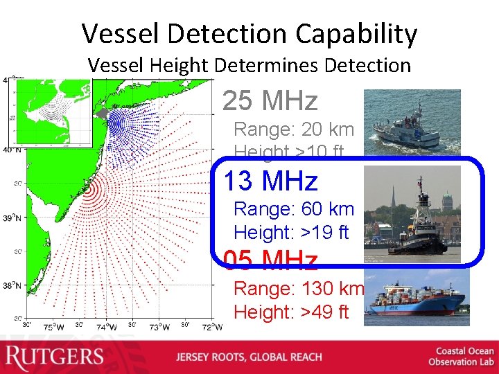
Vessel Detection Capability Vessel Height Determines Detection 25 MHz Range: 20 km Height >10 ft 13 MHz Range: 60 km Height: >19 ft 05 MHz Range: 130 km Height: >49 ft
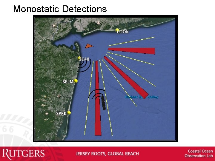
Monostatic Detections
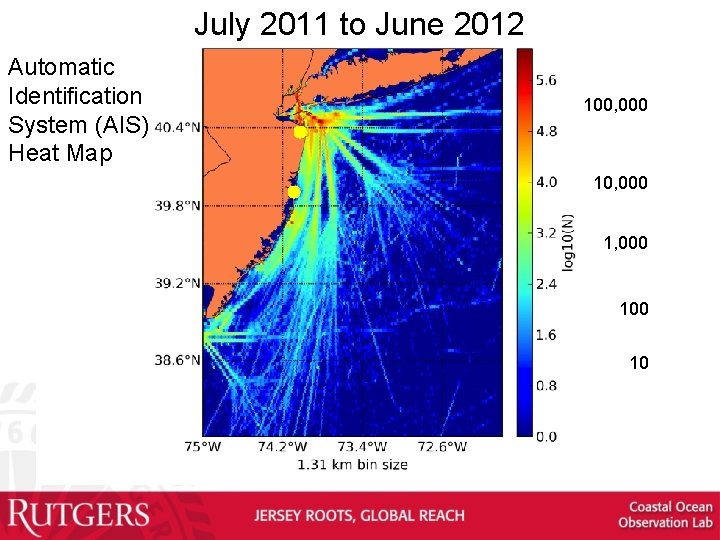
July 2011 to June 2012 Automatic Identification System (AIS) Heat Map 100, 000 1, 000 10
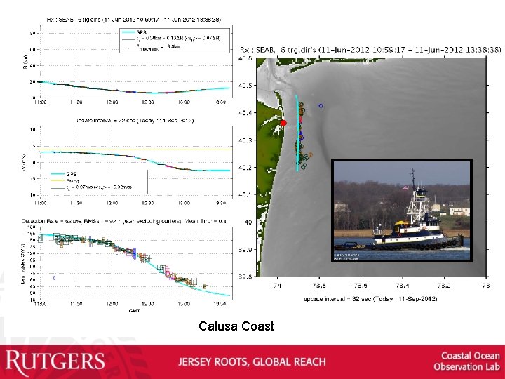
Calusa Coast
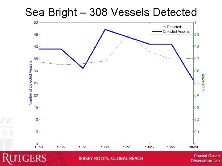
Sea Bright – 308 Vessels Detected
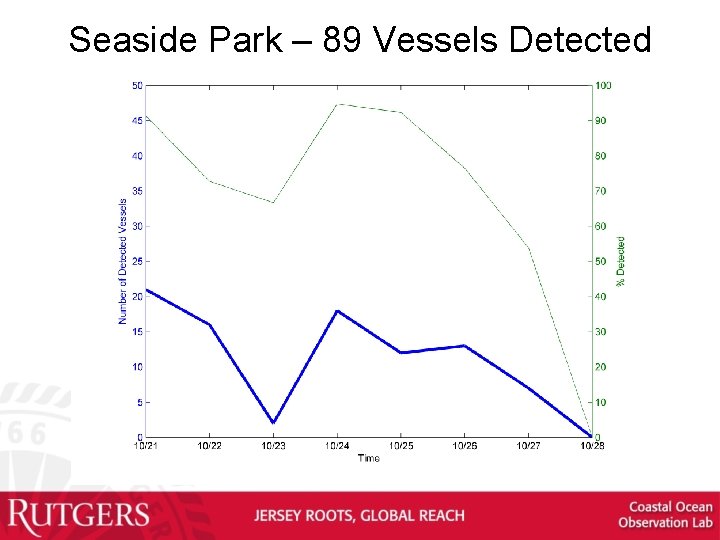
Seaside Park – 89 Vessels Detected
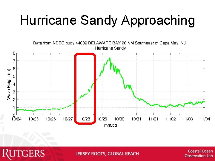
Hurricane Sandy Approaching
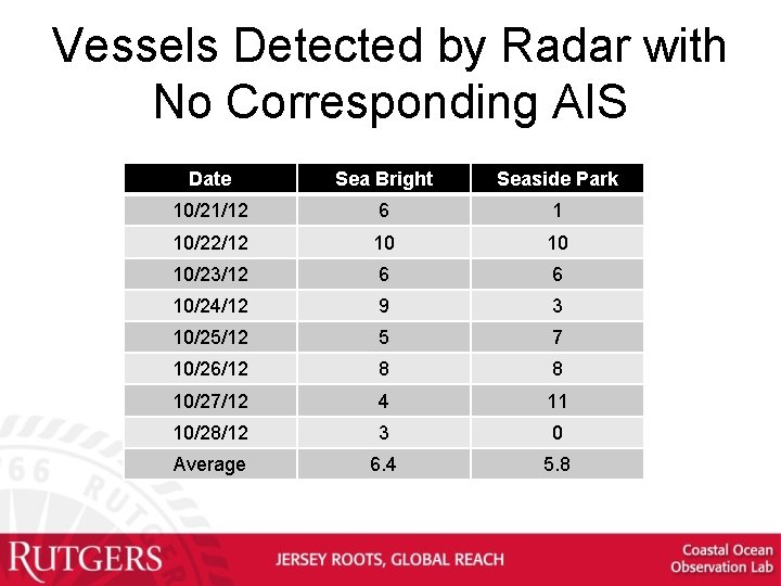
Vessels Detected by Radar with No Corresponding AIS Date Sea Bright Seaside Park 10/21/12 6 1 10/22/12 10 10 10/23/12 6 6 10/24/12 9 3 10/25/12 5 7 10/26/12 8 8 10/27/12 4 11 10/28/12 3 0 Average 6. 4 5. 8
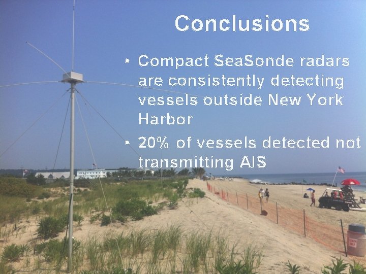
Conclusions • Compact Sea. Sonde radars are consistently detecting vessels outside New York Harbor • 20% of vessels detected not transmitting AIS