Model Output Statistics Transforming model output into useful
- Slides: 13

Model Output Statistics Transforming model output into useful forecast parameters CC Hennon ATMS 350 UNC Asheville

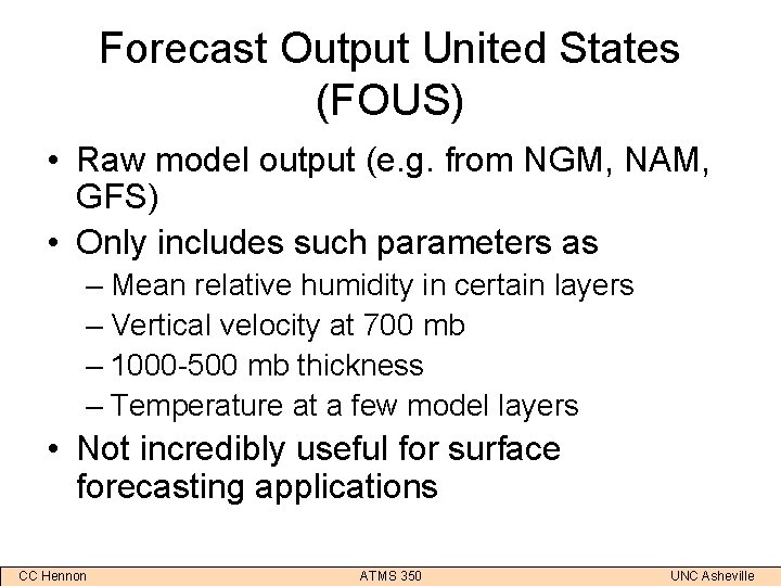
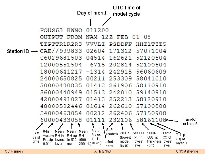
Forecast Output United States (FOUS) • Raw model output (e. g. from NGM, NAM, GFS) • Only includes such parameters as – Mean relative humidity in certain layers – Vertical velocity at 700 mb – 1000 -500 mb thickness – Temperature at a few model layers • Not incredibly useful for surface forecasting applications CC Hennon ATMS 350 UNC Asheville

Day of month UTC time of model cycle Station ID Temp(C) of layer 5 Fcst. 6 -hr valid Accum time Precip 0. 01” CC Hennon Mean RH in lowest layer Mean RH up to 500 mb SLP Mean Vert. Veloc. (coded) RH (‘-’ is (500 Lifted 200 mb) down) Index ATMS 350 WDIR (lowest model layer) WSPD (kt) in lowest layer 1000500 mb thickness (dm) Temp. (C) of lowest layer Temp. (C) of layer 3 UNC Asheville

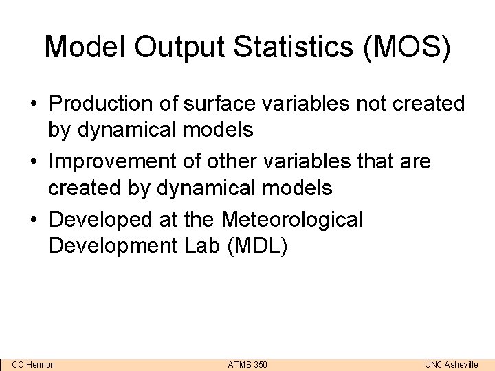
Model Output Statistics (MOS) • Production of surface variables not created by dynamical models • Improvement of other variables that are created by dynamical models • Developed at the Meteorological Development Lab (MDL) CC Hennon ATMS 350 UNC Asheville

How MOS Works • Relates model output variables to common forecast variables (e. g. surface temperature, dew point, precipitation) through statistical techniques • Analyze past correlations between model outputs and forecast variables – ‘Analog’ method of forecasting • MOS is produced from NGM, NAM, and GFS models CC Hennon ATMS 350 UNC Asheville

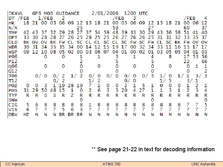
** See page 21 -22 in text for decoding information CC Hennon ATMS 350 UNC Asheville

Interpreting some MOS output • Probability of Precipitation (P 06, P 12) – Precipitation chance (%) for a point – ’ 40%’ means it will precipitate 4/10 times at that point in the given situation • Probability of Snow (POS) – Conditional probability – If precipitation occurs, this is the chance (%) that it will be snow – Actual chance of snow is the product of P 06/P 012 and POS CC Hennon ATMS 350 UNC Asheville

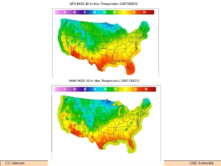
CC Hennon ATMS 350 UNC Asheville

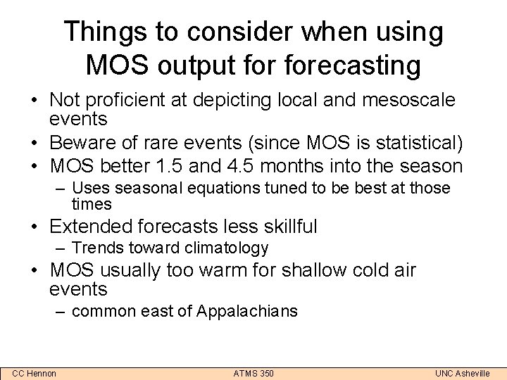
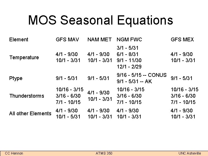
Things to consider when using MOS output forecasting • Not proficient at depicting local and mesoscale events • Beware of rare events (since MOS is statistical) • MOS better 1. 5 and 4. 5 months into the season – Uses seasonal equations tuned to be best at those times • Extended forecasts less skillful – Trends toward climatology • MOS usually too warm for shallow cold air events – common east of Appalachians CC Hennon ATMS 350 UNC Asheville

MOS Seasonal Equations Element GFS MAV NAM MET NGM FWC GFS MEX Temperature 4/1 - 9/30 10/1 - 3/31 3/1 - 5/31 4/1 - 9/30 6/1 - 8/31 10/1 - 3/31 9/1 - 11/30 12/1 - 2/29 4/1 - 9/30 10/1 - 3/31 Ptype 9/1 - 5/31 Thunderstorms 10/16 - 3/15 4/1 - 9/30 3/16 - 6/30 10/1 - 3/31 7/1 - 10/15 10/16 - 3/15 3/16 - 6/30 7/1 - 10/15 All other Elements 4/1 - 9/30 10/1 - 5/31 4/1 - 9/30 10/1 - 3/31 CC Hennon 9/16 - 5/15 -- CONUS 9/1 - 5/31 -- AK 4/1 - 9/30 10/1 - 3/31 ATMS 350 UNC Asheville

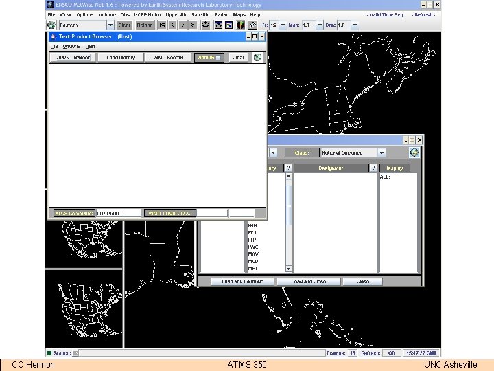
CC Hennon ATMS 350 UNC Asheville

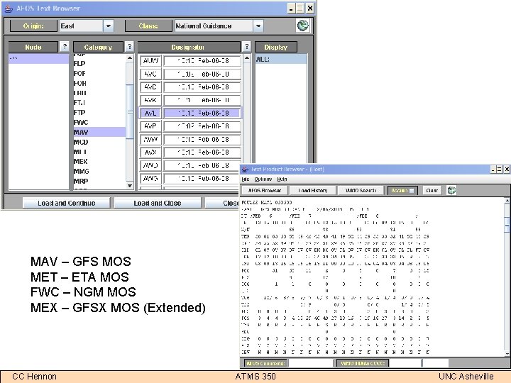
MAV – GFS MOS MET – ETA MOS FWC – NGM MOS MEX – GFSX MOS (Extended) CC Hennon ATMS 350 UNC Asheville

MOS Links • Changes/updates – http: //www. nws. noaa. gov/mdl/synop/changes. php • FAQ – http: //www. nws. noaa. gov/mdl/synop/faq. php • Definition of MOS elements/acronyms – http: //www. nws. noaa. gov/mdl/synop/avnacronym. htm • MOS performance (WRF vs. GFS vs. NAM) – http: //www. nws. noaa. gov/mdl/synop/wrfmoseval. htm • MDL – http: //www. nws. noaa. gov/tdl/ CC Hennon ATMS 350 UNC Asheville