
MOBILE GIS FOR ENTERPRISE Jaak Laineste founder Geospatial
MOBILE GIS FOR ENTERPRISE Jaak Laineste, founder Geospatial World Forum, Rotterdam, 2013
GIS trends 1. IT trends in general Workstations PC Web Cloud Mobile computing Smartphones Tablets 2. GIS follows same path Mobile computing is not there yet
Web 2. 0 after Google Maps • Geodata is not special anymore • Google has solved many GIS problems Show location(s) – web, mobile Show way from A to B Geocoding Navigation • Google impact Geo is now simple, and free Geospatial is familiar
MOBILE OPPORTUNITIES
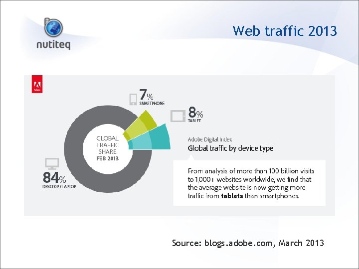
Web traffic 2013 Source: blogs. adobe. com, March 2013
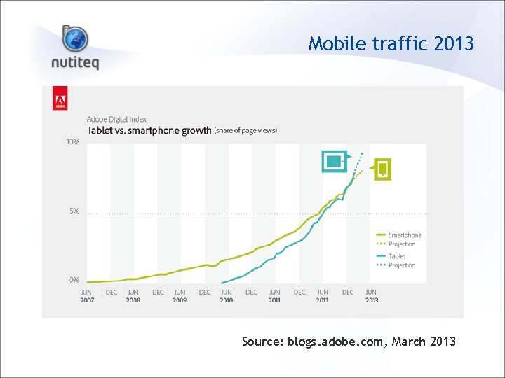
Mobile traffic 2013 Source: blogs. adobe. com, March 2013
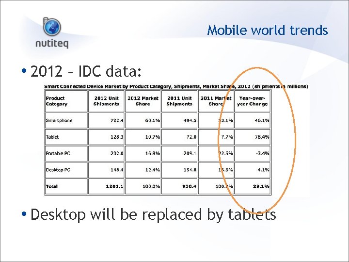
Mobile world trends • 2012 – IDC data: • Desktop will be replaced by tablets
Mobile issues • Many platforms (still) Windows Mobile/CE Android, i. Os, Windows 8, Black. Berry 10, Ubuntu mobile, . . . • Hardware limit CPU, battery, screen size, controls (keys, pointer), connectivity • Software limits New software is needed
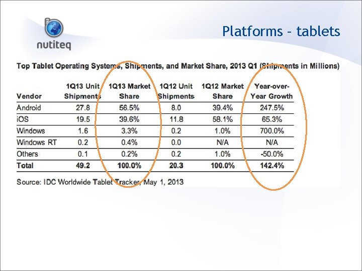
Platforms – tablets
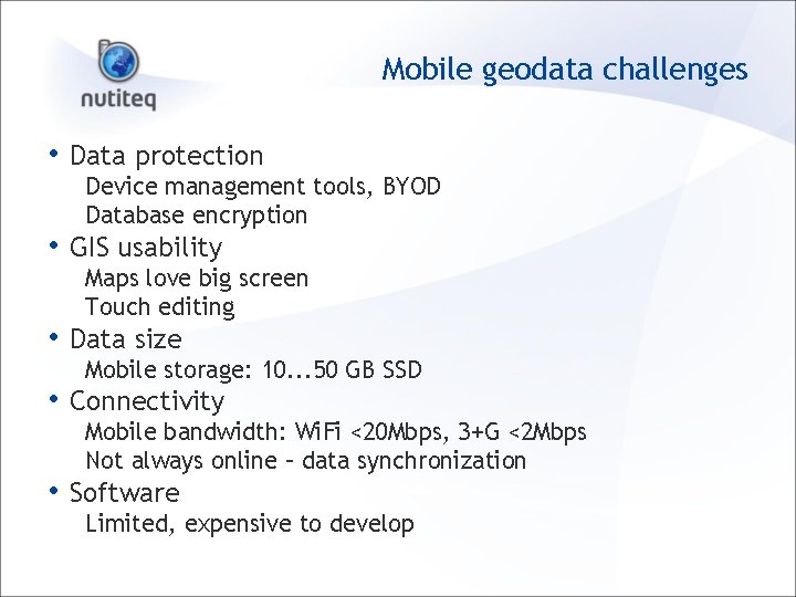
Mobile geodata challenges • Data protection Device management tools, BYOD Database encryption • GIS usability Maps love big screen Touch editing • Data size Mobile storage: 10. . . 50 GB SSD • Connectivity Mobile bandwidth: Wi. Fi <20 Mbps, 3+G <2 Mbps Not always online – data synchronization • Software Limited, expensive to develop
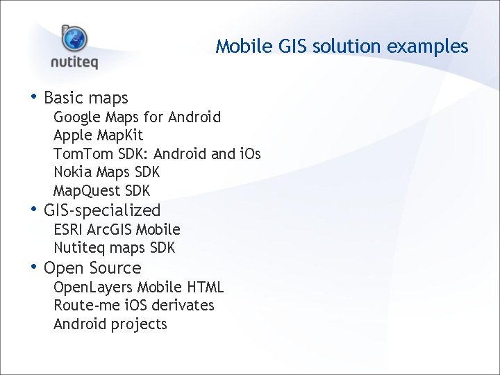
Mobile GIS solution examples • Basic maps Google Maps for Android Apple Map. Kit Tom SDK: Android and i. Os Nokia Maps SDK Map. Quest SDK • GIS-specialized ESRI Arc. GIS Mobile Nutiteq maps SDK • Open Source Open. Layers Mobile HTML Route-me i. OS derivates Android projects
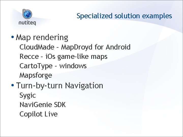
Specialized solution examples • Map rendering Cloud. Made – Map. Droyd for Android Recce – i. Os game-like maps Carto. Type – windows Mapsforge • Turn-by-turn Navigation Sygic Navi. Genie SDK Copilot Live
GIS mobile client apps • Arc. GIS for i. OS and Android • Google Earth • Map. Box i. OS • General Features: Connect to one cloud Basic editing Measure, GPS
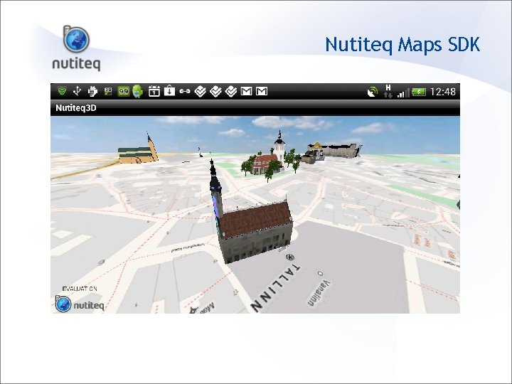
Nutiteq Maps SDK
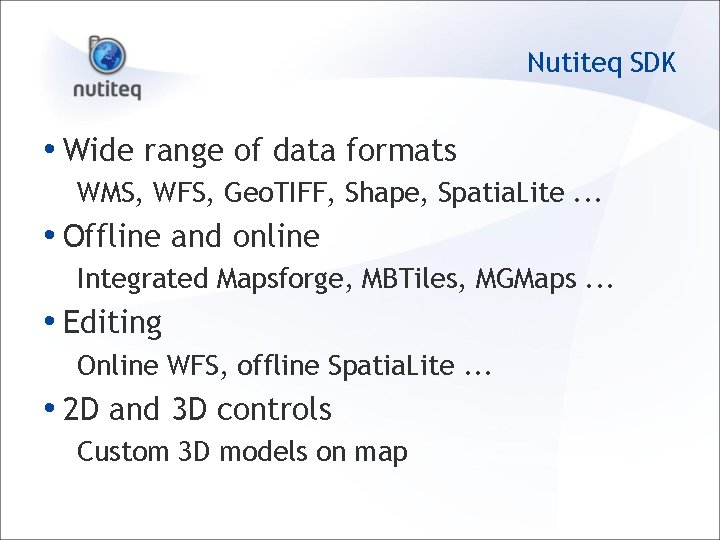
Nutiteq SDK • Wide range of data formats WMS, WFS, Geo. TIFF, Shape, Spatia. Lite. . . • Offline and online Integrated Mapsforge, MBTiles, MGMaps. . . • Editing Online WFS, offline Spatia. Lite. . . • 2 D and 3 D controls Custom 3 D models on map
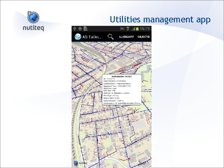
Utilities management app
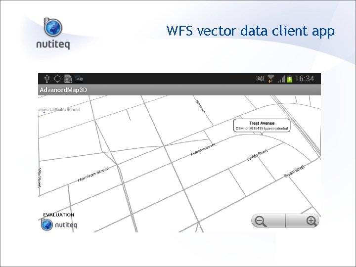
WFS vector data client app
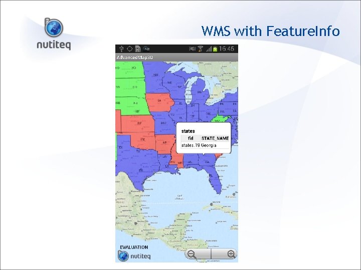
WMS with Feature. Info
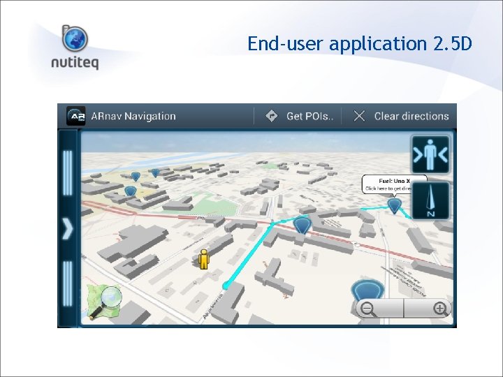
End-user application 2. 5 D
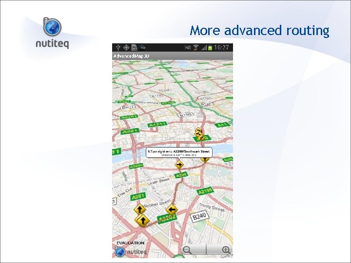
More advanced routing
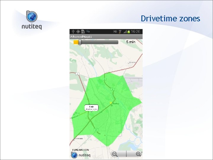
Drivetime zones
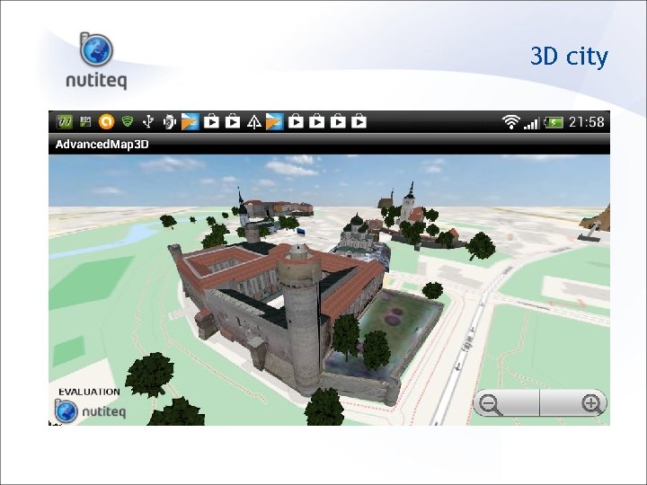
3 D city
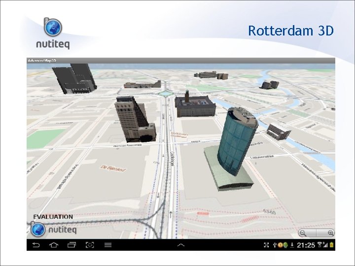
Rotterdam 3 D
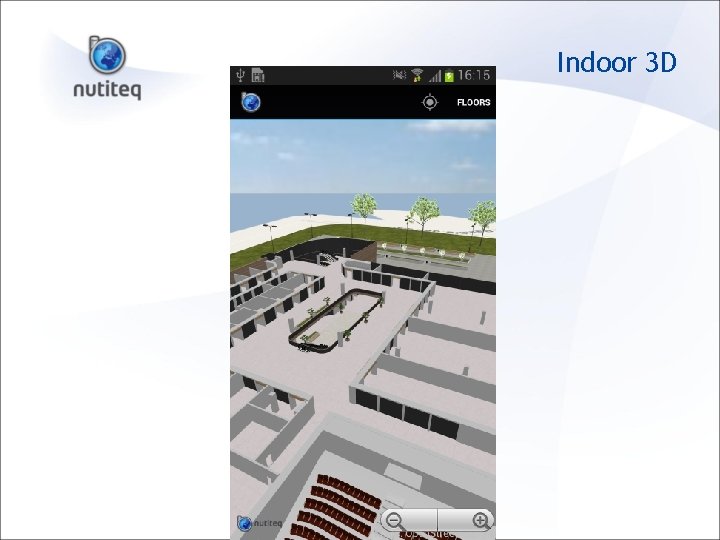
Indoor 3 D
Nutiteq SDK usage • Download and develop for free • Sample code http: //nutiteq. github. io project Open. Source data connectors • Commercial partnerships welcome Map content Application/solution implementation Distribution
Thank you! Jaak Laineste CEO, Nutiteq www. nutiteq. com jaak@nutiteq. com
- Slides: 26