Measuring the Earth Latitude and Longitude Mapping Earths


- Slides: 19
Measuring the Earth Latitude and Longitude
Mapping Earth’s Surface • 1. A map is a model of earth’s surface. • 2. Coordinate systems – a method of locating objects on a map by labeling them with coordinates. • 3. Latitude – Longitude Coordinate System
Latitude/Parallels • Parallels are imaginary east-west lines on earth’s surface • Parallels never cross • Parallels tell you how far North or South of the Equator you are
Show what you know • What is the approximate latitude of Point A? • What is the approximate latitude of Point B? 33° North They’re the same because they are on the same line of Latitude!
Important Latitudes • Equator = 0º Latitude • North Pole = 90º N Latitude • South Pole = 90º S Latitude
Longitude/Meridians • Meridians are imaginary north-south lines on earth’s surface • All meridians cross over the poles and converge there • Meridians tell you how far east or west of the Prime Meridian you are
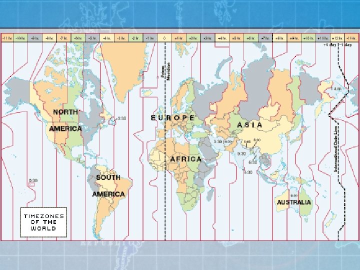
Important Longitudes • Prime Meridian = 0° Longitude • International Date Line = 180° Longitude
Show what you know • What is the approximate longitude of Point A? What is the approximate longitude of Point B? 75° West 0° Longitude
Using Latitude and Longitude • Combine your latitude and longitude measurement to get a coordinate • Make sure you include direction with both latitude and longitude • 20° 30’N, 75° 30’E
79° W 42° N What is the Latitude and Longitude of Jamestown?
What is the Latitude and Longitude of Ithaca?
Determining Latitude and Longitude • Latitude – The angle of Polaris above the horizon is equal to your latitude in the Northern Hemisphere
• Longitude – You can find longitude by knowing the local time and the time at Greenwich, England. If it is one hour earlier than Greenwich, you are 15 degrees West of Greenwich.
Royal Observatory, Greenwich England
Mrs. Ellis on the Prime Meridian Wow! I must really be a geek if I’m posing on the Prime Meridian!
Royal Observatory • Why might the roof be retractable?
• The Greenwich Meridian was chosen to be the Prime Meridian of the World in 1884. Forty-one delegates from 25 nations met in Washington DC for the International Meridian Conference. By the end of the conference, Greenwich had won the prize of Longitude 0º by a vote of 22 in favor to 1 against (San Domingo), with two abstentions (France and Brazil). There were two main reasons for the victory: • the USA had already chosen Greenwich as the basis for its own national time-zone system. • at the time, 72% of the world's commerce depended on sea-charts which used Greenwich as the Prime Meridian.