Measuring Earth Notes Pages 3 9 Earths Spheres


- Slides: 24
Measuring Earth Notes: Pages 3 - 9
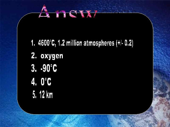
Earth’s Spheres Information regarding Earth’s atmosphere can be found on page of the ESRTs
Earth’s Spheres Information regarding Earth’s interior can be found on page of the ESRTs
Earth’s Spheres Information regarding Earth’s hydrosphere can be found on page of the ESRTs
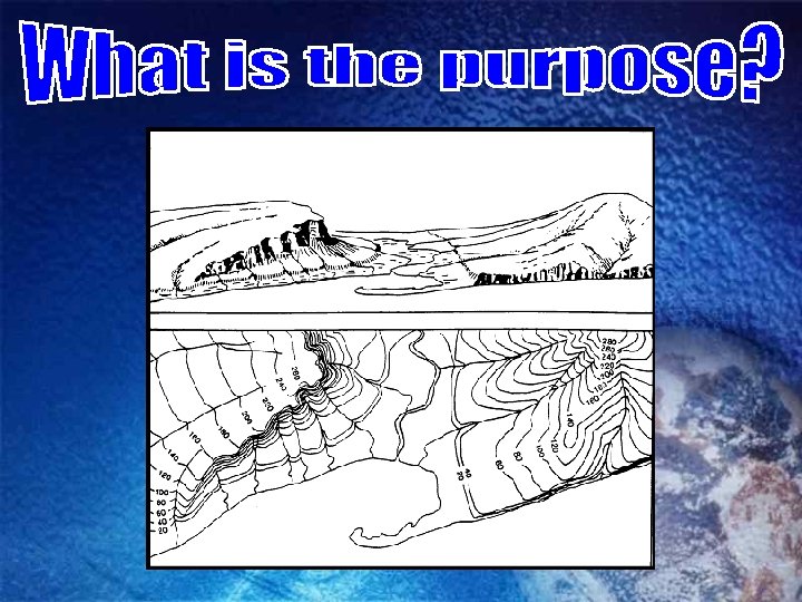
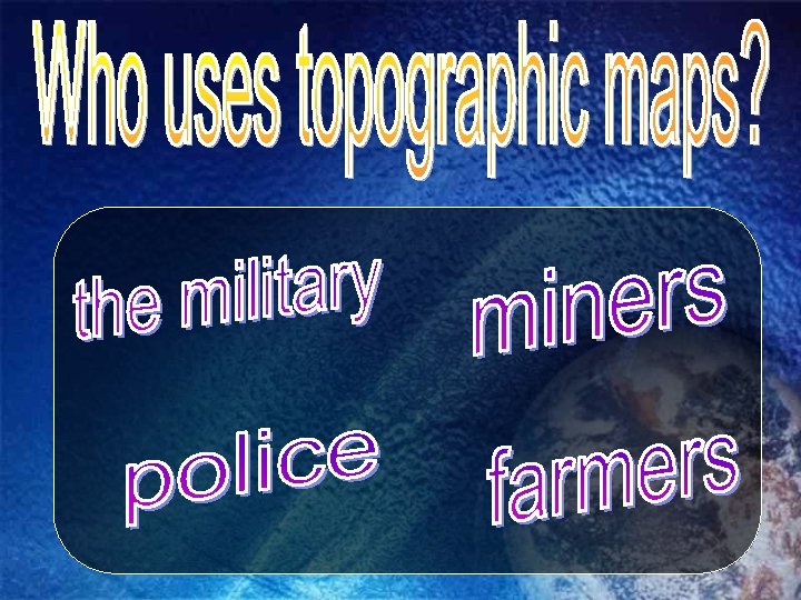
When might someone use a topographic map?
25
What do hachured lines show?
What are the rules concerning hachured lines?
What are the steps to draw a topographic profile place a piece of paper between the points mark where every contour line touches the edge of the paper determine the elevation of each mark place the paper on the graph and mark the elevation of each contour line
Using the map and chart below, construct a topographic map profile.
Please match the contour map on the left with the profile on the right.
The elevation of Albany is 282 feet. The elevation at Binghamton is 1634 feet. Calculate the gradient to the nearest tenth of a ft/mi. Show all work. gradient = change in elevation distance = 1634 -282 115 miles = 11. 8 ft/mile = 1352 ft 115 miles
The elevation of Watertown is 99 m. The elevation at Oswego is 144 m. Calculate the gradient to the nearest tenth of a m/km. Show all work. gradient = change in elevation distance = 144 - 99 = 45 m 75 km = 0. 6 m/km
If the distance between the two circled cities is 425 km, calculate the temperature gradient to the nearest hundredth? Show all work. gradient = change in temperature distance = 82 -48 = 34 = 0. 08 °F/km 425