
Mauro Fiorentino University of Basilicata The University of
Mauro Fiorentino University of Basilicata The University of Basilicata Research Activities on Earth Observation and Natural Risk Mitigation and Prevention
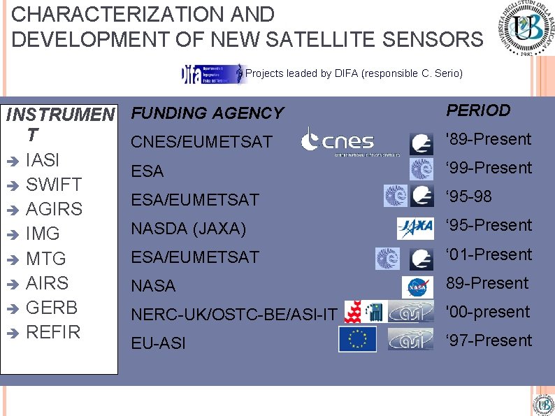
CHARACTERIZATION AND DEVELOPMENT OF NEW SATELLITE SENSORS Projects leaded by DIFA (responsible C. Serio) INSTRUMEN T IASI SWIFT AGIRS IMG MTG AIRS GERB REFIR FUNDING AGENCY PERIOD CNES/EUMETSAT '89 -Present ESA ‘ 99 -Present ESA/EUMETSAT ‘ 95 -98 NASDA (JAXA) ‘ 95 -Present ESA/EUMETSAT ‘ 01 -Present NASA 89 -Present NERC-UK/OSTC-BE/ASI-IT '00 -present EU-ASI ‘ 97 -Present
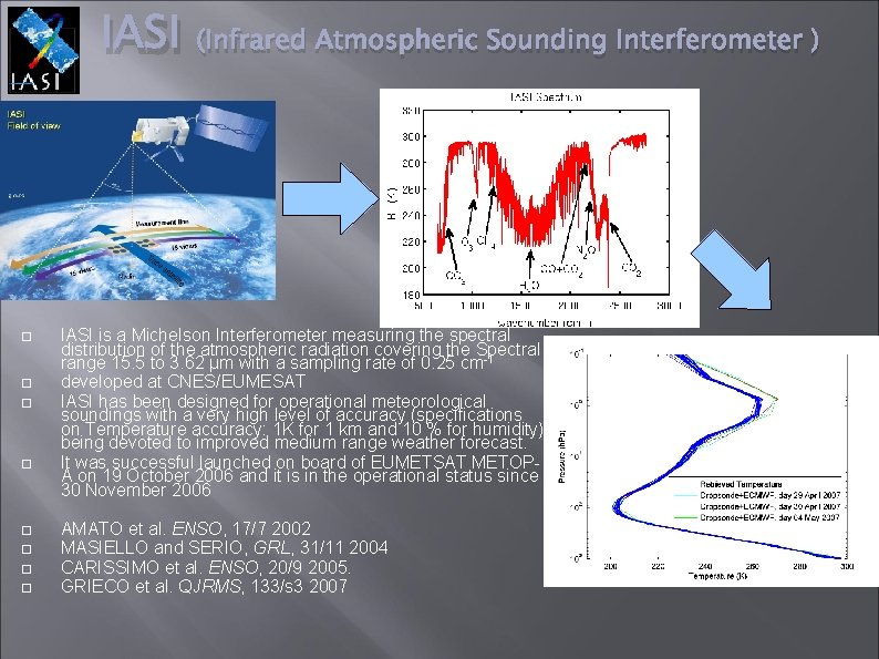
IASI (Infrared Atmospheric Sounding Interferometer ) IASI is a Michelson Interferometer measuring the spectral distribution of the atmospheric radiation covering the Spectral range 15. 5 to 3. 62 µm with a sampling rate of 0. 25 cm-1 developed at CNES/EUMESAT IASI has been designed for operational meteorological soundings with a very high level of accuracy (specifications on Temperature accuracy: 1 K for 1 km and 10 % for humidity) being devoted to improved medium range weather forecast. It was successful launched on board of EUMETSAT METOPA on 19 October 2006 and it is in the operational status since 30 November 2006 AMATO et al. ENSO, 17/7 2002 MASIELLO and SERIO, GRL, 31/11 2004 CARISSIMO et al. ENSO, 20/9 2005. GRIECO et al. QJRMS, 133/s 3 2007
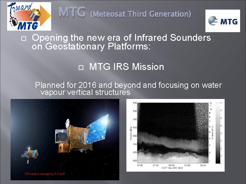
MTG (Meteosat Third Generation) Opening the new era of Infrared Sounders on Geostationary Platforms: MTG IRS Mission Planned for 2016 and beyond and focusing on water vapour vertical structures
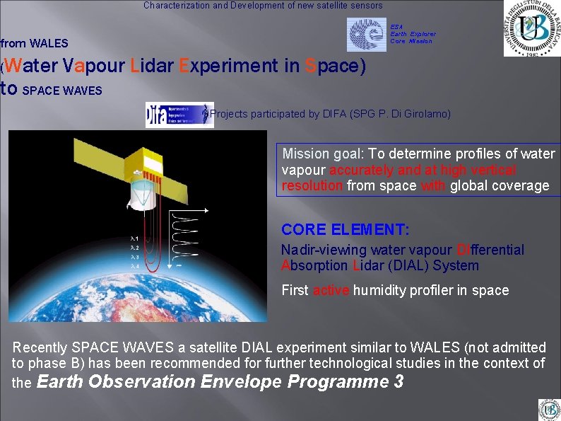
Characterization and Development of new satellite sensors ESA Earth Explorer Core Mission from WALES (Water Vapour Lidar Experiment in Space) to SPACE WAVES Projects participated by DIFA (SPG P. Di Girolamo) Mission goal: To determine profiles of water vapour accurately and at high vertical resolution from space with global coverage CORE ELEMENT: Nadir-viewing water vapour DIfferential Absorption Lidar (DIAL) System First active humidity profiler in space Recently SPACE WAVES a satellite DIAL experiment similar to WALES (not admitted to phase B) has been recommended for further technological studies in the context of the Earth Observation Envelope Programme 3
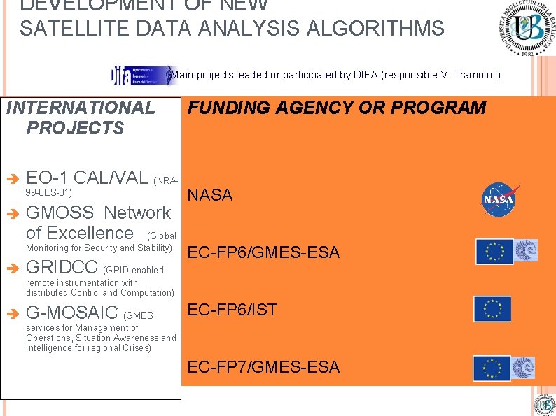
DEVELOPMENT OF NEW SATELLITE DATA ANALYSIS ALGORITHMS Main projects leaded or participated by DIFA (responsible V. Tramutoli) INTERNATIONAL PROJECTS EO-1 CAL/VAL (NRA 99 -0 ES-01) GMOSS Network of Excellence (Global Monitoring for Security and Stability) GRIDCC (GRID enabled FUNDING AGENCY OR PROGRAM NASA EC-FP 6/GMES-ESA remote instrumentation with distributed Control and Computation) G-MOSAIC (GMES EC-FP 6/IST services for Management of Operations, Situation Awareness and Intelligence for regional Crises) EC-FP 7/GMES-ESA
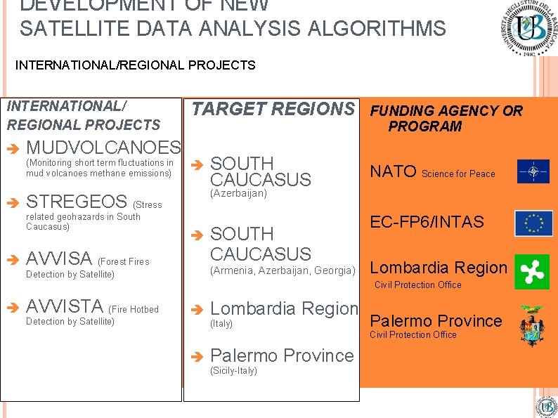
DEVELOPMENT OF NEW SATELLITE DATA ANALYSIS ALGORITHMS INTERNATIONAL/REGIONAL PROJECTS INTERNATIONAL/ REGIONAL PROJECTS MUDVOLCANOES (Monitoring short term fluctuations in mud volcanoes methane emissions) SOUTH CAUCASUS FUNDING AGENCY OR PROGRAM NATO Science for Peace (Azerbaijan) STREGEOS (Stress related geohazards in South Caucasus) TARGET REGIONS AVVISA (Forest Fires SOUTH CAUCASUS (Armenia, Azerbaijan, Georgia) Detection by Satellite) EC-FP 6/INTAS Lombardia Region Civil Protection Office AVVISTA (Fire Hotbed Detection by Satellite) Lombardia Region (Italy) Palermo Province Civil Protection Office Palermo Province (Sicily-Italy)
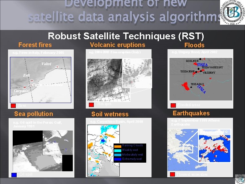
Development of new satellite data analysis algorithms Robust Satellite Techniques (RST) Forest fires e. g. Fires in Italy, February 2005 Volcanic eruptions e. g. 2004 -2005 Etna eruption (Italy) Floods e. g. Ungary flood, April 2002 SZOLNOK Voltri TISZAVARKONY TISZAJENE VEZSENY Erli Casanova Lerrone TISZASAS T IS ZA Carpasio fires Sea pollution e. g. Oil spill in the Persic Gulf, January 1991 Hot spot Flooded areas Soil wetness e. g. Carpathian Basin, April 2000 Earthquakes e. g. 7 September 1999 Athens Earthquake 3 days before EQ Raining Clouds Weakly wet Moderately wet Extremely wet Oil spill Thermal anomalies
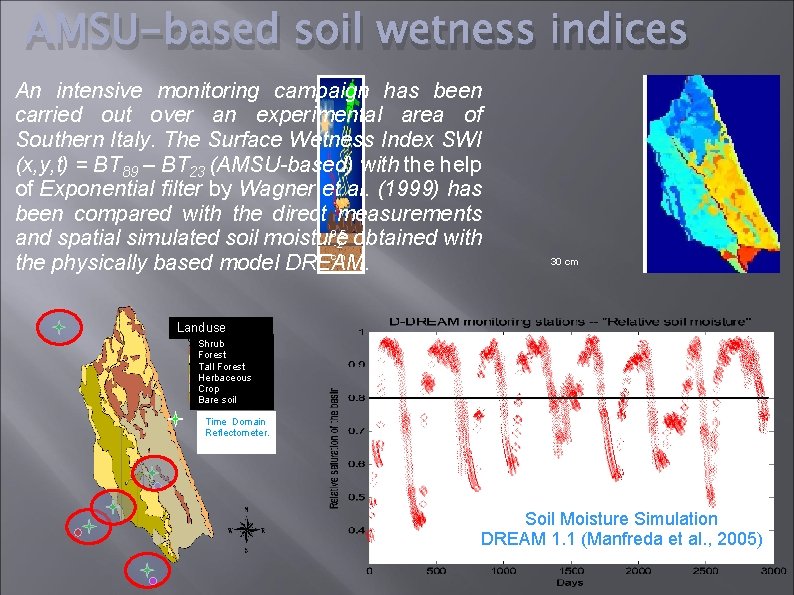
AMSU-based soil wetness indices An intensive monitoring campaign has been carried out over an experimental area of Southern Italy. The Surface Wetness Index SWI (x, y, t) = BT 89 – BT 23 (AMSU-based) with the help of Exponential filter by Wagner et al. (1999) has been compared with the direct measurements 0. 5 and spatial simulated soil moisture -2 obtained with cm the physically based model DREAM. 30 cm Landuse Shrub Forest Tall Forest Herbaceous Crop Bare soil Time Domain Reflectometer. Soil Moisture Simulation DREAM 1. 1 (Manfreda et al. , 2005)
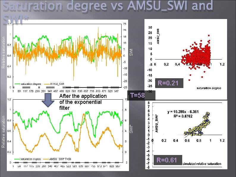
SWI Relative saturation Saturation degree vs AMSU_SWI and SWI* R=0. 21 T=58 SWI* Relative saturation After the application of the exponential filter R=0. 61
- Slides: 10