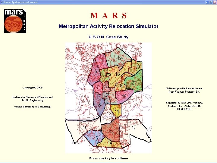
MARS Metropolitan Activity Relocation Simulator Institute for Transport


 10/2/20207")
 – example for future use")


- Slides: 25
MARS Metropolitan Activity Relocation Simulator Institute for Transport Planning and Traffic Engineering Vienna University of Technology
MARS Metropolitan Activity Relocation Simulator CONTENTS 1. 2. 3. 4. 5. Decision making process in land use and transport planning Metropolitan Activity Relocation Simulator - MARS VBA vs. Vensim® MARS – MARS FS – Decision Makers Tool Conclusions 10/2/20202
MARS Metropolitan Activity Relocation Simulator DECISION MAKING PROCESS in land use and transportation planning Identification of objectives / setting targets Indicators Identification of possible instruments (strategies) Policy instruments Model output Assessment and Appraisal no Assessment and Appraisal Can the objectives/targets be met? Model environment yes Implementation of strategy 10/2/20203
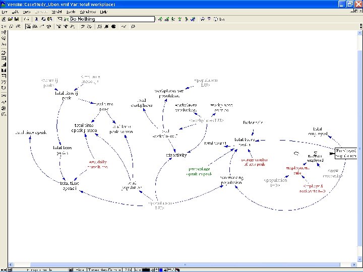
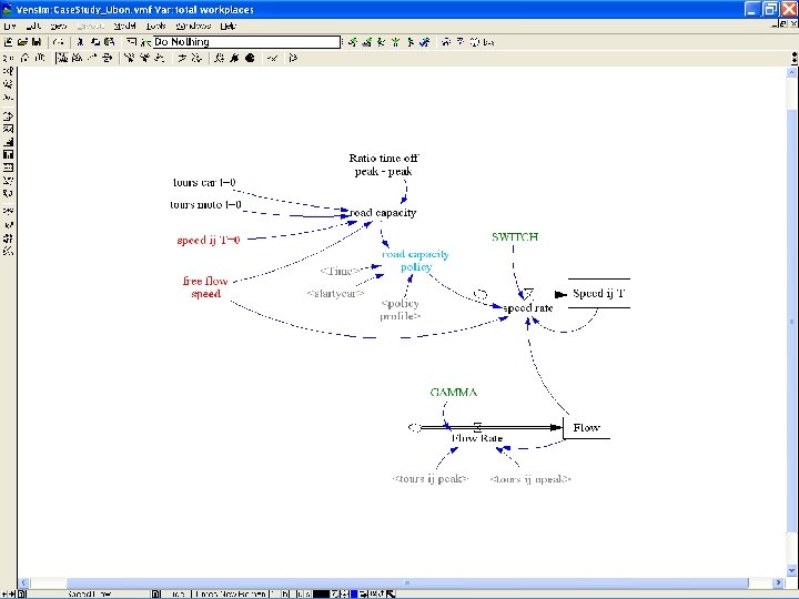
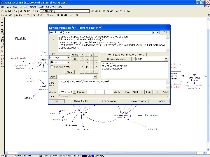
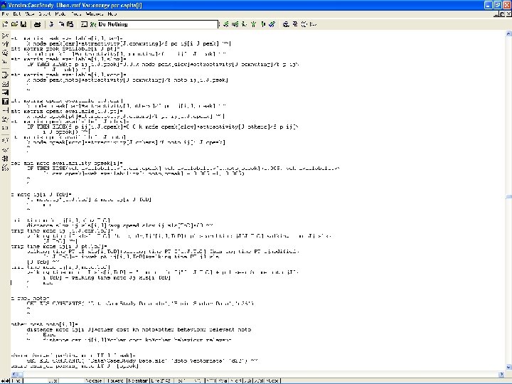
MARS Metropolitan Activity Relocation Simulator MARS – LAND USE AND TRANSPORTATION MODEL MARS (Metropolitan Activity Relocation Simulator) is an integrated strategic and dynamic land-use and transport (LUTI) model. The basic underlying hypothesis of MARS is that settlements and activities within them are self-organizing systems. The development of MARS started in the year 2000. 10/2/20204
MARS Metropolitan Activity Relocation Simulator VBA vs. VENSIM® Vensim® is a system dynamics visual modelling tool that allows to • conceptualize, • document, • simulate, • analyze, • optimize and • thoroughly explore the behaviour of the model. 10/2/20205
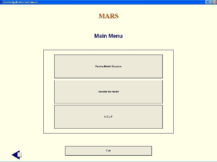
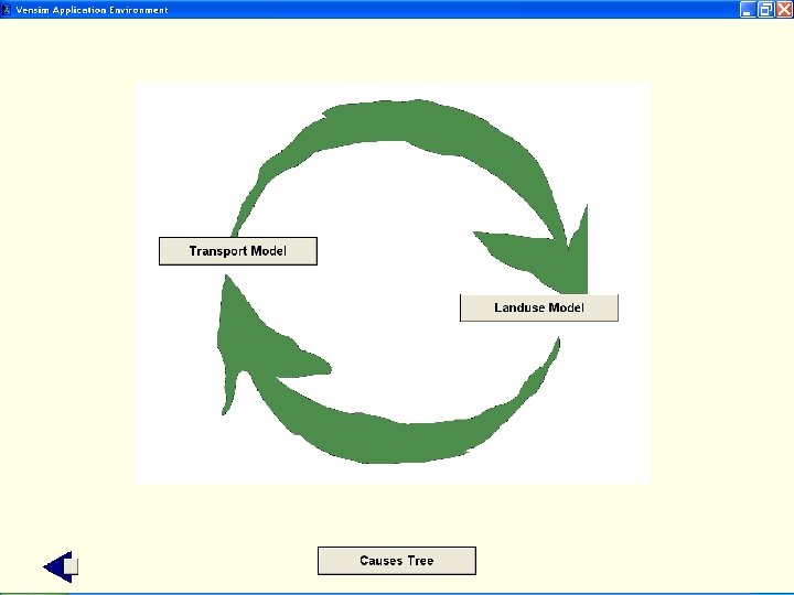
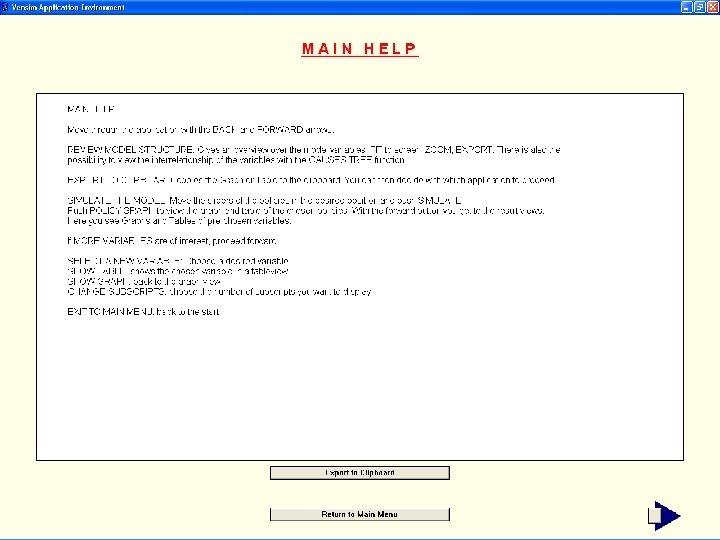
MARS Metropolitan Activity Relocation Simulator MARS – MARS FS MARS Flight simulator SW developer environment TOUR MARS FS CLICK Model View Code 1 TOUR MODEL CLICK 2 3 4 Data qualitative model description quantitative model description 10/2/20206
MARS Metropolitan Activity Relocation Simulator MARS Output GIS (1) 10/2/20207
MARS Metropolitan Activity Relocation Simulator MARS Output GIS (2) – example for future use Ani. Map interactive displays animated spatiotemporal information with open -source software and open standards (Web server, PHP, My. SQL, Internet Explorer, XML_SVG). „Darstellung von Zeitreihen räumlicher Daten mittels Web. Mapping“, CORP 2004, Hocevar, Lunak, Riedl; TU Vienna, Department of Spatial Development, Infrastructure & Environmental Planning 10/2/20208
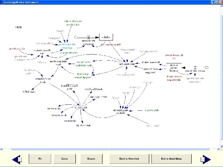
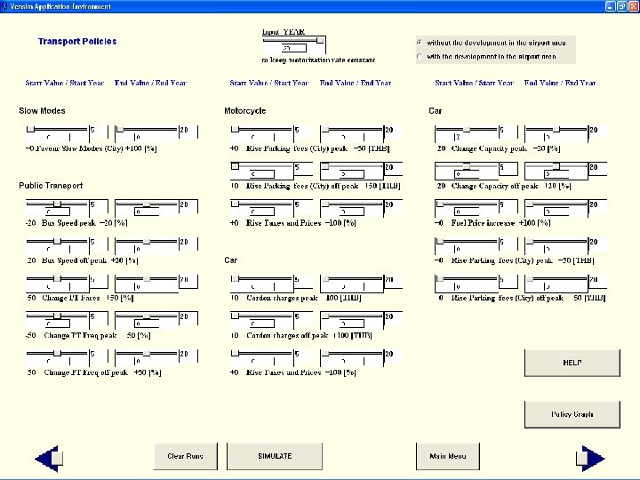
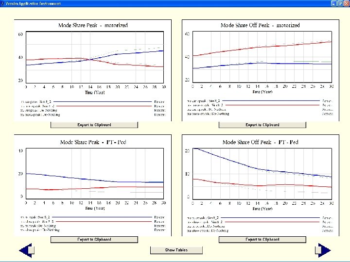
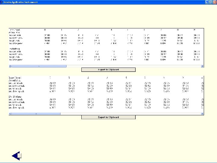
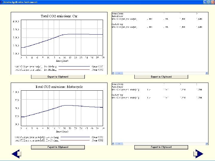
MARS Metropolitan Activity Relocation Simulator Observations MARS FS as a decision support tool has been used in 2 workshops in Thailand: • It was found easy to navigate • Causes-tree tool was found extremely useful to understand the behaviour of the model • Possibility to work interactively with the model and test each policy instrument individually • Explore synergetic effects of policy combinations • Outputs as graphs or tables, and exporting function • Minor criticism was the list of pre-prepared indicators Conclusions MARS is designed to be used by experts to explore the interactions of land use and transport. MARS FS is a graphical user interface for an easy access to the MARS model. 10/2/20209
BACK TO NAVIGATION
BACK TO NAVIGATION