Maps and Continents Importance of Maps Maps are


 • Once you are through with North America, use the pgs.")

- Slides: 24
Maps and Continents
Importance of Maps • Maps are an important part of history. Maps show us things like where people have lived and moved, the weather of different continents and regions, and other changes in that take place in the world.
Kind of Maps • There are several different kinds of maps including: • Physical Maps • Political Maps • Topographical Maps • Road Maps • Economic or Resource Maps
Physical Maps • Shows the natural features of an area. Water is colored blue and land either in green or brown (elevation). • Ex: Mountains, Rivers, Lakes
Physical Map
Political Maps • Shows state and national boundaries, capitals and major cities • Ex: New York City, Austin, Sacramento
Political Map
Economic/Resource Maps • Features the natural resources and economic activity in an area • Farming, Mining, Forestry, Manufacturing
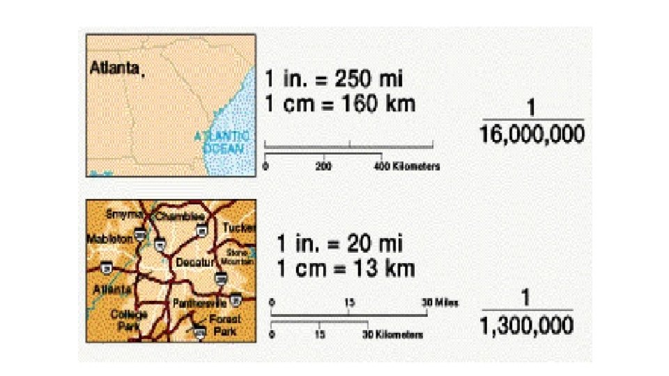
Map Scale • They measure the distance between locations in terms of inches and centimeters
Map Key • A table/legend used to explain symbols on a map
Map Key
Compass Rose • Figure on a map used to display directions – points on a compass
Compass Rose
Cardinal Directions • North • South • East • West
Intermediate Directions • Northwest • Northeast • Southwest • Southeast
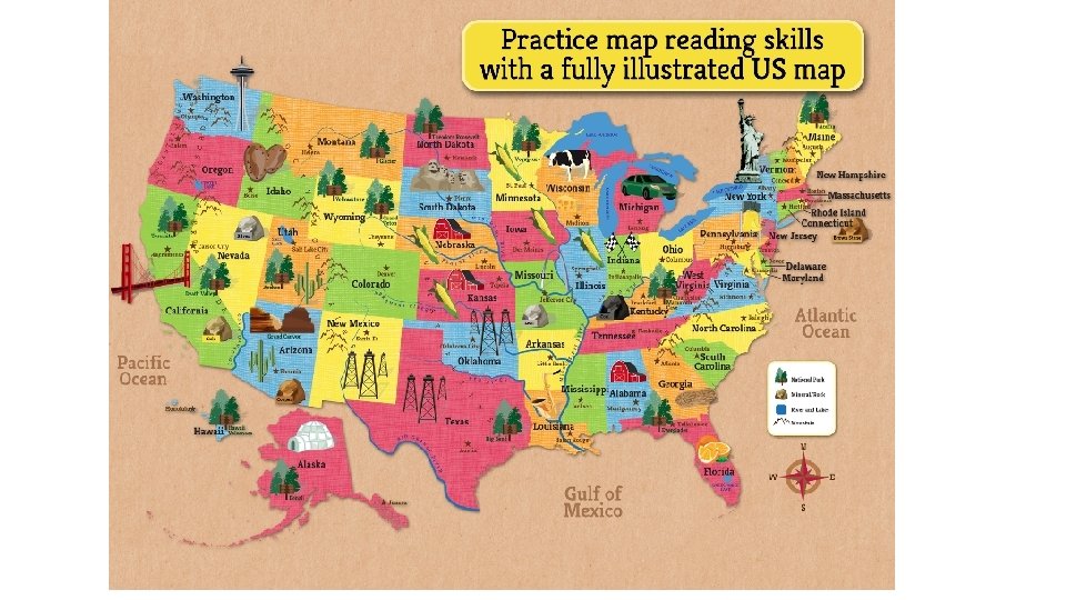
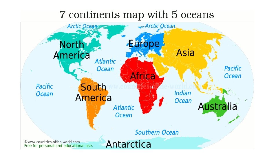
Maps – Continents and Oceans • A Continent is a large landmass found on Earth • 7 in Total • An Ocean is a large expanse of sea • 5 in Total
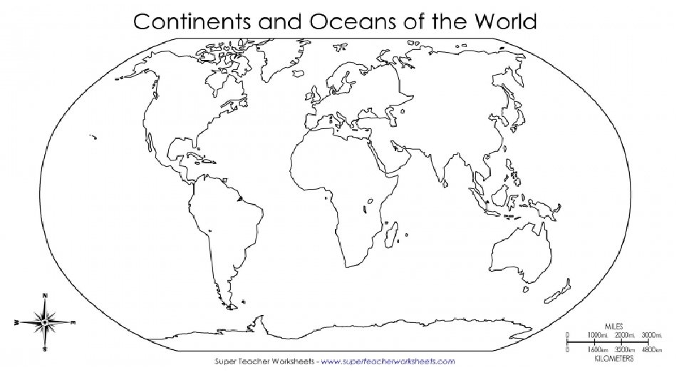
Textbooks • Get textbook • Open it to the Atlas section (A 10 – A 11, North America) • Students will be looking at physical and political maps in the atlas section • Look at the sheet with lists of terms for the continents • You are going to use both maps to label features listed for North America
North America, A 10 - A 11 North America United States Canada Mexico Greenland Alaska Cuba Haiti Dominican Republic Appalachian Mts. Rocky Mts. Great Plains Great Basin Sierra Madre Oriental Sierra Madre Occidental Canadian Shield Yucatan Peninsula Washington D. C. Toronto Mexico City Pacific Ocean Atlantic Ocean Europe Germany France Spain Poland Italy Ukraine Russia United Kingdom Madrid London Berlin Rome Moscow Northern European Plain Iberian Peninsula Mediterranean Sea Alps Mts. Carpathian Mts. North Sea Atlantic Ocean Black Sea Caucasus Mts. Asia Russia China India Iran Saudi Arabia Mongolia Japan Philippines Beijing Tehran Tokyo Ulaanbaatar New Delhi Kunlun Mts. Ural Mts. Central Siberian Plateau Siberia Great Salt Desert Pacific Ocean South China Sea of Okhotsk Sayan Mts.
Textbooks (Cont. ) • Once you are through with North America, use the pgs. to label Europe and Asia • Then color the landmasses of the continents green and the waters (oceans) blue
Europe, A 14 – A 15 Asia, A 16 – A 17