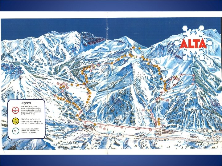
Mapping Alta Ski Areas Infrastructure System By Elise

Mapping Alta Ski Area’s Infrastructure System By Elise Morgan December 1, 2011

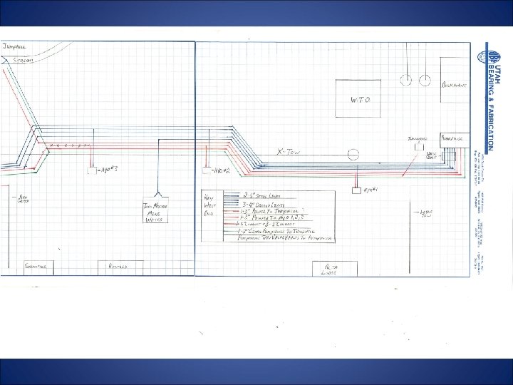
Why does Alta Ski Area Need GIS? Alta’s entire infrastructure was either: • Hand drawn onto topographic maps or graph paper • Drawn into Auto. CAD and not spatially referenced • In the minds of some of our top people who could leave and take all that valuable info with them.

 Collect field data on Alta’s infrastructure 2)")
Goals for the summer of 2011: 1) Collect field data on Alta’s infrastructure 2) Collect field data on Alta’s existing trail system 3) Take what we currently have in Auto. CAD and convert to GIS

What I used to collect field data Trimble Geoexplorer 6000 Series Geo. XT Handheld • This was chosen over a Garmin GPS unit primarily due to the submeter accuracy that a Trimble can provide

• All data was collected using the WGS 1984 coordinate system • Data was post processed using Trimble GPS Pathfinder Office Software (data transfer, differential correction, data export) • Data was then opened in Arc. Catalog 9. 3 where the projected coordinate system UTM NAD 83 Zone 12 N was selected. • Maps were created in Arc. Map 9. 3

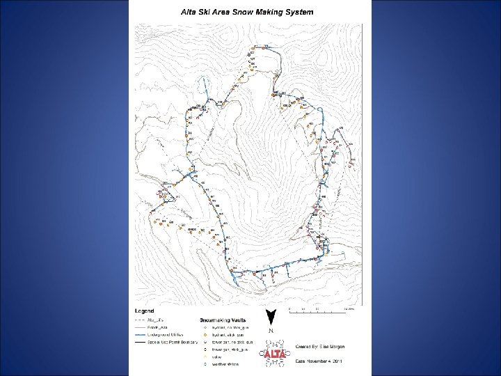
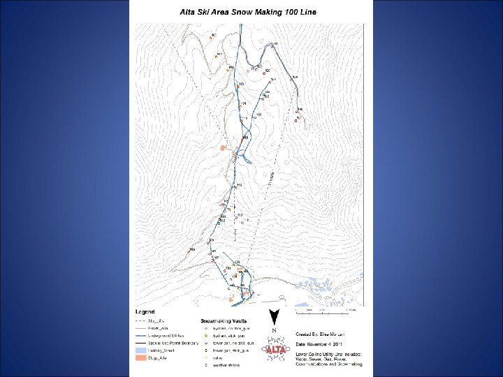
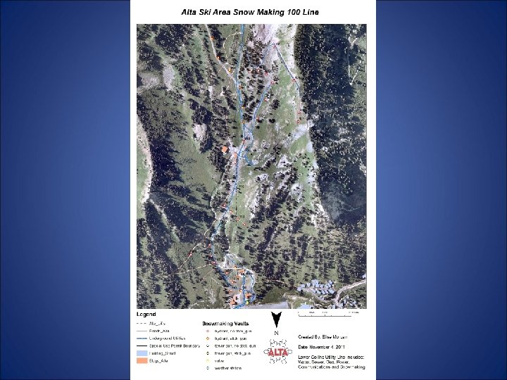
The Snowmaking System • Consists of 100 water vaults, electrical vaults, weather stations, valves, and pump houses • The system is made up of 6 snowmaking lines • Information collected for each location included id, water pressure, hydrants, tower guns, and stick guns

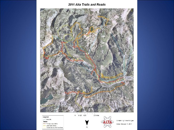
Alta Ski Area Hiking Trail System • Collected field data for two weeks in Sept. • 9 primary trails were mapped totaling in 5. 5 miles • 9 secondary trails were mapped totaling in 4. 5 miles

Converting from Auto. CAD to GIS • May 2011 hired University of Utah’s Digit Lab to convert the data. • By September we had a working copy of the geodatabase.

Lots to do for the Future • Verify unknown infrastructure vaults • Get info on Alta’s current road system to the Forest Service • All the information converted from Auto. CAD needs to be spatially verified

Thank You for Your Time Are there any questions?
- Slides: 18