
Map Riddles By E I See Montgomery County

Map Riddles By E. I. See Montgomery County Public Schools, Maryland Grade 4 Integrated Curriculum 2012

Kake Cannery

Kake Cannery �My name comes from the Tlingit language, meaning “mouth of dawn” or “opening of daylight”. �I am located on an island which is part of an archipelago in the Pacific Ocean. �I was important in the early 1900’s as I helped establish the salmon industry in southeastern Alaska. �I am no longer a functioning cannery. �I am located in a town that now has about 700 people. �Where am I? �What map elements were helpful to determine my location?
Iolani Palace
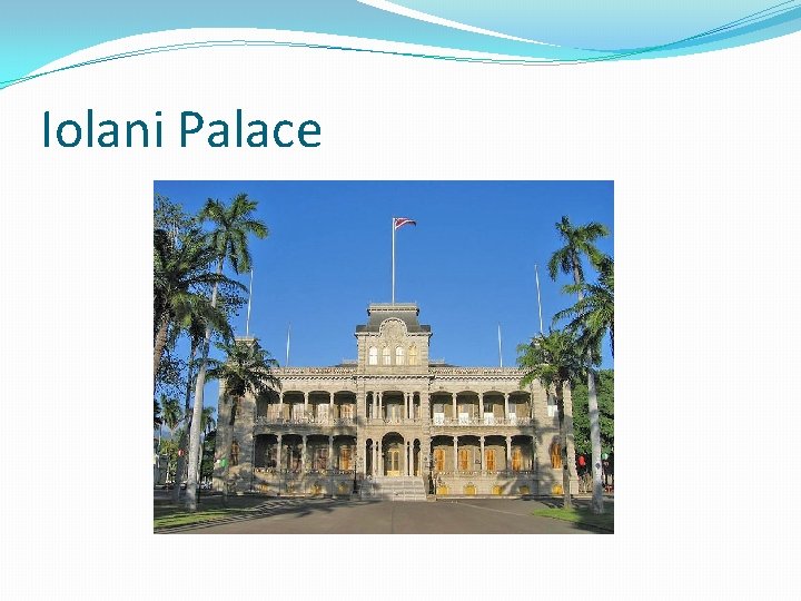
Iolani Palace �I am the only royal palace in the United States that was the residence of a reigning monarch. �King Kalakaua and Queen Lili’uokalani governed from within my walls. �I became the state capitol building when we became part of the United States in 1959. �I am now a museum and historic site. �I am located on the largest island of the Hawaiian archipelago in the largest city with over 1 million residents. �Where am I? �What map elements were helpful to determine my location?
Going-To-The-Sun Road
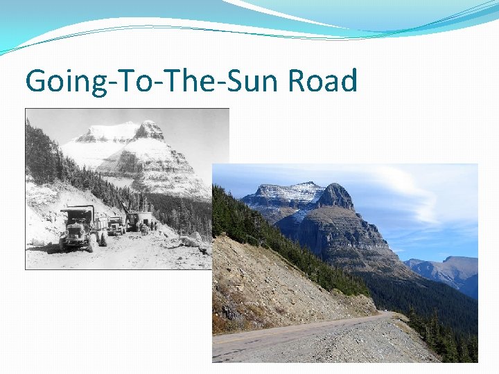
Going-To-The-Sun Road �I am a mountain road. �My highest point is Logan Pass at an elevation of 6, 646 feet. �I am the only road passing through the heart of Glacier National Park. �I am about 53 miles long. �I cross over the Continental Divide in the Rocky Mountains of Montana. �No one makes their permanent home along me. �Where am I? �What map elements were helpful to determine my location?
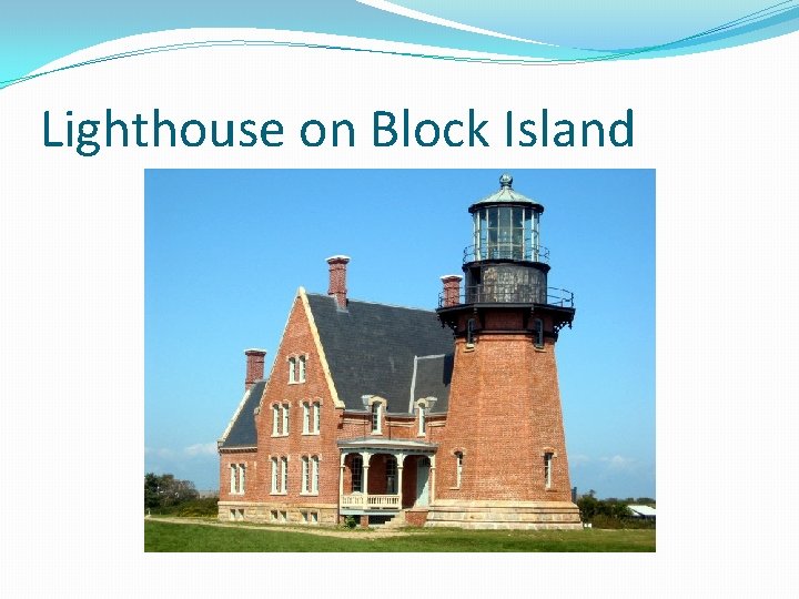
Lighthouse on Block Island
Lighthouse on Block Island �I was constructed between the years of 1874 and 1875 to help light the way for boats coming into harbor from the Atlantic Ocean. �Although I was originally built 300 feet from the Mohegan Bluffs, I was moved away 250 feet more because the Atlantic waves crashing into the bluffs were quickly eroding the land away. �Block Island lies off the southeast coast of New Shoreham, Rhode Island. �Where am I? �What map elements were helpful to determine my location?
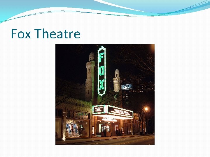
Fox Theatre
Fox Theatre �Use a Grid (Pearson #16881) can be used to help locate me. �I am a famous landmark found in downtown Atlanta, Georgia which is located in the northwest corner of the state. �I was designed in Islamic and Egyptian style in the 1920’s. �I was built for movie viewing and live performances. �Find me east of Interstate 75 and north of U. S. Route 278. �What other Atlanta landmark is near me? �What is my location according to the grid? �What map elements were helpful to determine my location?
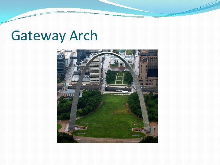
Gateway Arch
Gateway Arch �I stand at 630 feet tall making me the tallest human-made monument in the United States. �I stand on the west bank of the Mississippi River, just south of where the Mississippi and Missouri rivers meet. �I was built to commemorate the westward expansion of the United States. I am also known as the Gateway to the West. �My construction was completed in 1965. �Where am I? �What map elements were helpful to determine my location?

Spindletop
Spindletop �Use Maps Show Direction (Pearson # 16873) to help find my location. �In 1901, I was found to be the most productive oil field in the world making the state of Texas a leader in the oil industry. �I am located near the southeast corner of Texas just west of the Texas/Louisiana border. �I am just north of the Gulf of Mexico. �Where am I? �What map elements were helpful to determine my location?
- Slides: 15