
Map Globe Skills How do the tools of
Map & Globe Skills
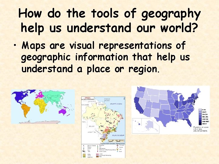
How do the tools of geography help us understand our world? • Maps are visual representations of geographic information that help us understand a place or region.

A variety of maps show different geographic information. Some types of thematic maps: • Population density • Product • Natural Resources • Language • Climate • Physical • Political
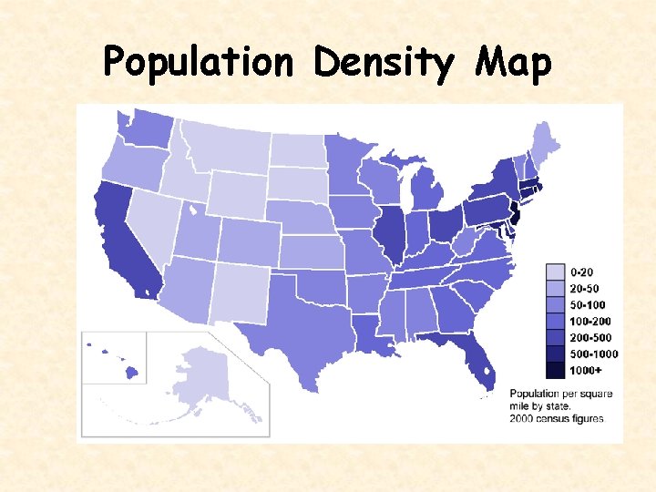
Population Density Map
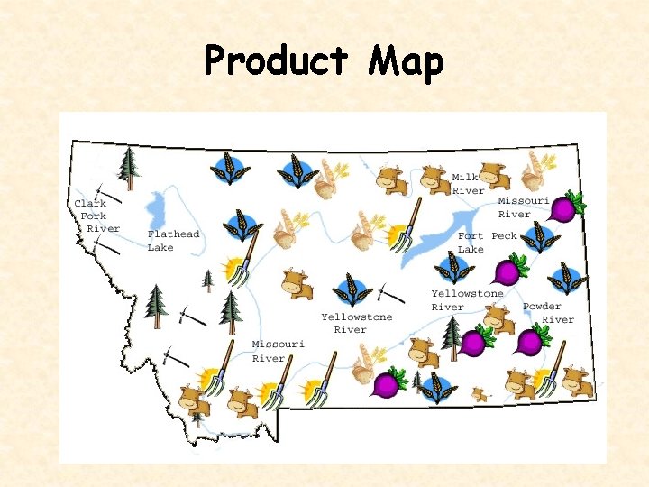
Product Map
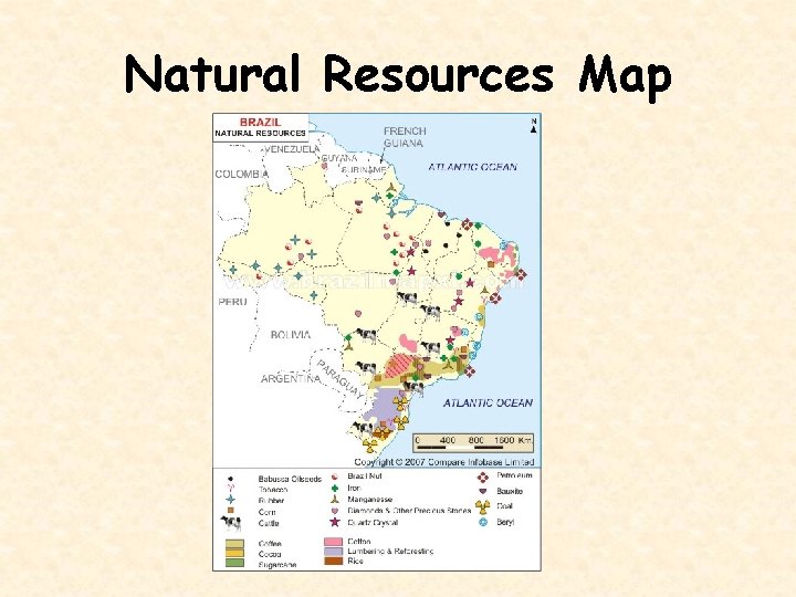
Natural Resources Map
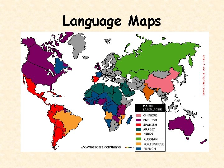
Language Maps
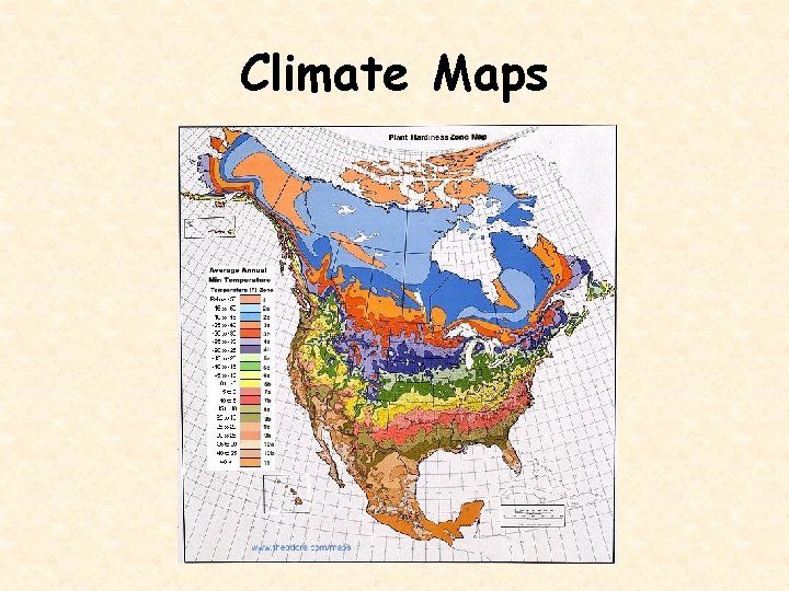
Climate Maps

Physical Maps
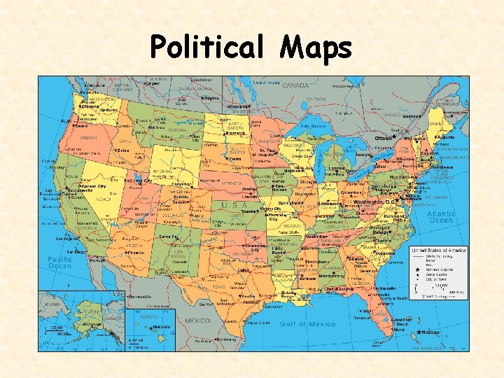
Political Maps
Map keys or legends explain what the symbols on the maps represent. Standard ways that maps show information • Symbols • Color • Lines • Boundaries • Contours • Scale
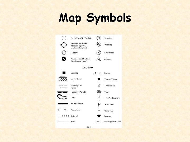
Map Symbols
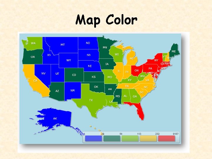
Map Color
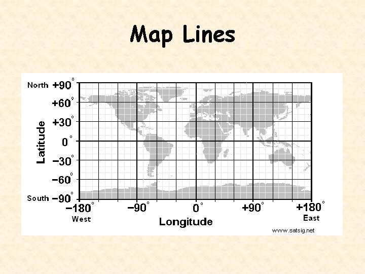
Map Lines
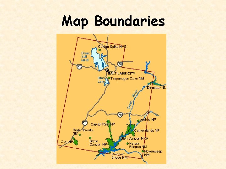
Map Boundaries
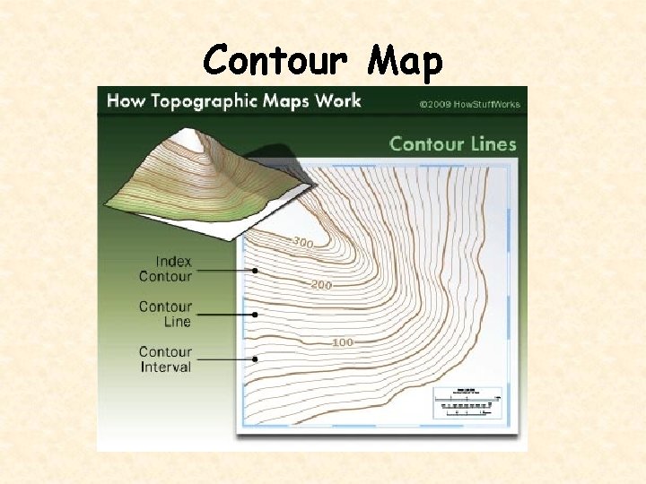
Contour Map
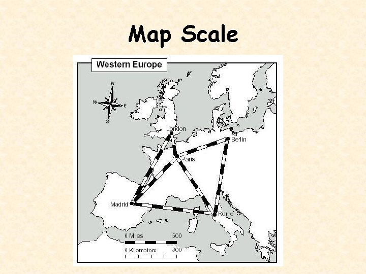
Map Scale
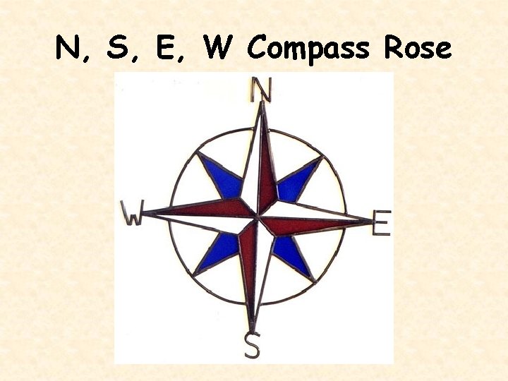
N, S, E, W Compass Rose
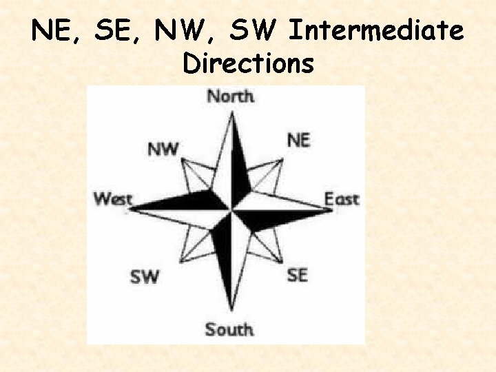
NE, SE, NW, SW Intermediate Directions
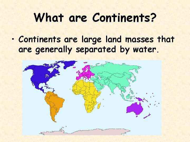
What are Continents? • Continents are large land masses that are generally separated by water.
What are the continents and oceans of the world? Continents • North America • South America • Africa • Asia • Australia • Antarctica • Europe
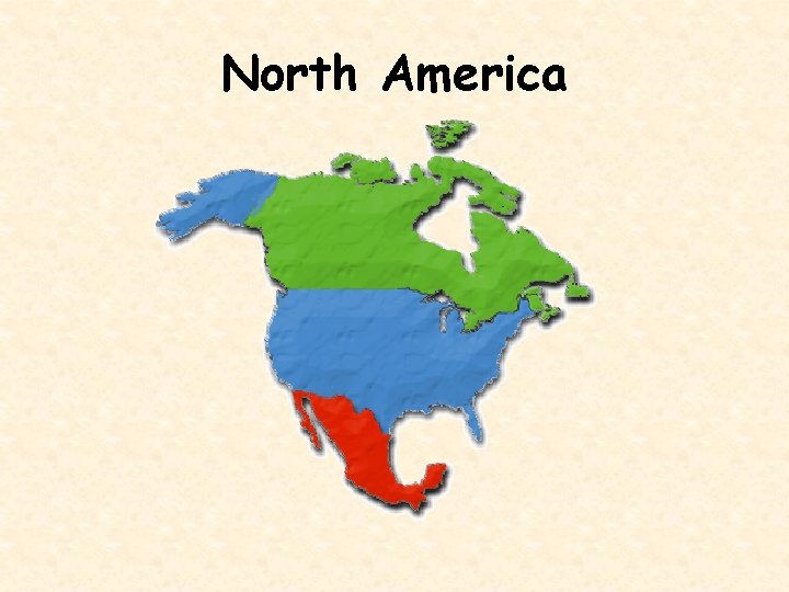
North America
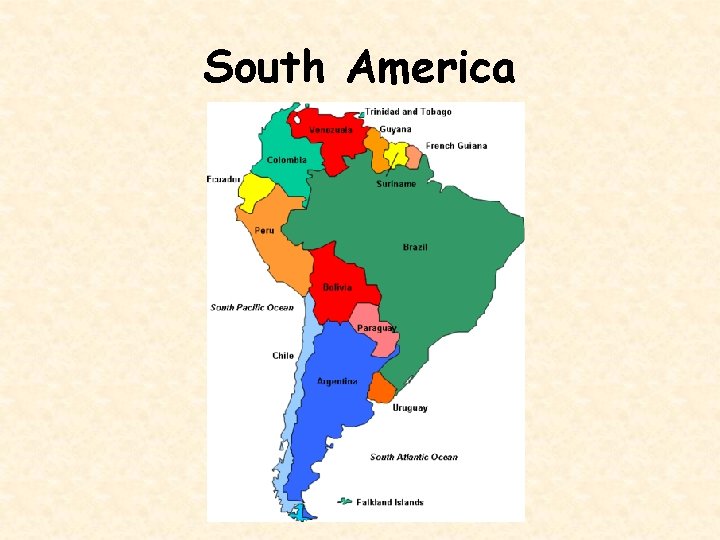
South America
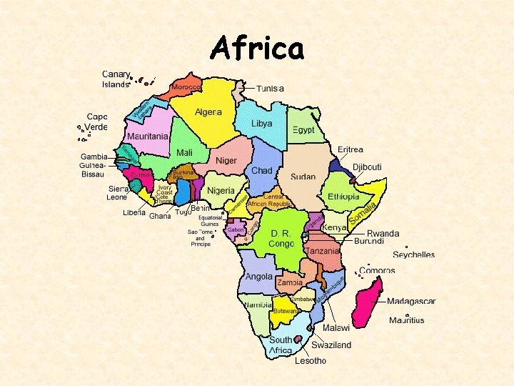
Africa
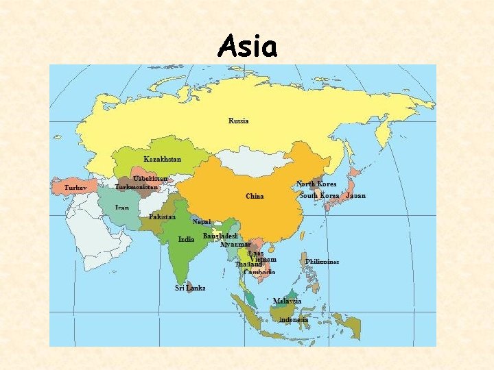
Asia
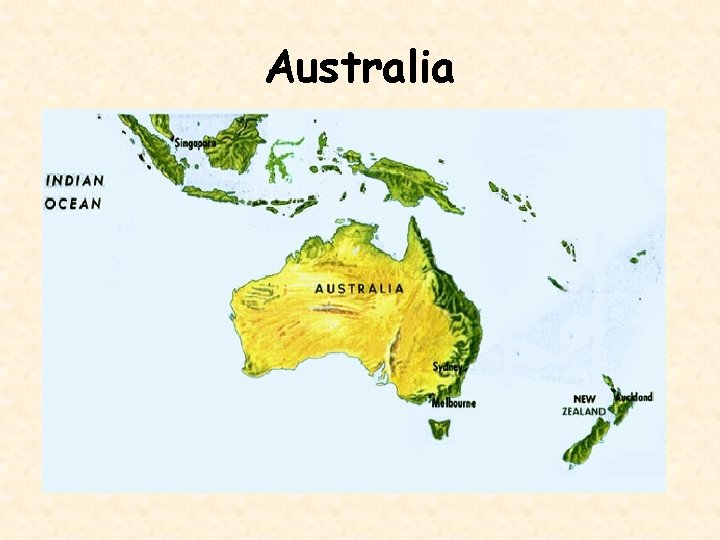
Australia
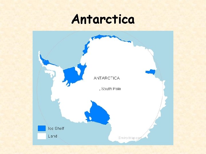
Antarctica
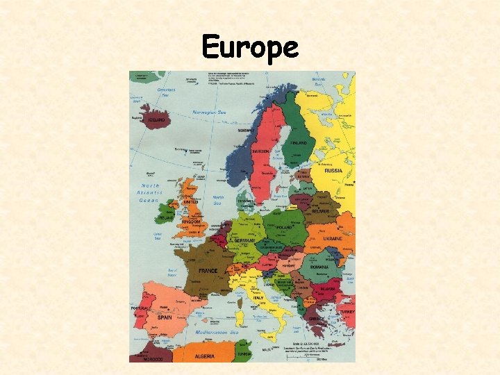
Europe
What are the continents and oceans of the world? Oceans • Atlantic • Pacific • Indian • Arctic • Southern
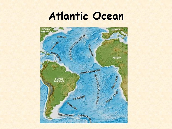
Atlantic Ocean
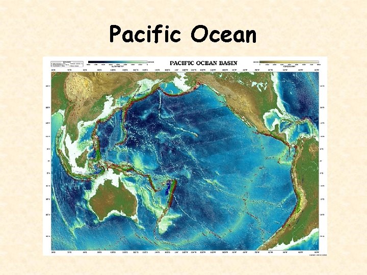
Pacific Ocean
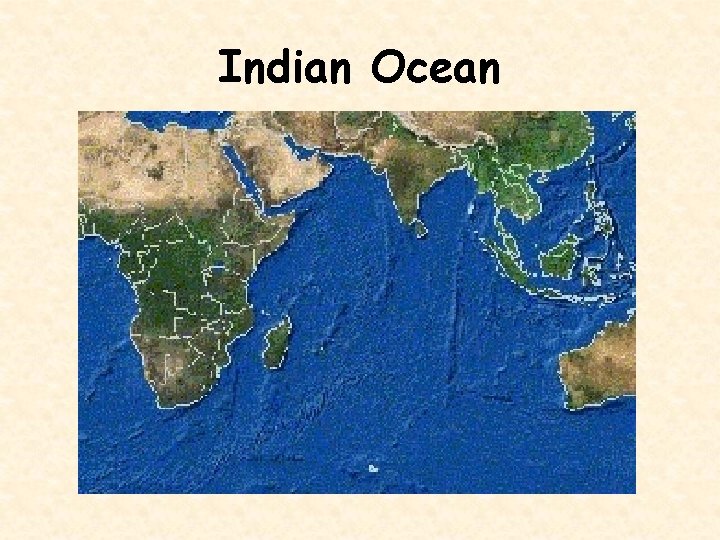
Indian Ocean
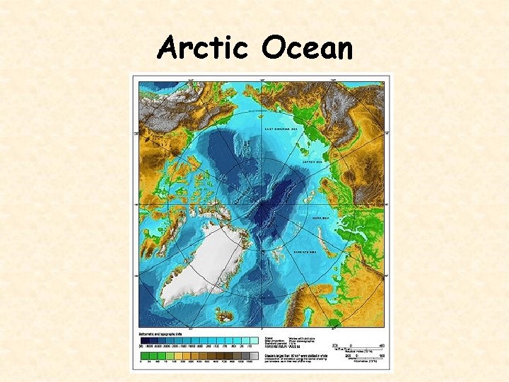
Arctic Ocean
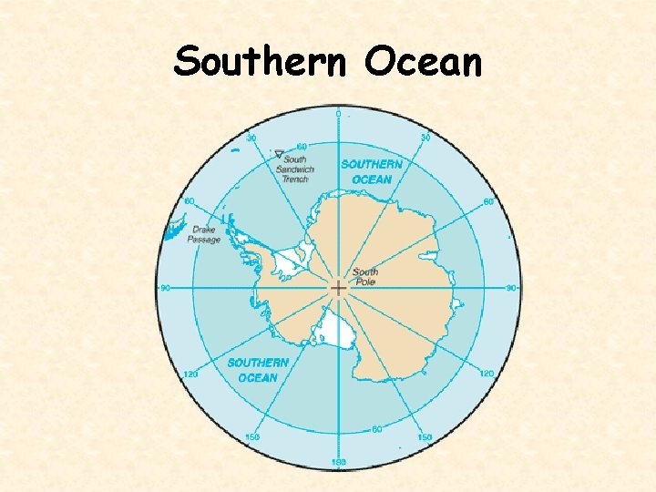
Southern Ocean
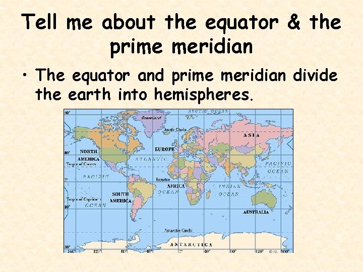
Tell me about the equator & the prime meridian • The equator and prime meridian divide the earth into hemispheres.
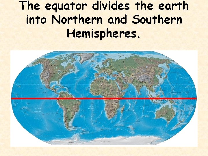
The equator divides the earth into Northern and Southern Hemispheres.
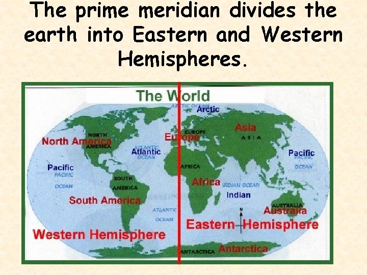
The prime meridian divides the earth into Eastern and Western Hemispheres.
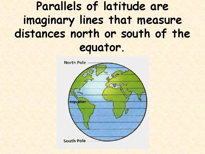
Parallels of latitude are imaginary lines that measure distances north or south of the equator.
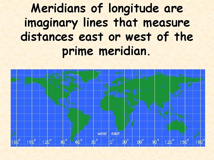
Meridians of longitude are imaginary lines that measure distances east or west of the prime meridian.
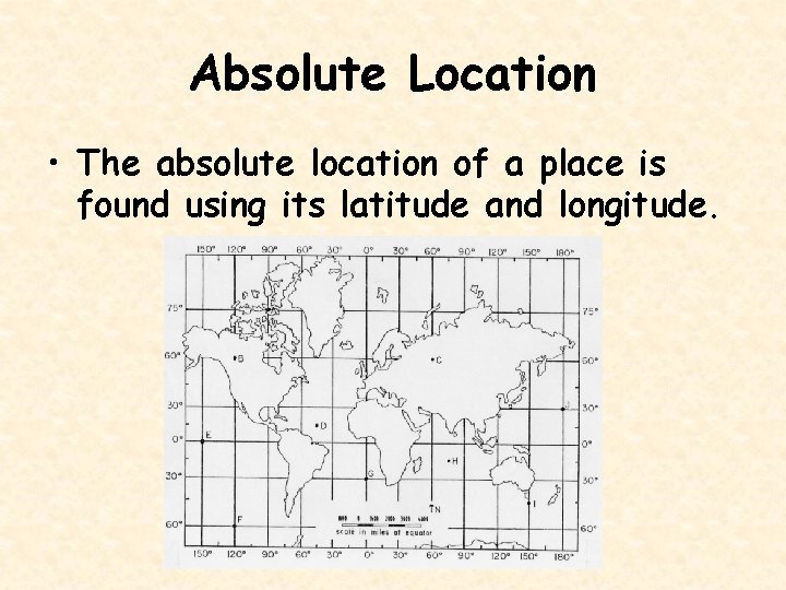
Absolute Location • The absolute location of a place is found using its latitude and longitude.
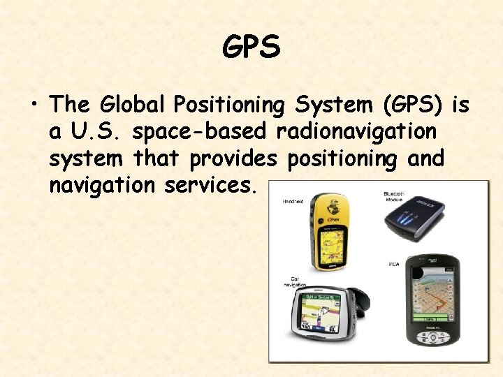
GPS • The Global Positioning System (GPS) is a U. S. space-based radionavigation system that provides positioning and navigation services.
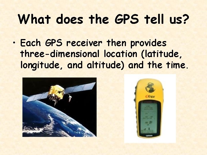
What does the GPS tell us? • Each GPS receiver then provides three-dimensional location (latitude, longitude, and altitude) and the time.
- Slides: 42