Maine Department of Health Human Services Division of


- Slides: 24
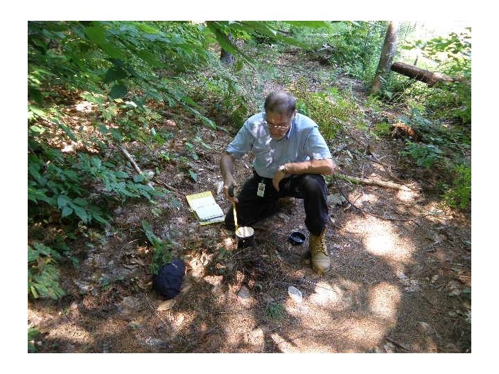
Maine Department of Health & Human Services Division of Environmental Health Subsurface Wastewater Program 2009 Site Evaluator Field Exam Review The Subsurface Wastewater Program’s annual Site Evaluator Field Exam was held August 26, 2009 at the Dwight B. Demeritt Forest at the University of Maine Orono. The following presentation comprises a discussion of the soils present in each of the ten test pits used in the field exam.
Maine Department of Health & Human Services Division of Environmental Health Subsurface Wastewater Program 2008 Site Evaluator Field Exam Review • Test Pit #2
TEST PIT #2 • Soil Profile Soil Condition Depth to Bedrock Depth to Restrictive Layer Depth to SHWT Parent Material EXPERT #1 5 B >48 >48 Stratified Glacial Drift #2 5 B >48 >48 Stratified Glacial Drift #3 5 D >48 11 Stratified Glacial Drift #4 5 C >48 24 Stratified Glacial Drift #5 5 B >48 >48 Stratified Glacial Drift #6 5 C >48 31 Stratified Glacial Drift DEH/SWP 5 B >48 >48 Stratified Glacial Drift
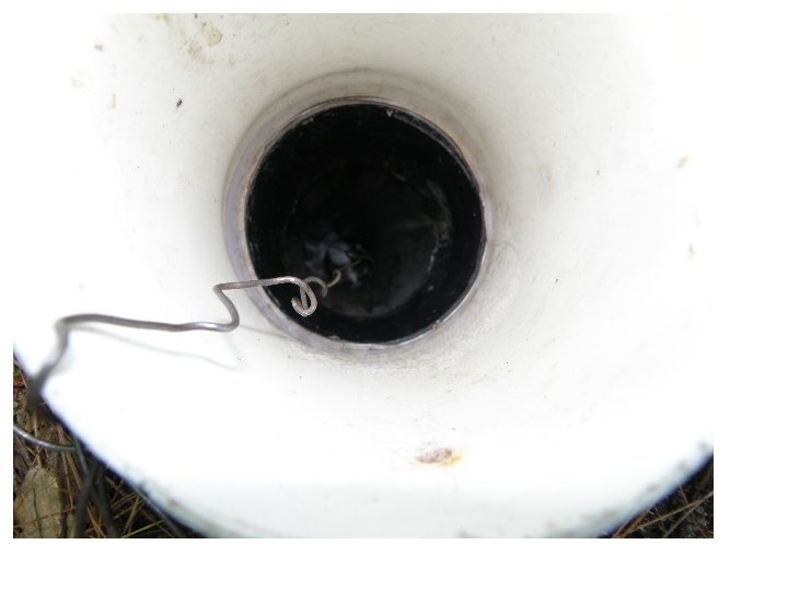
Division of Environmental Health, Subsurface Wastewater Program Groundwater Level Monitoring Data Sheet __1__ of __1__ Property Owner: City of Hallowell Town: Hallowell Street Location: Recreation Area Monitoring Well Number: #2 - Exam Site Existing Mineral Surface Elevation: 72" Top of Monitoring Well Elevation: -64" Date Depth to Free Water Elevation of Depth of Free Water Observed From Top of Well Free Water From Mineral Surface Temperature Notes 3/24/2009 50" @ 1: 30 PM -114 42" 39° F 12" Snow Pack 3/31/2009 46" @ 8: 00 AM -110 38" 39. 75° F 6" Snow Pack 4/6/2009 45" @ 8: 00 AM -109 37" 40° F Scatted Snow Pack 4/8/2009 43. 5" @ 7: 40 AM -107. 5 35. 5" 39° F After large rain event 4/14/2009 46" @ 7: 50 AM -110 38" 40° F None 4/20/2009 46. 5" @ 2: 45 PM -110. 5 38. 5" 40° F None 4/23/2009 44" @ 10: 00 AM -108 36" 40° F 4/21/09 - 1. 43" Rain 4/28/2009 46" @ 10: 00 AM -110 38" 41. 5° F None 5/4/2009 47" @ 10: 00 AM -111 39" 42° F None 5/11/2009 46. 5" @ 10: 00 AM -110. 5 38. 5" 42. 75° F None 5/18/2009 47" @ 10: 00 AM -111 38" 44° F None 5/25/2009 48" @ 8: 40 AM -112 40" 44° F None 6/3/2009 49" @ 7: 45 PM -113 41" 45° F None 6/8/2009 51" @ 4: 45 PM -115 43" 46° F None 6/15/2009 49" @ 4: 32 PM -113 41" 48° F Rain: 6/12 -1. 39" - 6/14 -0. 42" 7/15/2009 49" @ 4: 40 PM -113 41" 49° F 8/14/2009 49. 5 @ 1: 30 PM -113. 5 41. 5" 45° F
2009 Test Pit #1 RULES 2009 2005 Soil Profile 3 Soil Condition AIII/C Depth to Bedrock 32” Depth to Restrictive Layer 24” Depth to SHWT Parent Material 20” Non. Stratified Glacial Till
2009 Test Pit #2 RULES 2009 2005 Soil Profile 3 Soil Condition C/AIII Depth to Bedrock 33” Depth to Restrictive Layer 20” Depth to SHWT Parent Material 20” Stratified Glacial Drift
2009 Test Pit #3 RULES 2009 2005 Soil Profile 9 Soil Condition E D Depth to Bedrock >48” Depth to Restrictive Layer 10” Depth to SHWT Parent Material 7 -8” Marine Deposit
2009 Test Pit #4 RULES 2009 2005 Soil Profile 3 Soil Condition DII D Depth to Bedrock >48” Depth to Restrictive Layer 21 -24” Depth to SHWT Parent Material 14” Non. Stratified glacial till
2009 Test Pit #5 RULES 2009 2005 Soil Profile 3 Soil Condition C C Depth to Bedrock >48” Depth to Restrictive Layer 21” Depth to SHWT Parent Material 18 -20” Non. Stratified glacial till
2009 Test Pit #6 A RULES 2009 2005 Soil Profile 3 Soil Condition E E Depth to Bedrock >48” Depth to Restrictive Layer 21” Depth to SHWT Parent Material 4 -5” Non. Stratified glacial till
2009 Test Pit #6 B RULES 2009 2005 Soil Profile 3 Soil Condition E E Depth to Bedrock >48” Depth to Restrictive Layer 21” Depth to SHWT Parent Material 0 -3” Non. Stratified glacial till
2009 Test Pit #7 RULES Soil Profile Soil Condition Depth to Bedrock Depth to Restrictive Layer Depth to SHWT Parent Material 2009 7 C >48” 33” >48” Mixed origin 2005 C
2009 Test Pit #8 RULES Soil Profile Soil Condition Depth to Bedrock Depth to Restrictive Layer Depth to SHWT Parent Material 2009 7 C >48” 30” 25 -27” Mixed origin 2005 C
2009 Test Pit #9 RULES 2009 2005 Soil Profile 9 Soil Condition DI D Depth to Bedrock >48” Depth to Restrictive Layer 13 -15” Depth to SHWT 10 -13” Parent Material Marine Deposit
2009 Test Pit #10 RULES 2009 2005 Soil Profile 8 Soil Condition C C Depth to Bedrock >48” Depth to Restrictive Layer 34” Depth to SHWT Parent Material 33” Lacustrine Deposit
2009 Test Pit #10 RULES 2009 2005 Soil Profile 8 Soil Condition C C Depth to Bedrock >48” Depth to Restrictive Layer 34” Depth to SHWT Parent Material 33” Lacustrine Deposit
2009 Test Pit #11 RULES 2009 2005 Soil Profile 8 Soil Condition C C Depth to Bedrock >48” Depth to Restrictive Layer 25” Depth to SHWT Parent Material 20” Lacustrine Deposit
2009 Ties & Elevation Station
Road Field Exam – August 26, 2009 ERP – Nail in 8” inch Maple, 11 inches above ground Tie Point – Nail in 4 inch Cedar Name: ___________________ Date: ___________________ Tie, Bearing, Elevation and Slope Questions - 10 Points Ties to Bed Corners: A 22’ C Tie Point to A = 18’-0” Tie Point to C = 15’-8” ERP to C = 16’-8” Proposed Disposal Field 13’ Compass Bearing: C to A = N 5° E B D Elevation Reference Point (ERP): Reference Elevation: ____0”____inches Existing Ground Elevations: Elevation at Corner: A= -34” Elevation at Corner: B= -63” Elevation at Corner: C= -30” Elevation at Corner: D= -59” Slope at A to B = -19% Slope at A to C = +2% River Plan Not to Scale
2009 Ties & Elevation Station
31’ 75’ to High Water Mark at River Shoulder - 3’ @19% 28” Fill 23’ @ 25% Rules Require 25 feet 19’ 23’ @16% Existing Grade 22’ @ 6% 26’ Setbacks at A – B Line Not to Scale Upland Edge of Wetland of Special Significance Edge of Disposal Field 106’ to High Water Mark at River
Maine Department of Health & Human Services Division of Environmental Health Subsurface Wastewater Program 2008 Site Evaluator Field Exam Review Program Staff Russell Martin, PE, Program Director 287 -4735 James Jacobsen, Project Reviews, Webmaster 287 -5695 Brent Lawson, State Plumbing Inspector 287 -5670 Wendy Austin, Plumbing Permits & Data Entry 287 -5672 Lorraine Martin, Plumbing Permits and Program Support 287 -5689 Douglas Coombs, State Site Evaluator 287 -5688