
Location Climate Natural Resources Mexico Venezuela Cuba Brazil
Location, Climate, & Natural Resources: Mexico, Venezuela, Cuba, & Brazil Where People Live & How They Trade
Mexico
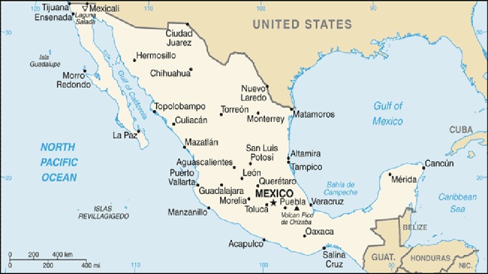
Location • It’s south of the US, east of the Pacific Ocean, and west of the Gulf of Mexico & Caribbean Sea. • It’s great that it’s located between major bodies of water because: • great opportunities for trading • can easily ship goods around the world • Another advantage: close to US, so trade between two countries is convenient.
Climate • In Mexico, the climate varies according to location: • The northern part is mostly desert (hot). • The beaches have a tropical climate. • Mountains and plains have a more mild climate.

Chihuahua (Mexican state)
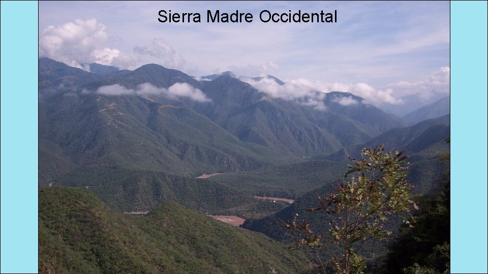
Sierra Madre Occidental
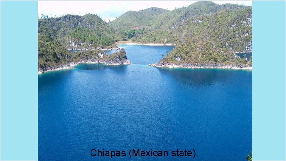
Chiapas (Mexican state)
Natural Resources • Oil is one of the top exports: • Exports 1. 7 million barrels/day. • Money from oil sales provides 1/3 of government’s budget. • Mexico is one of the world’s top producers of silver. • Other exports include fruits, vegetables, coffee, & cotton. • Tourism is also a major industry.
Where People Live • Most people live in central Mexico: • arable farmland with enough rain to grow crops • many manufacturing centers are located here (provide jobs to 75% of the country’s population) • urban: 77% • rural: 23%
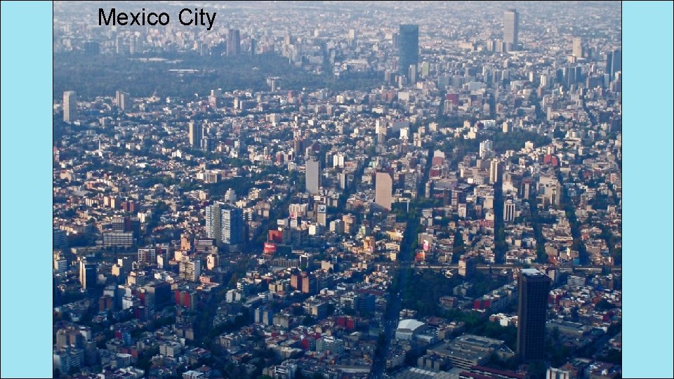
Mexico City
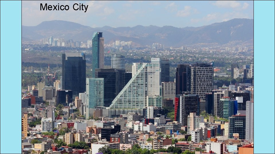
Mexico City
How They Trade • Mexico has a mix of new and old industries. • recently expanded railroads, airports, and electric generating plants • 7 major seaports • exports: oil, manufactured goods, silver, fruits, vegetables, coffee, & cotton • tourism
Venezuela
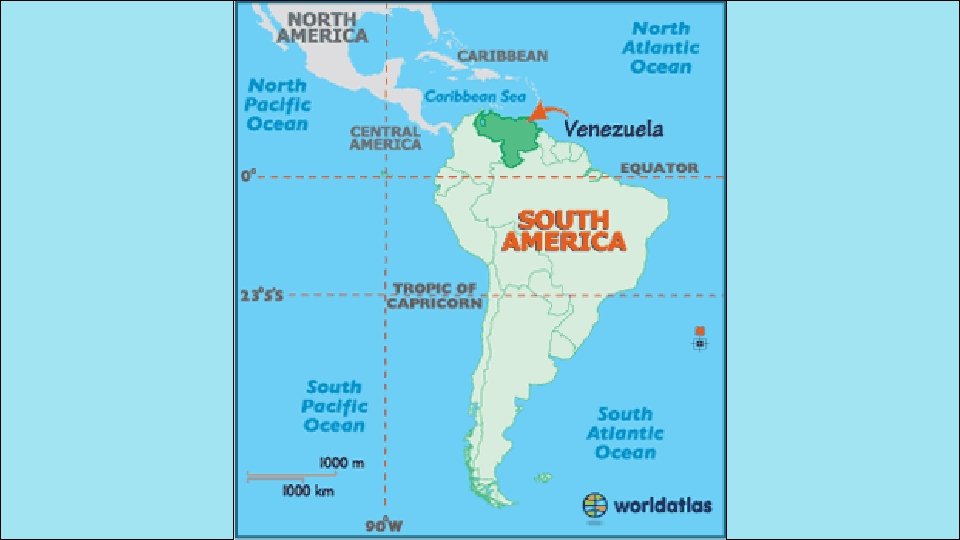
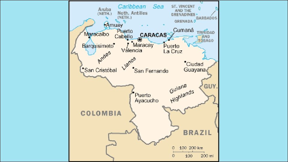
Location • Venezuela is in the northeast part of South America, just north of equator. • It has coasts on Caribbean Sea and Atlantic Ocean. • This gives it easy access to trade with other countries. • The nearby Panama Canal provides a shortcut to the Pacific to trade with Asian countries. • There are mountains in the north and south, so only about 3% of the land is arable.
Climate • Venezuela has a hot, tropical climate. • It’s cooler in the mountains. • Rain varies by region (16 inches on the coast; over 100 inches in the mountains).
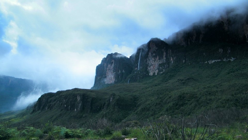
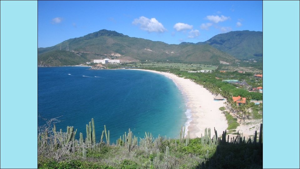
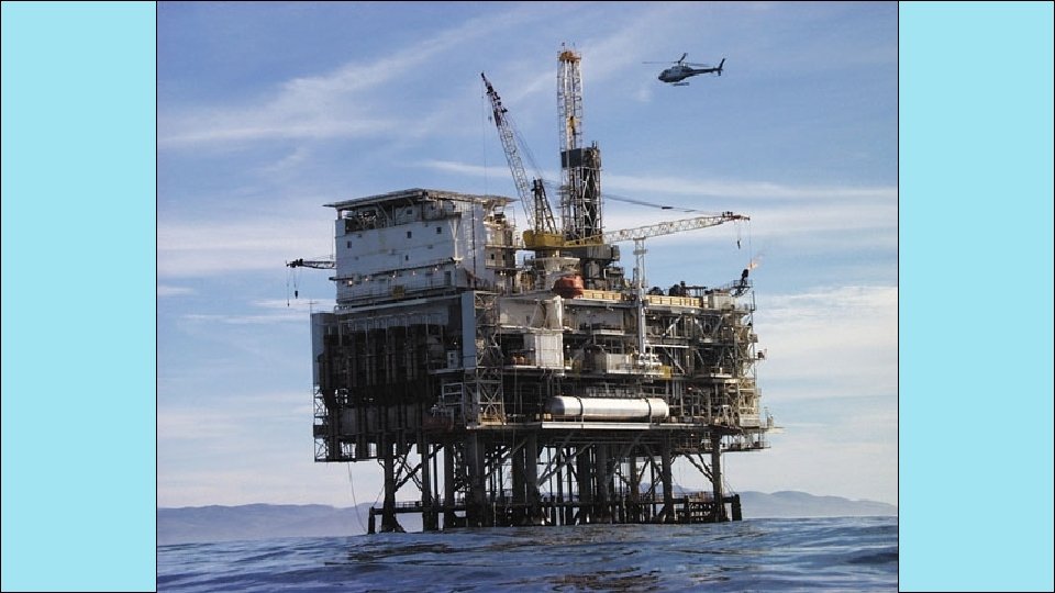
Natural Resources • Venezuela is the sixth-largest oil exporter in the world. • It produces 2. 8 million barrels/day. • 90% of the money the government makes on trade comes from oil exports. • Farming provides jobs for 10% of the population.
Where People Live • urban: 88% • rural: 12% • Caracas is the largest city. • Most people live in the northern highlands, along the coast.
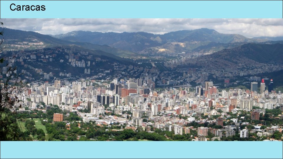
Caracas
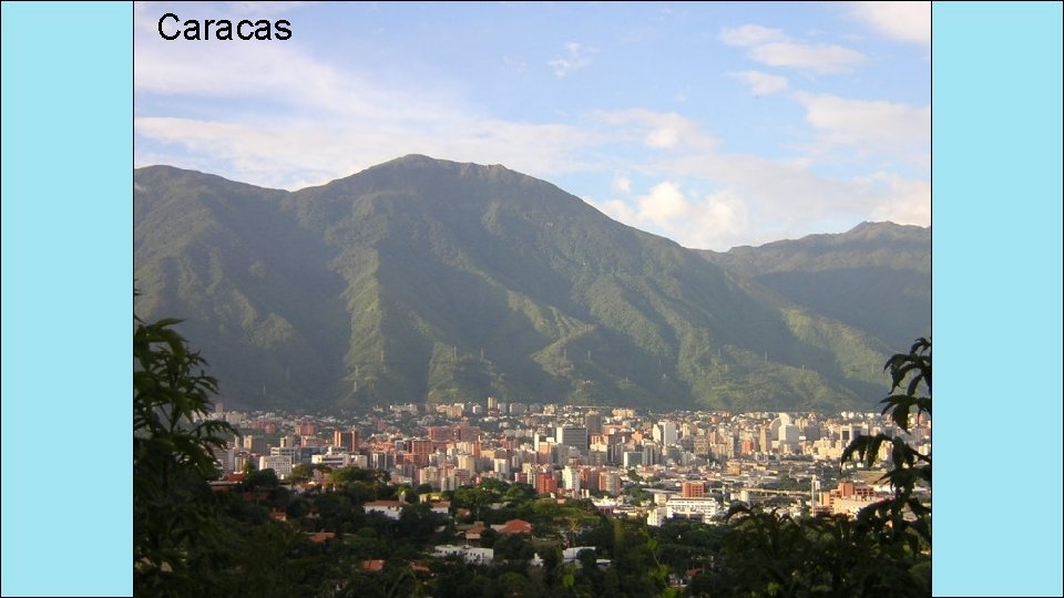
Caracas
How They Trade • 90% of money made on exports comes from oil. • 4 major seaports • Other exports: bauxite and aluminum, steel, chemicals, agricultural products, basic manufactures • Tourism

Cuba
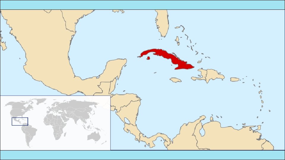
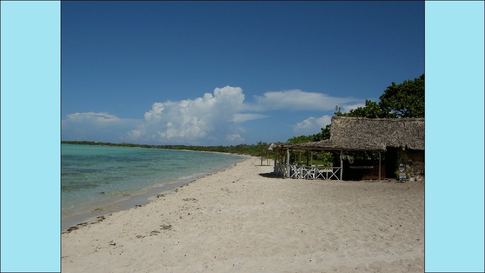
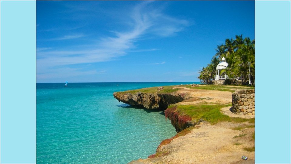
Location • Cuba is an island 90 miles south of Florida, in the Caribbean Sea. • It’s only 700 miles long. • It’ the largest island in the West Indies. • It’s location on ocean trading routes has been an important influence on its history and economy.
Climate • The climate is tropical but moderated by trade winds. • (It’s warm-to-hot all year long, but the winds provide relief from the heat. ) • There’s a rainy season from May to October and a dry season from November to April. • Cuba is a target for hurricanes. • Hurricane season runs from June to November.
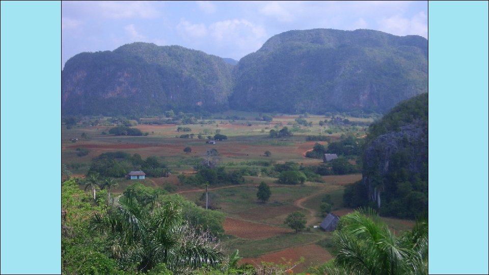
Natural Resources • 28% of Cuba’s land is arable. • It’s most important export is sugar cane. • Other exports include: coffee, fish, fruits, & tobacco. • Tourism is a fast-growing industry.
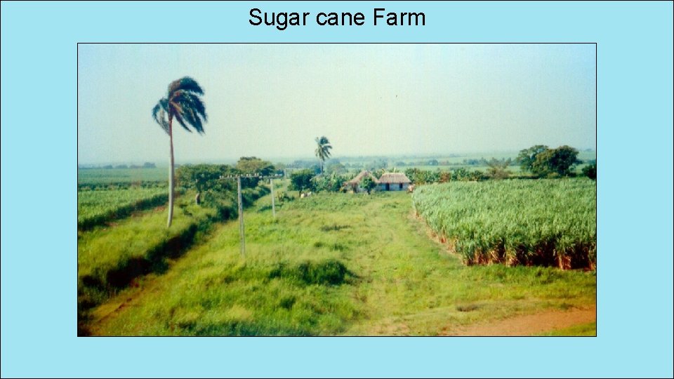
Sugar cane Farm
Where People Live • urban: 76% • rural: 24% • Havana is the largest city. • 20% of Cubans live in Havana.
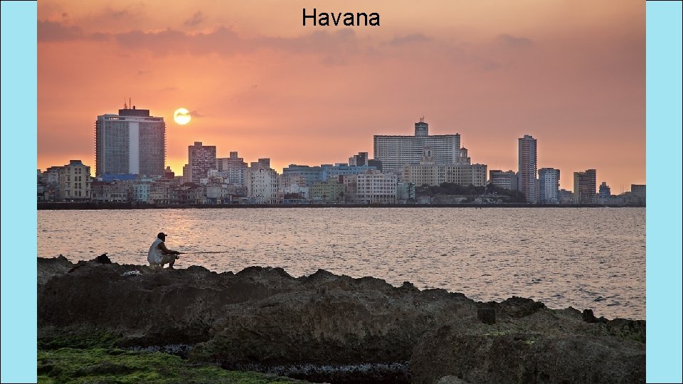
Havana
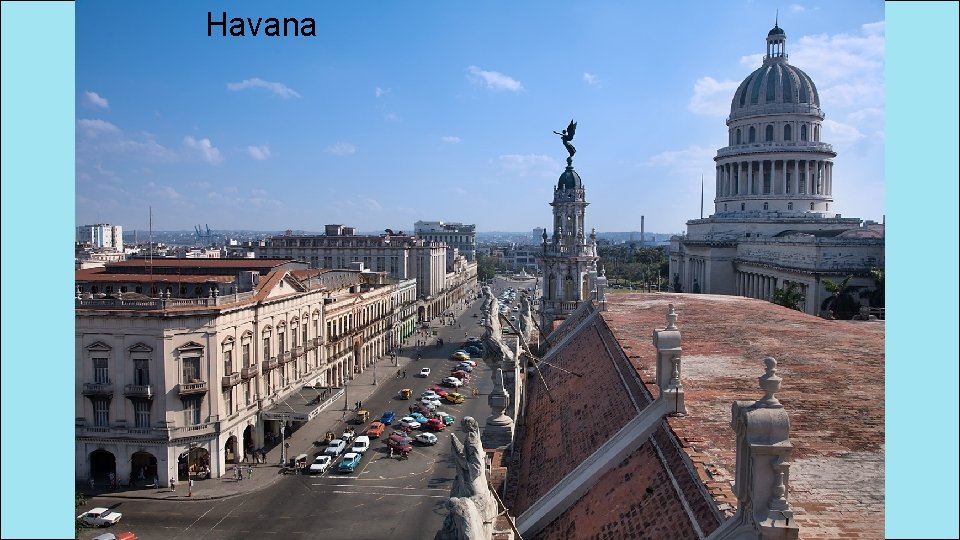
Havana
How They Trade • 3 major seaports • Exports: sugar, nickel, tobacco, fish, medical products, citrus, coffee • Tourism • Venezuela is Cuba’s largest trading partner; it sells oil to Cuba at a reduced price.
How They Trade • The Communist government of the Soviet Union helped support Cuba for many years. • When it collapsed in 1991, Cuba faced difficult times. • Trade from other countries does not bring in enough money to meet needs of Cuba’s people. • Government sometimes orders businesses & factories to close. • Also orders blackouts—times when all electricity is cut off in order to save electricity.
Brazil
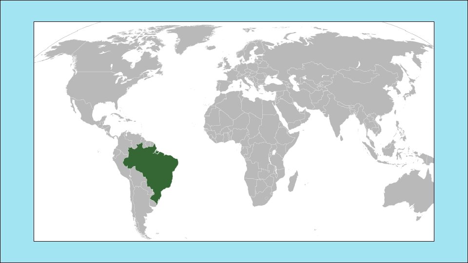
Location • Brazil is on the eastern side of South America, along the coast of the Atlantic Ocean. • It shares a border with nearly every country in South America! • Amazon River and other large rivers stretch across Brazil.
Climate • Brazil’s location on the equator gives it the climate needed to support one of the world’s largest rain forests. • Its climate is mostly hot and tropical. • In the south, the climate is temperate (mild).
Natural Resources • Only 7% of land is arable, but Brazil makes the most of this resource. • Farmers grow 1/3 rd of the world’s coffee, and lead the world in production of oranges, papayas, sugar cane, and soybeans. • Only the US exports more farm products than Brazil.
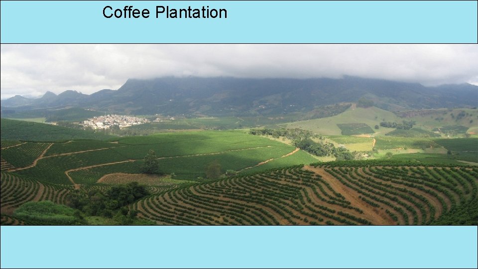
Coffee Plantation
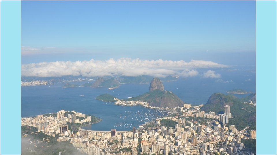
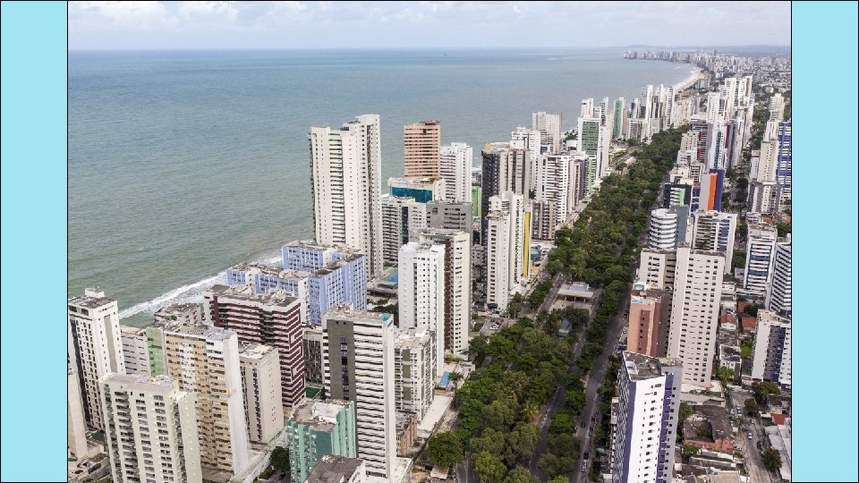
Where People Live • urban: 84% • rural: 16% • It’s the most populated country in Latin America. • It’s the largest Portuguese-speaking country in the world. • Most Brazilians live along the coasts; 80% live within 200 miles of the ocean.
Havana
Havana
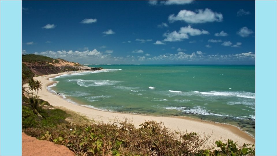
How They Trade • 7 major seaports • Exports: transportation equipment, iron ore, soybeans, footwear, coffee, autos, sugar, fruits • tourism • Amazon Rainforest attracts many visitors. • Beaches are another attraction. • USA is Brazil’s largest trading partner.
- Slides: 51