
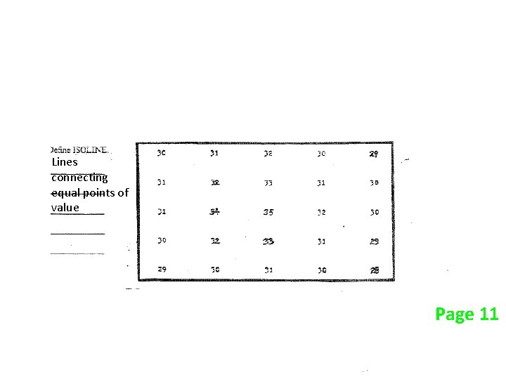
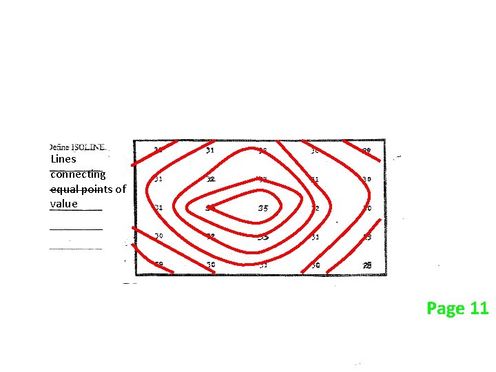
Lines that connect equal points of field value



- Slides: 42
Lines that connect equal points of field value. B. Field: an region of the environment that has some measurable value at a given point. Examples Page 10
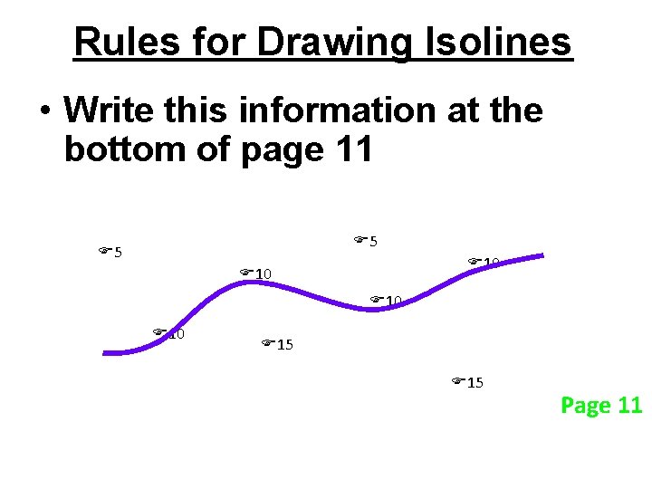
Rules for Drawing Isolines • Write this information at the bottom of page 11 5 5 10 10 10 15 15 Page 11
Rules for Drawing Isolines 1) Isolines connect points of equal value. 5 5 10 10 10 15 15 Page 11
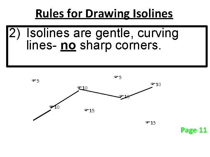
Rules for Drawing Isolines 2) Isolines are gentle, curving lines- no sharp corners. 5 5 10 10 10 15 15 Page 11
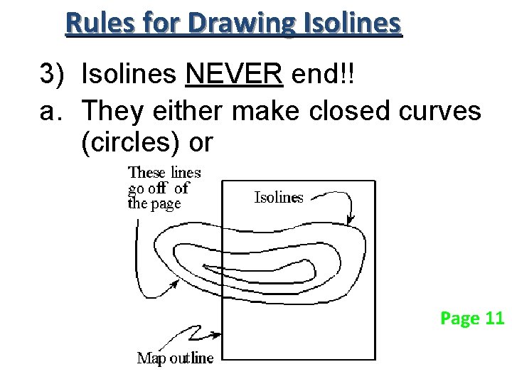
Rules for Drawing Isolines 3) Isolines NEVER end!! a. They either make closed curves (circles) or Page 11
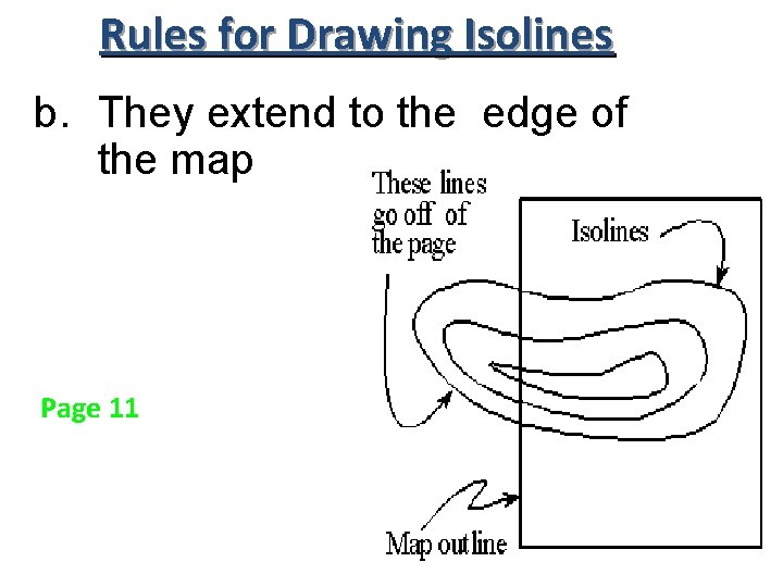
Rules for Drawing Isolines b. They extend to the edge of the map Page 11
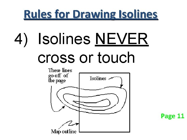
Rules for Drawing Isolines 4) Isolines NEVER cross or touch Page 11
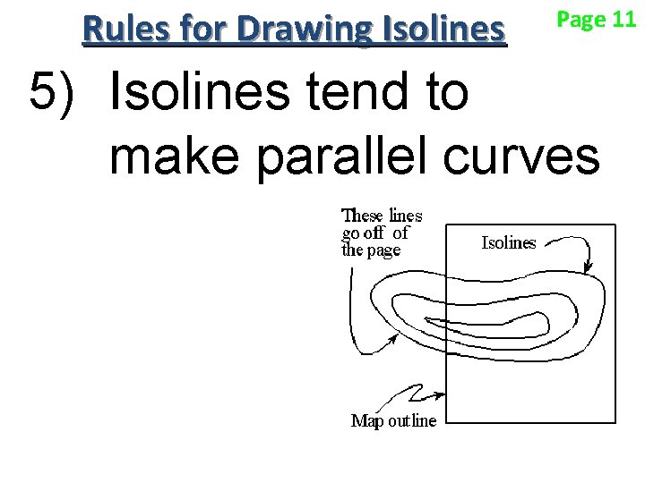
Rules for Drawing Isolines Page 11 5) Isolines tend to make parallel curves
Lines that connect equal points of value B. Page 10
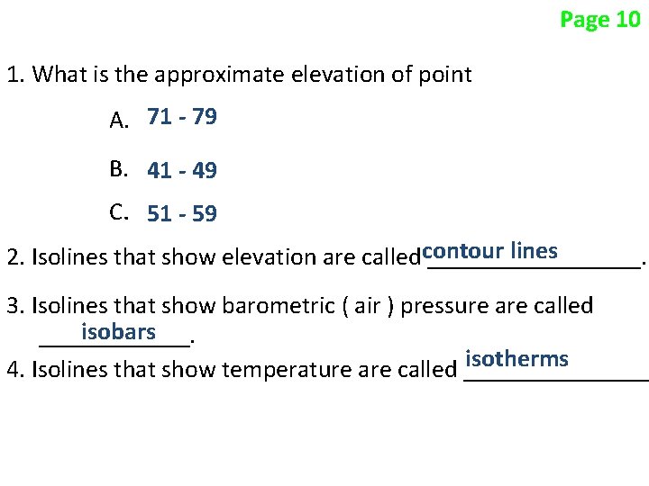
Page 10 1. What is the approximate elevation of point A. 71 - 79 B. 41 - 49 C. 51 - 59 lines 2. Isolines that show elevation are calledcontour _________. 3. Isolines that show barometric ( air ) pressure are called isobars ______. isotherms 4. Isolines that show temperature are called ________
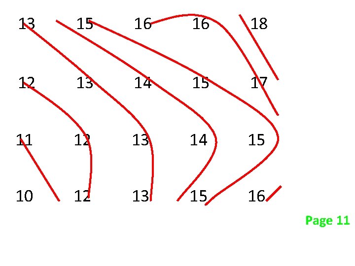
13 15 16 16 18 12 13 14 15 17 11 12 13 14 15 10 12 13 15 16 Page 11
Lines connecting equal points of value Page 11
Lines connecting equal points of value Page 11
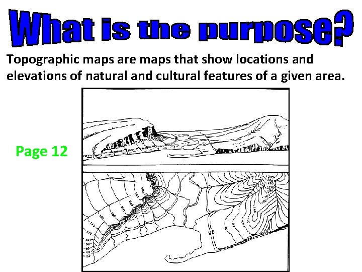
Topographic maps are maps that show locations and elevations of natural and cultural features of a given area. Page 12
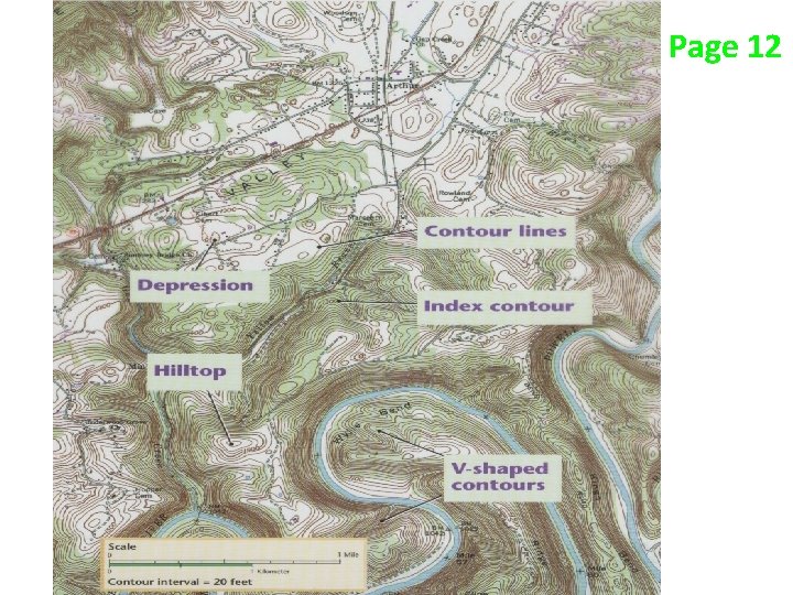
Page 12
Page 12
Page 12 When might someone use a topographic map?
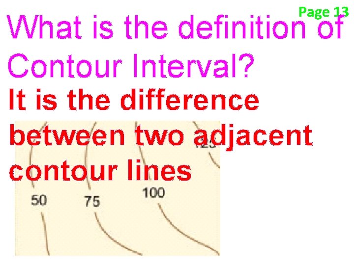
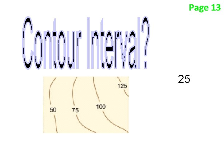
Page 13 What is the definition of Contour Interval? It is the difference between two adjacent contour lines
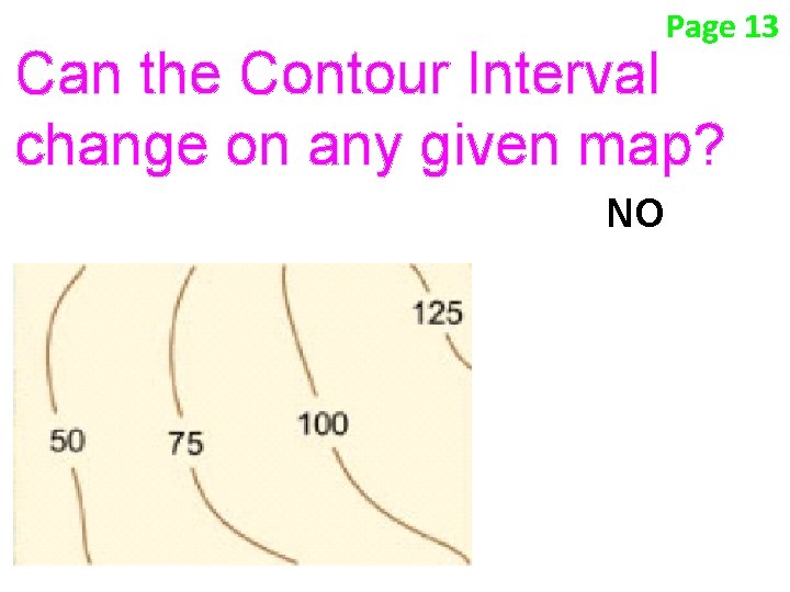
Page 13 Can the Contour Interval change on any given map? NO
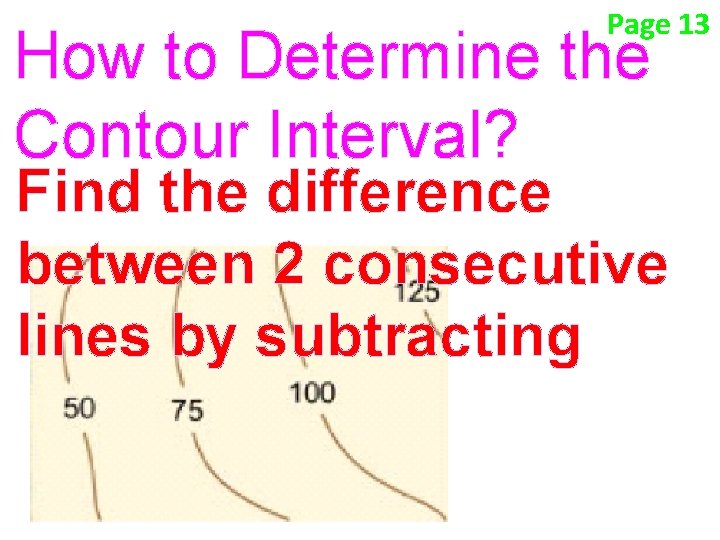
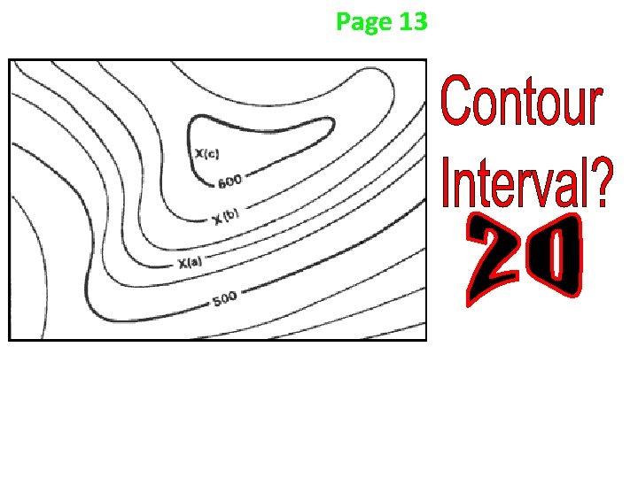
Page 13 How to Determine the Contour Interval? Find the difference between 2 consecutive lines by subtracting
Page 13 25
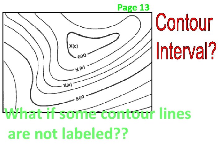
Page 13 What if some contour lines are not labeled? ?
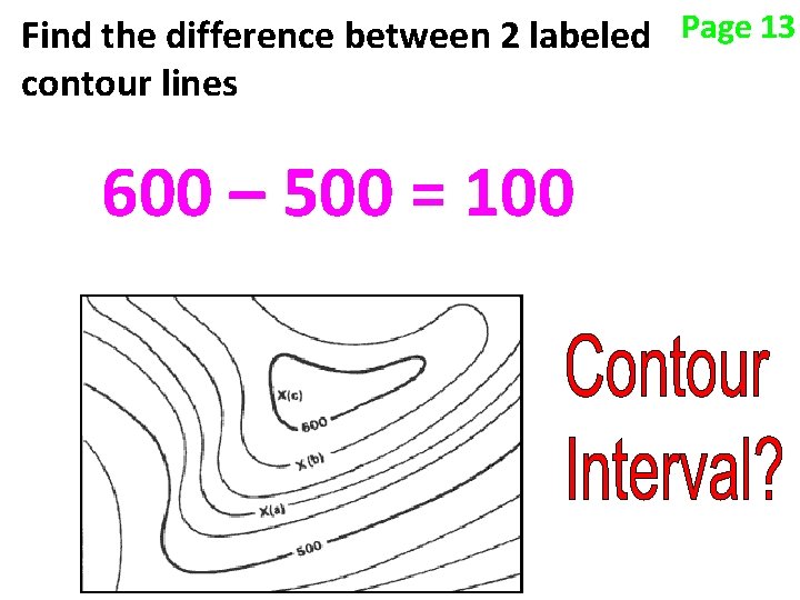
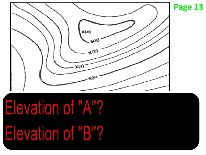
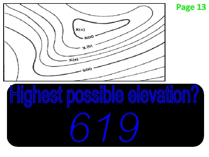
Find the difference between 2 labeled Page 13 contour lines 600 – 500 = 100
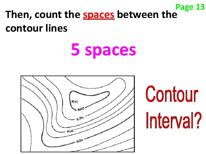
Page 13 Then, count the spaces between the contour lines 5 spaces
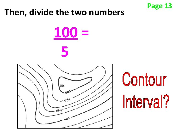
Then, divide the two numbers 100 = 5 Page 13
Page 13
Page 13
Page 13
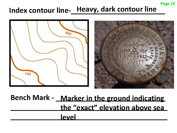
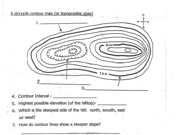
Page 13 Heavy, dark contour line Index contour line-____________ Bench Mark - ______________ Marker in the ground indicating ____________________ the “exact” elevation above sea ____________________ level
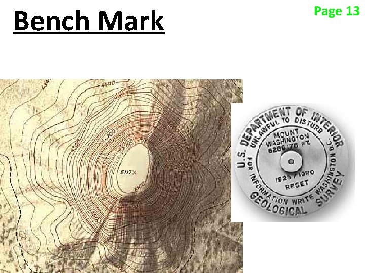
Bench Mark Page 13
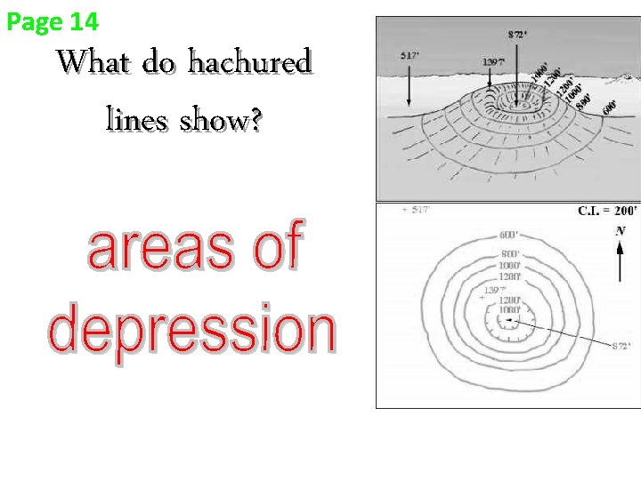
Page 14 What do hachured lines show?
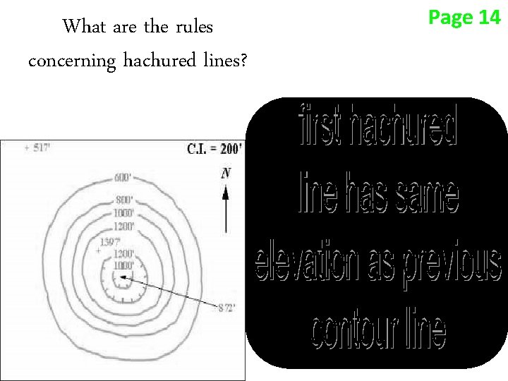
What are the rules concerning hachured lines? Page 14
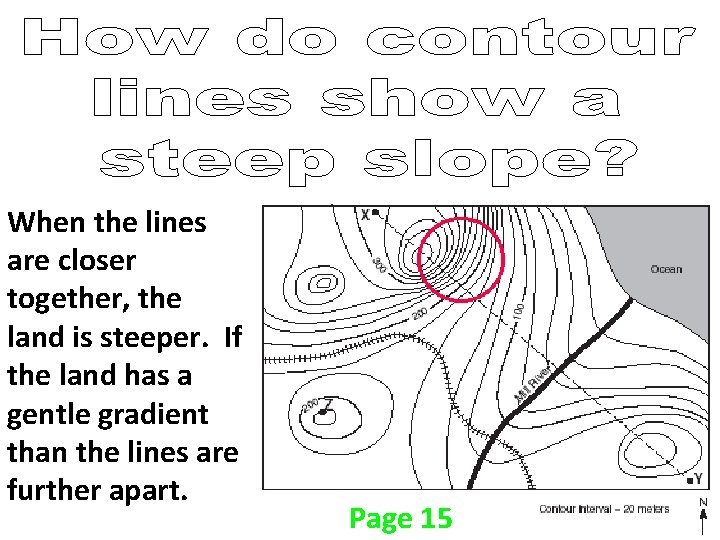
When the lines are closer together, the land is steeper. If the land has a gentle gradient than the lines are further apart. Page 15
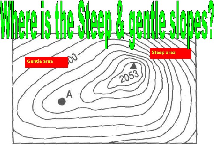
• . Gentle area Steep area
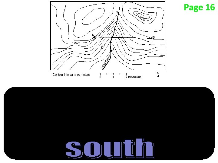
Page 16
Page 16
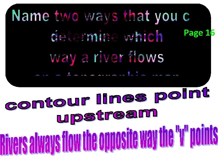
Page 16
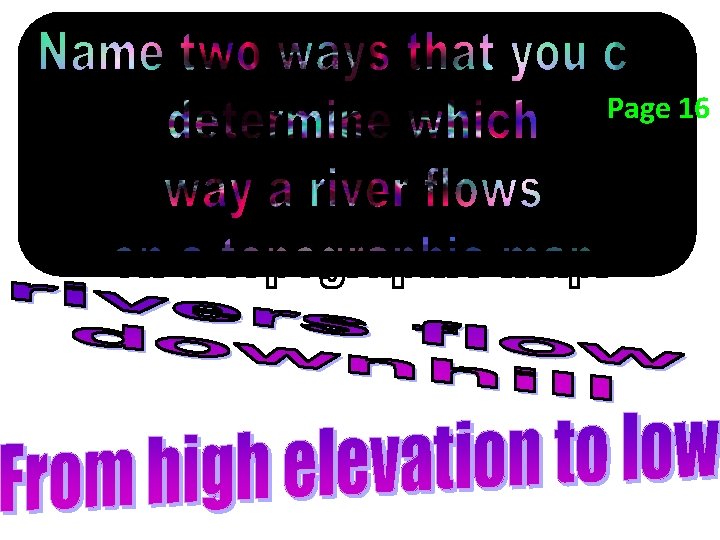
Page 16
Page 16
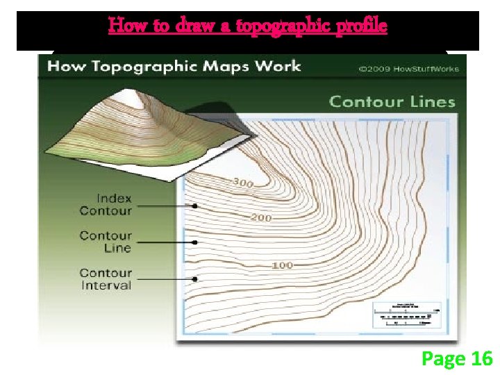
How to draw a topographic profile Page 16
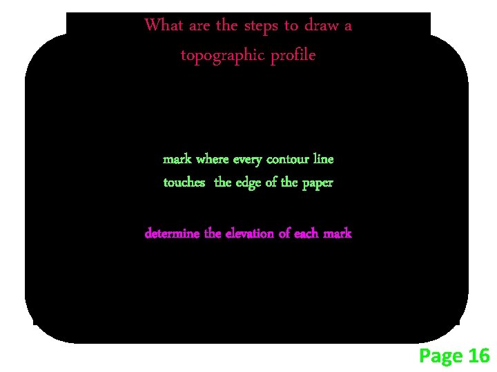
What are the steps to draw a topographic profile place a piece of paper between the points mark where every contour line touches the edge of the paper determine the elevation of each mark place the paper on the graph and mark the elevation of each contour line Page 16